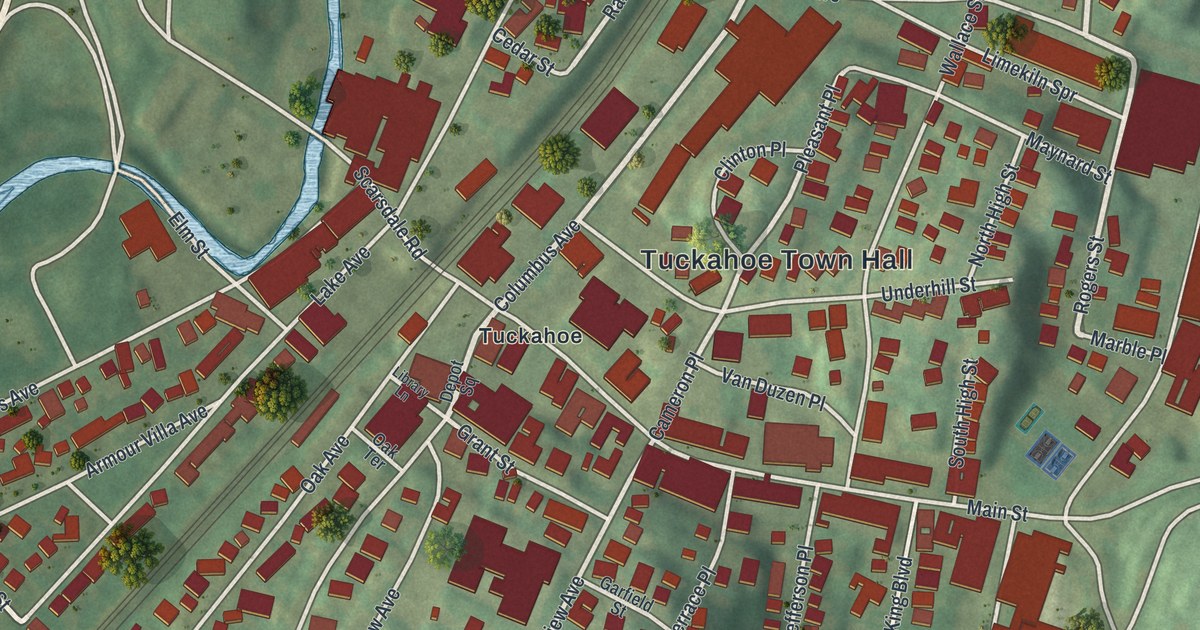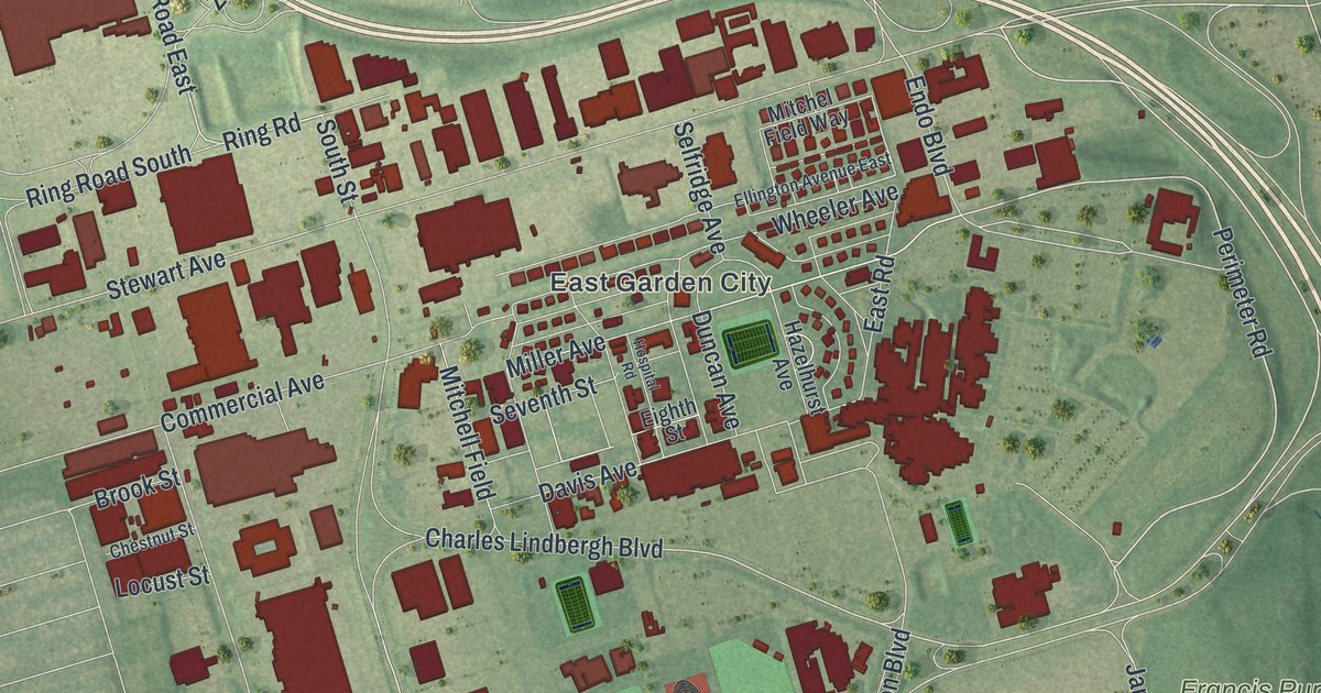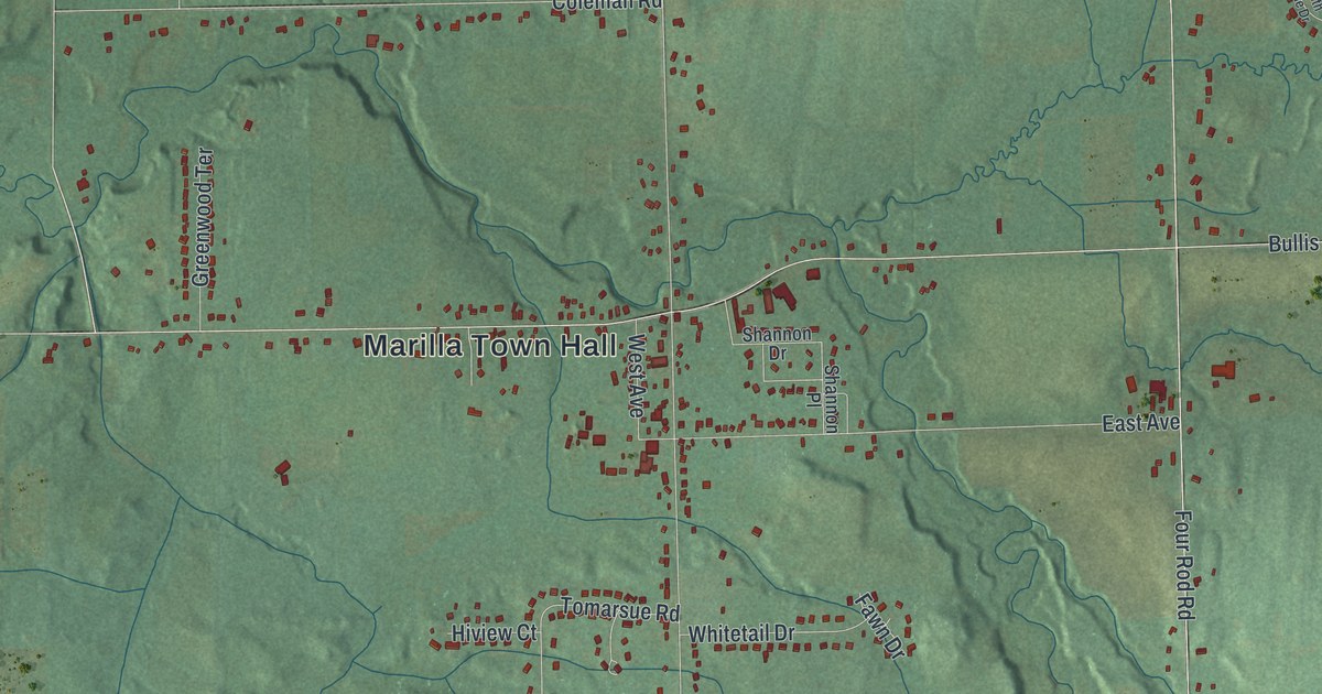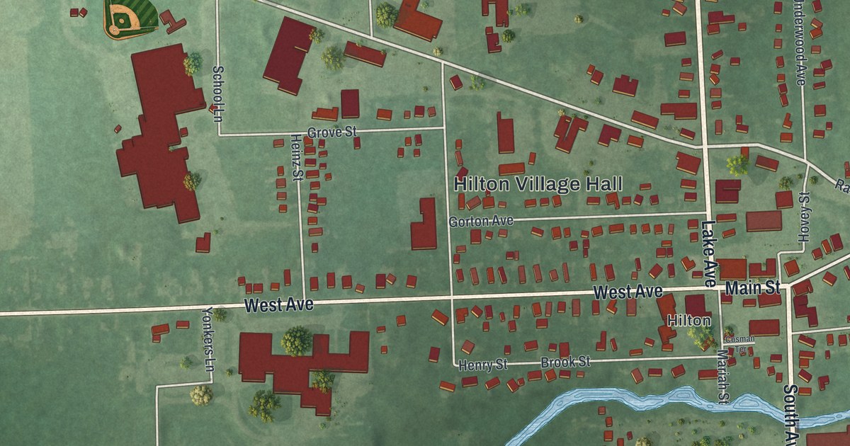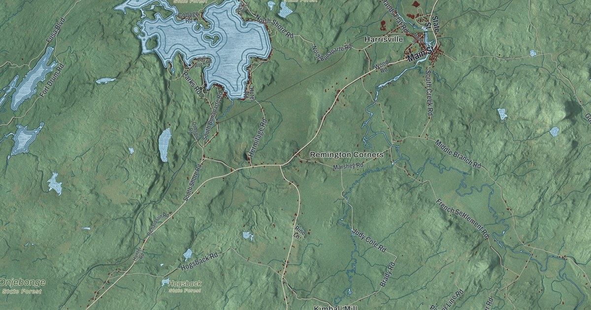
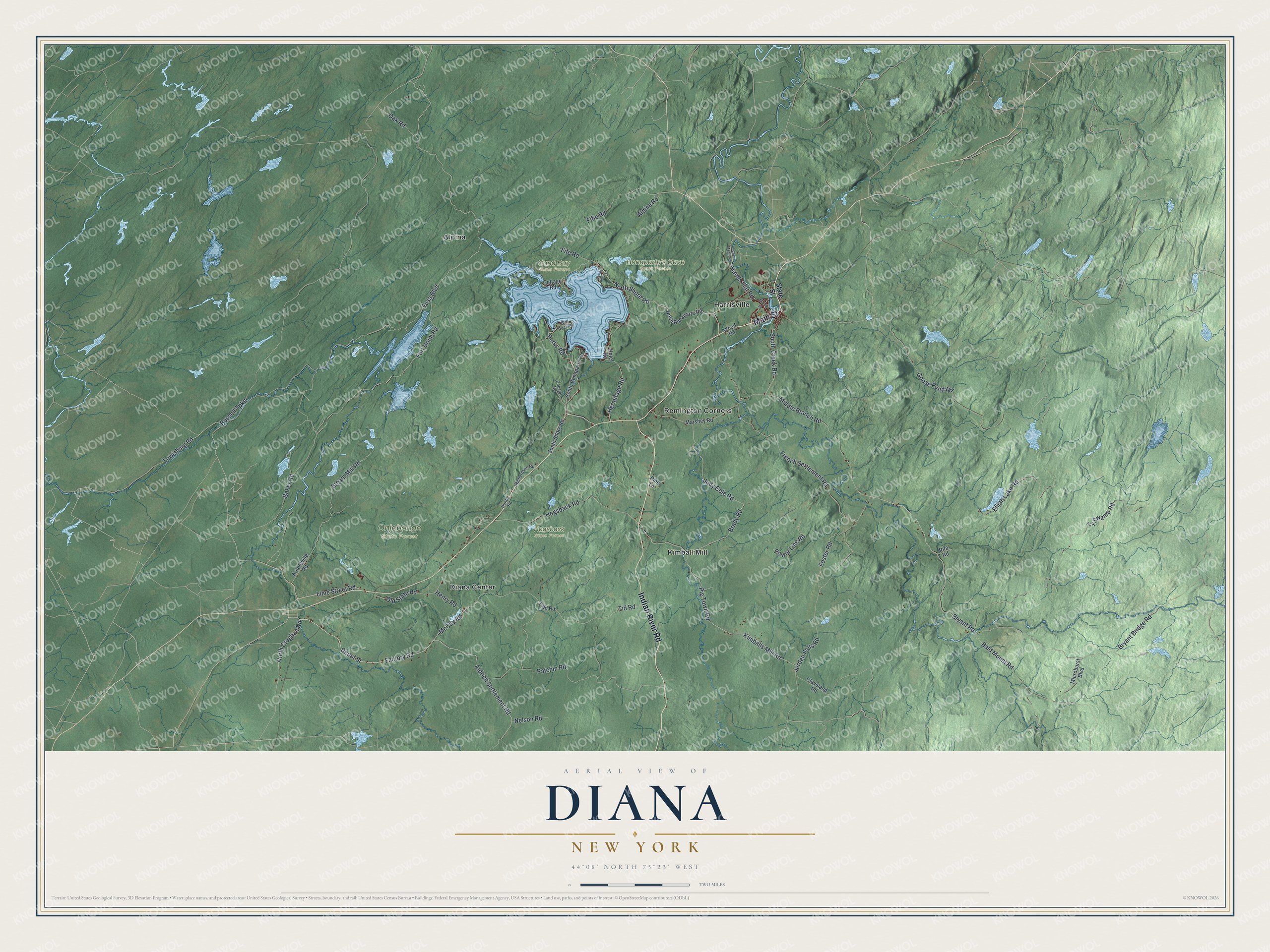
This beautifully detailed map of Diana, New York was created in 2026 using aerial imagery combined with modern topographical, census, street and landmark data. It’s a one-of-a-kind view of Diana that combines accurate data with a vintage aesthetic. The map shows every building in its true location, many of the roads carry their names, and the shaded topographic relief shows the shape of the land.
Explore an aerial view of Diana, New York
On the map you’ll find Alpina, Diana Center, Harrisville, Kimball Mill, Remington Corners, Bonaparte’s Cave State Forest, Hogsback State Forest, Onjebonge State Forest, and Sand Bay State Forest, along with Indian River Road, Main Street, Lewisburg Road, Factory Road, Aldrich Settlement Road, and more. If you look closely you can even find your house accurately drawn in its correct location. Zoom in on the preview to look for yours.
Did You Know?
The town took its name from Diana, the Roman goddess. It was formed from part of Watson in 1830. Napoleon’s older brother, Joseph Bonaparte, made his home here during some of his years in exile. He lived near Natural Bridge. Lake Bonaparte in the town’s north is named for him.
Take a closer look at the Diana map
Names on this map
These names are printed on this map.
Places: Bonaparte's Cave State Forest, Hogsback State Forest, Onjebonge State Forest, Sand Bay State Forest, Alpina, Diana Center, Harrisville, Kimball Mill and Remington Corners.
Streets and roads: Indian River Road, Main Street, Lewisburg Road, Factory Road, Aldrich Settlement Road, North Croghan Road, Fort Drum Road, Parks Road, North Shore Road, Russell Turnpike, Fusa Boulevard, Steam Mill Road.
More street names, A to Z
Alpine Road, Arnoldville Road, Baker Road, Bald Mount Road, Brady Road, Bryant Bridge Road, Bryant Road, Bull Rock Road, Cleveland Road, Cottage Road, Depot Street, Dewey Point Lane, Dobson Road, Elijah Lake Road, Fife Road, Fifie Road, Foster Road, French Settlement Road, Goose Pond Road, Hands Flat Road, Henry Road, Hermitage Road, Hogsback Road, Hotel Road, Hunter Road, Jerden Falls Road, Judy Cole Road, Kimballs Mill Road, Lime Street Road, Lower Maple Road, Maple Street, Marshey Road, McCoy Road, Microburst Boulevard, Middle Branch Road, Nelson Road, North Bonaparte Road, Oak Road, Old State Road, Patchin Road, Pig Town Road, Pine Lane, Power Line Road, Richardson Road, Rita Road, South Bonaparte Road, South Creek Road, South Shore Road, State Street, Tidd Road, Tid Road, Ty Swamp Road, Wood Road.
See it on a wall
The Diana map as a framed print. Swipe for more.


This beautifully detailed map of Diana makes an attractive addition to your office, library, or den, and it can even be used to teach children the geography and history of the area. It also makes a great gift for someone who left Diana and still calls it home. When you’re done exploring, click here to get your copy of the Diana map.