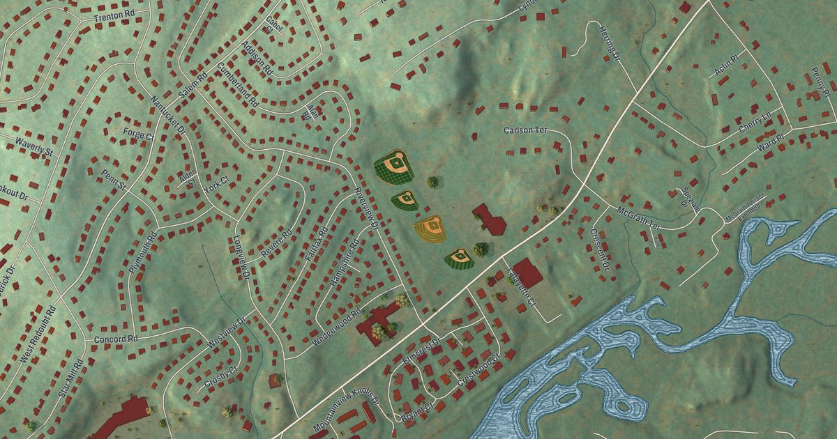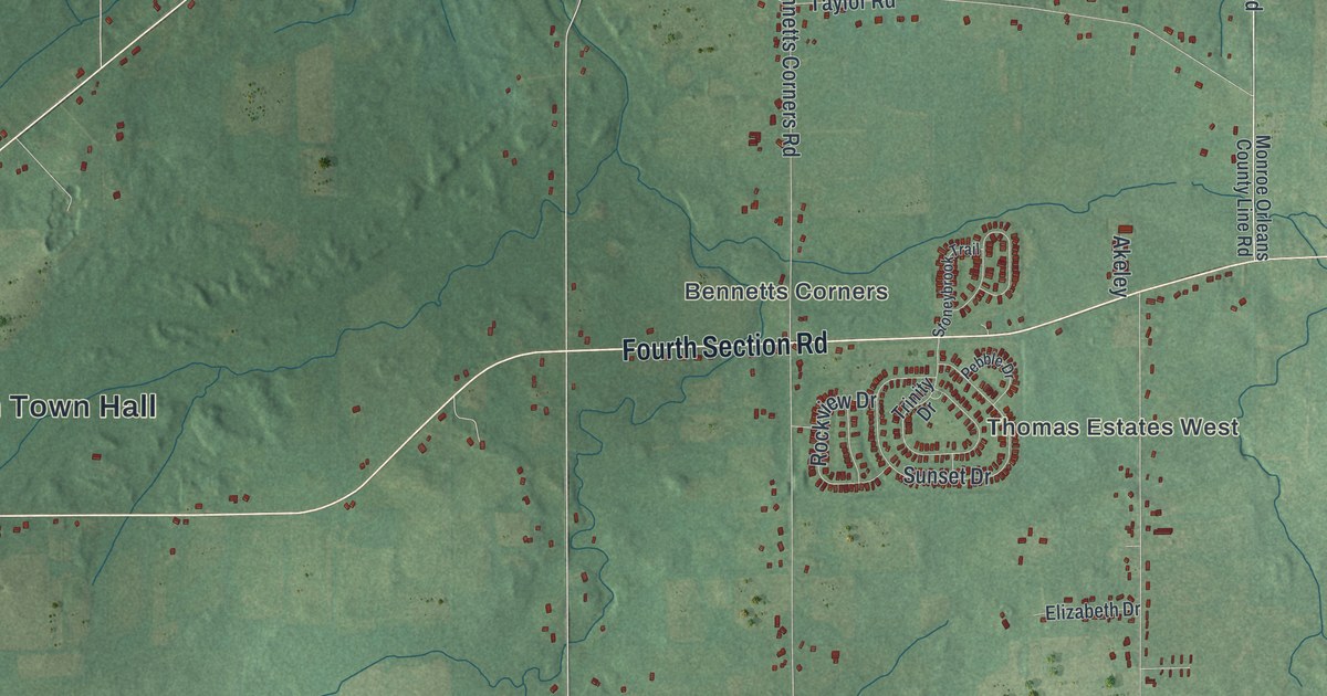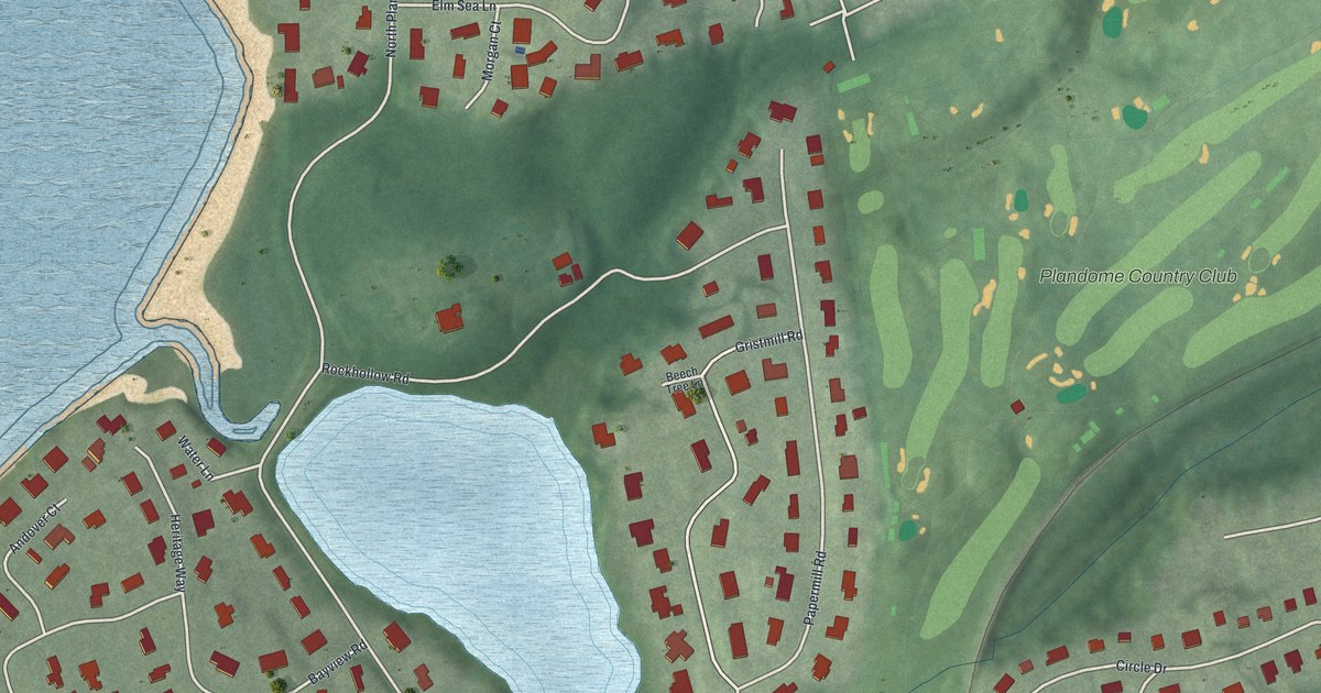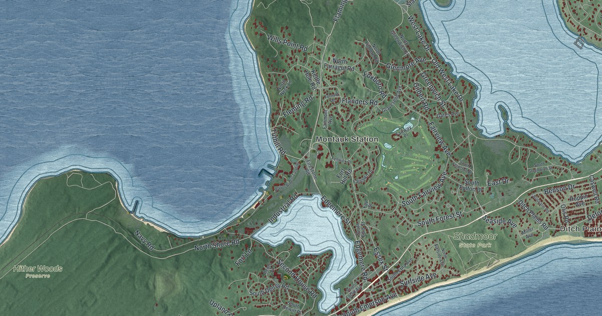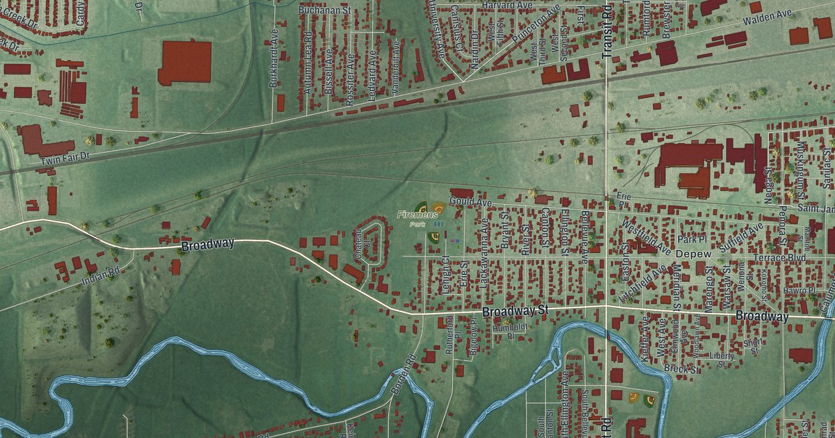
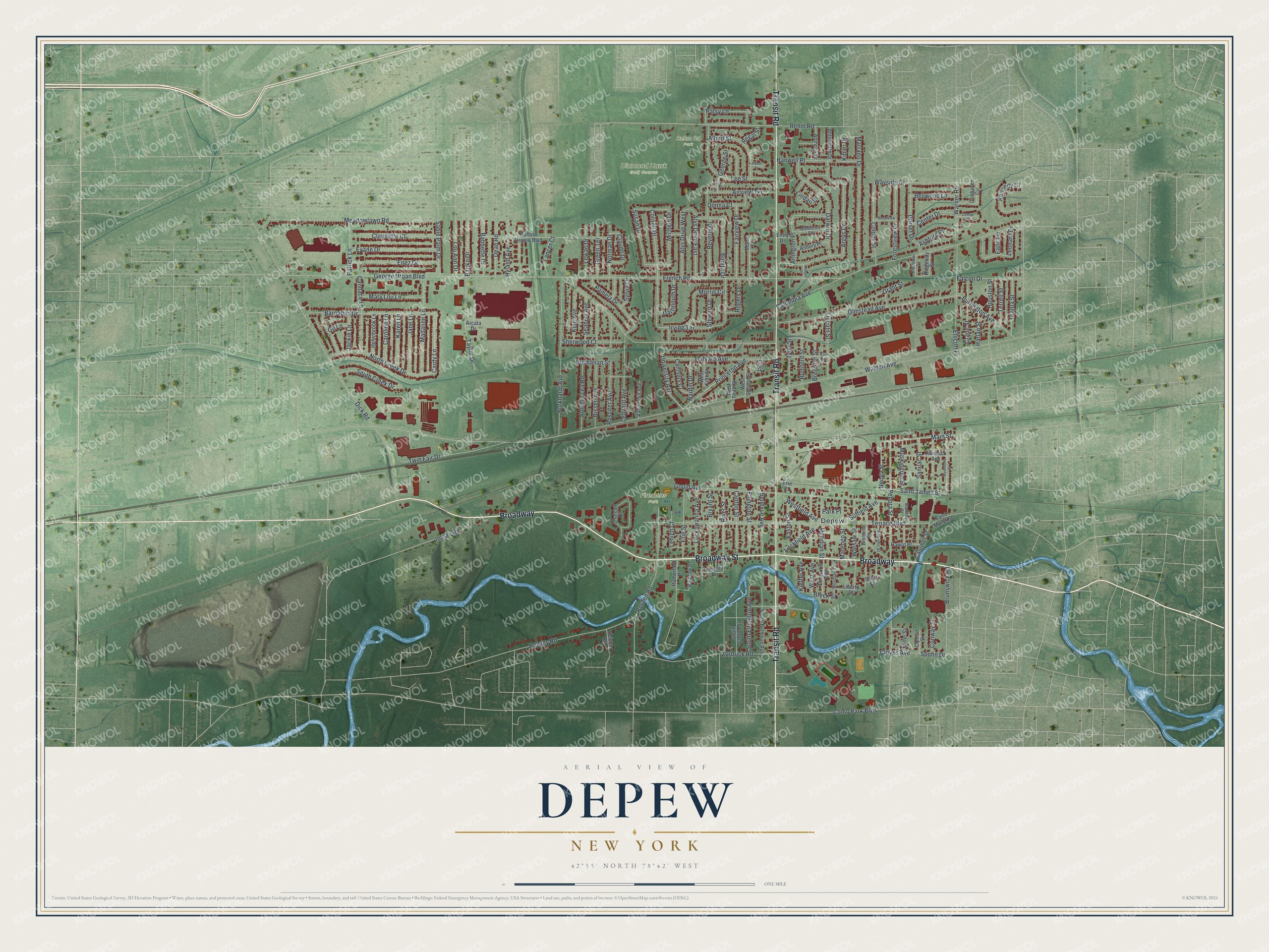
This beautifully detailed map of Depew, New York was created in 2026 using aerial imagery combined with modern topographical, census, street and landmark data. It’s a one-of-a-kind view of Depew that combines accurate data with a vintage aesthetic. The map shows every building in its true location, many of the roads carry their names, and the shaded topographic relief shows the shape of the land.
Explore an aerial view of Depew, New York
On the map you’ll find Firemens Park and Rehm Rd Park, along with Broadway Street, Transit Road, Saint James Street, University Avenue, Neoga Street, and more. If you look closely you can even find your house accurately drawn in its correct location. Zoom in on the preview to look for yours.
Did You Know?
Depew exists because of a railroad. The New York Central chose this site for its shops, and ground was broken on May 17, 1892. The village was named for Chauncey M. Depew, the railroad’s president. The great shops opened on April 1, 1893, with forty workers.
Take a closer look at the Depew map
Names on this map
These names are printed on this map.
Places: Diamond Hawk Golf Course, Firemens Park, Rehm Rd Park and Depew.
Streets and roads: Broadway, Broadway Street, Transit Road, Saint James Street, University Avenue, Neoga Street, Princeton Avenue, Cardy Lane, French Road, Main Street, Breck Street, Walden Avenue.
More street names, A to Z
Airview Terrace, Albert Court, Albert Street, Alys Drive East, Alys Drive West, Anthony Drive, Antoinette Drive, Arcata Drive, Argus Drive, Arlington Place, Asbury Place, Ashford Place, Autumn Lea Road, Babbette Drive, Banko Drive, Barnabas Drive, Bellevue Avenue, Bellwood Lane, Beverly Drive, Bigelow Place, Bissell Avenue, Bonita Drive, Borden Road, Brewster Street, Brunswick Road, Bryant Street, Buchanan Street, Buffalo Depew Boulevard, Burkhardt Avenue, Burlington Avenue, Calumet Street, Candace Lane, Canisius Court, Canton Street, Caroline Lane, Center Drive, Chateau Court, Claude Drive, Claudette Court, Cloyes Avenue, Colony Street, Columbia Avenue, Como Park Boulevard, Conner Drive, Conrad Street, Conway Street, Cornell Drive, Crane Street, Dartmouth Drive, Darwin Drive, Dean Road, Dick Road, Doehaven Circle, Donna Court, Dorset Drive, Eagle Terrace, Easton Street, Eliot Avenue, Ellicott Place, Ellington Street, Elmwood Avenue, Enez Drive, Entry Drive, Erie Place, Erie Street, Evane Drive, Fairview Drive, Falcon Drive, First, Forestview Drive, George Street, George Urban Boulevard, Gil Lane, Gould Avenue, Grant Street, Green Terrace, Hanwell Place, Harlan Street, Harvard Avenue, Hawro Place, Helenbrook Lane, Houston Street, Howard Lane, Humboldt Place, Hyland Avenue, Indian Road, Irving Terrace, Jackie Lane, Jane Lane, Karen Lane, Keicher Road, Kennedy Court, Kibler Drive, Kieffer Avenue, King Avenue, Kokomo Street, Krieger Street, Lackawanna Avenue, Lancer Court, Laverack Avenue, Ledyard Avenue, Lee Street, Lehigh Court, Leonard Drive, Lewan Drive, Liberty Street, Lincoln Street, Lindan Drive, Litchfield Avenue, Lou Ann Drive, Madaline Lane, Manitou Street, Marengo Street, Marrano Drive, Mary Lou Lane, Meadowlawn Road, Meridian Street, Michele Drive, Middlesex Road, Miller Street, Mona Court, Morris Circle, Muskingum Street, Nardin Drive, Norman Drive, North Creek Drive, Olanta Street, Olmstead Avenue, Pamela Drive, Park Place, Patrick Lane, Patsy Lane, Penora Street, Regal Street, Rehm Road, Rideview Street, Ridgeway Street, River Street, Rogers Drive, Rossiter Avenue, Rowley Road, Rumford Street, Rutherford Place, Sable Palm Drive, Saint Marys Street, Sanilac Street, Seabert Avenue, Sherwood Court, Short Street, South Bellevue Avenue, South Canton Street, South Creek Drive, South Ellington Avenue, Spohn Drive, Stewart Drive, Suffield Avenue, Susan Drive, Sylvia Drive, Taylor Drive, Terrace Boulevard, Terrell Street, Twin Fair Drive, Tyler Street, Vanderbilt Avenue, Warner Road, Warsaw Street, Wayside Drive, Wenona Street, West Avenue, Westfield Avenue, West Fifth Street, West Second Street, West Third Street, Woodlawn Avenue, Woodview Street, Wyandotte Street, Zurbrick Road.
See it on a wall
The Depew map as a framed print. Swipe for more.


This beautifully detailed map of Depew makes an attractive addition to your office, library, or den, and it can even be used to teach children the geography and history of the area. It also makes a great gift for anyone who grew up in Depew or moved away. When you’re done exploring, click here to get your copy of the Depew map.