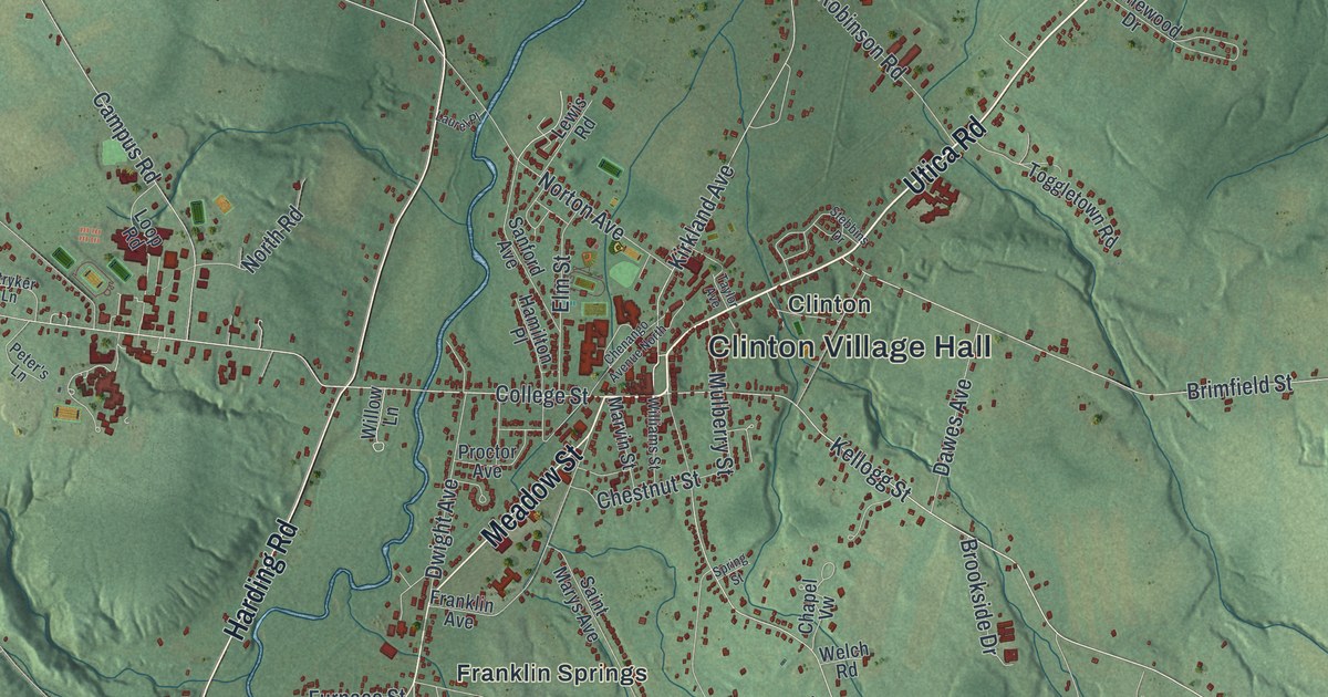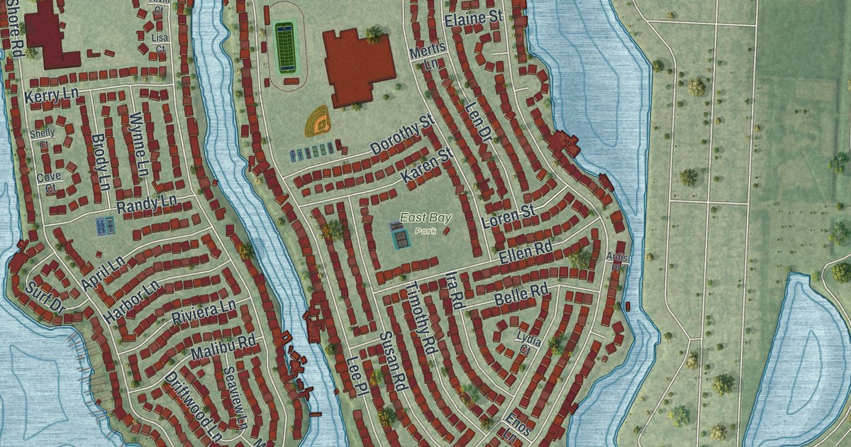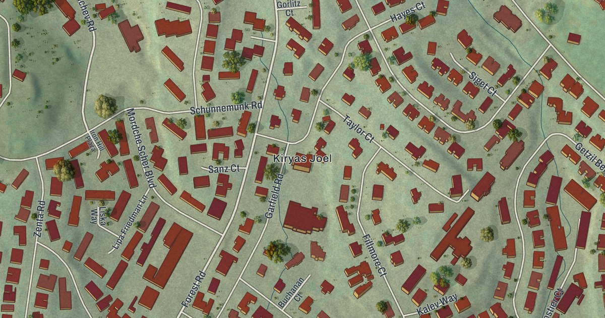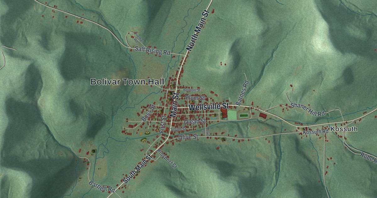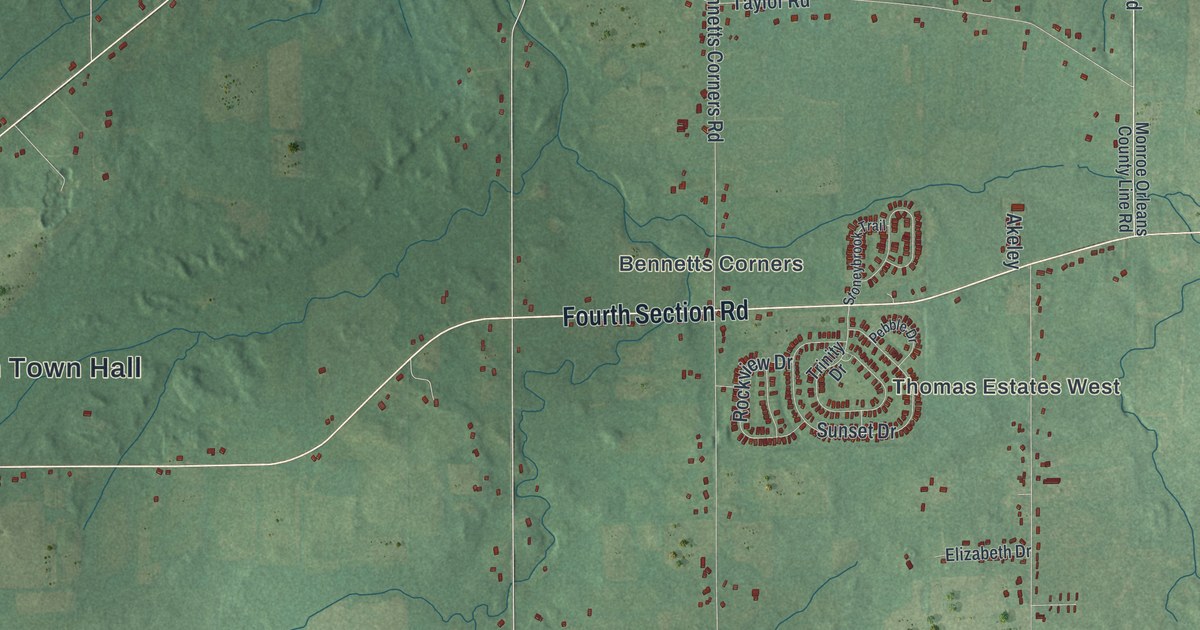
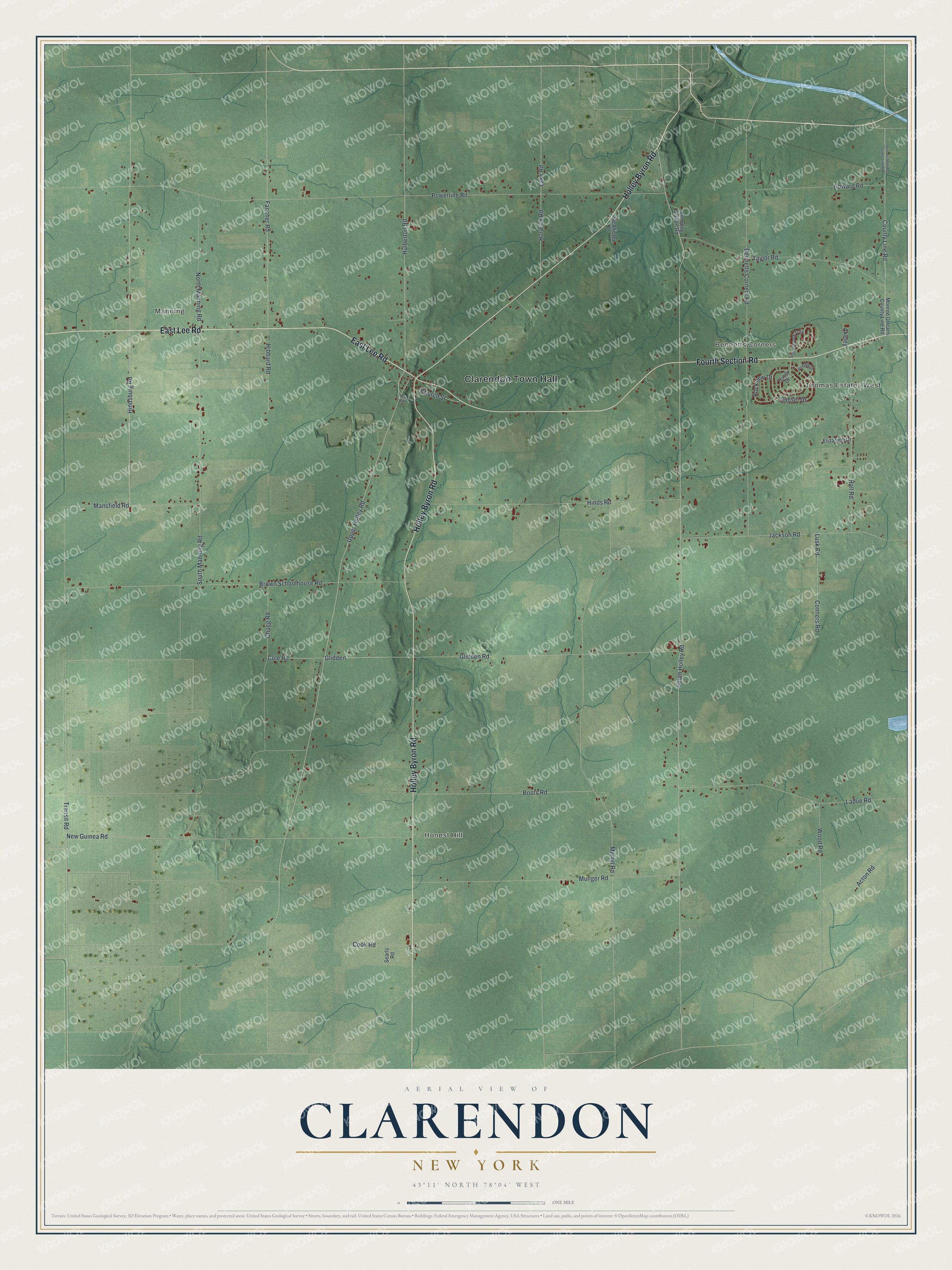
This beautifully detailed map of Clarendon, New York was created in 2026 using aerial imagery combined with modern topographical, census, street and landmark data. It’s a one-of-a-kind view of Clarendon that combines accurate data with a vintage aesthetic. The map shows every building in its true location, many of the roads carry their names, and the shaded topographic relief shows the shape of the land.
Explore an aerial view of Clarendon, New York
On the map you’ll find Clarendon Town Hall, Manning, Bennetts Corners, and Honest Hill, along with Lee Road, Holley Byron Road, Fourth Section Road, Upper Holley Road, and more. If you look closely you can even find your house accurately drawn in its correct location. Zoom in on the preview to look for yours.
Did You Know?
Clarendon borrowed its name from Clarendon, Vermont. The settlement was first known as Farwell’s Mills, after a Farwell who was among its first settlers. The town was carved from Sweden in 1820, before Orleans County existed. Clarendon was once known for its quarries and cement plants.
Take a closer look at the Clarendon map
Names on this map
These names are printed on this map.
Places: Clarendon Town Hall, Thomas Estates West, Manning, Bennetts Corners and Honest Hill.
Streets and roads: East Lee Road, Holley Byron Road, Fourth Section Road, County Line Road, Upper Holley Road, Transit Road, South Holley Road, Hibbard Road, Powerline Road, Merrill Road, Glidden Road, Bennetts Corners Road.
More street names, A to Z
Acton Road, Akeley, Boots Road, Brown Schoolhouse Road, Chugg Road, Church Street, Cole Road, Conners Road, Cook Road, Elizabeth Drive, Fancher Road, Glidden, Hall Road, Hindsburg Road, Hinds Road, Horwick Road, Howard Road, Hulberton Road, Jackson Road, Ladue Road, Lake Road, Lusk Road, Mansfield Road, McAllister Drive, Mill Road, Monroe Orleans County Line Road, Munger Road, New Guinea Road, North Manning Road, Orleans Monroe County Line Road, Pebble Drive, Pumping Station Road, Rockview Drive, Searls Road, South Manning Road, Stoneybrook Trail, Sunset Drive, Taylor Road, Trinity Drive, Wood Road.
See it on a wall
The Clarendon map as a framed print. Swipe for more.


This beautifully detailed map of Clarendon makes an attractive addition to your office, library, or den, and it can even be used to teach children the geography and history of the area. It also makes a great gift for anyone with Clarendon roots. When you’re done exploring, click here to get your copy of the Clarendon map.