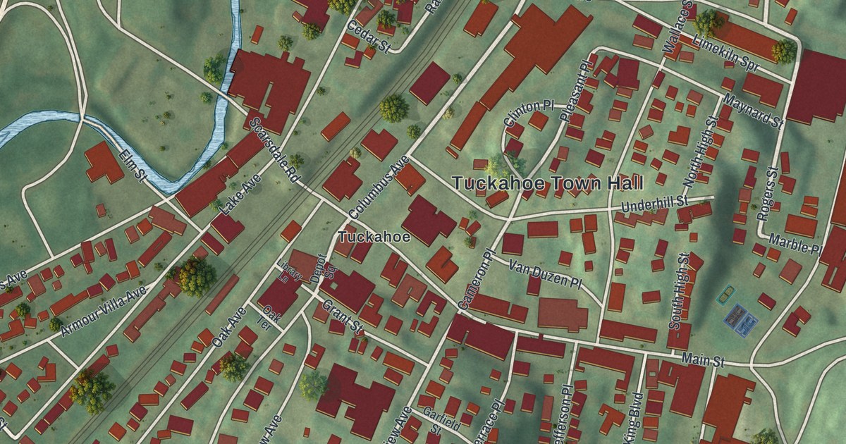
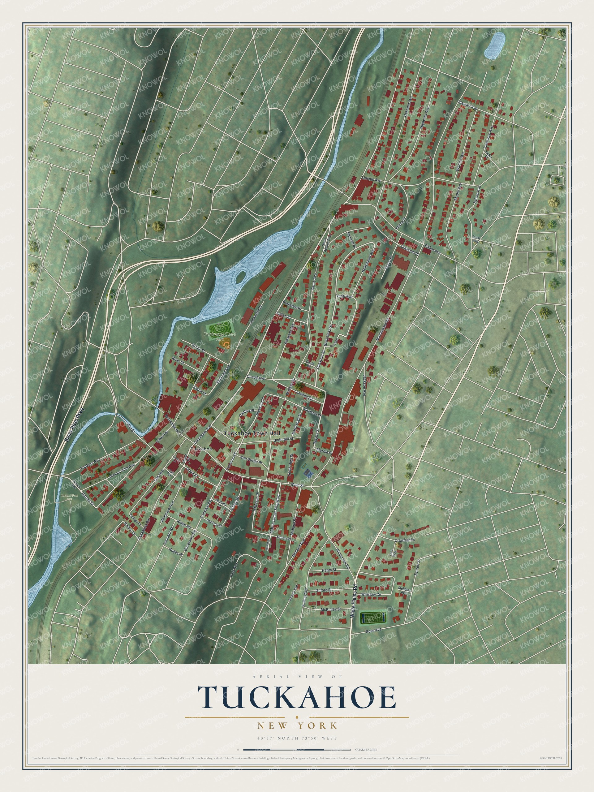
This beautifully detailed map of Tuckahoe, New York was created in 2026 using aerial imagery combined with modern topographical, census, street and landmark data. It’s a one-of-a-kind view of Tuckahoe that combines accurate data with a vintage aesthetic. The map shows every building in its true location, many of the roads carry their names, and the shaded topographic relief shows the shape of the land.
Explore an aerial view of Tuckahoe, New York
On the map you’ll find Tuckahoe Town Hall, Parkway Oval Park, and Bronx River Park, along with Bronx River Parkway, White Plains Road, Columbus Avenue, Chestnut Street, and more. If you look closely you can even find your house accurately drawn in its correct location. Zoom in on the preview to look for yours.
Did You Know?
Scottish businessman Alexander Masterson found rich white marble near the Bronx River and opened the first quarry in 1812. Tuckahoe Marble was soon in great demand, and the quiet village became known as the marble capital of the world. The quarries worked for almost a century until the supply ran low.
Take a closer look at the Tuckahoe map
Names on this map
These names are printed on this map.
Places: Tuckahoe Town Hall, Parkway Oval Park, Bronx River Park and Tuckahoe.
Streets and roads: Bronx River Parkway, White Plains Road, Columbus Avenue, Chestnut Street, Rogers Street, Garrett Street, Pleasant Place, Railroad Avenue, Cameron Place, Bella Vista Street, Westview Avenue, Fairview Avenue.
More street names, A to Z
Alpine Place, Armour Villa Avenue, Bronx Street, Cedar Place, Cedar Street, Circle Road, Circuit Avenue, Clinton Place, Consulate Drive, Coolidge Street, Cottage Place, Crawford Drive, Crescent Place, Crest Avenue, Dante Avenue, Dante Avenue Rmp, Depot Square, Elm Street, Everett Street, Fisher Avenue, Fulling Avenue, Fulton Street, Garfield Street, Garrett Avenue, Gifford Street, Governors Road, Grant Street, Harrison Street, Henry Street, Highview Avenue, Hollywood Avenue, Huges Place, Jackson Avenue, Jefferson Place, Lake Avenue, Lawrence Avenue, Leonard Road, Library Lane, Limekiln Spr, Lincoln Avenue, Main Street, Maple Avenue, Marbledale Road, Marble Place, Martin Luther King Boulevard, Maynard Street, McKinley Street, Midland Avenue, Midland Place, Minturn Road, Monroe Street, North High Street, Oak Avenue, Oakland Avenue, Oak Terrace, Park Avenue, Parkview Place, Pleasant Avenue, Ridge Road, River Street, Rose Avenue, Sagamore Road, Scarsdale Road, South High Street, Stebbins Avenue, Stewart Avenue, Summit Avenue, Sylvan Avenue, Tara Way, Terrace Place, Underhill Street, Union Place, Van Duzen Place, Verdi Avenue, Wallace Street, Warren Avenue, Washington Street, Winslow Circle, Winter Hill Road, Yonkers Avenue, Young Place.
See it on a wall
The Tuckahoe map as a framed print. Swipe for more.


This beautifully detailed map of Tuckahoe makes an attractive addition to your office, library, or den, and it can even be used to teach children the geography and history of the area. It also makes a great gift for anyone with Tuckahoe roots. When you’re done exploring, click here to get your copy of the Tuckahoe map.