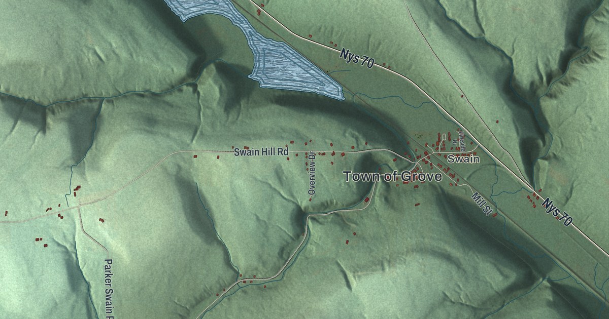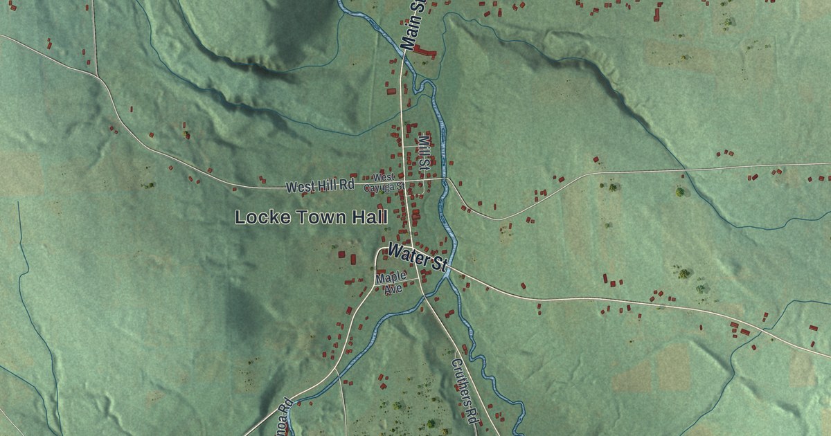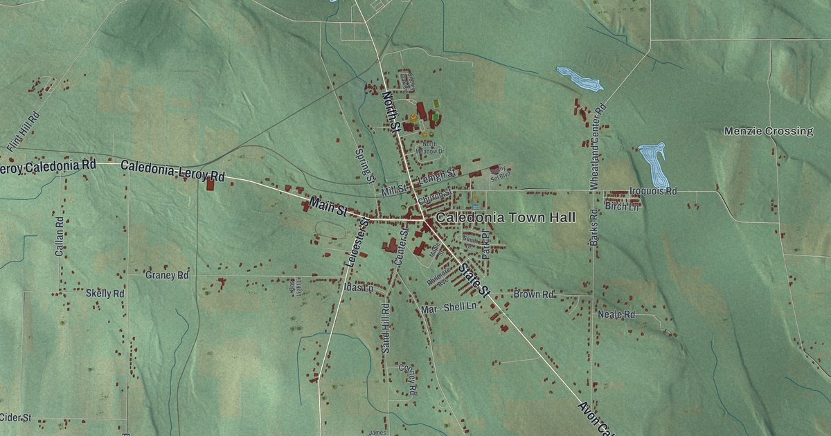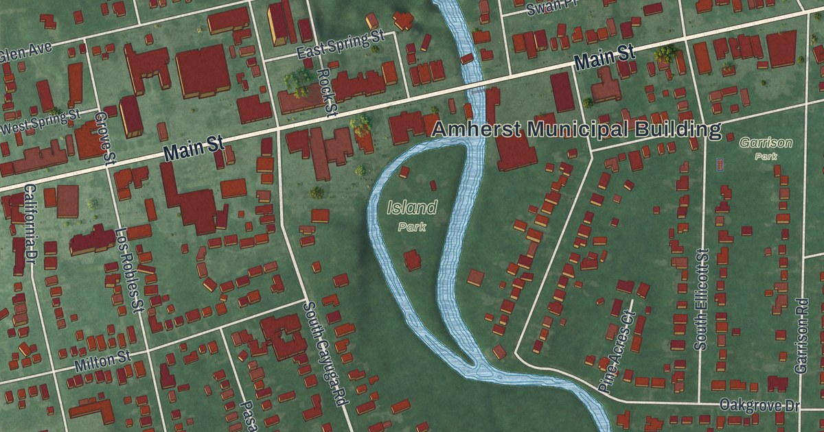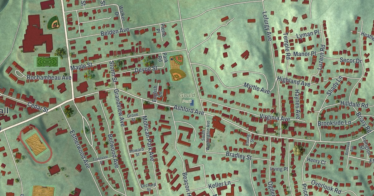
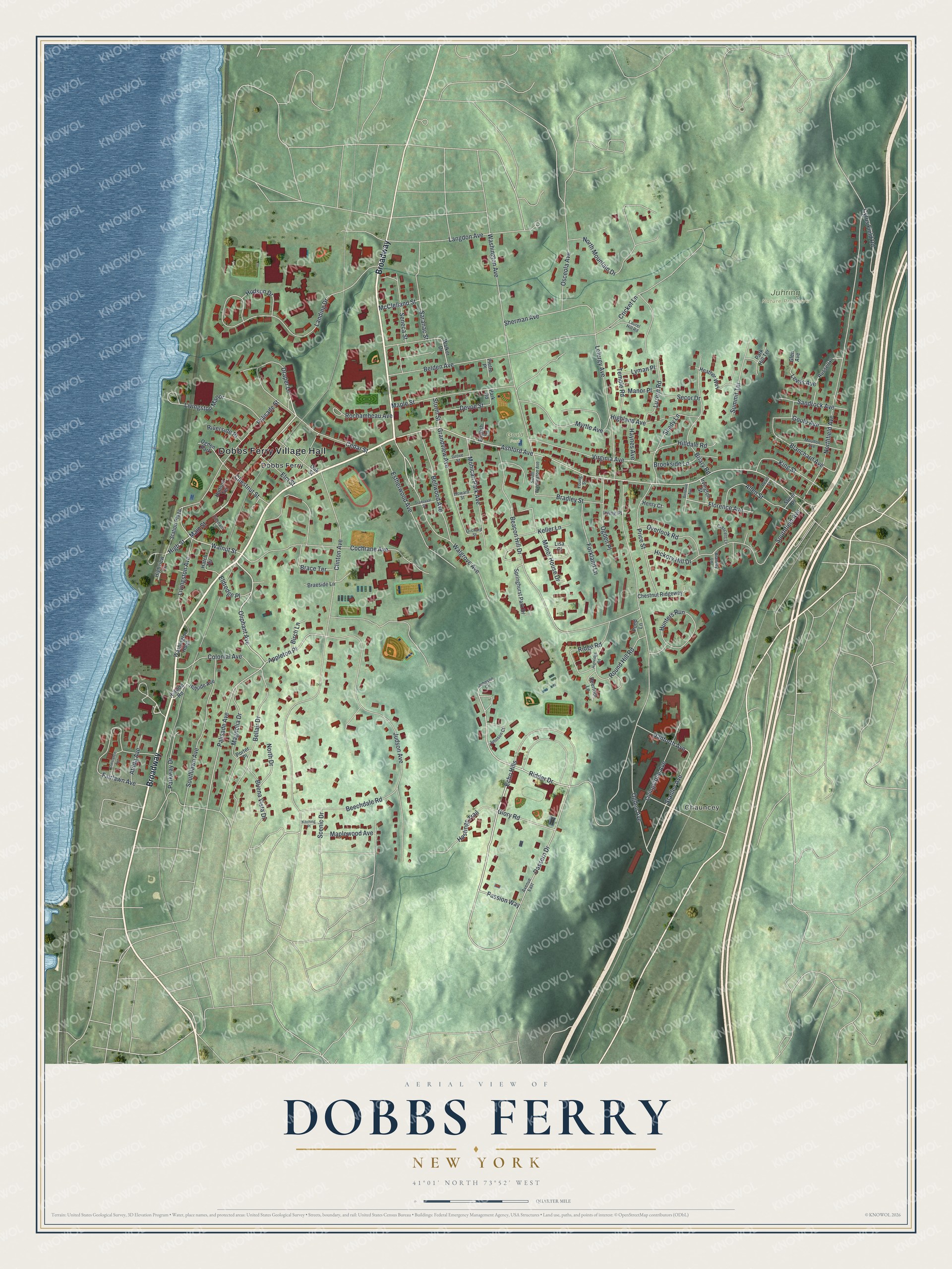
This beautifully detailed map of Dobbs Ferry, New York was created in 2026 using aerial imagery combined with modern topographical, census, street and landmark data. It’s a one-of-a-kind view of Dobbs Ferry that combines accurate data with a vintage aesthetic. The map shows every building in its true location, many of the roads carry their names, and the shaded topographic relief shows the shape of the land.
Explore an aerial view of Dobbs Ferry, New York
On the map you’ll find Dobbs Ferry Village Hall, Chauncey, Juhring Nature Preserve, and Gould Park, along with Main Street, Magnolia Drive, Oliphant Avenue, High Street, and more. If you look closely you can even find your house accurately drawn in its correct location. Zoom in on the preview to look for yours.
Did You Know?
The village is named for a river crossing service the Dobbs family began in the early 1700s. John Dobbs leased the waterfront here in 1698. The spot was ideal for a ferry, since it was the first place north of the city where the Palisades did not block the west bank.
Take a closer look at the Dobbs Ferry map
Names on this map
These names are printed on this map.
Places: Dobbs Ferry Village Hall, Chauncey, Juhring Nature Preserve, Gould Park, Dobbs Ferry and Ogden Park.
Streets and roads: Broadway, Main Street, Magnolia Drive, Oliphant Avenue, High Street, Dassern Drive, Draper Lane, Ridder Drive, Ashford Avenue, Walgrove Avenue, Florence Avenue, Walnut Street.
More street names, A to Z
Allen Street, Appleton Place, Atilda Avenue, Avenue East, Beacon Hill Drive, Beechdale Road, Belden Avenue, Bellair Drive, Bellevue Avenue, Bellwood Avenue, Birch Lane, Blanchard Avenue, Brace Terrace, Bradley Street, Braeside Lane, Bramley Lane, Briary Road, Brookside Lane, Buena Vista Drive, Cedar Street, Chestnut Ridgeway, Chestnut Street, Clinton Avenue, Cochrane Avenue, Colonial Avenue, Constance Avenue, Crescent Lane, Cricket Lane, Cyrus Field Road, Danforth Avenue, Deerfoot Lane, Devoe Street, Echo Hills, Eldredge Place, Elm Street, English Lane, Estherwood Avenue, Fairlawn Avenue, Forkland Lane, Glen Avenue, Glory Road, Gould Avenue, Grandview Avenue, Grove Street, Hastings Trail, Hatch Terrace, Haynes Avenue, Heather Way, Henry Court, Hickory Hill Drive, Highland Avenue, Highridge Road, Highview Circle, Hilldale Road, Hillside Avenue, Hillside Road, Howard Street, Hudson Drive, Hudson Terrace, Hunters Run, Irving Place, Irvington Street, Johnson Circle, Johnson Court, Judson Avenue, Keller Lane, King Street, Kitching Place, Landing Drive, Langdon Avenue, Laurel Hill Road, Lefurgy Avenue, Lewis Avenue, Lisa Court, Livingston Avenue, Livingstone Avenue, Livingston Manor, Luzern Road, Lyman Place, Manor House Drive, Manor Place, Maple Street, Maplewood Avenue, McClelland Street, Mohican Park Avenue, Moulton Avenue, Myrtle Avenue, North Drive, Northfield Avenue, North Mountain Drive, Oak Street, Ogden Avenue, Ogden Place, Orchard Street, Osceola Avenue, Overlook Road, Palisade Avenue, Palisade Street, Park Hill Terrace, Park Road, Parkway Drive, Passion Way, Pearl Street, Pietro Place, Pond Lane, Porter Place, Price Street, Ridge Road, Riverside Place, Rochambeau Avenue, Round Hill Road, Russell Place, Sandrock Avenue, Saranac Street, Scenic Drive, Secor Drive, Seneca Street, Shady Lane, Sherman Avenue, Southfield Avenue, Southlawn Avenue, South Washington Avenue, Springhurst Park Drive, Stanley Avenue, Station Plaza, Stiner Place, Storm Street, Summit Terrace, Temple Road, Tiernans Lane, Transvaal Street, Virginia Avenue, Walker Drive, Washington Avenue, Washington Hdqs, Young Street.
See it on a wall
The Dobbs Ferry map as a framed print. Swipe for more.


This beautifully detailed map of Dobbs Ferry makes an attractive addition to your office, library, or den, and it can even be used to teach children the geography and history of the area. It also makes a great gift for anyone who grew up in Dobbs Ferry or moved away. When you’re done exploring, click here to get your copy of the Dobbs Ferry map.