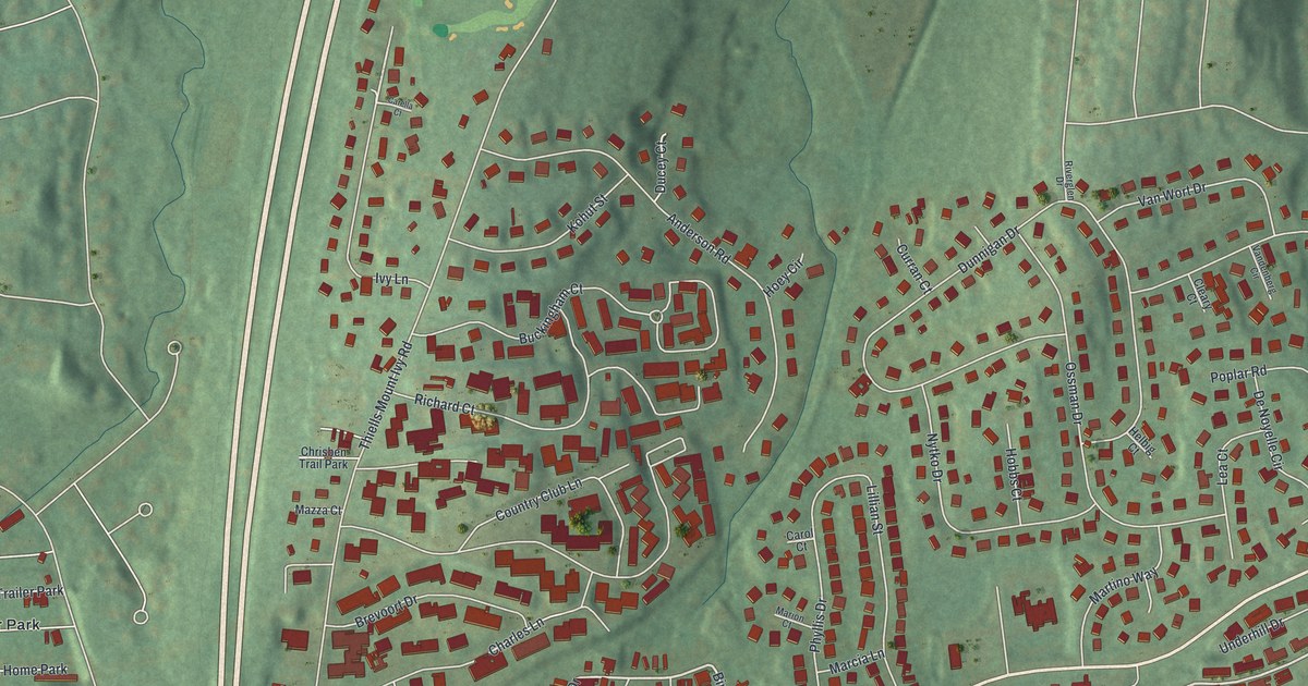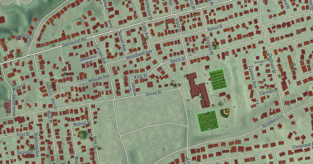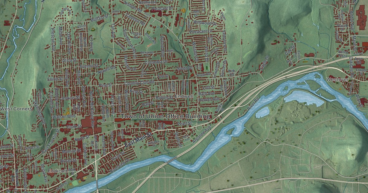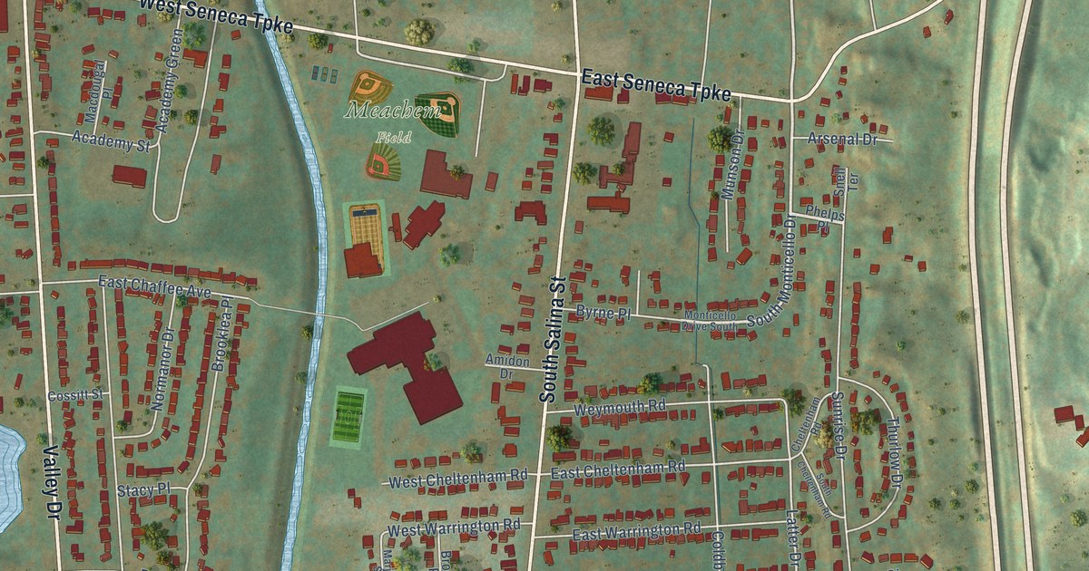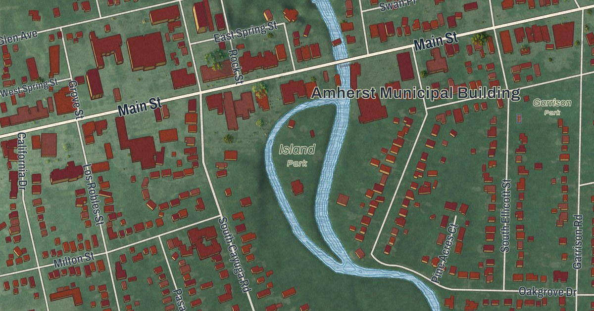
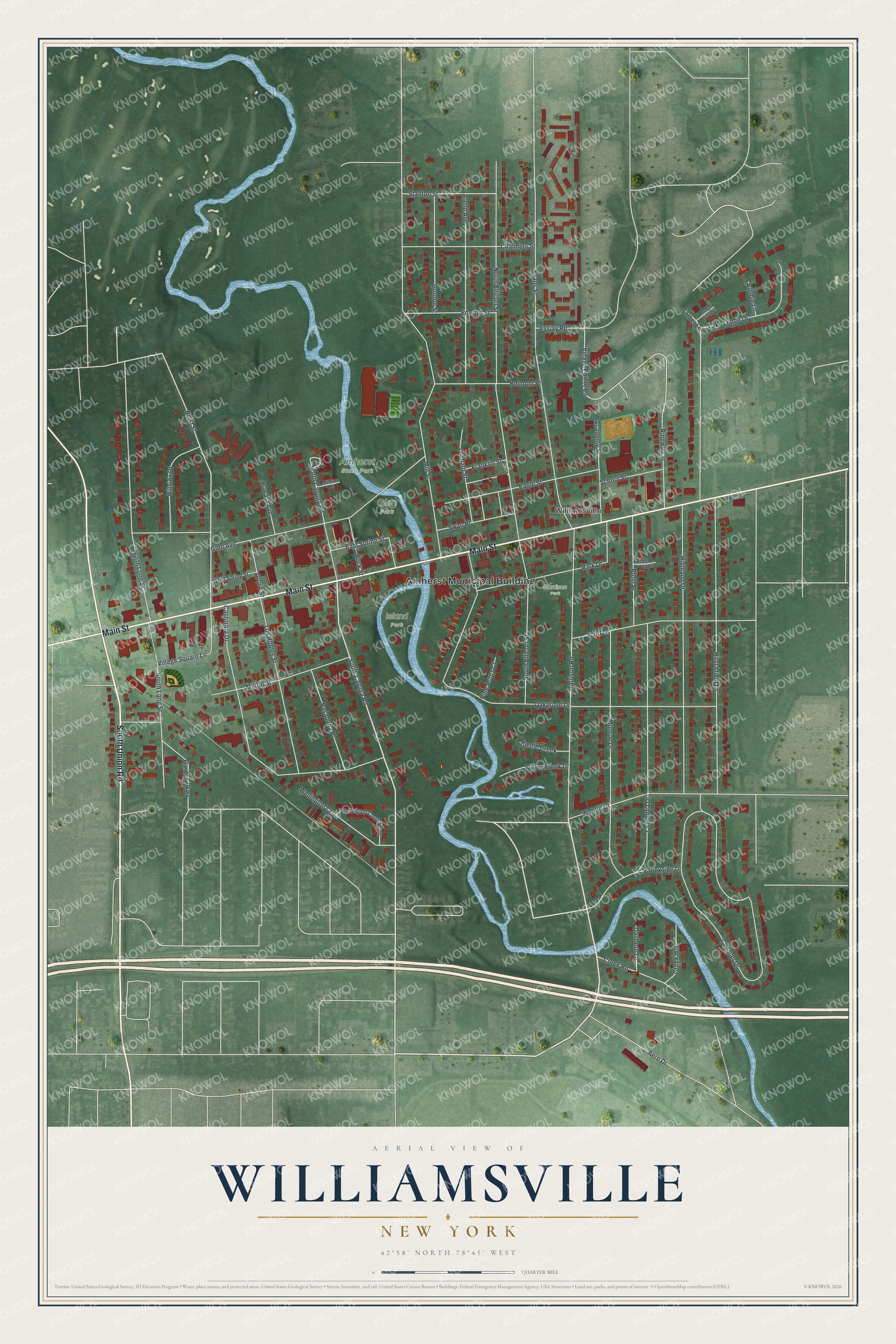
This beautifully detailed map of Williamsville, New York was created in 2026 using aerial imagery combined with modern topographical, census, street and landmark data. It’s a one-of-a-kind view of Williamsville that combines accurate data with a vintage aesthetic. The map shows every building in its true location, many of the roads carry their names, and the shaded topographic relief shows the shape of the land.
Explore an aerial view of Williamsville, New York
On the map you’ll find Amherst Municipal Building, Glen Park, Amherst State Park, Island Park, and Garrison Park, along with Union Road, Main Street, Wehrle Drive, Cayuga Road, and more. If you look closely you can even find your house accurately drawn in its correct location. Zoom in on the preview to look for yours.
Did You Know?
Jonas Williams built the first mill here in 1811, where the Buffalo road crossed Ellicott Creek above Glen Falls. The settlement was first called Williams Mills, and the village still carries his name. That building stands beside Glen Park today as the Williamsville Water Mill.
Take a closer look at the Williamsville map
Names on this map
These names are printed on this map.
Places: Amherst Municipal Building, Glen Park, Amherst State Park, Island Park, Garrison Park and Williamsville.
Streets and roads: South Union Road, Main Street, Wehrle Drive, South Cayuga Road, Village Pointe Lane, Reist Street, North Ellicott Street, Cadman Drive, Evans Street, Mill Street, Oakgrove Drive, Glen Avenue.
More street names, A to Z
Academy Street, Aero Drive, Arend Avenue, Belmont Place, Bobbie Lane, Brookside Drive, California Drive, Castle Creek, Chalmers Street, Columbia Drive, Creek Heights, Creek Road, Danbern Lane, Eagle Street, East Spring Street, Edward Street, Essjay Road, Farber Lane, Franklin Street, Garden Parkway, Garrison Road, Gordon Street, Grove Street, Highland Drive, Hillside Drive, Hirschfield Drive, Howard Avenue, Lake Ledge Drive, Ledge View Terrace, Los Robles Street, Millrace Court, Milton Street, Monroe Drive, North Cayuga Road, North Long Street, Orchard Street, Park Drive, Pasadena Place, Pfohl Place, Pfohl Terrace, Pine Acres Court, Rinewalt Street, Rock Street, School Street, Scott Drive, South Ellicott Street, South Long Street, Stanton Street, Swan Place, Village Square Lane, Wellington Court, Wellington Court North, West Spring Street, Willowbrook Drive.
See it on a wall
The Williamsville map as a framed print. Swipe for more.


This beautifully detailed map of Williamsville makes an attractive addition to your office, library, or den, and it can even be used to teach children the geography and history of the area. It also makes a great gift for anyone who grew up in Williamsville or moved away. When you’re done exploring, click here to get your copy of the Williamsville map.