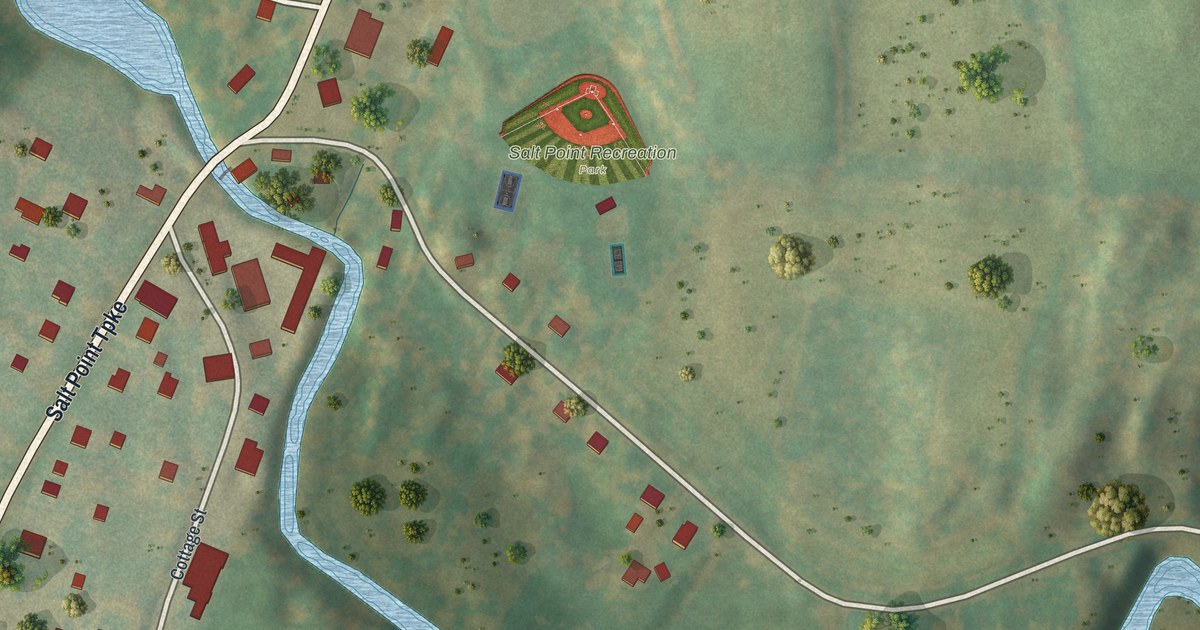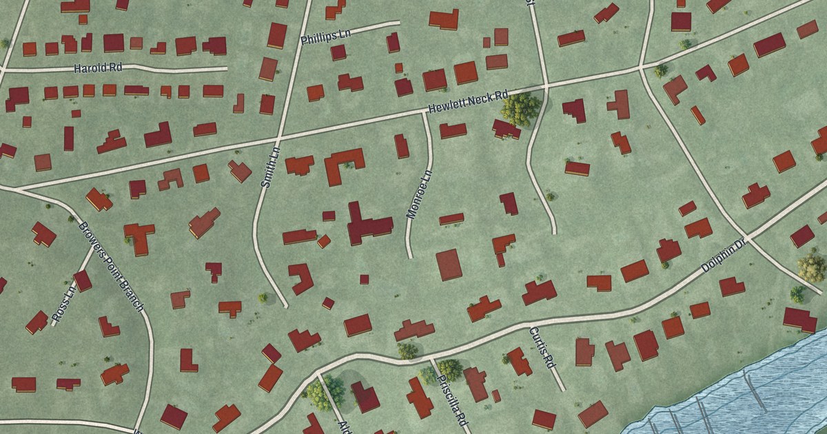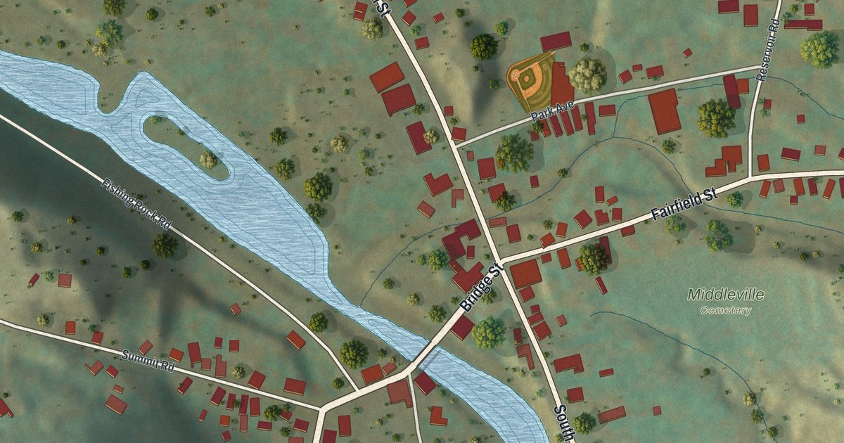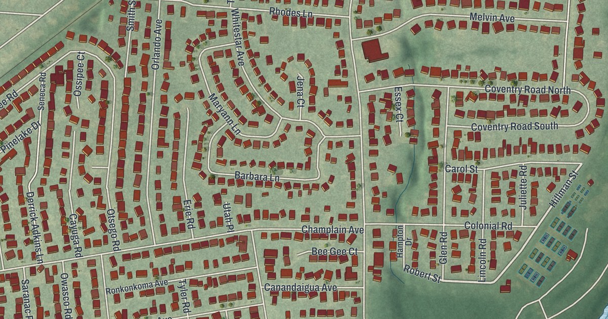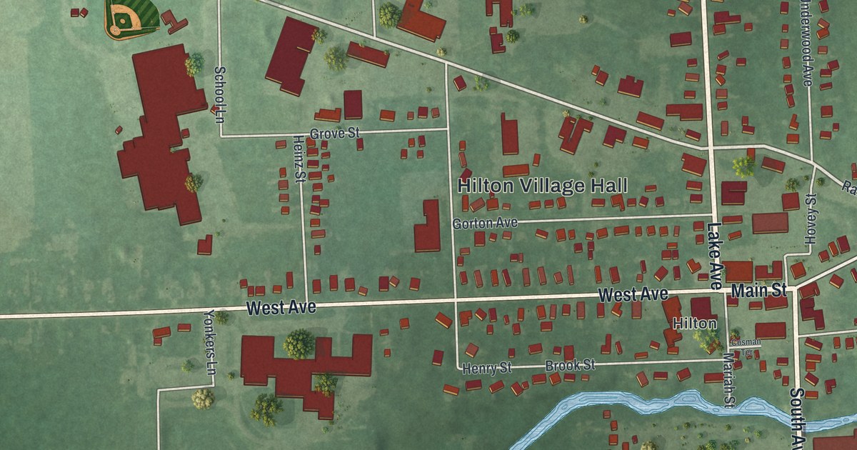
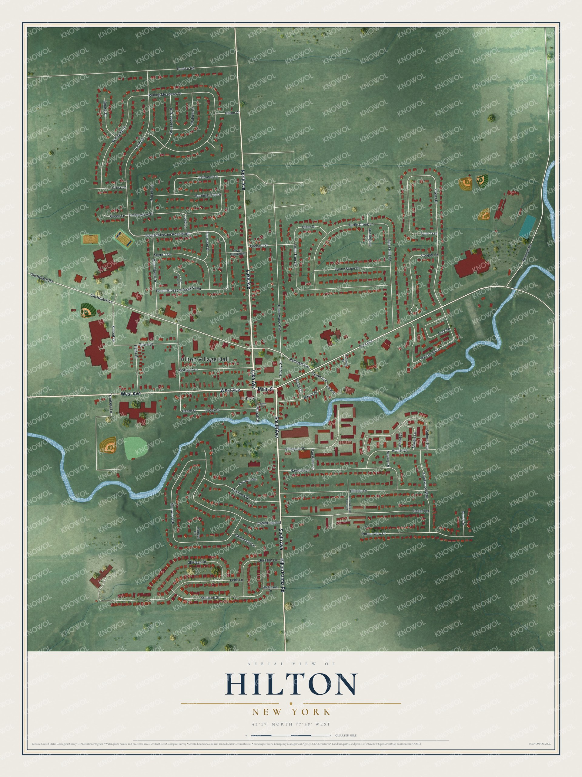
This beautifully detailed map of Hilton, New York was created in 2026 using aerial imagery combined with modern topographical, census, street and landmark data. It’s a one-of-a-kind view of Hilton that combines accurate data with a vintage aesthetic. The map shows every building in its true location, many of the roads carry their names, and the shaded topographic relief shows the shape of the land.
Explore an aerial view of Hilton, New York
On the map you’ll find Hilton Village Hall, along with Main Street, Lake Avenue, South Avenue, West Avenue, and more. If you look closely you can even find your house accurately drawn in its correct location. Zoom in on the preview to look for yours.
Did You Know?
Jonathon Underwood came from Vermont in 1805 and was the first settler here. The place was first called Unionville and became the village of North Parma in 1885. In 1896 it was renamed Hilton for Reverend Charles Augustus Hilton. He had once served as pastor of the village Freewill Baptist Church.
Take a closer look at the Hilton map
Names on this map
These names are printed on this map.
Places: Hilton Village Hall and Hilton.
Streets and roads: Main Street, Lake Avenue, South Avenue, West Avenue, Hilton Parma Road, North Avenue, Peach Blossom Road North, Upton Avenue, Railroad Avenue, East Avenue, Old Hojack Lane, Fraser Drive.
More street names, A to Z
Albano Drive, Applewood Way, Archer Drive, Atchinson Drive, Bennett Road, Bernie Whelehan Road North, Brook Street, Burning Tree Drive, Cambridge Road, Canning Street, Carter Drive, Cedar Terrace, Centennial Lane, Cooper Drive, Cosman Terrace, Cross Lane, Doud Circle, Dunbar Road, Efner Drive, Fairwood Drive, Gorton Avenue, Green Lane, Grove Street, Gursslin Lane, Hale Haven Drive, Hamden Circle, Hazen Street, Heinz Street, Henry Street, Hillside Drive, Hilton Drive, Hovey Street, Klafehn Drive, Leith Lane, Little Tree Lane, Lloyd Lane, Mariah Street, Marple Lane, Mockingbird Lane, Newcomb Drive, Old Hojack Road, Orchard Street, Overlook Drive, Panarites Lane, Park Square, Parkwood Lane, Parma View Drive, Peach Blossom Circle, Peach Blossom Road South, Peach Orchard Drive, Pickett Lane, Pleasant Way, Raintree Lane, Rolling Meadows Drive, Salmon Run, Saveria Drive, School Lane, Sherwood Drive, Shirleen Drive, Short Hills Drive, Smith Street, Stothard Street, Strussenberg Drive, Sunny Slope Drive, Tallwood Drive, Timberwood Drive, Turtle Creek Lane, Tyler Trail, Underwood Avenue, Upton Street, Verney Drive, Village II Drive, Walnut Court, Yonkers Lane.
See it on a wall
The Hilton map as a framed print. Swipe for more.


This beautifully detailed map of Hilton makes an attractive addition to your office, library, or den, and it can even be used to teach children the geography and history of the area. It also makes a great gift for someone who left Hilton and still calls it home. When you’re done exploring, click here to get your copy of the Hilton map.