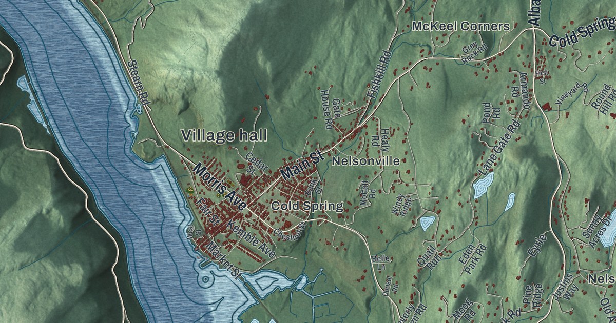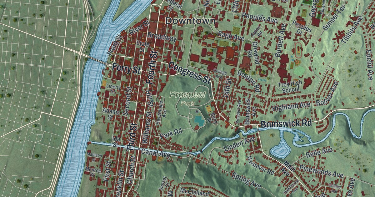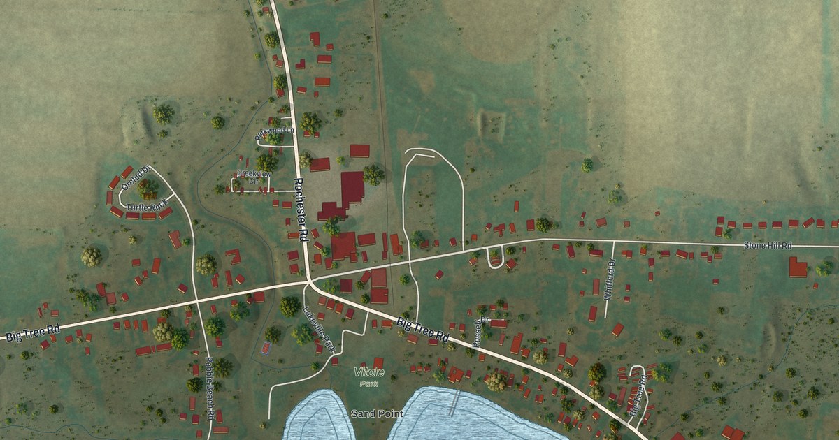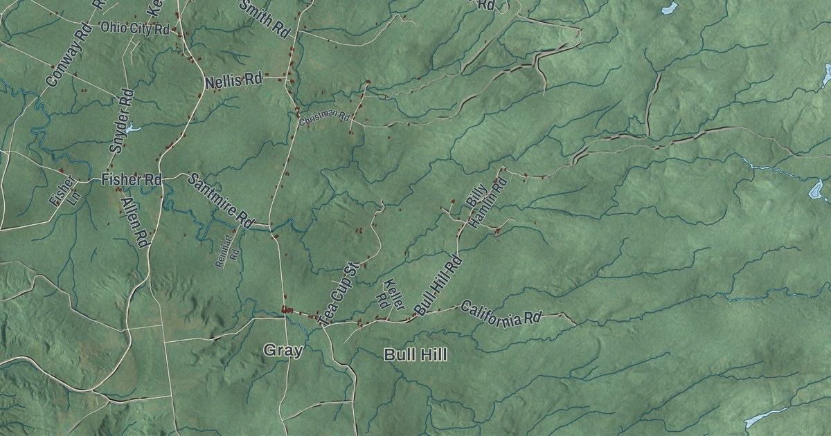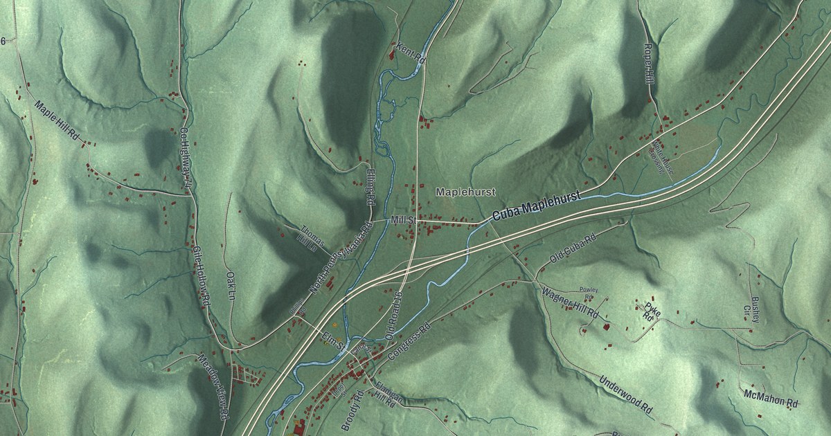
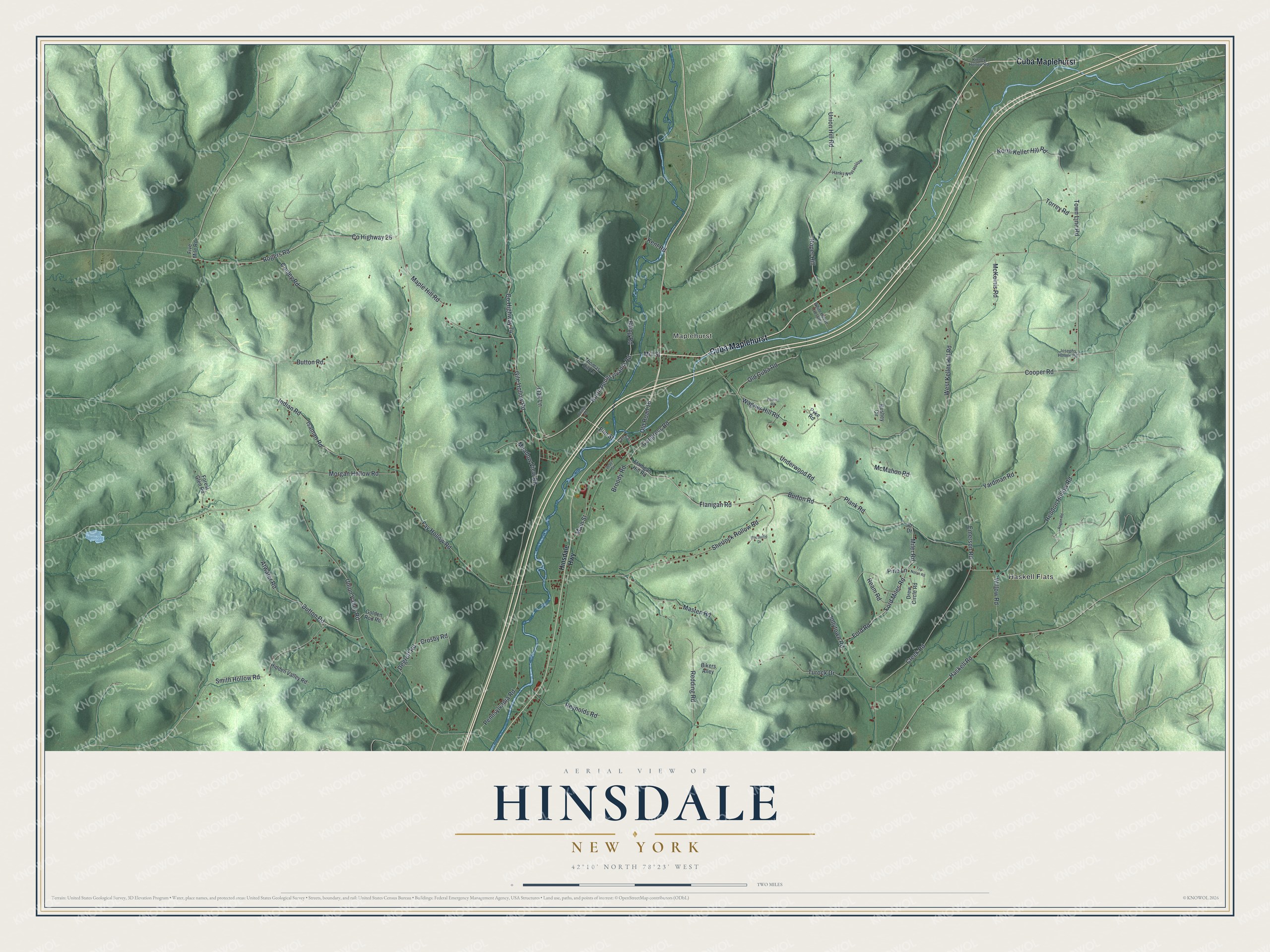
This beautifully detailed map of Hinsdale, New York was created in 2026 using aerial imagery combined with modern topographical, census, street and landmark data. It’s a one-of-a-kind view of Hinsdale that combines accurate data with a vintage aesthetic. The map shows every building in its true location, many of the roads carry their names, and the shaded topographic relief shows the shape of the land.
Explore an aerial view of Hinsdale, New York
On the map you’ll find Cuba Maplehurst, Haskell Flats, and Maplehurst, along with Hinsdale Highway, Gile Hollow Road, Maple Hill Road, Flanigan Road, and more. If you look closely you can even find your house accurately drawn in its correct location. Zoom in on the preview to look for yours.
Did You Know?
In 1820, settlers here asked to leave the town of Hamilton and call their new town Fayette. Lawmakers rejected the name and gave their Albany representative, Elial Todd Foote, one day to pick another. After a sleepless night, Foote chose Hinsdale, after the New Hampshire town where his mother was born. The town was formed on April 14, 1820.
Take a closer look at the Hinsdale map
Names on this map
These names are printed on this map.
Places: Haskell Flats and Maplehurst.
Streets and roads: Cuba Maplehurst, Gile Hollow Road, Maple Hill Road, Flanigan Road, North Pennsylvania Road, County Highway 26, Mill Street, Rogers Road, West Keller Hill Road, County Highway 74, Emerson Road, Torrey Road.
More street names, A to Z
Atwater Road, Bikers Alley, Broody Road, Burton Road, Bushey Circle, Button Road, Canal Street, Congress Road, Conley Road, Cooper Road, Creek Road, Crosby Road, Degroff Road, Depot Street, Drew Circle Road, Dutton Road, Elling Road, Elm Street, Fay Hollow Road, Five Mile Road, Flanigan Hill Road, Ford Miles Road, Ford Road, Forest Glen Road, Golden Rod Road, Hanks Nest Hollow, Haskell Road, Heddon Hollow Road, Hidden Valley Road, Hinsdale Highway, Indian Road, Isaman Road, Jollytown Road, Josephs Hollow Road, Kent Road, Kinney Hollow Road, Macduffie Drive, Main Street, Masten Road, McKeinis Road, McMahon Road, Meadow View Road, Miler Road, Morgan Hollow Road, North Keller Hill Road, Oak Lane, Old Cuba Road, Old Road 16, Pennsylvania Road, Phillips Road, Pine Lane, Plank Road, Powley Road, Pr Drive, Pyke Road, Ragen Road, Ream Road, Redding Road, Reynolds Road, Roper Hill, Sherlock Hollow Road, Smith Hollow Road, Thomas Hill Lane, Top Notch Road, Town Line Road, Turock Drive, Underwood Road, Union Hill Road, Union Valley Road, Wagner Hill Road, White House Crossing, Willow Road, Yardman Road.
See it on a wall
The Hinsdale map as a framed print. Swipe for more.


This beautifully detailed map of Hinsdale makes an attractive addition to your office, library, or den, and it can even be used to teach children the geography and history of the area. It also makes a great gift for anyone who grew up in Hinsdale or moved away. When you’re done exploring, click here to get your copy of the Hinsdale map.