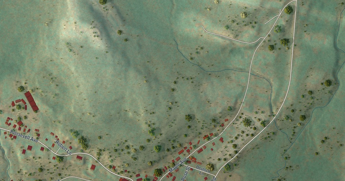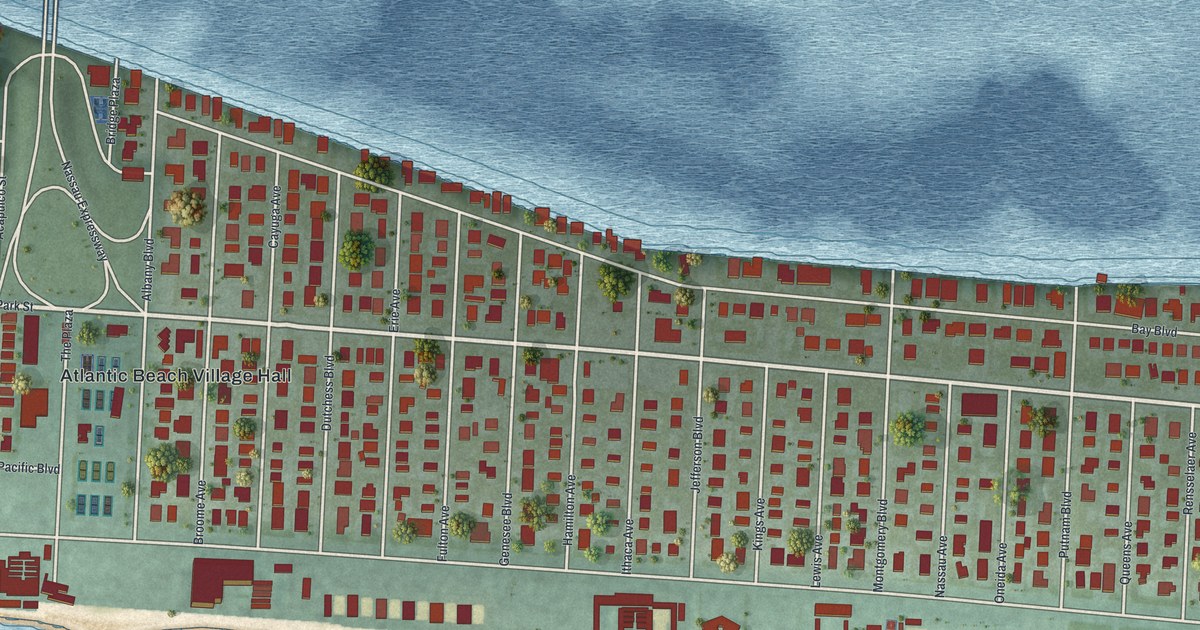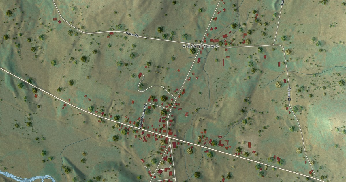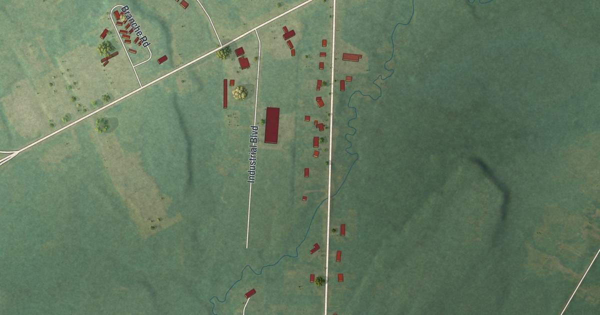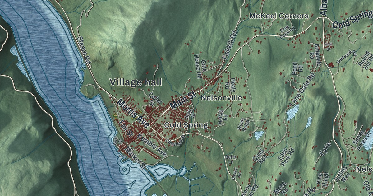
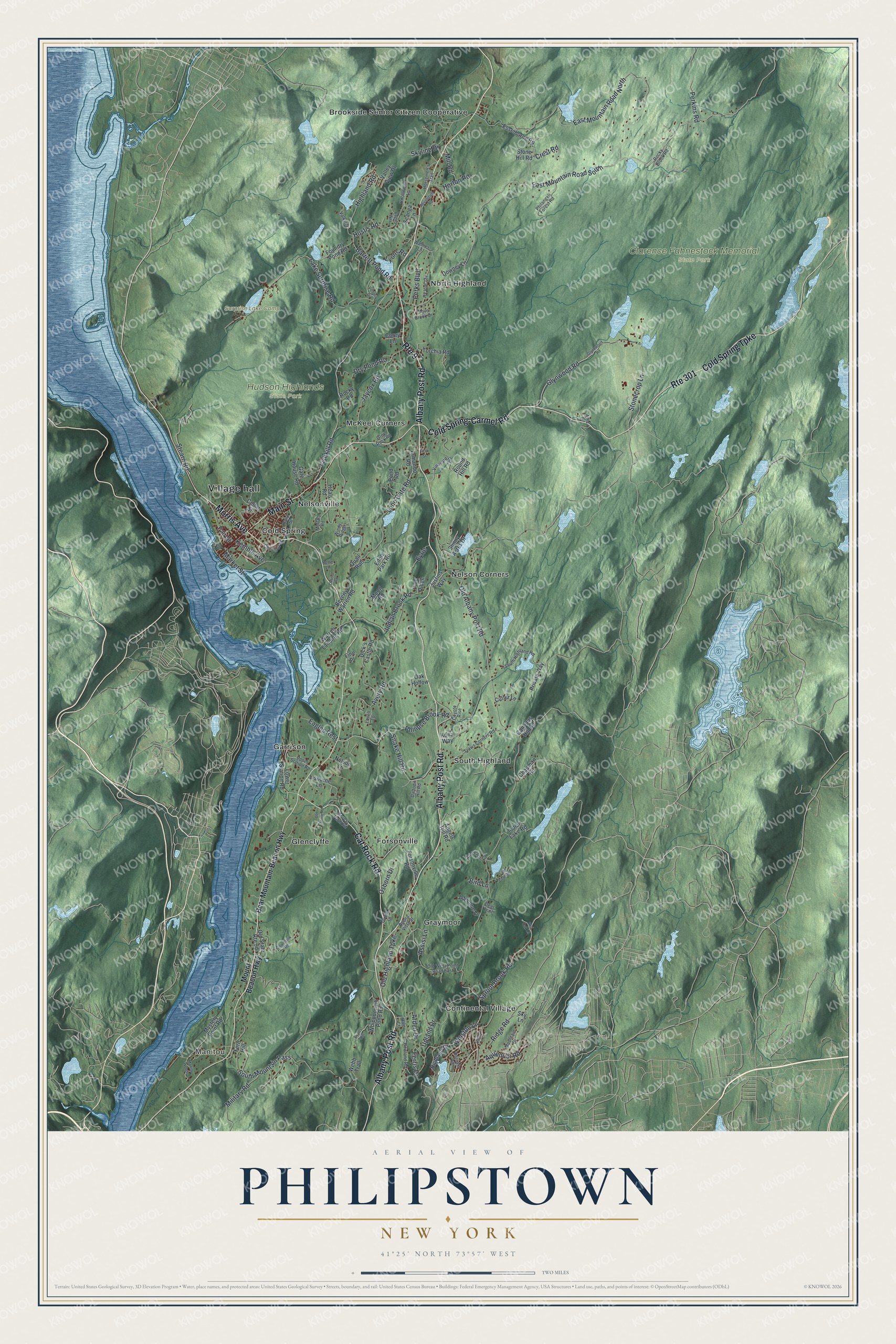
This beautifully detailed map of Philipstown, New York was created in 2026 using aerial imagery combined with modern topographical, census, street and landmark data. It’s a one-of-a-kind view of Philipstown that combines accurate data with a vintage aesthetic. The map shows every building in its true location, many of the roads carry their names, and the shaded topographic relief shows the shape of the land.
Explore an aerial view of Philipstown, New York
On the map you’ll find Village hall, Manitou, Brookside Senior Citizen Cooperative, Cold Spring, Continental Village, Forsonville, Clarence Fahnestock Memorial State Park, and Hudson Highlands State Park, along with Albany Post Road, Cold Spring-Carmel Road, Cold Spring Turnpike, Cat Rock Road, and more. If you look closely you can even find your house accurately drawn in its correct location. Zoom in on the preview to look for yours.
Did You Know?
In 1697 the wealthy merchant Adolphus Philipse bought a huge tract later called the Highland Patent. It covered about 250 square miles along the east bank of the Hudson. Settlers reached its western edge around 1715. In 1788 Philipstown became one of the three original towns of present Putnam County.
Take a closer look at the Philipstown map
Names on this map
These names are printed on this map.
Places: Village hall, Manitou, Clarence Fahnestock Memorial State Park, Hudson Highlands State Park, Surprise Lake Camp, Brookside Senior Citizen Cooperative, Cold Spring, Continental Village, Forsonville, Garrison, Glenclyffe, Graymoor, McKeel Corners, Nelson Corners, Nelsonville, North Highland and South Highland.
Streets and roads: Albany Post Road, Route 301, Cold Spring-Carmel Road, Cold Spring Turnpike, Cat Rock Road, Route 9, Main Street, Morris Avenue, Sprout Brook Road, Glynwood Road, East Mountain Road South, Old Albany Post Road.
More street names, A to Z
Adrienne Lane, Allen Lane, Angels Hill Road, Aqueduct Road, Arden Drive, Armando Road, Assisi Lane, Avery Road, Bank Street, Barrett Pond Road, Bear Mountain-Beacon Highway, Belle Lane, Beverly Warren Road, Bird Lane, Buena Vista Street, Canopus Hill Road, Cedar Street, Chapman Road, Chestnut Street, Cloudbank Road, Clove Brook Drive, Corey Lane, Coyote Rise, Crest Road, Cutler Lane, Daffodil Hill Road, Deer Trail, Dick's Castle Road, Downey Lane, Dry Pond Road, Durisol Road, Eagles Rest, Eagles Way, East Mountain Road North, Eden Park Road, Esselborne Road, Evarts Hill, Eyrie, Fair Street, Fern Hill, Ferris Drive, Fine Place, First Street, Fishkill Road, Forest Farm Road, Forsonville Road, Foundry Pond Road, Foxfire Lane, Gate House Road, Glynnwood Road, Grey Rock Road, Hale Court, Healy Road, Highland Drive, Highland Road, Horsemen's Trail, Horton Road, Howland Road, Hustis Road, Hy Vue Terrace, Indian Brook Road, Indian Lake Road, Jaycox Road, Justins Way, Kemble Avenue, Knollwood Lane, Kona Way, Lake Celeste Drive, Lake Surprise Road, Lane Gate Road, Lisburne Lane, Lovell Lane, Lower Station Road, Lyons Road, Manitou Woods, Market Street, Military Road, Mill Road, Moffatt Road, Moog Road, Mountain Drive, Mount Beacon Highway, Mystery Point Road, Nelson Lane, Oak Hollow, Old Farm Lane, Old Highland Turnpike, Old Stone Road, Old West Point Road East, Osborn Drive, Perkins Road, Perks Boulevard, Philangeli Forest Road, Philipse Brook Road, Pine Ridge, Pond Road, Private Way, Putnam Road, Quail Run, Red Oak Lane, Revolution Road, Ridge Road, Rocky Brook Road, Rocky Road, Round Hill Road, Scanga Lane, Sky Lane, Skyline Drive, Snake Hill Road, South Highland Road, South Mountain Pass, Stearn Road, Stonecrop Lane, Stone Hill Road, Sunny Acres Drive, Torchia Road, Travis Corners Road, Upland Drive, Upper Station Road, Valkyria, Valley Lane, Valley View Drive, Victoria Drive, Vineyard Road, Walmer Lane, Warren Landing Road, Webb Trail, West Street, Whippoorwill Pond Road, Windy Ridge, Winston Lane.
See it on a wall
The Philipstown map as a framed print. Swipe for more.


This beautifully detailed map of Philipstown makes an attractive addition to your office, library, or den, and it can even be used to teach children the geography and history of the area. It also makes a great gift for anyone who grew up in Philipstown or moved away. When you’re done exploring, click here to get your copy of the Philipstown map.