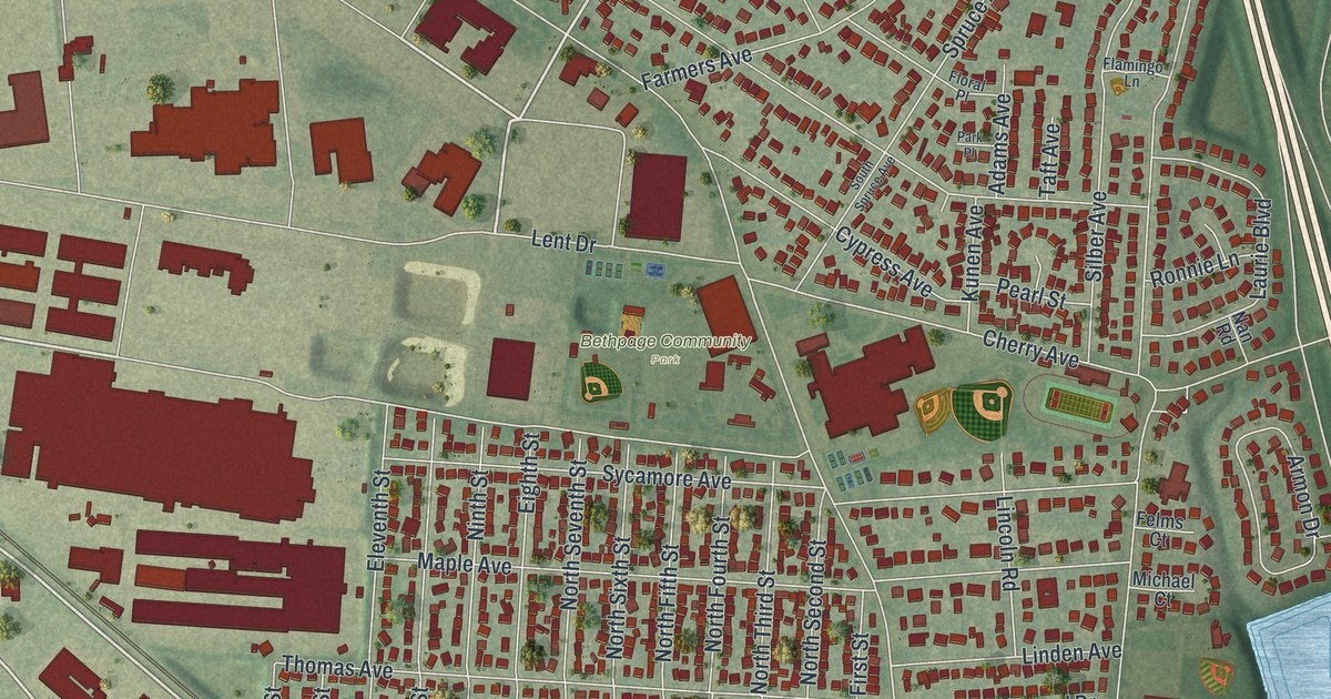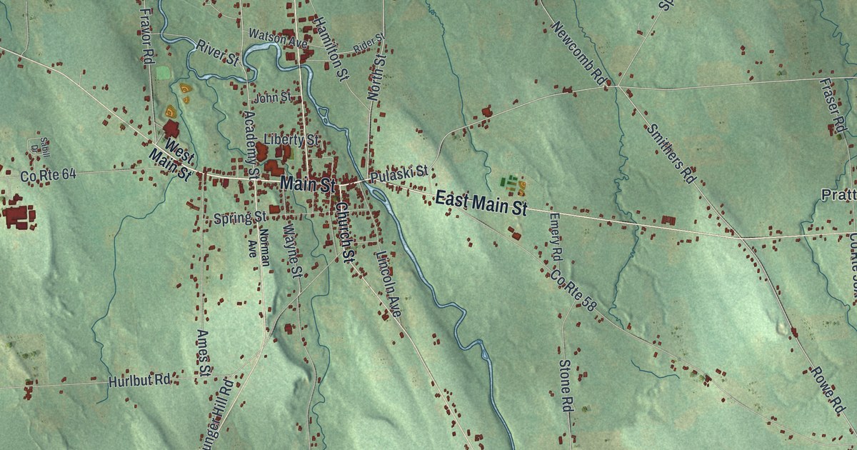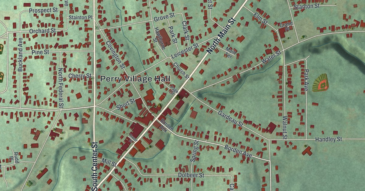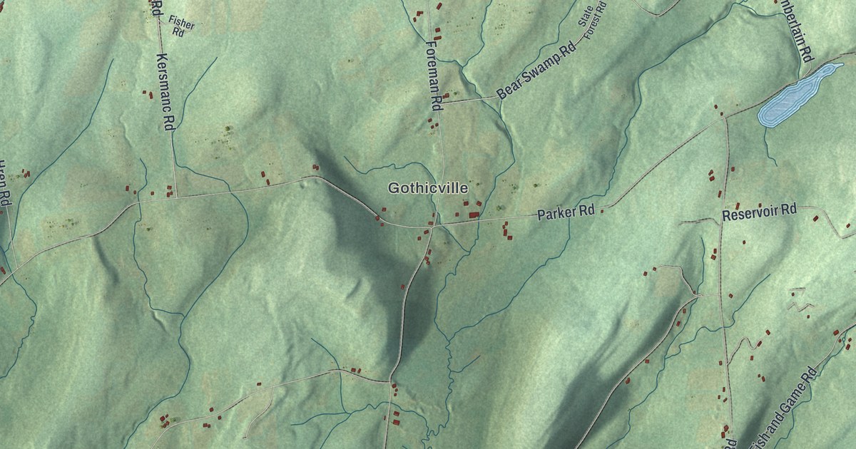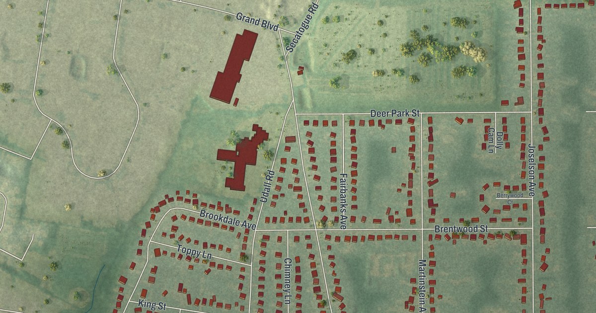
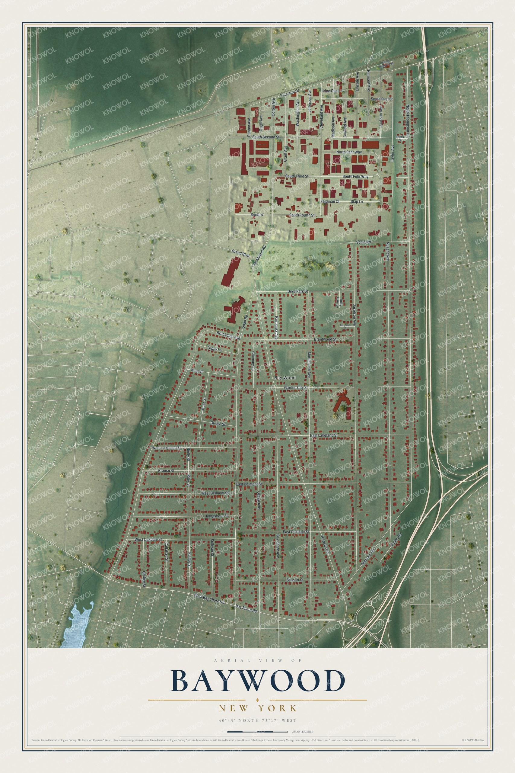
This beautifully detailed map of Baywood, New York was created in 2026 using aerial imagery combined with modern topographical, census, street and landmark data. It's a modern aerial view of Baywood in Suffolk County, New York, that combines modern data with a vintage aesthetic. The roads feature printed names, and if you look closely you can find your exact house accurately shown in its correct location.
Explore an aerial view of Baywood, New York
On this map you'll find Bay Wood, West Bay Shore Road, Bay Shore Road, South Fehr Way, North Thompson Drive, Howells Road, Joselson Avenue, Martinstein Avenue, Udall Road, Nugent Avenue, Brookdale Avenue, Bay Shore Avenue, and more. Each red shape is a building, so zoom in on the preview and look for yours.
Baywood is a community in Suffolk County. The Census Bureau counted 7,726 people here in 2020. The map prints the town name in its title panel, with the coordinates below it.
Take a closer look at the Baywood map
Names on this map
These names are printed on this map.
Places: Bay Wood.
Streets and roads: West Bay Shore Road, Bay Shore Road, South Fehr Way, North Thompson Drive, Howells Road, Joselson Avenue, Martinstein Avenue, Udall Road, Nugent Avenue, Brookdale Avenue, Bay Shore Avenue, Ocean Avenue.
More street names, A to Z
Berrywood Court, Brentwood Street, Callahan Street, Chimney Lane, Cleveland Avenue, Corbin Avenue, Deer Park Street, Dolly Cam Lane, Duke Street, Dunton Avenue, East Belmont Street, East Lakeland Street, East Oakdale Street, Fairbanks Avenue, Fallon Road, Feldman Court, Garden City Street, Garfield Avenue, Grand Boulevard, Grant Avenue, Gridley Street, Harrison Avenue, Jackson Avenue, Jefferson Avenue, King Street, Krause Street, Lincoln Avenue, Long Island Avenue, Longshore Street, Madison Avenue, Merriam Road, North Fehr Way, Orgill Avenue, Pine Aire Drive, Pine Oak Lane, Queen Street, Reilley Street, Reilly Street, Riley Street, Secatogue Road, Skip Lane, Sonia Road, South 3, South 4, South First Street, South Fourth Street, South Second Street, South Third Street, Stewart Street, Sullivan Street, Taylor Avenue, Toppy Lane, Washington Avenue, West Belmont Street, West Lakeland Street, West Oakdale Street.
See it on a wall
The Baywood map as a framed print. Swipe for more.


Created by KNOWOL in 2026. The buildings are small red shapes, the roads carry their printed names, and shaded relief shows the shape of the land. The title panel reads "AERIAL VIEW OF BAYWOOD, NEW YORK" with 40°45' NORTH 73°17' WEST.
It suits a den, a classroom or a front hall, and it makes a gift for anyone with Baywood roots. Open the preview and find the block you know. See sizes and frames for the Baywood map.