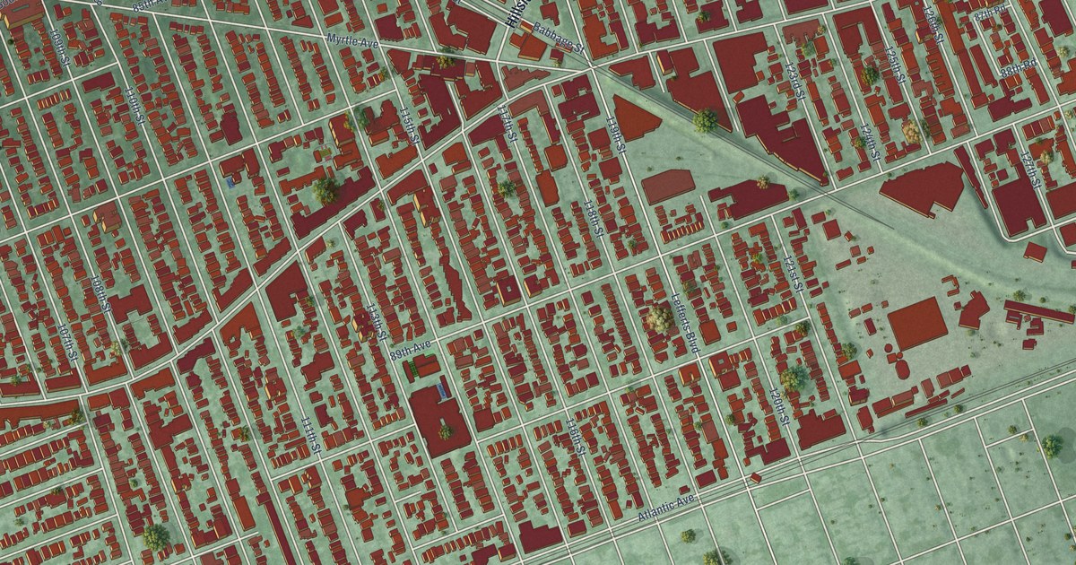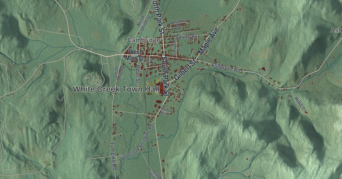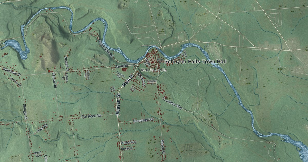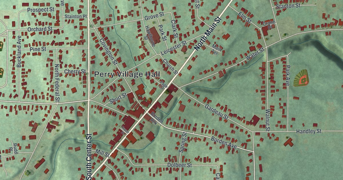
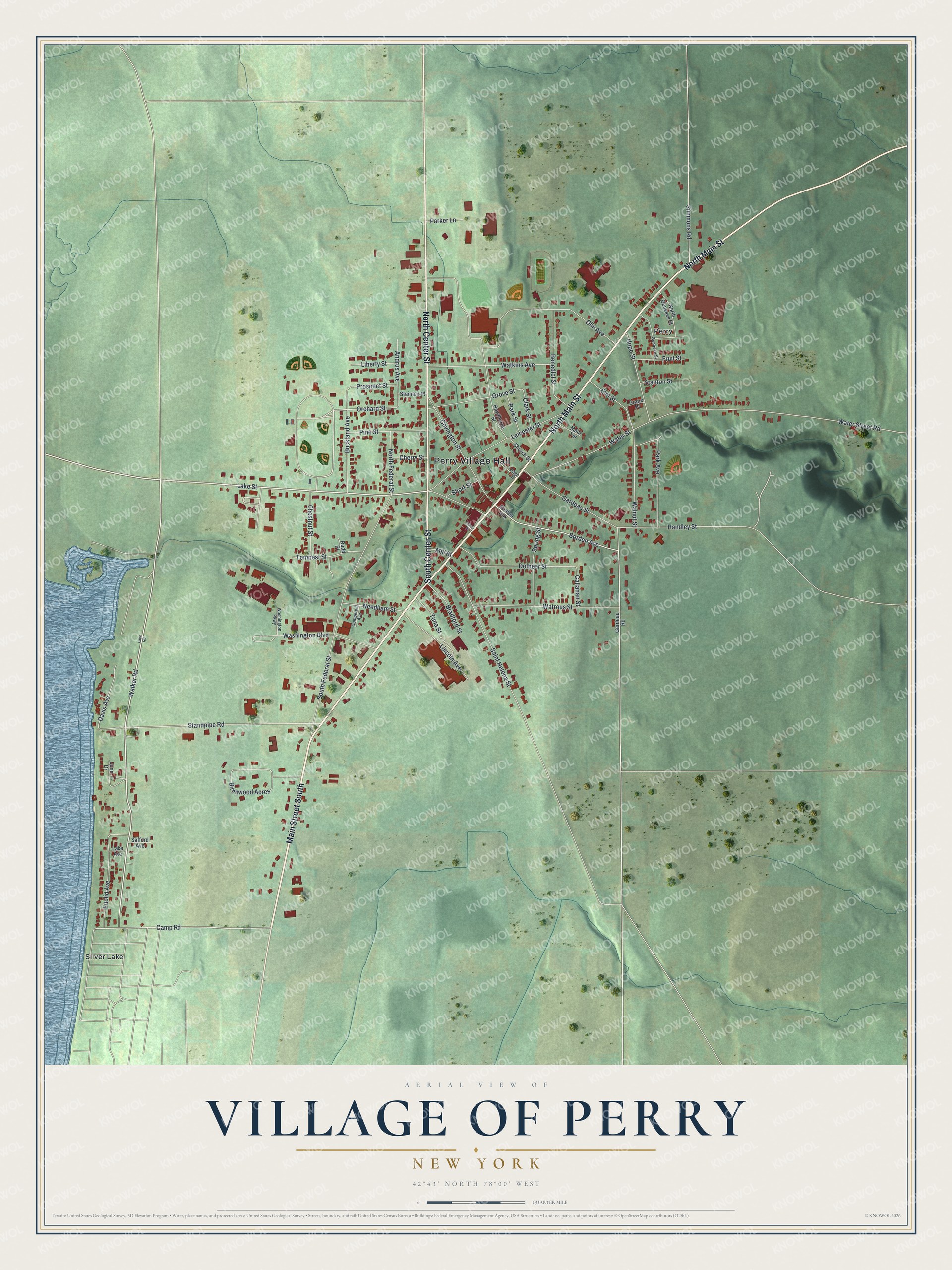
This beautifully detailed map of the Village of Perry, New York was created in 2026 using aerial imagery combined with modern topographical, census, street and landmark data. It’s a one-of-a-kind view of the Village of Perry that combines accurate data with a vintage aesthetic. The map shows every building in its true location, many of the roads carry their names, and the shaded topographic relief shows the shape of the land.
Explore an aerial view of the Village of Perry, New York
On the map you’ll find Perry Village Hall and Silver Lake, along with Main Street, Center Street, Camp Road, Walker Road, and more. If you look closely you can even find your house accurately drawn in its correct location. Zoom in on the preview to look for yours.
Take a closer look at the Village of Perry map
Names on this map
These names are printed on this map.
Places: Perry Village Hall, Perry and Silver Lake.
Streets and roads: Main Street South, North Main Street, South Center Street, North Center Street, Camp Road, Walker Road, Orchard Street, Standpipe Road, Water Street, Lake Street, South Federal Street, Gardeau Street.
More street names, A to Z
Andrus Avenue, Benedict Street, Birchwood Acres, Borden Anx, Borden Avenue, Bradford Street, Buckland Avenue, Callahan Street, Cherry Street, Chestnut Street, Church Street, Clark Street, Competent Avenue, Covington Street, Crane Place, Davis Avenue, Dolbeer Street, Elm Street, Euclid Avenue, Fruit Street, Gardeau Road, Genesee Street, Grove Street, Handley Street, Hawthorne Street, Hope Street, June Drive, Lake Avenue, Lake Road, Leicester Street, Liberty Street, Lincoln Avenue, Main Terrace, Mill Street, Needham Street, North Federal Street, North Genesee Street, Olin Avenue, Page Circle, Park Avenue, Parker Lane, Park Street, Pine Street, Prospect Street, Rudd Place, Safford Avenue, Saint Helena Street, Short Street, Simmons Road, Spring Street, Stainton Place, Stanton Street, Tempest Street, Traver Place, Tuna Street, Walnut Street, Washington Boulevard, Washington Parkway, Water Street Road, Watkins Avenue, Watrous Street.
See it on a wall
The Perry map as a framed print. Swipe for more.


This beautifully detailed map of the Village of Perry makes an attractive addition to your office, library, or den, and it can even be used to teach children the geography and history of the area. It also makes a great gift for anyone who grew up in the Village of Perry or moved away. When you’re done exploring, click here to get your copy of the Village of Perry map.