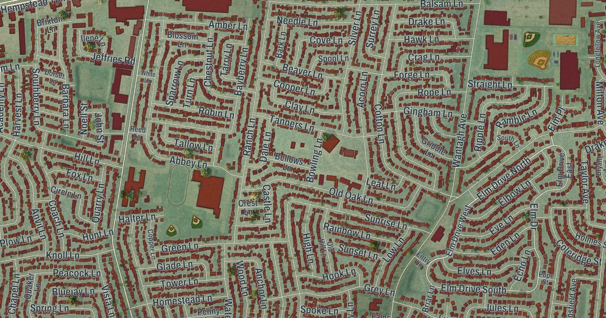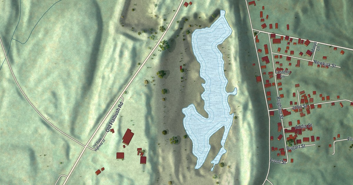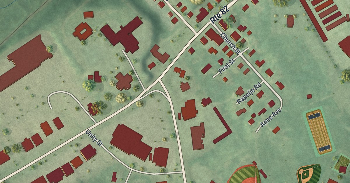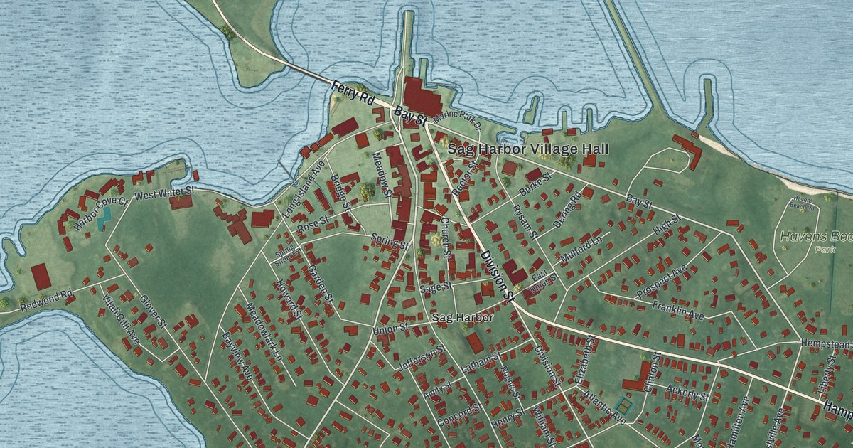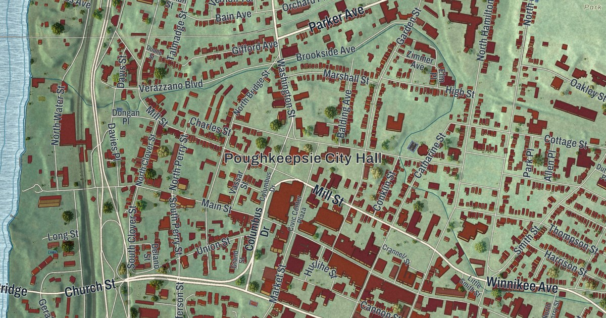
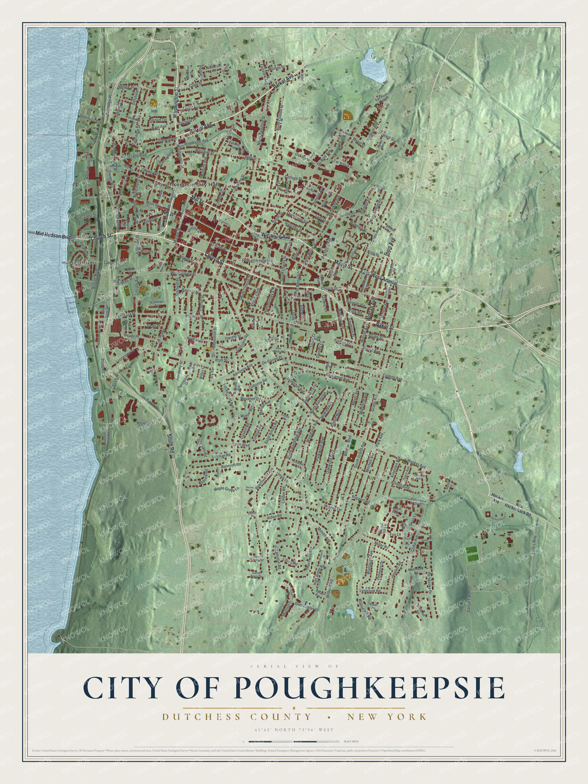
This beautifully detailed map of the City of Poughkeepsie, Dutchess County, New York was created in 2026 using aerial imagery combined with modern topographical, census, street and landmark data. It’s a one-of-a-kind view of the City of Poughkeepsie that combines accurate data with a vintage aesthetic. The map shows every building in its true location, many of the roads carry their names, and the shaded topographic relief shows the shape of the land.
Explore an aerial view of the City of Poughkeepsie, Dutchess County, New York
On the map you’ll find Poughkeepsie City Hall, East-West Arterial, Hudson Heights, College Hill Park, Spratt Park, Pulaski Park, and Bartlett Park, along with Parker Avenue, Church Street, Baker Street, and more. If you look closely you can even find your house accurately drawn in its correct location. Zoom in on the preview to look for yours.
Did You Know?
Poughkeepsie takes its name from apokeepsingk, a word in the Delaware language. It meant a safe, pleasant harbor, or a shallow inlet where small boats were safe. The settlement was founded in 1686 and became a city in 1854. That’s from the U.S. Geological Survey place names records.
Take a closer look at the City of Poughkeepsie, Dutchess County map
Names on this map
These names are printed on this map.
Places: Poughkeepsie City Hall, College Hill Park, Spratt Park, Springside, Pulaski Park, Bartlett Park, Hudson Heights and Poughkeepsie.
Streets and roads: Parker Avenue, Church Street, Baker Street, East-West Arterial, Innis Avenue, Worrall Avenue, South Road, Maple Street, Mill Street, Washington Street, Mid Hudson Bridge, Winnikee Avenue.
More street names, A to Z
Academy Street, Adriance Avenue, Albany Street, Alden Road, Allen Place, Arnold Boulevard, Arnold Road, Austin Court, Bain Avenue, Balding Avenue, Bancroft Road, Barclay Street, Barnard Avenue, Bartlett Street, Beechwood Avenue, Beechwood Terrace, Beekman Street, Bellmore Drive, Bement Avenue, Bobrick Road, Boulevard Knolls, Brookside Avenue, Cannon Street, Carroll Street, Catharine Street, Cedar Avenue, Cedarcliff Lane, Center Street, Charles Street, Circular Road, Civic Center Plaza, Clark Street, College Avenue, Columbia Street, Columbus Drive, Conklin Street, Corlies Avenue, Cottage Street, Crannell Street, Creek Road, Crescent Road, Crystal Hill Lane, Daniels Court, Davies Place, Davis Street, Dean Place, Deer Path, De Garmo Place, Delafield Street, Delano Street, Dongan Place, Douglas Street, Duane Street, Du Bois Avenue, Dutcher Place, Dutchess Avenue, Dwight Street, Eastman Terrace, Eden Terrace, Edgar Street, Elm Place, Elmwood Avenue, Estelle Road, Fairview Avenue, Fallkill Avenue, Ferris Lane, Fitchett Street, Flannery Avenue, Forbus Street, Foster Street, Fountain Place, Fox Lane, Fox Street, Fox Terrace, Franklin Street, Fulton Avenue, Garden Street, Garfield Place, Gaskin Road, Gerald Drive, Gifford Avenue, Glen Eagles Drive, Glenwood Avenue, Grand Avenue, Grand Street, Gray Street, Green Street, Grove Street, Grubb Street, Gus Siko Road, Hammersley Avenue, Hanscom Avenue, Harrison Street, Henderson Street, Hewlett Road, High Ridge Road, High Street, Hoffman Avenue, Hoffman Street, Holly Walk, Holmes Street, Hooker Avenue, Howard Street, Hudson Avenue, Hudson Pointe Drive, Hurlihe Street, Ivy Terrace, Jefferson Street, Jewett Avenue, Keith Place, Kimball Road, Kingston Avenue, King Street, Kittredge Place, Knightsbridge, Laurel Street, Lawrence Road, Lent Street, Lilling Road, Lincoln Avenue, Linden Road, Little Market Street, Little Smith Street, Livingston Street, Lockerman Avenue, Long Street, Lorie Lane, Lown Court, Lynbrook Road, Mack Road, Main Street, Manitou Avenue, Mansion Street, Maple Grove Lane, Marian Avenue, Market Street, Marshall Street, Maryland Avenue, May Street, Meyer Avenue, Mildred Avenue, Miller Road, Milton Street, Mitchell Avenue, Monell Avenue, Montgomery Street, Morgan Avenue, Morton Street, Muirfield Court, New Hackensack Road, North Bridge Street, North Cherry Street, North Clinton Street, North Clover Street, North Hamilton Street, North Perry Street, North Randolph Avenue, North Water Street, North White Street, Noxon Street, Oakley Street, Oak Street, Oakwood Boulevard, Orchard Place, Osborne Road, Palmer Avenue, Panorama Boulevard, Park Avenue, Park Place, Parkwood Boulevard, Pembroke Drive, Pershing Avenue, Philmore Drive, Phoenix Street, Pine Saint Spr, Pine Street, Platt Street, Poplar Street, Prestwick Court, Prospect Street, Quaker Lane, Radcliffe Road, Reade Place, Reynolds Avenue, Richmond Road, Rinaldi Boulevard, Rombout House Lane, Roosevelt Avenue, Rosalind Road, Rose Street, Ruppert Road, Saint Annes Road, Saint Josephs Terrace, Salt Point Turnpike, Santa Anna Drive, Scenic Lane, Seaman Road, Second Mile Drive, Sharon Drive, Smith Street, South Avenue, South Cherry Street, South Clinton Street, South Clover Street, South Grand Avenue, South Hamilton Street, South Perry Street, South Randolph Avenue, South White Street, Spoor Avenue, Spratt Avenue, Springside Drive, Spruce Street, Sunfish Cove Road, Swan Lane, Talmadge Street, Tamidan Road, Taylor Avenue, Thompson Street, Thorndale Avenue, Thornwood Drive, Underhill Avenue, Union Street, Van Kleeck Drive, Vassar Farm Lane, Vassar Street, Verazzano Boulevard, Vernon Terrace, Virginia Avenue, Walnut Hill Road, Wantaugh Avenue, Weed Street, West Arnold Road, West College Avenue, Whitehall Road, Whittier Boulevard, Wilbur Boulevard, Wilbur Court, Williams Street, Willow Bend, Wilmot Terrace, Wilson Boulevard, Woodland Avenue, Yates Boulevard, Young Street, Zach's Way, Zimmer Avenue.
See it on a wall
The Poughkeepsie, Dutchess County map as a framed print. Swipe for more.


This beautifully detailed map of the City of Poughkeepsie, Dutchess County makes an attractive addition to your office, library, or den, and it can even be used to teach children the geography and history of the area. It also makes a great gift for someone who left the City of Poughkeepsie and still calls it home. When you’re done exploring, click here to get your copy of the City of Poughkeepsie, Dutchess County map.