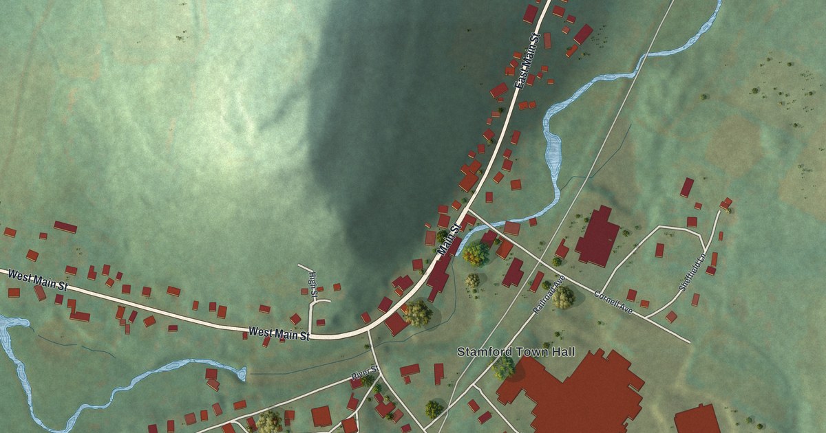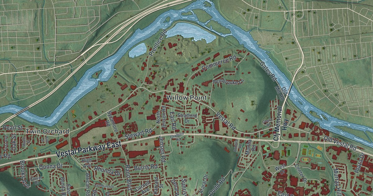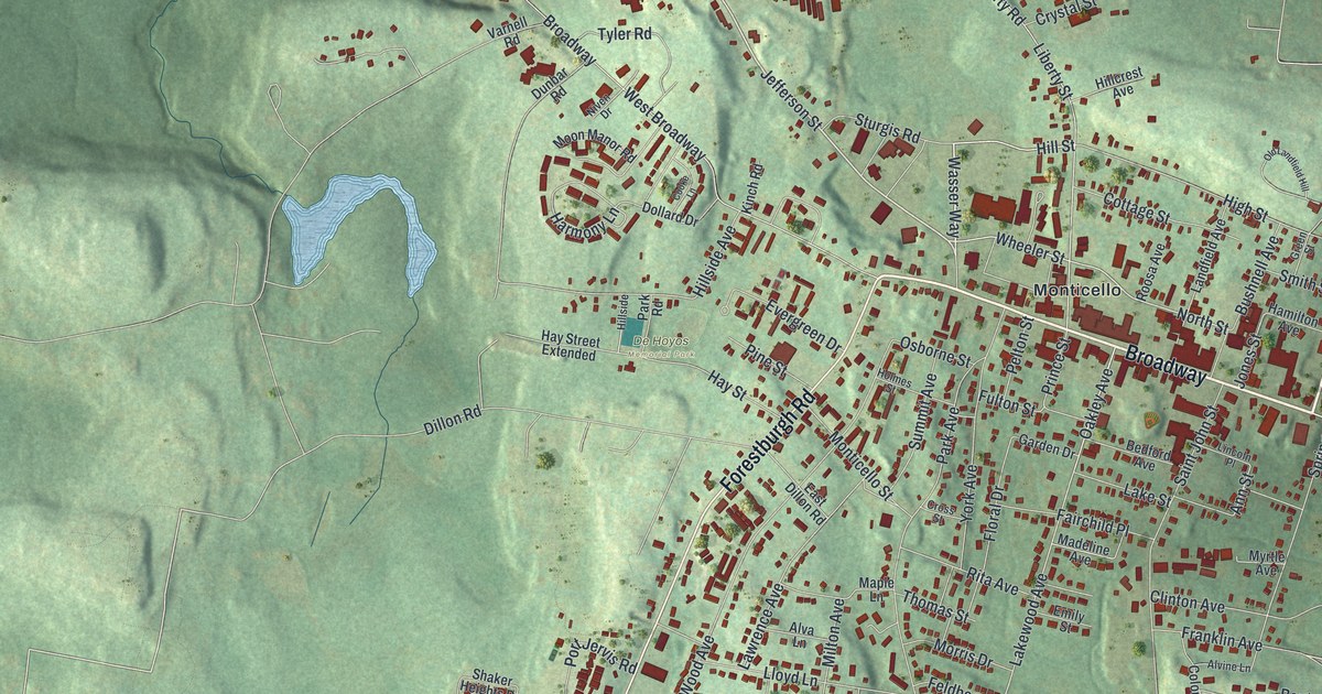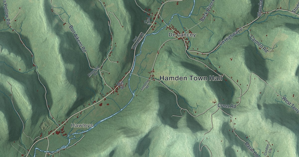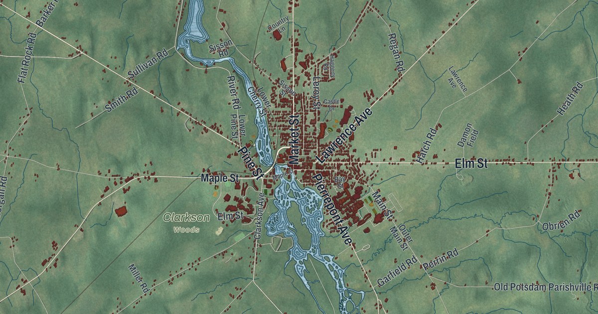
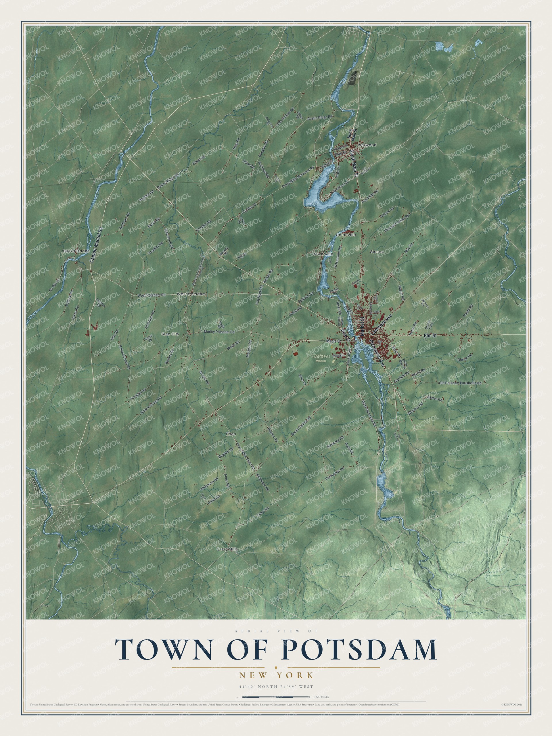
This beautifully detailed map of the Town of Potsdam, New York was created in 2026 using aerial imagery combined with modern topographical, census, street and landmark data. It’s a one-of-a-kind view of the Town of Potsdam that combines accurate data with a vintage aesthetic. The map shows every building in its true location, many of the roads carry their names, and the shaded topographic relief shows the shape of the land.
Explore an aerial view of the Town of Potsdam, New York
On the map you’ll find Bucks Bridge, Crary Mills, Eben, Hewittville, and Norwood, along with Pine Street, Market Street, Canton-Madrid Road, Elm Street, Lawrence Avenue, and more. If you look closely you can even find your house accurately drawn in its correct location. Zoom in on the preview to look for yours.
Did You Know?
The town was named after the city of Potsdam in Germany. The Mohawk had their own name for this place. Federal name records say it translates to where the gravel spreads. That’s from the U.S. Geological Survey place names records.
Take a closer look at the Town of Potsdam map
Names on this map
These names are printed on this map.
Places: Clarkson Woods, Bucks Bridge, Crary Mills, Eben, Hewittville, Norwood, Sisson, Slab City, Unionville and West Potsdam.
Streets and roads: Pine Street, Market Street, Canton-Madrid Road, Elm Street, Lawrence Avenue, Pierrepont Avenue, South Main Street, River Road, West Hannawa Road, Lakeshore Drive, Main Street, Old Potsdam Parishville Road.
More street names, A to Z
Adams Road, Ames Road, Anderson Road, Austin Ridge Road, Bagdad Road, Baker Road, Barker Road, Barnes Road, Bay Street, Blanchard Road, Buffham Road, Castle Drive, Clarkson Avenue, Collins Road, Country Lane, County Route 14, Crary Mills-Eben Road, Crary Mills-Norwood Road, Crosbie Road, Cty Route 35, Dailey Ridge Road, Damon Field, Dayton Road, Douglas Road, Dry Bridge Road, Elliot Road, Elliott Road, Ellis Road, Emerson Road, Finnigan Road, Flat Rock Road, French Road, Garfield Road, Giffin Road, Haggerty Road, Haig Road, Hatch Road, Hazen Road, Heath Road, Hoadley Road, Hogle Road, Hughes Road, Italian Road, Judson Street Road, Leary Road, Leroy Street, Lime Hollow Road, Lower Cherry Street, Lower Pine Street, Mackay Road, Maple Lane, Maple Street, May Road, McGinnis Road, Miller Road, Moores Corners-Burnhams Corner Road, Morgan Road, Morley Potsdam Road, North Main Street, Obrien Road, Old State Road, Outer Main Street, Outer Maple Street, Park Street, Parmenter Road, Pearson Road, Perrin Road, Pig Street, Pleasant Valley Road, Pollock Road, Prospect Street, Railroad Road, Regan Road, Reynolds Road, Ridge Street, Root Road, Rutherford Road, Sayles Road, Schoolhouse Road, Sisson Road, Sisson Street, Sissonville Road, Smith Road, South Canton Road, Sullivan Road, Sweeney Road, Sykes Road, Waite Road, West Potsdam Road, Wheeler Road, Wilkinson Road, Wright Road.
See it on a wall
The Potsdam map as a framed print. Swipe for more.


This beautifully detailed map of the Town of Potsdam makes an attractive addition to your office, library, or den, and it can even be used to teach children the geography and history of the area. It also makes a great gift for someone who left the Town of Potsdam and still calls it home. When you’re done exploring, click here to get your copy of the Town of Potsdam map.