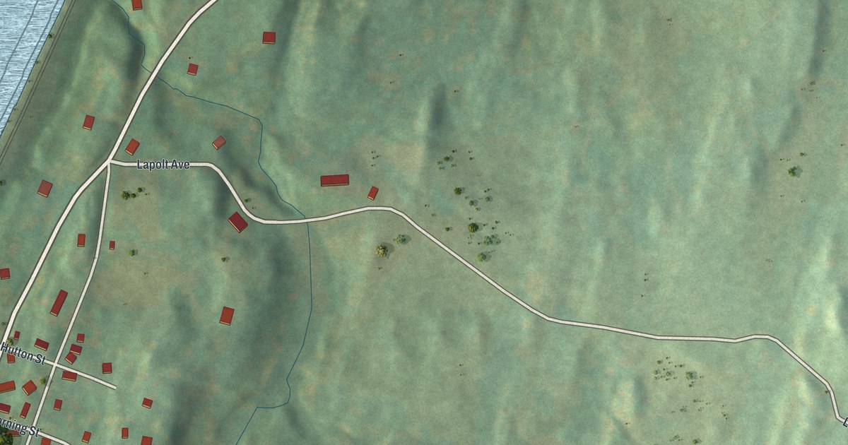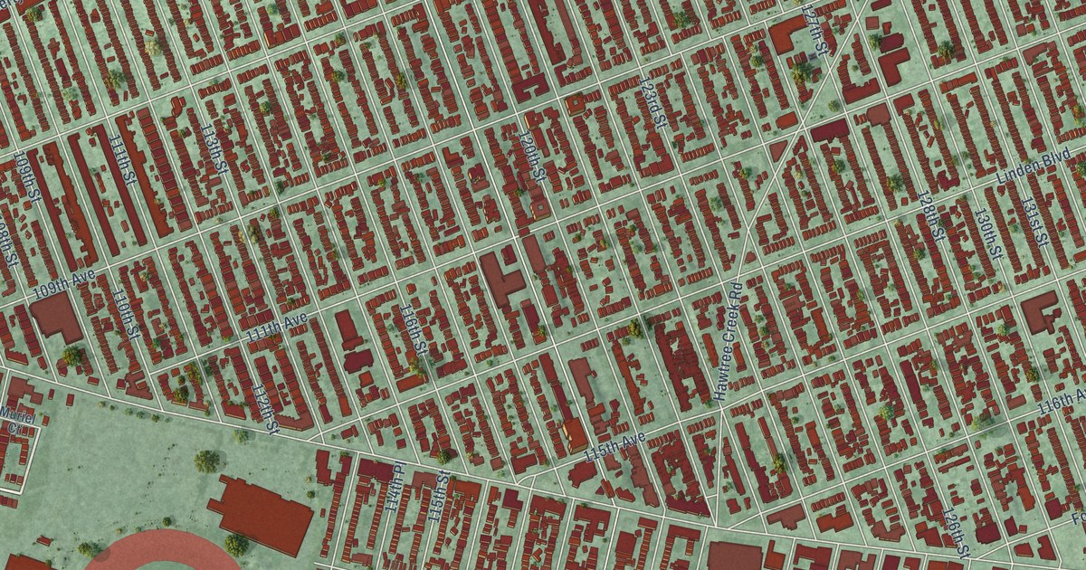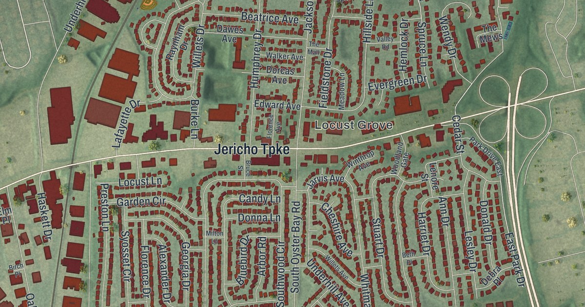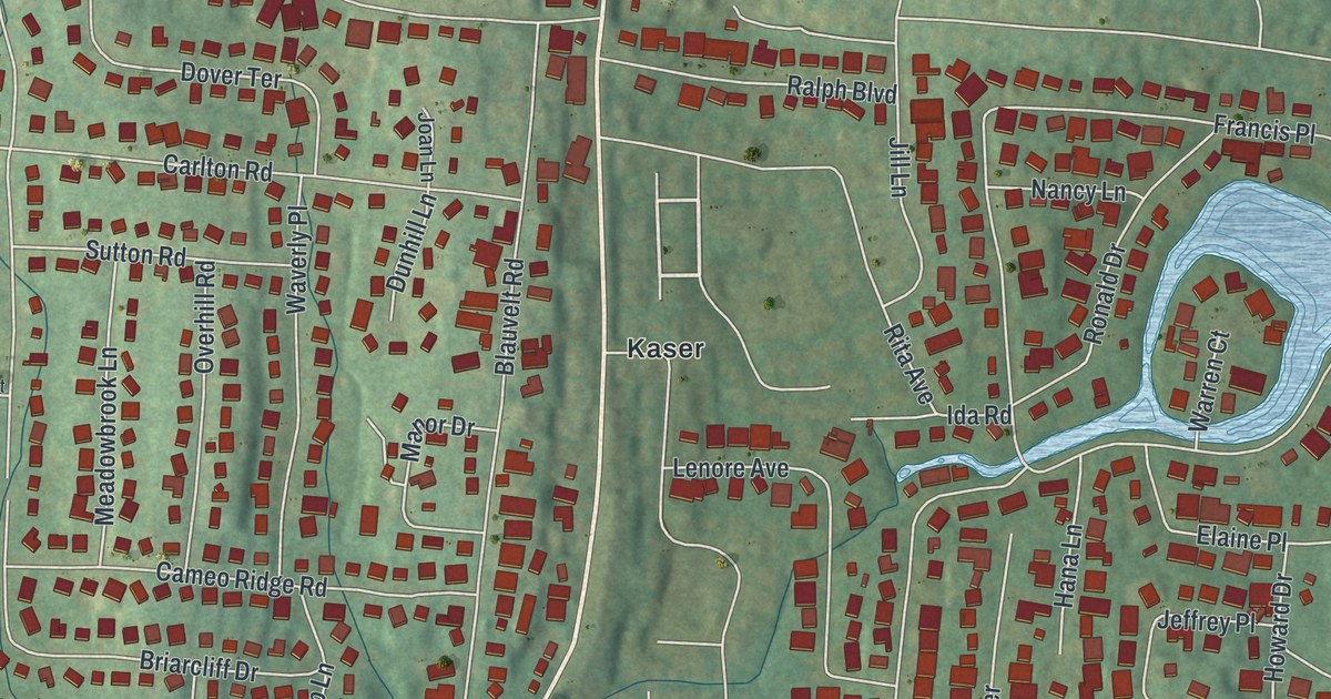
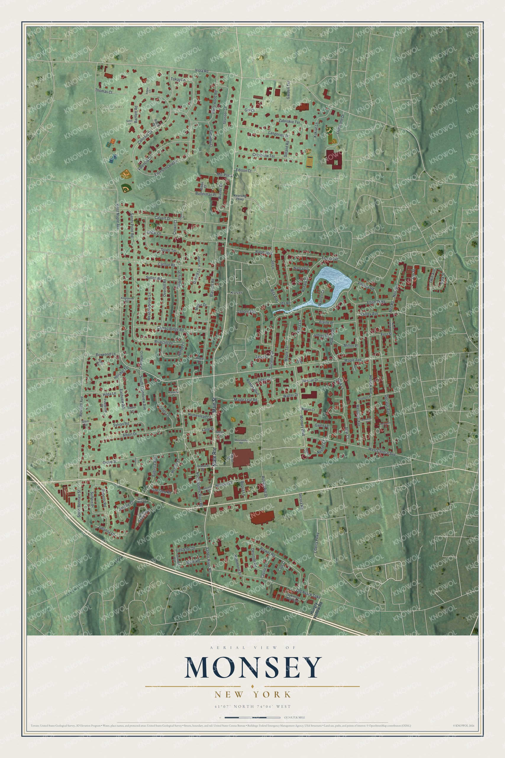
This beautifully detailed map of Monsey, New York was created in 2026 using aerial imagery combined with modern topographical, census, street and landmark data. It’s a one-of-a-kind view of Monsey that combines accurate data with a vintage aesthetic. The map shows every building in its true location, many of the roads carry their names, and the shaded topographic relief shows the shape of the land.
Explore an aerial view of Monsey, New York
On the map you’ll find Kaser and Viola Town Park, along with Main Street, Hungry Hollow Road, Saddle River Road, Concord Drive, Monsey Boulevard, and more. If you look closely you can even find your house accurately drawn in its correct location. Zoom in on the preview to look for yours.
Did You Know?
Monsey’s name is another spelling of Munsee, the Lenape band that lived in Rockland County. The name was first given to the local railroad station. The New York and Erie Railroad built that station when its tracks came through the glen in 1841.
Take a closer look at the Monsey map
Names on this map
These names are printed on this map.
Places: Viola Town Park and Kaser.
Streets and roads: State Route, Main Street, Saddle River Road, Concord Drive, Monsey Boulevard, Secora Road, Liberty Parkway, Remsen Avenue, West Maple Avenue, Viola Road, Maple Avenue, Suzanne Drive.
More street names, A to Z
Acer Court, Adar Court, Albert Drive, Anjou Lane, Augusta Avenue, Bartlett Road, Blauvelt Road, Boxwood Lane, Brewer Road, Briarcliff Drive, Butterman Place, Calvert Drive, Cameo Ridge Road, Cape Court, Carlton Road, Caville Drive, Cedar Lane, Challenger Court, Crest Street, Crestview Terrace, Crown Court, Decatur Avenue, Depot Square, Deronde Road, Dover Terrace, Dunhill Lane, Dykstras Way East, East Concord Drive, Eastview Road, Edison Court, Edwin Lane, Elaine Place, Ellish Parkway, Elm Street, Emes Lane, Fanley Avenue, First Street, Francis Place, Fred Eller Drive, Garden Terrace, Gel Court, Gibbs Court, Glenn Hill Road, Grosser Lane, Grove Street, Gwen Lane, Hammond Street, Hana Lane, Harvest Court, Herrick Avenue, Hershel Terrace, Hilda Lane, Hilltop Lane, Holly Circle, Homestead Lane, Hopal Lane, Horizon Court, Howard Drive, Hungry Hollow Road, Ida Road, Jeffrey Place, Jill Lane, Joan Lane, Johanna Lane, Joshua Court, Kakiat Lane, Kearsing Parkway, Kingspoint Lane, Lane Street, Langeries Drive, Lenore Avenue, Leon Drive, Liebmann Drive, Manor Drive, Maple Leaf Road, Maple Terrace, Meadowbrook Lane, Meadow Lane, Miele Road, Milton Place, Mjc Plaza, Morris Court, Moscarella Road, Nancy Lane, Neil Avenue, Neil Road, Nesher Court, Nissan Court, North Cole Avenue, Northgate Drive, North Saddle River Road, Oak Glen Road, Old Nyack Turnpike, Orchard Street, Overhill Road, Park Lane, Park Street, Pinewood Drive, Ralph Boulevard, Requa Lane, Ribier Court, Rita Avenue, Robert Pitt Drive, Roberts Road, Roman Boulevard, Ronald Drive, Rose Garden Way, Sands Point Road, Second Street, Secor Street, Sickle Lane, Soland Road, South Grandview Avenue, South Remsen Street, Spruill Court, Stein Circle, Stephens Place, Suffern Place, Summit Avenue, Sunrise Drive, Sutton Road, Sylvan Road, Thomas Court, Timothy Court, Tokay Lane, Tower Lane, Treetop Lane, Twin Avenue, Underwood Road, Valencia Drive, Vincent Road, Walter Drive, Warren Court, Waverly Place, West Central Avenue, Westside Avenue, Wiener Drive, Woodside Place, Zabriskie Terrace.
See it on a wall
The Monsey map as a framed print. Swipe for more.


This beautifully detailed map of Monsey makes an attractive addition to your office, library, or den, and it can even be used to teach children the geography and history of the area. It also makes a great gift for anyone who grew up in Monsey or moved away. When you’re done exploring, click here to get your copy of the Monsey map.