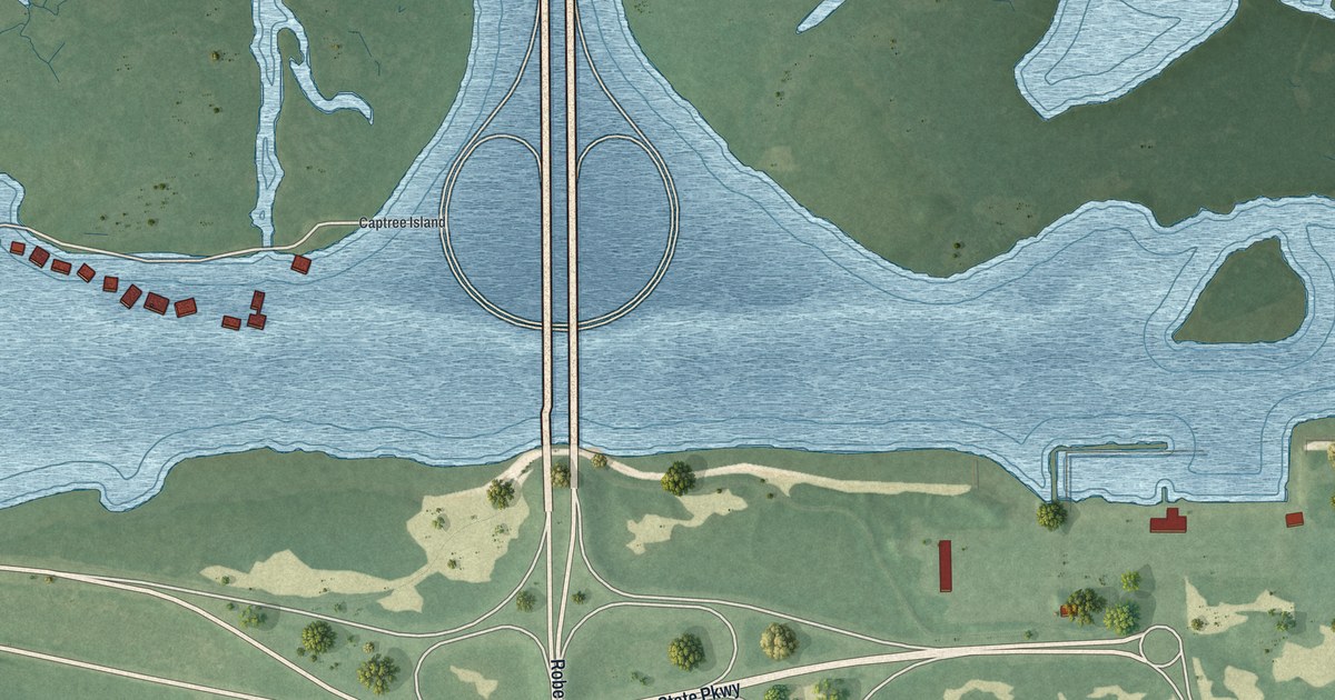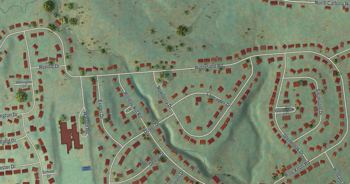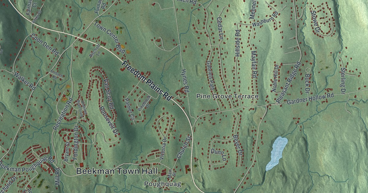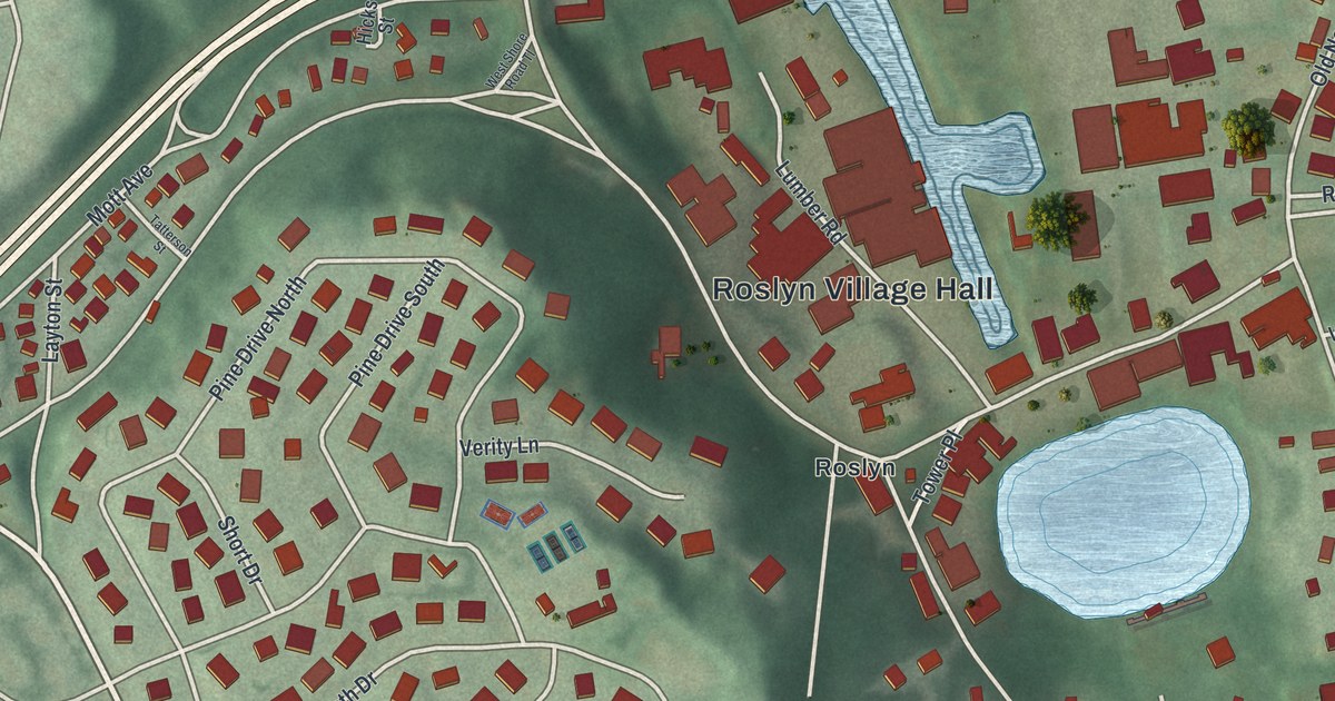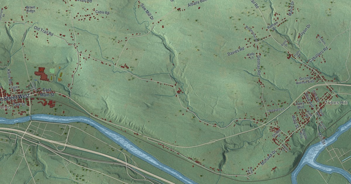
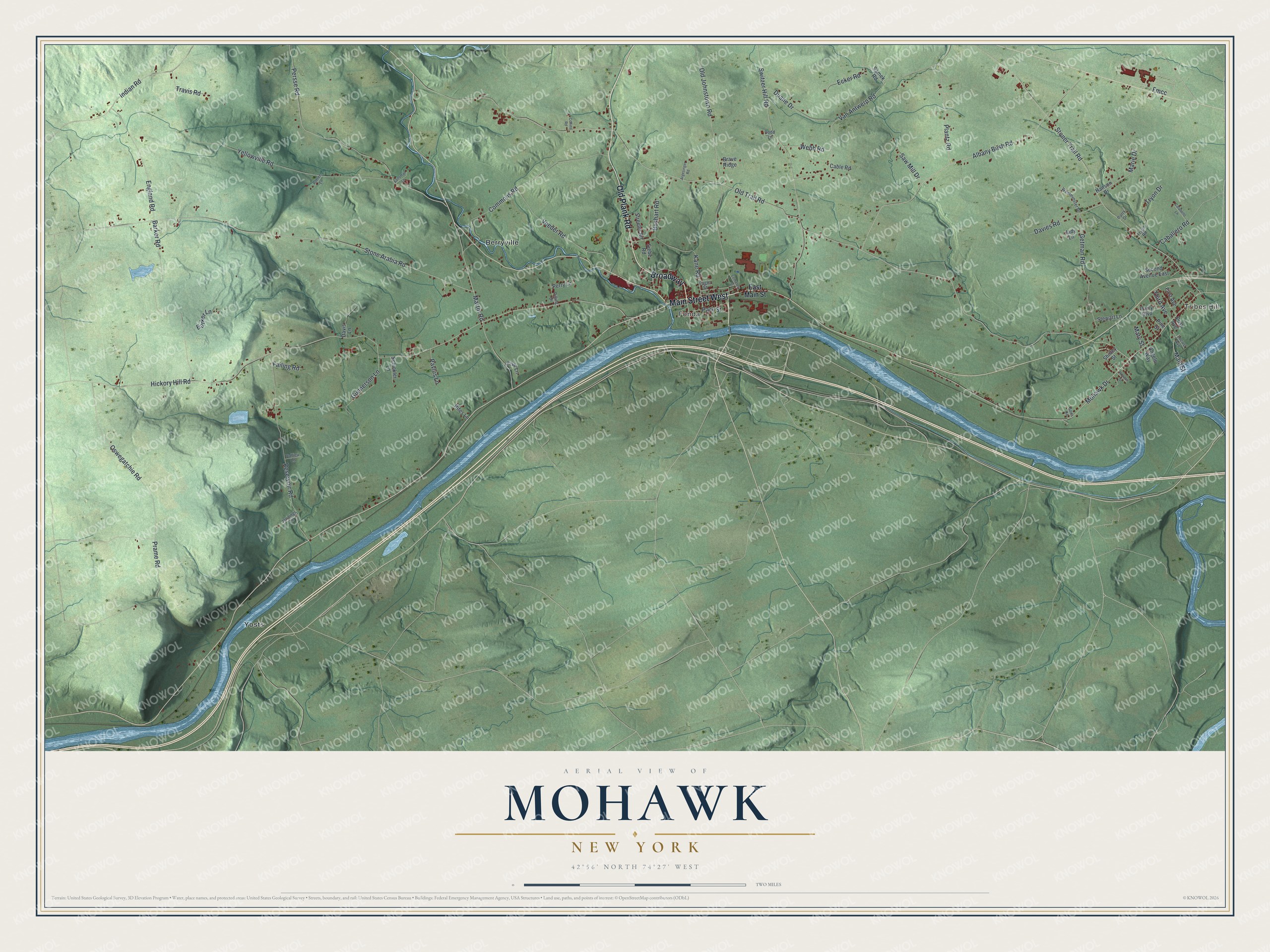
This beautifully detailed map of Mohawk, New York was created in 2026 using aerial imagery combined with modern topographical, census, street and landmark data. It’s a one-of-a-kind view of Mohawk that combines accurate data with a vintage aesthetic. The map shows every building in its true location, many of the roads carry their names, and the shaded topographic relief shows the shape of the land.
Explore an aerial view of Mohawk, New York
On the map you’ll find Tribes Hill, Fonda, Berryville, and Yosts, along with Old Plank Road, Main Street, Old Trail Road, Getman Road, Park Street, and more. If you look closely you can even find your house accurately drawn in its correct location. Zoom in on the preview to look for yours.
Did You Know?
In 1993, a Haudenosaunee community called Kanatsiohareke bought Montgomery Manor. The colonial estate had belonged to Major Jelles Fonda. Elder and spiritual leader Tom Porter led the group. It worked to keep Haudenosaunee traditions, philosophy and self-government alive and to preserve the culture.
Take a closer look at the Mohawk map
Names on this map
These names are printed on this map.
Places: Tribes Hill, Fonda, Berryville and Yosts.
Streets and roads: Old Plank Road, Broadway, Main Street West, Fmcc, Old Trail Road, Getman Road, Park Street, Tryon Drive, Indian Road, Third Avenue, Hickory Hill Road, Stone Arabia Road.
More street names, A to Z
Albany Bush Road, Angelo Way, Argesinger Road, Barker Lane, Barker Road, Bates Road, Boshart Road, Brave Ridge, Caballero Road, Cable Road, Calabello Lane, Cemetery Street, Char Lane, Collins Road, Commons Road, Davies Road, Davis Lane, Dodd Lane, Duane Drive, Eagle Street, East Main Street, Ecker Road, England Road, Failing Road, First Avenue, Gunnerson Lane, Hanson Drive, Howlan Street, Jady Lane, Jennings Lane, Kane Road, Locust Avenue, Main Street, Marie Drive, Martin Road, Mary Street, Mohawk Drive, Old Johnstown Road, Oswegatchie Road, Parry Boulevard, Parry Drive, Pavlus Lane, Perry Lane, Persse Road, Pilling Drive, Pine Street, Plantz Road, Post Avenue, Prame Road, Reservoir Road, Rifes Lane, Roblee Lane, Saltsman Lane, Samek Road, Saw Mill Drive, Schickler Lane, Second Avenue East, Shirley Street, Siebe Road, Stewart Lane, Stoner Trail Road, Streeter Road, Switzer Hill Road, Travis Road, Tryon Road, Vallieu Lane, Van Antwerp Road, Veeder Road, Webb Road, Westminster Drive, Yellowville Road.
See it on a wall
The Mohawk map as a framed print. Swipe for more.


This beautifully detailed map of Mohawk makes an attractive addition to your office, library, or den, and it can even be used to teach children the geography and history of the area. It also makes a great gift for anyone who grew up in Mohawk or moved away. When you’re done exploring, click here to get your copy of the Mohawk map.