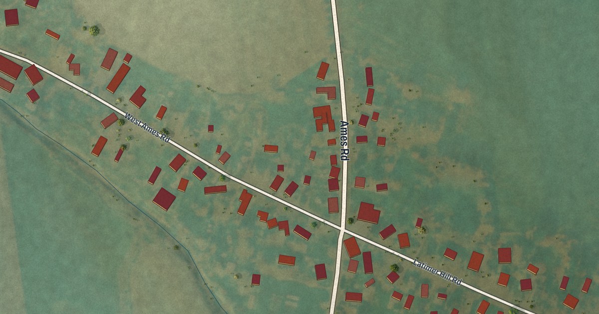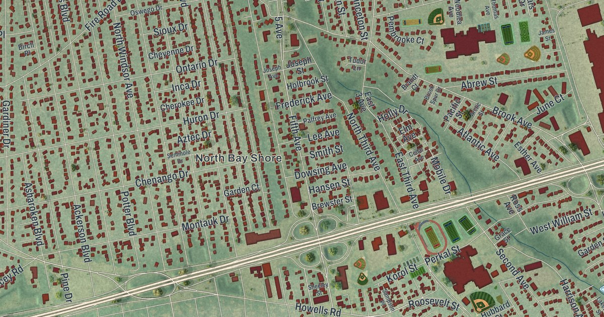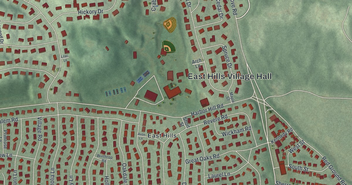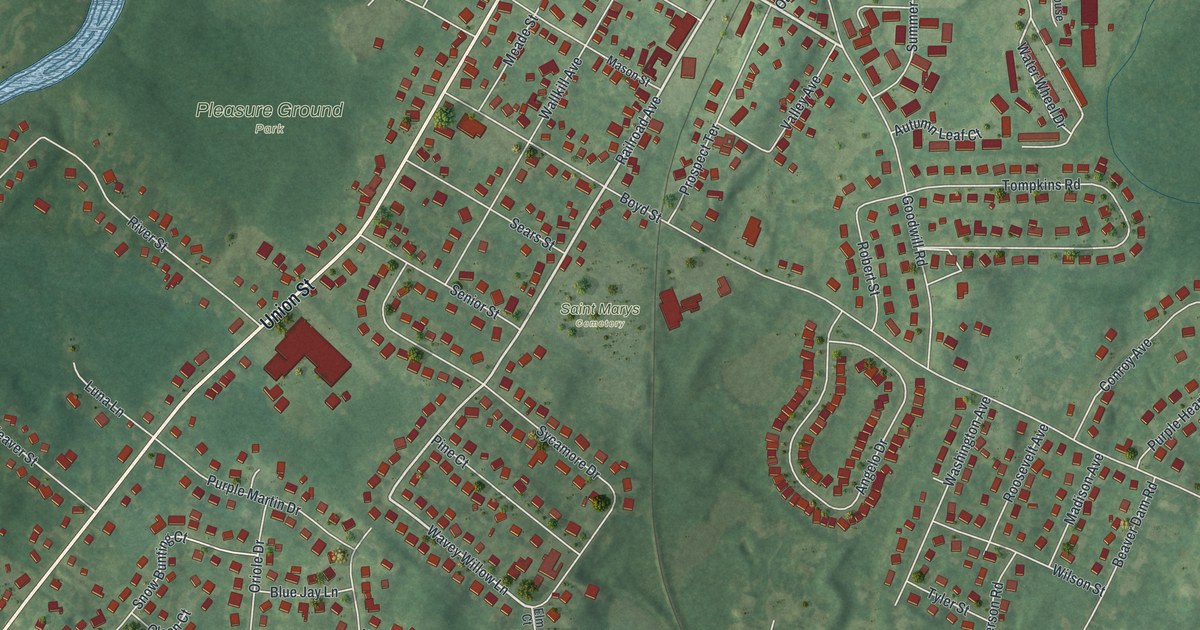
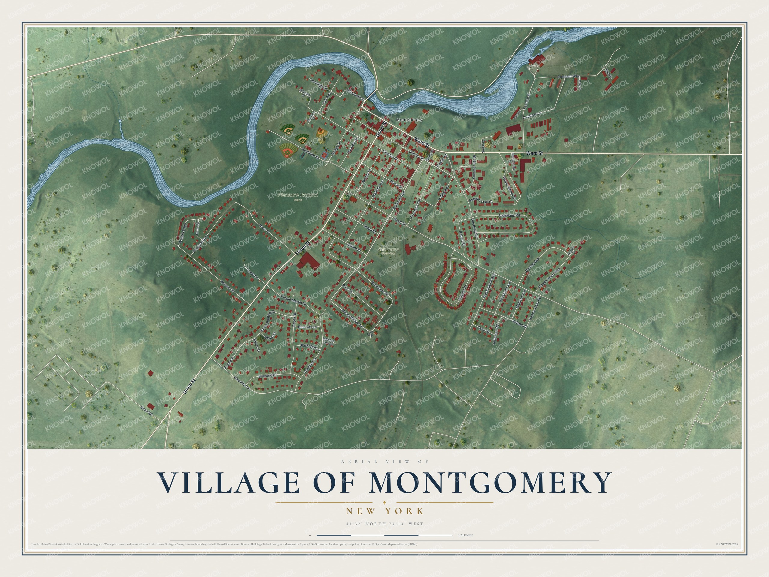
This beautifully detailed map of the Village of Montgomery, New York was created in 2026 using aerial imagery combined with modern topographical, census, street and landmark data. It’s a one-of-a-kind view of the Village of Montgomery that combines accurate data with a vintage aesthetic. The map shows every building in its true location, many of the roads carry their names, and the shaded topographic relief shows the shape of the land.
Explore an aerial view of the Village of Montgomery, New York
On the map you’ll find Pleasure Ground Park and Saint Marys Cemetery, along with Union Street, Ward Street, Clinton Street, Railroad Avenue, Goodwill Road, and more. If you look closely you can even find your house accurately drawn in its correct location. Zoom in on the preview to look for yours.
Did You Know?
The village was first called Ward’s Bridge. James Ward, an early settler, built a grist mill here in the mid-1700s. A bridge over the Wallkill River near his mill took his name. The village was later named for General Richard Montgomery, a Revolutionary War officer.
Take a closer look at the Village of Montgomery map
Names on this map
These names are printed on this map.
Places: Pleasure Ground Park, Saint Marys Cemetery and Montgomery.
Streets and roads: Union Street, Ward Street, Clinton Street, Railroad Avenue, Goodwill Road, Wavey Willow Lane, Water Wheel Drive, Tompkins Road, Boyd Street, Sycamore Drive, Angelo Drive, Charles Street.
More street names, A to Z
Autumn Leaf Court, Ayers Court, Bachelor Street, Beaver Dam Road, Black Bird Lane, Bluebird Drive, Blue Jay Lane, Bridge Street, Cardinal Drive, Chandler Lane, Conroy Avenue, Crabtree Lane, Crossing Lane, Dunn Drive, Dunn Road, Elizabeth Street, Elm Court, Factory Street, Freida Street, Hanover Street, Haskin Court, Jefferson Road, Jennings Street, Luna Lane, Madison Avenue, Marrons Court, Mason Street, Meade Street, Meadow Lark Road, Mill Place, Mills Place, Oakley Street, Olsen Court, Oriole Drive, Patchett Way, Pathway, Pine Court, Pleasant Avenue, Prospect Terrace, Purple Heart Way, Purple Martin Drive, River Street, Robert Street, Roosevelt Avenue, Sears Street, Senior Street, Snow Bunting Court, Springhouse Lane, Spring Street, Summer Set Drive, Taft Avenue, Tyler Street, Valley Avenue, Wallkill Avenue, Washington Avenue, Waters Edge, Weaver Street, Williams Street, Wilson Street.
See it on a wall
The Montgomery map as a framed print. Swipe for more.


This beautifully detailed map of the Village of Montgomery makes an attractive addition to your office, library, or den, and it can even be used to teach children the geography and history of the area. It also makes a great gift for someone who left the Village of Montgomery and still calls it home. When you’re done exploring, click here to get your copy of the Village of Montgomery map.