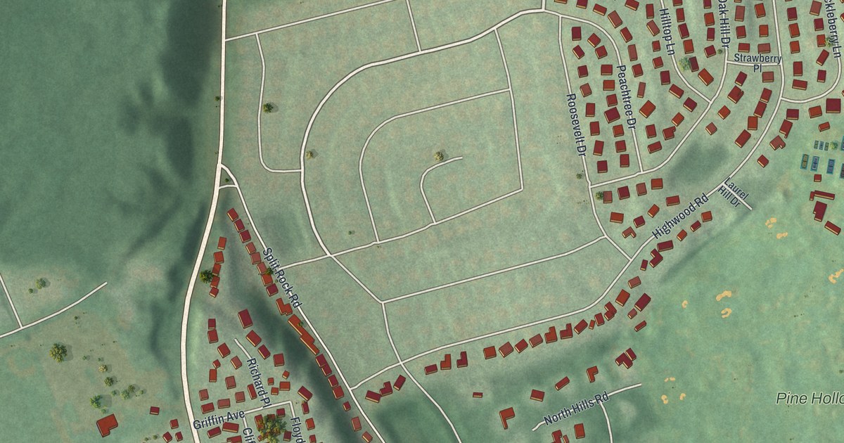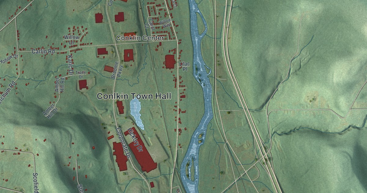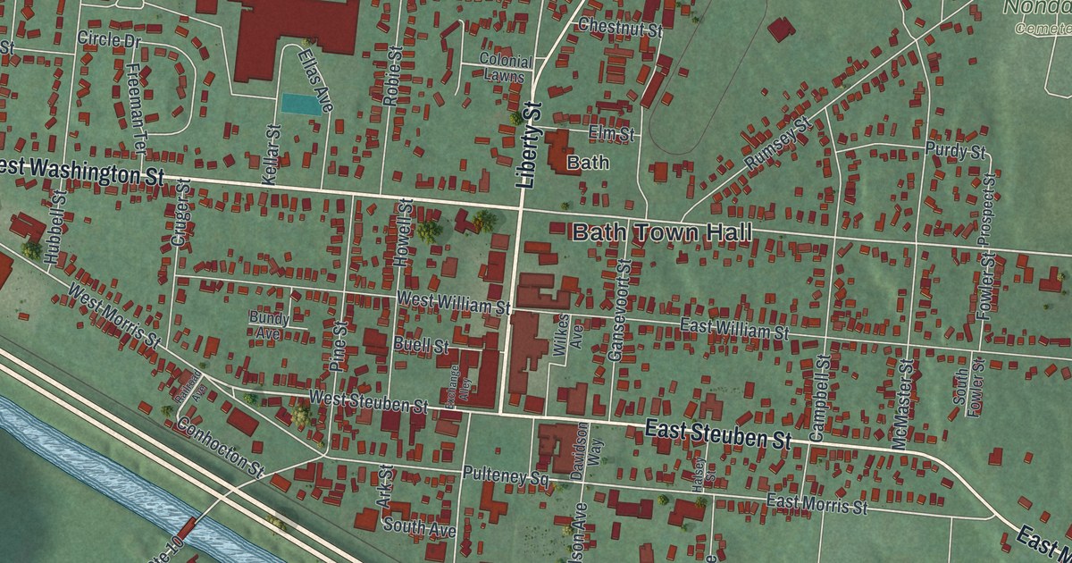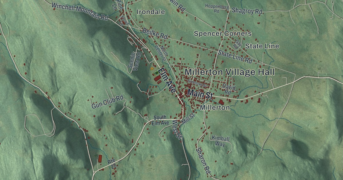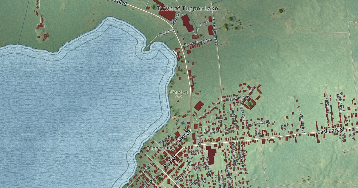
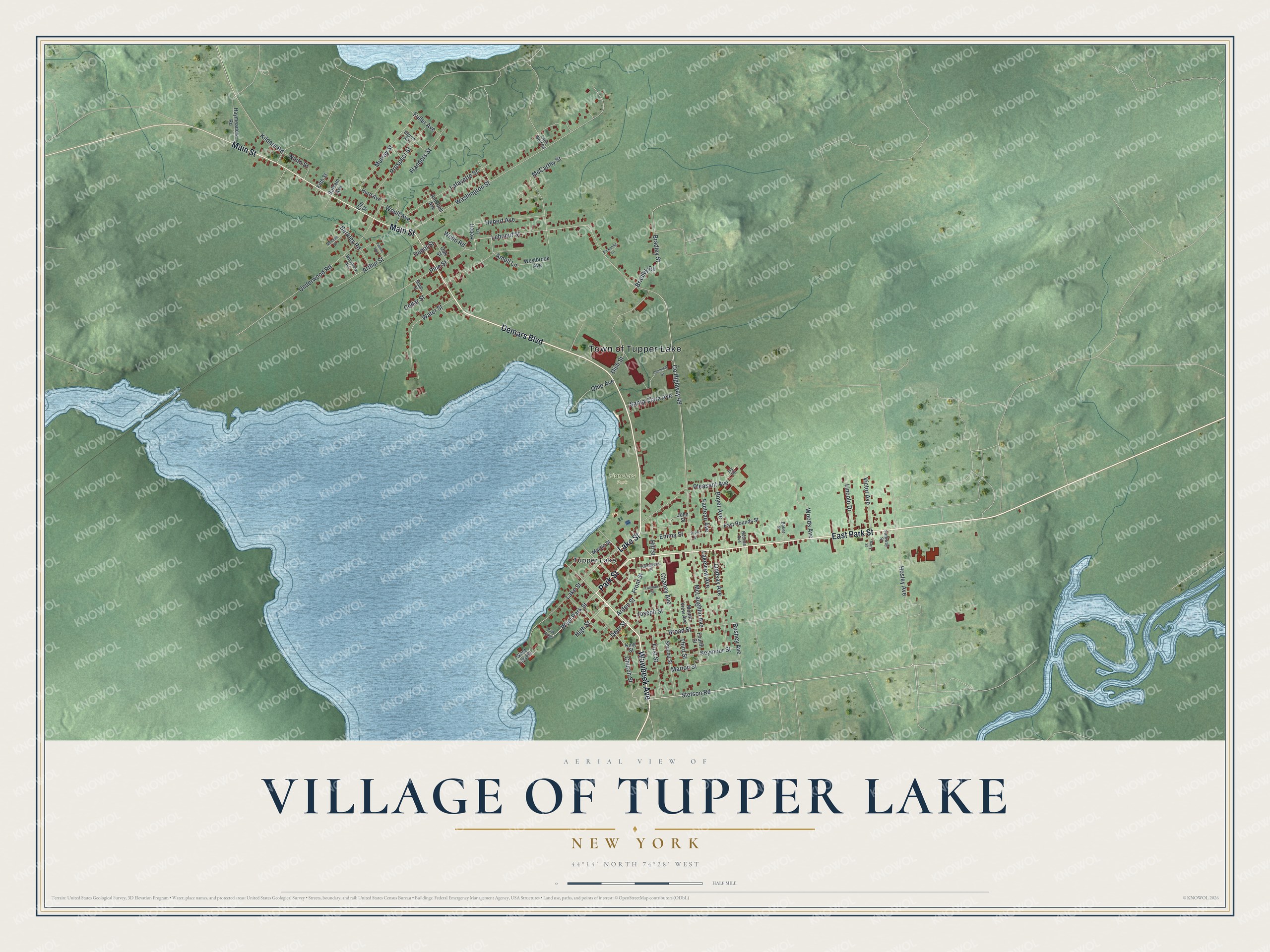
This beautifully detailed map of the Village of Tupper Lake, New York was created in 2026 using aerial imagery combined with modern topographical, census, street and landmark data. It’s a one-of-a-kind view of the Village of Tupper Lake that combines accurate data with a vintage aesthetic. The map shows every building in its true location, many of the roads carry their names, and the shaded topographic relief shows the shape of the land.
Explore an aerial view of the Village of Tupper Lake, New York
On the map you’ll find Flanders Park, along with Wawbeek Avenue, Lake Street, Demars Boulevard, Park Street, Main Street, and more. If you look closely you can even find your house accurately drawn in its correct location. Zoom in on the preview to look for yours.
Did You Know?
Tupper Lake grew up as a lumber village, and for a time it led New York in lumber output. In 1899 a great fire destroyed over 169 buildings, most of them homes. The village rebuilt and gained modern comforts sooner than many others in the state.
Take a closer look at the Village of Tupper Lake map
Names on this map
These names are printed on this map.
Places: Town of Tupper Lake, Flanders Park and Tupper Lake.
Streets and roads: Wawbeek Avenue, Lake Street, Demars Boulevard, East Park Street, Park Street, Main Street, Stetson Road, West Park Street, Leboeuf Street, Arthur Street, Bradley Road, Kildare Road.
More street names, A to Z
Amell Lane, Amoriell Avenue, Arden Street, Baker Street, Balsam Avenue, Barry Street, Berkley Road, Bigrow Avenue, Boyer Avenue, Bradley Street, Broad Street, Bushey Avenue, Cedar Street, Chaney Avenue, Chemical Street, Church Street, County Highway 49, Deer Street, Depot Street, Dish Street, East Rounds Street, Elm Street, Emma Street, Facteau Avenue, Fifth Street, First Street, Flanders Street, Fourth Street, Front Street, Fuller Avenue, Haymeadow Road, Hebert Avenue, Hebert Lane, High Street, Hill Street, Hosley Avenue, Hurd Avenue, Ivy Terrace, John Street, Joseph Street, King Street, Lafayette Street, Lakeview Avenue, Lincoln Drive, Lindsay Avenue, Little Wolf Road, Maple Street, Marion Street, Martin Street, McCarthy Street, McLaughlin Avenue, Mohawk Street, Mount View Avenue, Murray Street, Ninth Street, Oak Street, Ohio Avenue, Palmer Avenue, Park Ridge, Parkway Street, Pickering Lane, Pine Street, Pleasant Avenue, Prospect Street, Rounds Avenue, Santa Clara Avenue, Second Street, Seymour Street, Silver Street, Tallman Street, Third Street, Underwood Road, Vachereau Street, Victor Avenue, Washington Street, Water Street, Webb Road, Westbrook Avenue, West Lake Street, Woodrow Avenue, Woods Avenue, Woulf Avenue.
See it on a wall
The Tupper Lake map as a framed print. Swipe for more.


This beautifully detailed map of the Village of Tupper Lake makes an attractive addition to your office, library, or den, and it can even be used to teach children the geography and history of the area. It also makes a great gift for anyone who grew up in the Village of Tupper Lake or moved away. When you’re done exploring, click here to get your copy of the Village of Tupper Lake map.