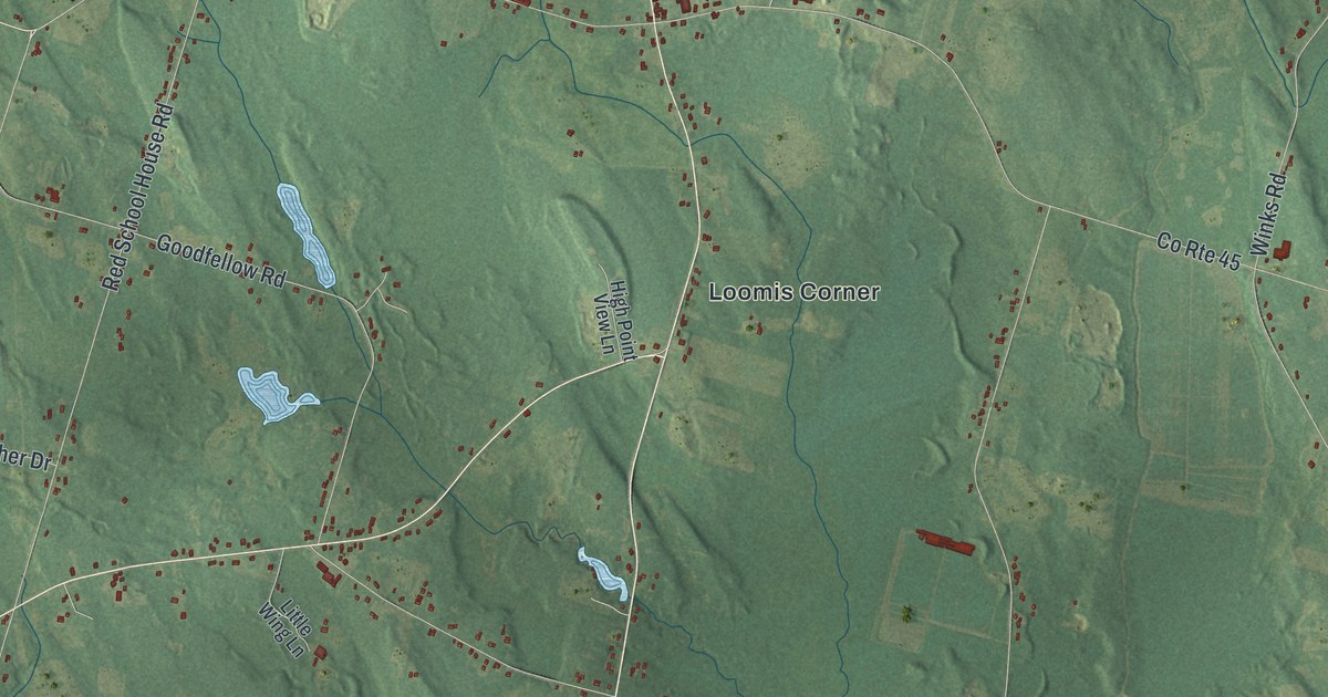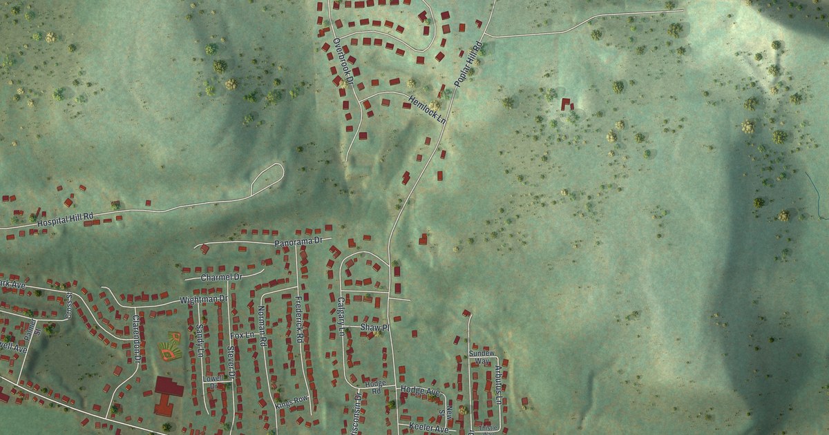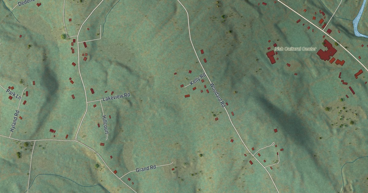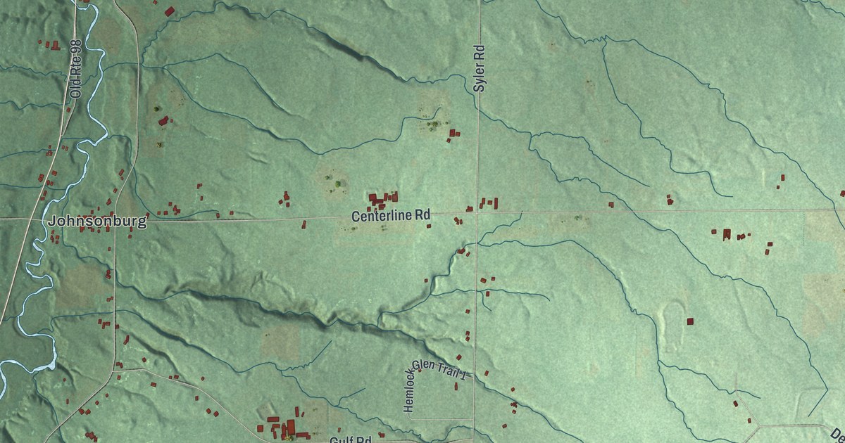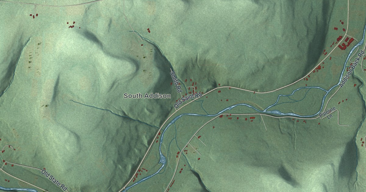
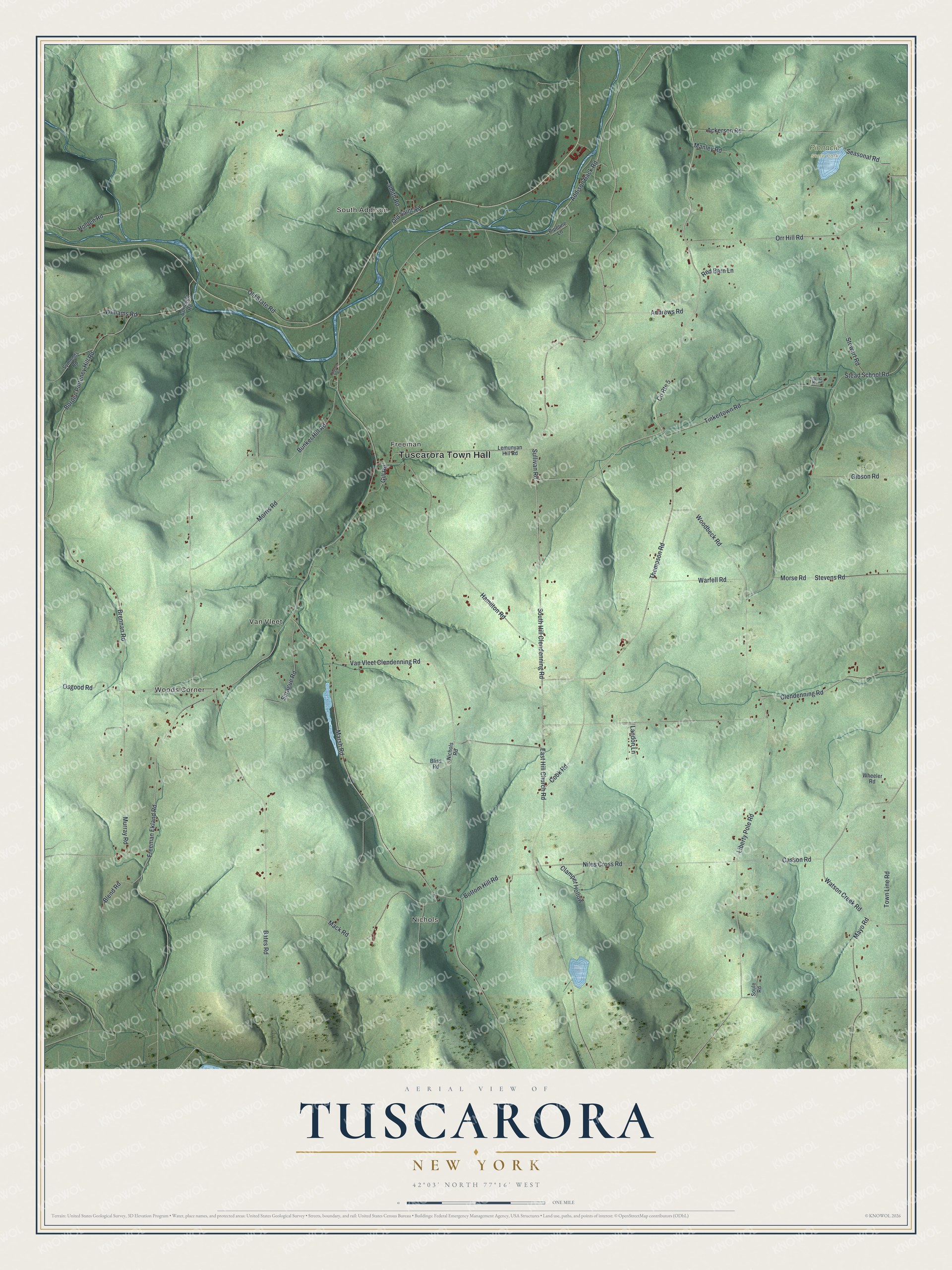
This beautifully detailed map of Tuscarora, New York was created in 2026 using aerial imagery combined with modern topographical, census, street and landmark data. It’s a one-of-a-kind view of Tuscarora that combines accurate data with a vintage aesthetic. The map shows every building in its true location, many of the roads carry their names, and the shaded topographic relief shows the shape of the land.
Explore an aerial view of Tuscarora, New York
On the map you’ll find Tuscarora Town Hall, South Addison, Nichols, Woods Corner, Van Vleet, Freeman, and Pinnacle State Park, along with Hill Clendenning Road, Tinkertown Road, Clendenning Road, Sullivan Road, and more. If you look closely you can even find your house accurately drawn in its correct location. Zoom in on the preview to look for yours.
Did You Know?
This Steuben County town carries the name of the Tuscarora people. Tuscarora became a town of its own in 1859, when it was split off from part of the neighboring town of Addison.
Take a closer look at the Tuscarora map
Names on this map
These names are printed on this map.
Places: Tuscarora Town Hall, South Addison, Nichols, Woods Corner, Van Vleet, Freeman and Pinnacle State Park.
Streets and roads: South Hill Clendenning Road, Tinkertown Road, Clendenning Road, County Route 5, Sullivan Road, Orr Hill Road, Addison Back Road, Casson Road, Ackerson Road, Osgood Road, Landon Lane, Freeman Ekland Road.
More street names, A to Z
Alyson Road, Andrews Road, Bates Road, Blend Road, Bliss Road, Borden Pulteney Hill Road, Bottom Hill Road, Brennan Road, Bunker Hill Road, Clampet Hollow, Cook Road, Cornwell Road, East Hill Church Road, Fir Lane, Gibson Road, Gill Road, Hamilton Road, Holden Road, Lemunyan Hill Road, Liberty Pole Road, Mack Road, Manley Road, Marsh Road, Mayo Road, Morris Road, Morse Road, Murray Road, Nichols Road, Niles Cross Road, Old Saint Road, Old State Road, Pipeline Lane, Red Barn Lane, Seasonal Road, Smith Road, Soule Road, Sprague Road, Stead School Road, Stevens Road, Stewart Road, Symonds Road, Thompson Road, Town Line Road, Van Vleet Clendenning Road, Warfell Road, Watson Creek Road, Wheeler Road, Williams Road, Woodbeck Road.
See it on a wall
The Tuscarora map as a framed print. Swipe for more.


This beautifully detailed map of Tuscarora makes an attractive addition to your office, library, or den, and it can even be used to teach children the geography and history of the area. It also makes a great gift for someone who left Tuscarora and still calls it home. When you’re done exploring, click here to get your copy of the Tuscarora map.