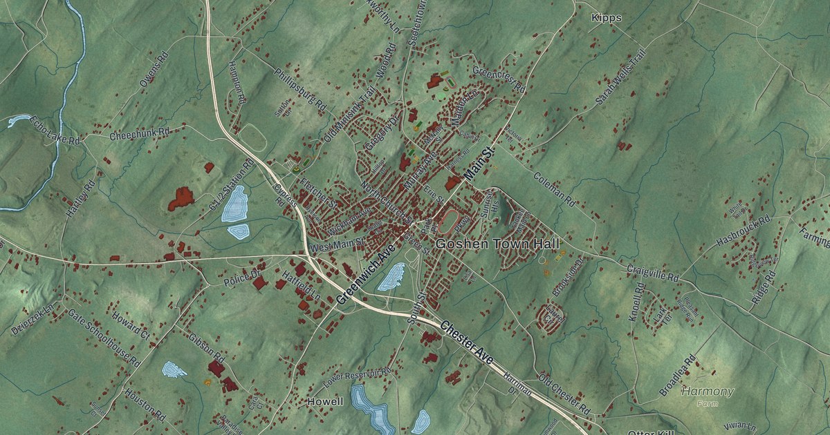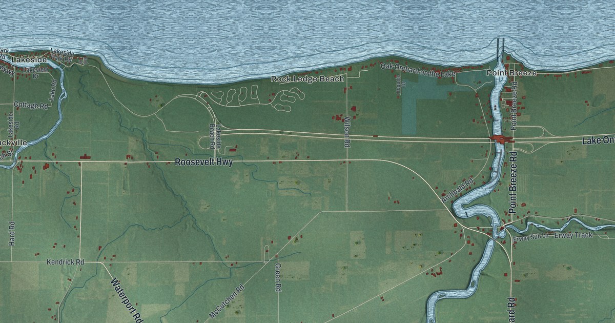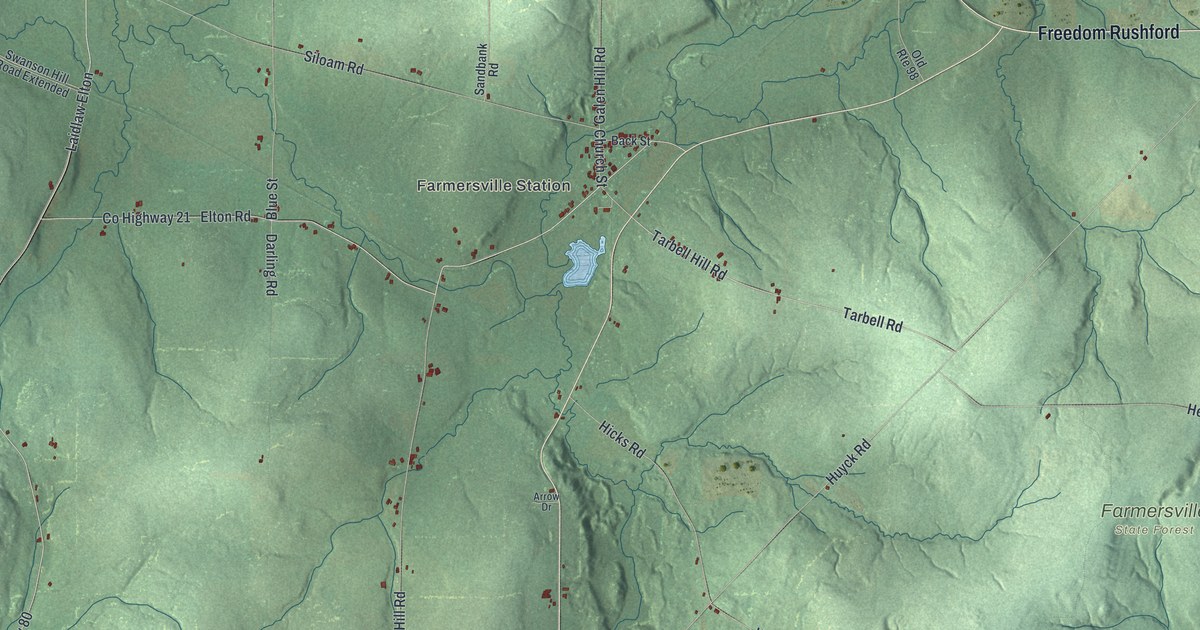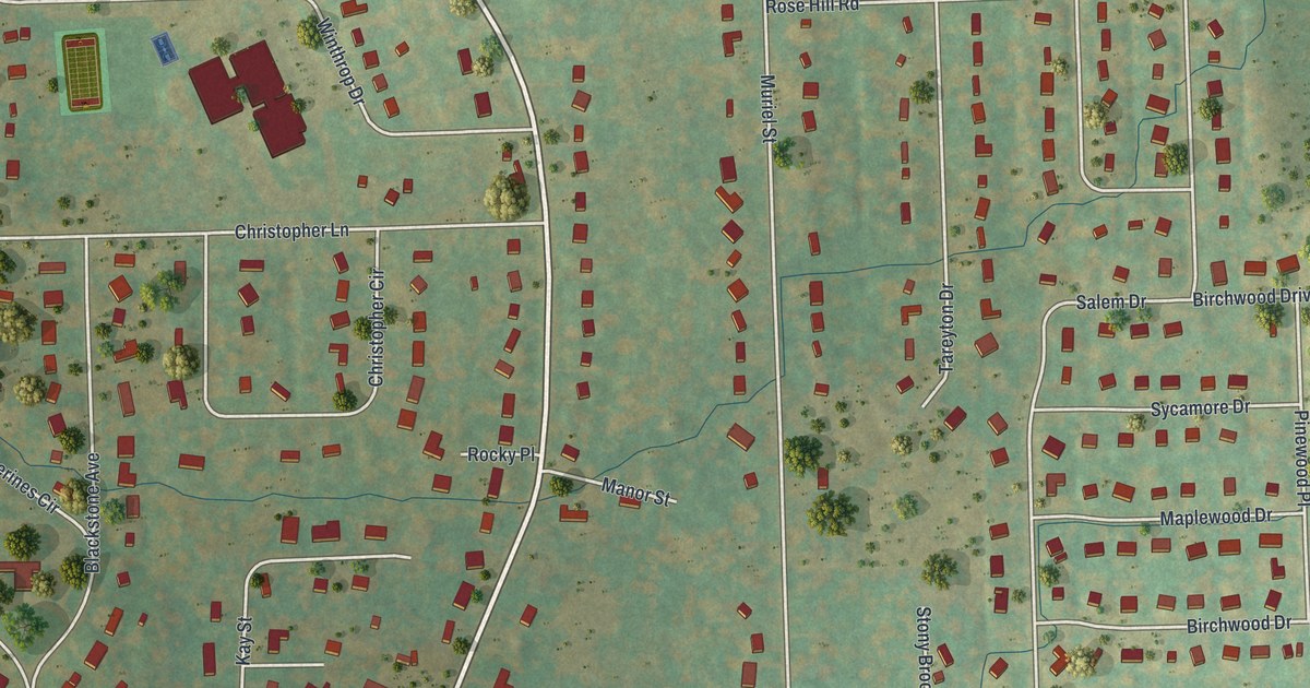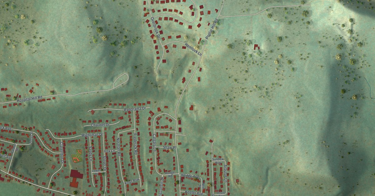
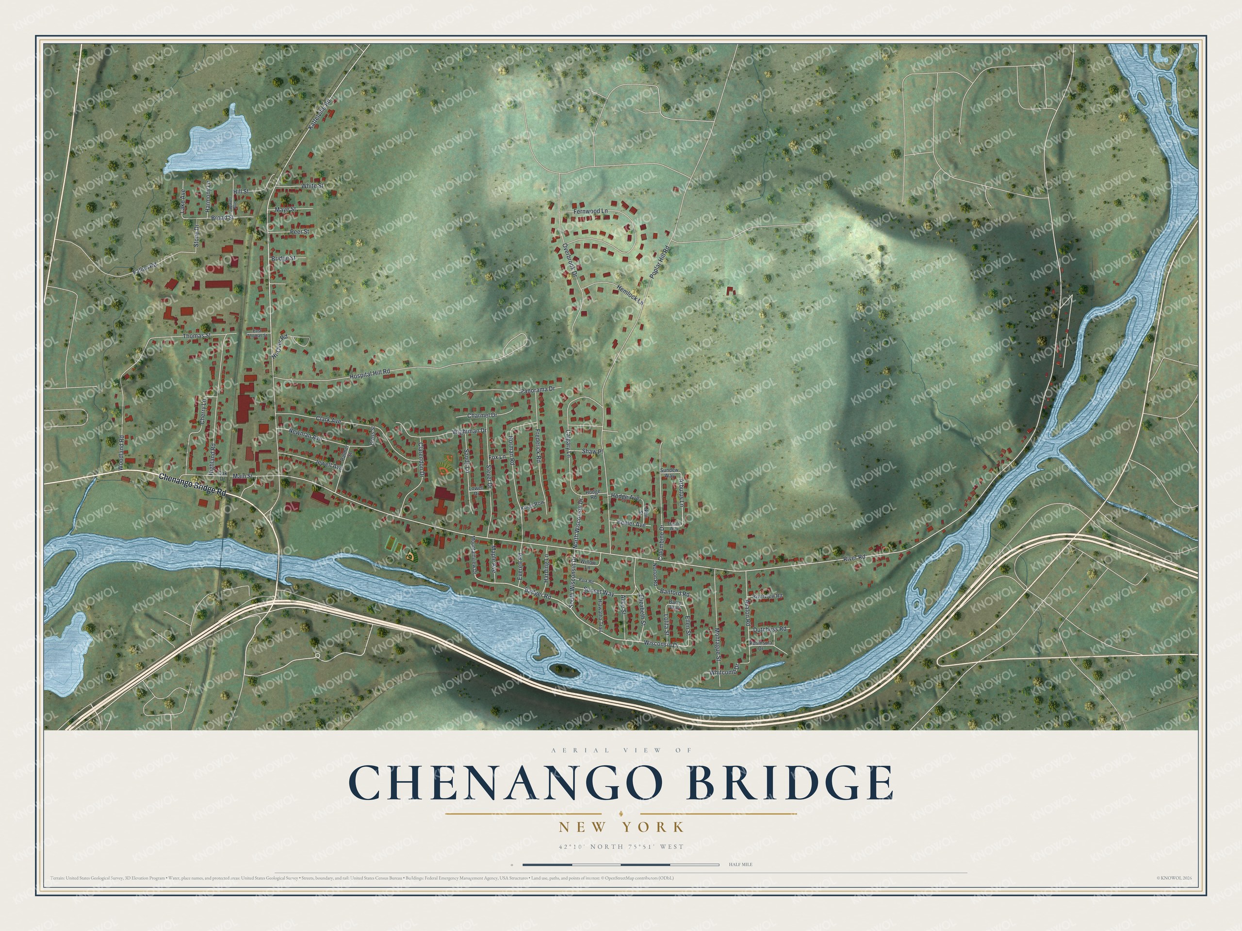
This beautifully detailed map of Chenango Bridge, New York was created in 2026 using aerial imagery combined with modern topographical, census, street and landmark data. It's a modern aerial view of Chenango Bridge in Broome County, New York, that combines modern data with a vintage aesthetic. The roads feature printed names, and if you look closely you can find your exact house accurately shown in its correct location.
Explore an aerial view of Chenango Bridge, New York
On this map you'll find Chenango Bridge Road, South Wisconsin Drive, North Wisconsin Drive, Wisconsin Drive, Badger Road, Arbutus Lane, River Road, Kattelville Road, Poplar Hill Road, Hospital Hill Road, Fernwood Lane, Clark Avenue, and more. Each red shape is a building, so zoom in on the preview and look for yours.
Chenango Bridge is a community in Broome County. The Census Bureau counted 2,884 people here in 2020. Chenango Bridge sits about 3 miles northeast of Port Dickinson, 6 miles northeast of Binghamton and 6 miles northeast of Johnson City. The map prints the town name in its title panel, with the coordinates below it.
Take a closer look at the Chenango Bridge map
Names on this map
These names are printed on this map.
Streets and roads: Chenango Bridge Road, South Wisconsin Drive, North Wisconsin Drive, Wisconsin Drive, Badger Road, Arbutus Lane, River Road, Kattelville Road, Poplar Hill Road, Hospital Hill Road, Fernwood Lane, Clark Avenue.
More street names, A to Z
Alice Street, Avalon Road, Banford Road, Barry Way, Bridge Street, Broad Street, Calgary Lane, Capwell Avenue, Charmel Drive, Cherry Lane, Clarendon Drive, Columbine Drive, Cross Street, Dutchess Road, East Thomas Street, Elizabeth Street, Ellen Street, Everett Road, Fallon Road, Fox Lane, Frederick Road, Harding Lane, Harmony Lane, Hemlock Lane, Hi-Over Road, Hiawatha Trail, Highland Road, Hill Street, Hodge Avenue, Hodge Road, Jewell Avenue, Keeler Avenue, Kings Row, Lake Avenue, Lolita Street, Lowell Drive, Main Street, Maple Avenue, Maye Street, Montague Street, Mountainview Drive, Newman Avenue, New Street, Norman Road, Norton Road, Oak Drive, Overbrook Drive, Palmer Street, Panorama Drive, Park Road, Peer Street, Peninsula Drive, Riverview Road, Sandy Lane, Shaw Place, Stever Drive, Stone Drive, Sundew Way, Sunset Way, Thistle Way, Thomas Street, Whitcomb Drive, White Street, Wightman Drive, Willow Lane, Woodland Road.
See it on a wall
The Chenango Bridge map as a framed print. Swipe for more.


Created by KNOWOL in 2026. The buildings are small red shapes, the roads carry their printed names, and shaded relief shows the shape of the land. The title panel reads "AERIAL VIEW OF CHENANGO BRIDGE, NEW YORK" with 42°10' NORTH 75°51' WEST.
Hang it in the hallway, the office or the cabin, or give it to someone who left Chenango Bridge and still calls it home. Open the preview and look for a street you know. See sizes and frames for the Chenango Bridge map.