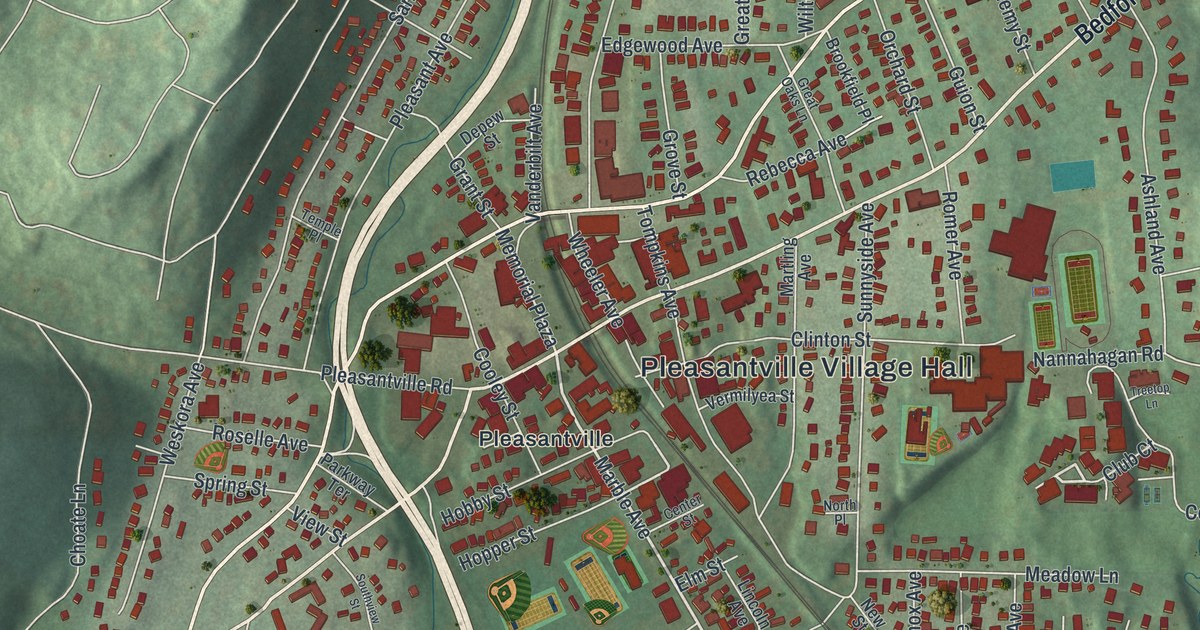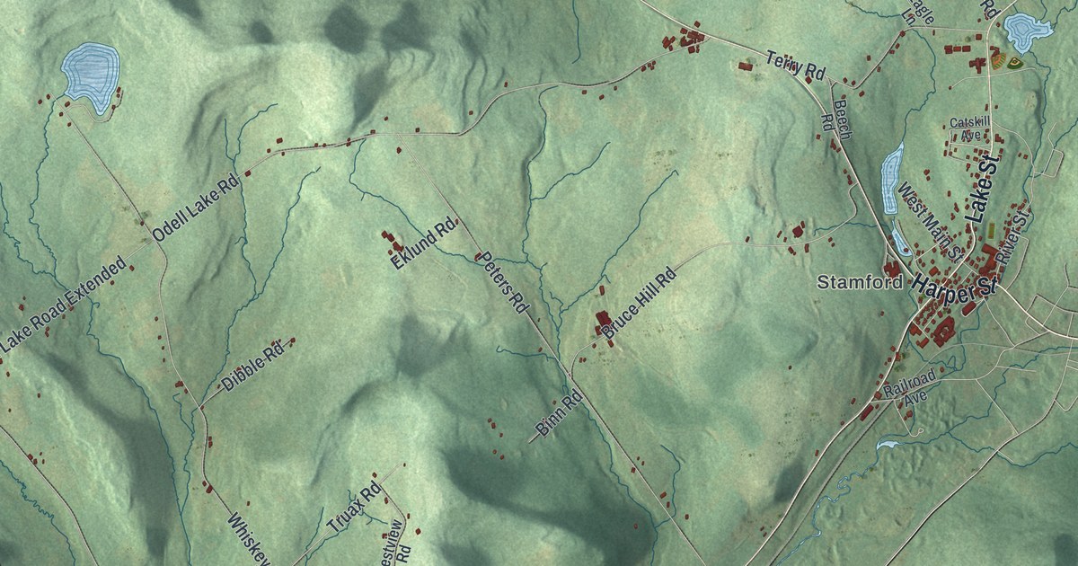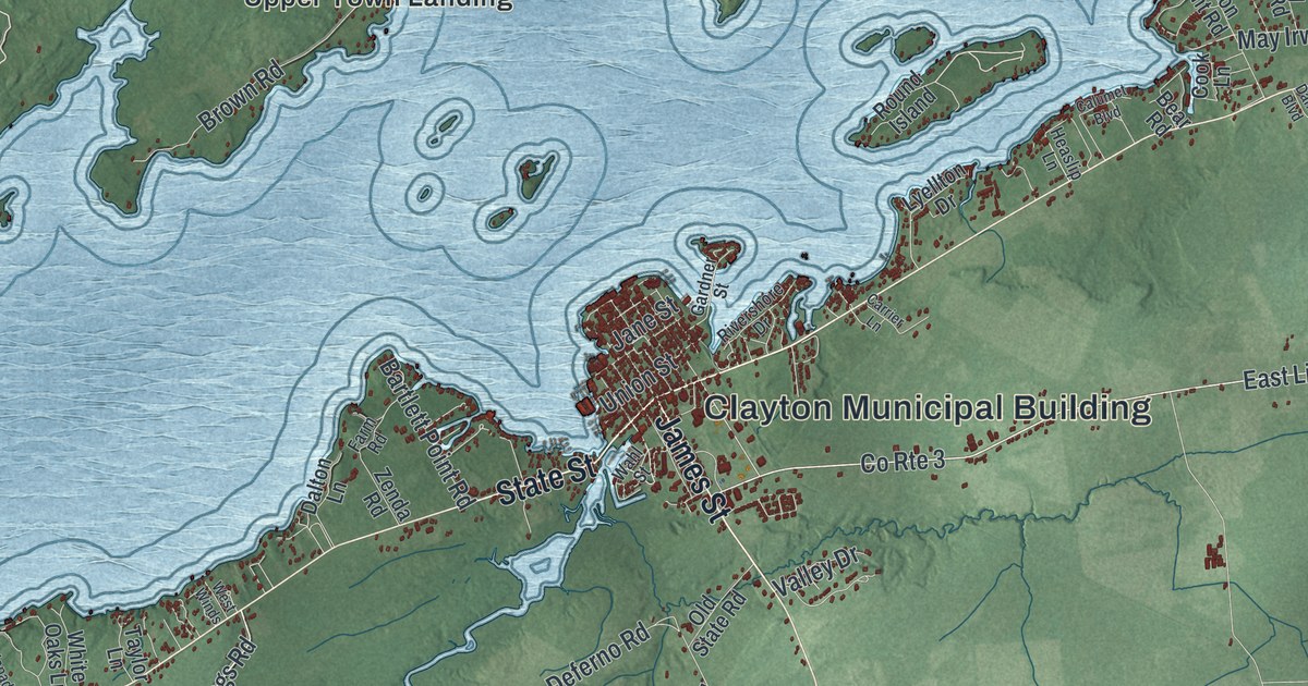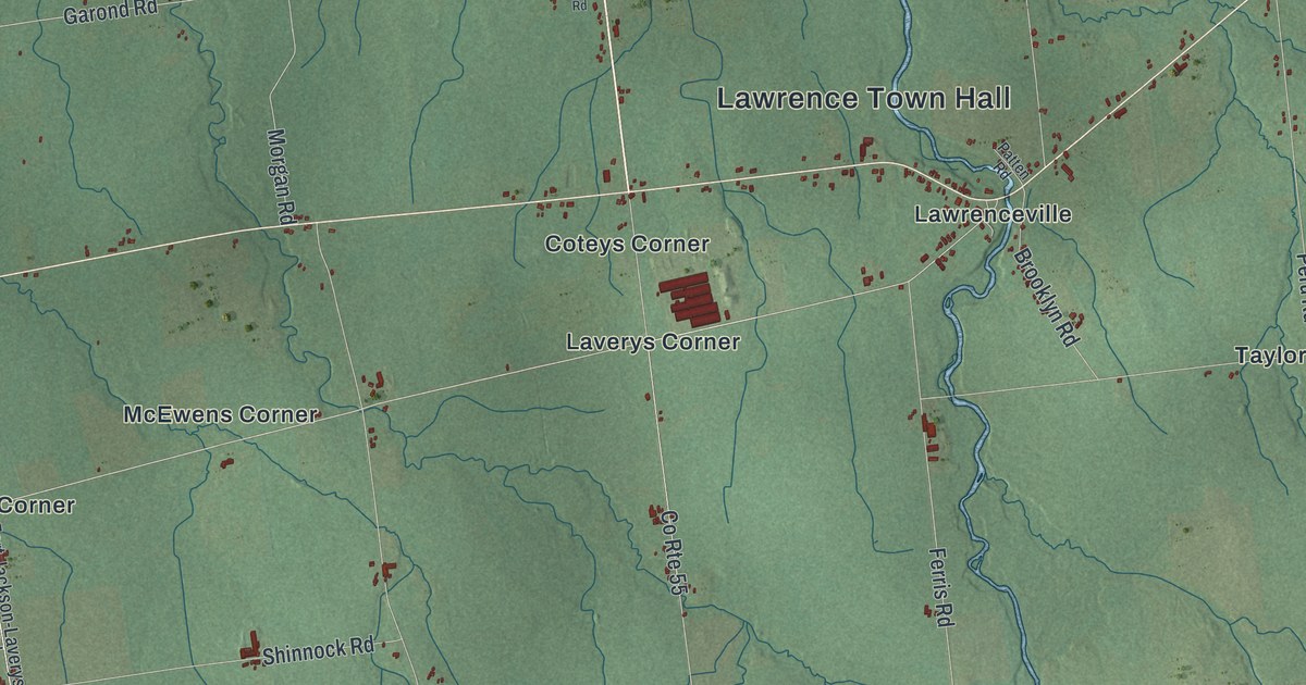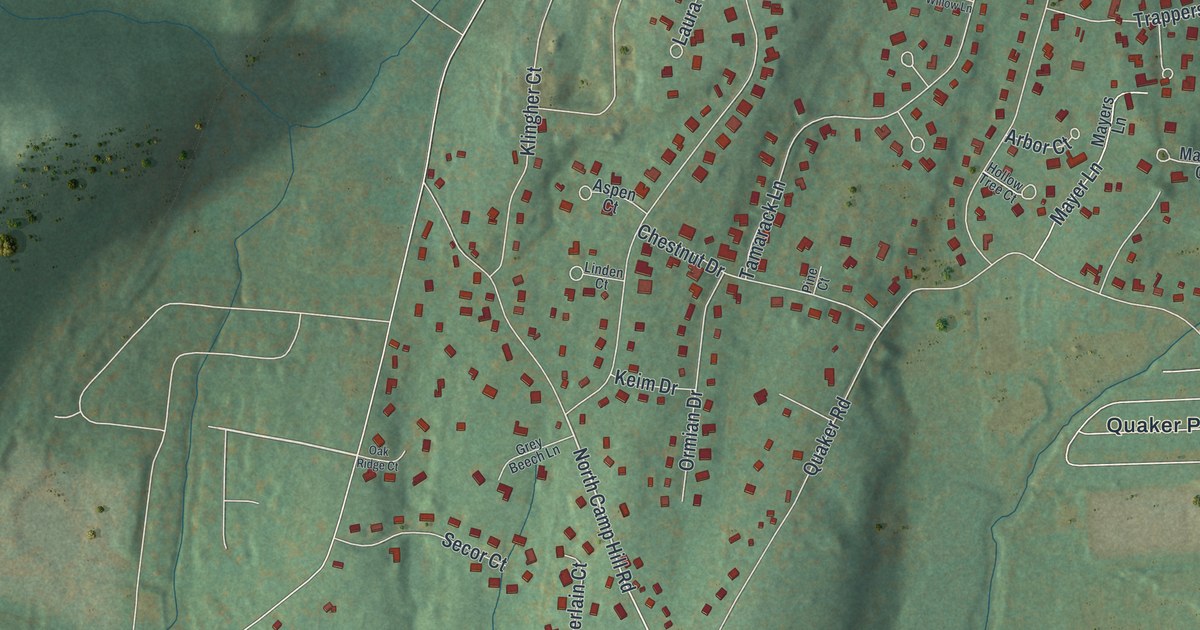
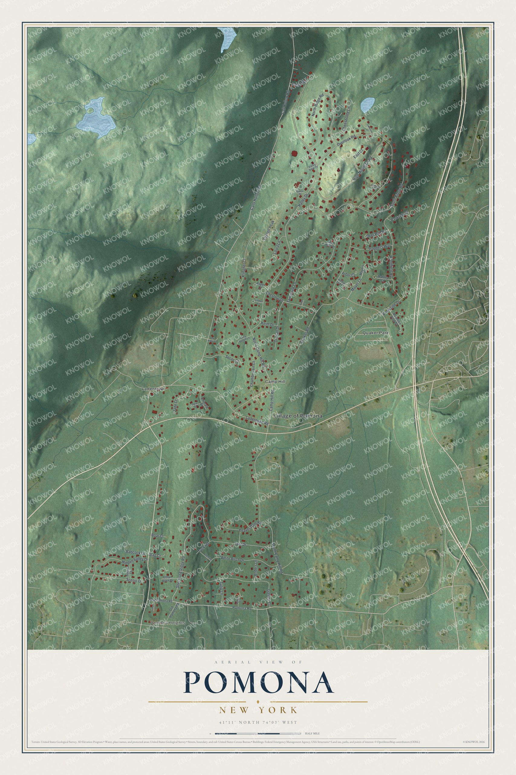
This beautifully detailed map of Pomona, New York was created in 2026 using aerial imagery combined with modern topographical, census, street and landmark data. It's a modern aerial view of Pomona in Rockland County, New York, that combines modern data with a vintage aesthetic. The roads feature printed names, and if you look closely you can find your exact house accurately shown in its correct location.
Explore an aerial view of Pomona, New York
On this map you'll find Village of Pomona, Pomona Heights, Quaker Park, Ladentown, Camp Hill, Ladentown Road, Pomona Road, Sherwood Ridge Road, North Camp Hill Road, Calls Hollow Road, Call Hollow Road, Halley Drive, and more. Each red shape is a building, so zoom in on the preview and look for yours.
Pomona is a village in Rockland County. The Census Bureau counted 3,824 people here in 2020. Pomona sits about 2 miles southwest of Thiells, 3 miles northeast of Wesley Hills and 3 miles north of New Hempstead. The map prints the town name in its title panel, with the coordinates below it.
Take a closer look at the Pomona map
Names on this map
These names are printed on this map.
Places: Village of Pomona, Pomona Heights, Quaker Park, Ladentown and Camp Hill.
Streets and roads: Ladentown Road, Pomona Road, Sherwood Ridge Road, North Camp Hill Road, Calls Hollow Road, Call Hollow Road, Halley Drive, Quaker Road, South Camp Hill Road, Tamarack Lane, Overlook Road, South Ridge Road.
More street names, A to Z
Anders Lane, Arbor Court, Aspen Court, Ayden Court, Babcock Lane, Beaver Dam Road, Boar Court, Brookside Drive, Camp Hill Road, Carbery Court, Chamberlain Court, Cheesecote Lane, Chestnut Drive, Cornell Peak, Deer Run Road, East Court, Emerald Drive, Ethan Allen Drive, France Drive, Galileo Court, Grey Beech Lane, Hidden Valley Drive, High Mountain Road, Hollow Tree Court, Jade Court, Keim Drive, Klingher Court, Lakeview Court, Laura Lane, Linden Court, Litman Lane, Lochsley Lane, Mabley Court, Mayer Lane, Mayers Lane, Mountain View Court, New Pomona Road, North Ridge Road, Oak Ridge Court, Old Pomona Road, Opal Court, Ormian Drive, Parkside Court, Pine Court, Scenic Drive, Secor Court, Stag Court, Sunset Terrace, Tara Drive, Trappers Way, Tuck Road, Tulip Lane, Valley View Court, Wavy Willow Lane, White Birch Drive, Woodfield Road, Woolf Road.
See it on a wall
The Pomona map as a framed print. Swipe for more.


Created by KNOWOL in 2026. The buildings are small red shapes, the roads carry their printed names, and shaded relief shows the shape of the land. The title panel reads "AERIAL VIEW OF POMONA, NEW YORK" with 41°11' NORTH 74°03' WEST.
It looks right in a kitchen, an office or a den, and it's a gift for anyone who grew up in Pomona or moved away. Open the preview and find your street. See sizes and frames for the Pomona map.