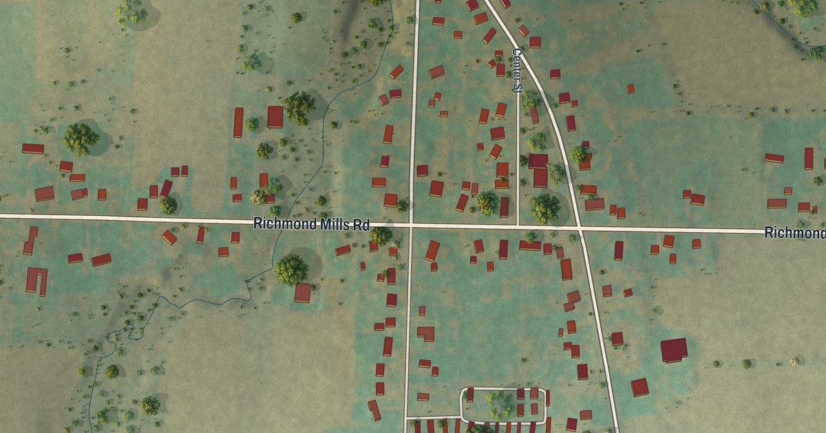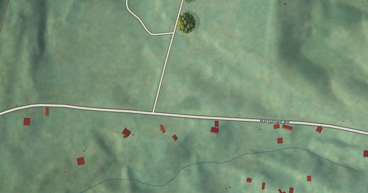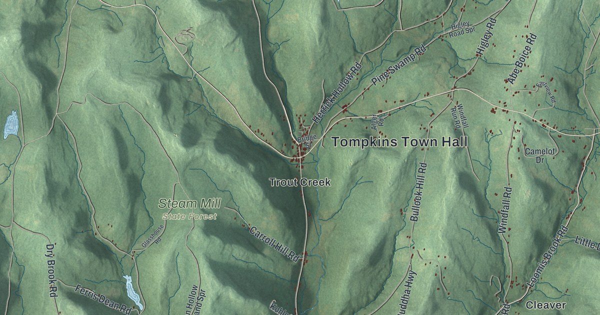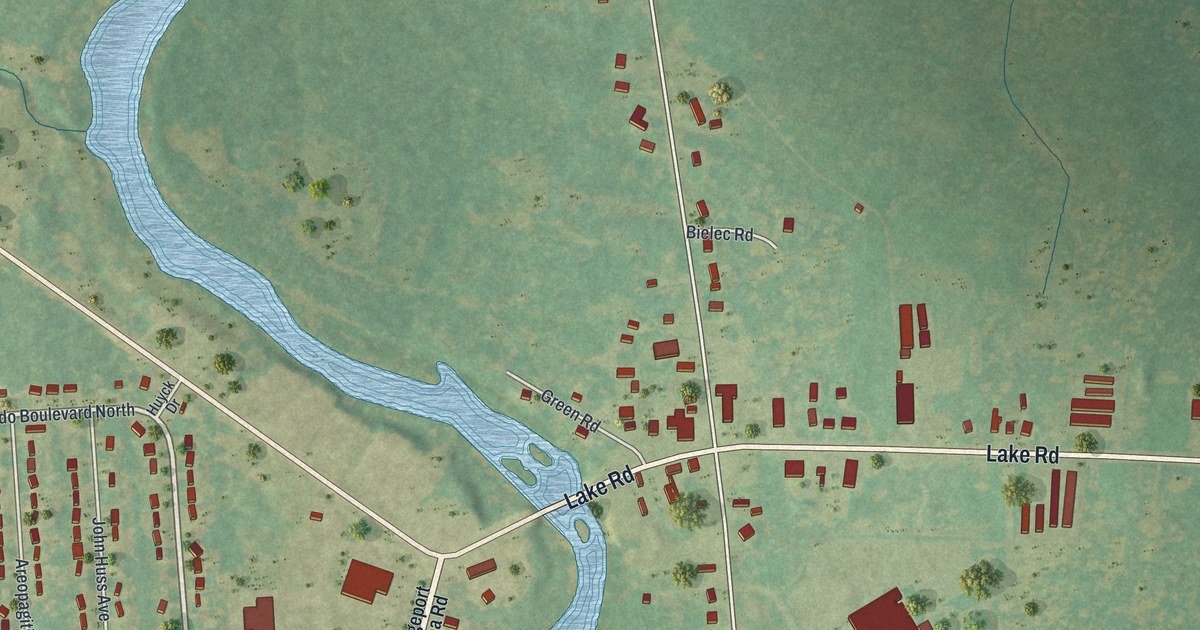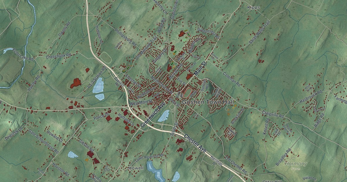
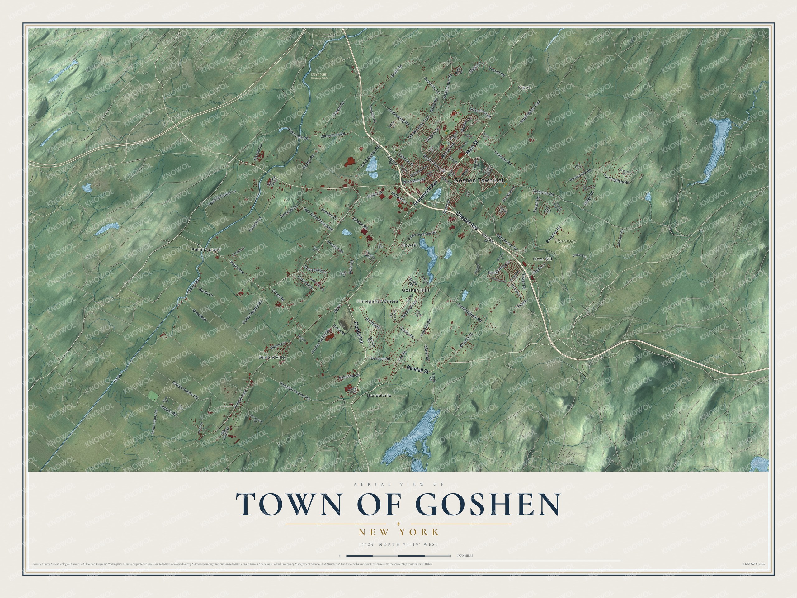
This beautifully detailed map of the Town of Goshen, New York was created in 2026 using aerial imagery combined with modern topographical, census, street and landmark data. It’s a one-of-a-kind view of the Town of Goshen that combines accurate data with a vintage aesthetic. The map shows every building in its true location, many of the roads carry their names, and the shaded topographic relief shows the shape of the land.
Explore an aerial view of the Town of Goshen, New York
On the map you’ll find Goshen Town Hall, Durlandville, Finnegans Corners, Goshen Hills, Howell, and Kipps, along with Florida Road, Greenwich Avenue, Main Street, Chester Avenue, and more. If you look closely you can even find your house accurately drawn in its correct location. Zoom in on the preview to look for yours.
Did You Know?
Goshen is the seat of Orange County. In 1940 it was known as the Epsom Downs of light harness racing. Each July and August, horse lovers jammed the roads, and rooms in town were hard to find. Many visitors ate at lunch counters clustered near the tracks. That’s from the 1940 WPA guide to New York.
Take a closer look at the Town of Goshen map
Names on this map
These names are printed on this map.
Places: Goshen Town Hall, Harmony Farm, West Hills Country Club, Durlandville, Finnegans Corners, Goshen Hills, Howell, Kipps, Otter Kill, Pellets Island and Randelville.
Streets and roads: Florida Road, Greenwich Avenue, Main Street, Chester Avenue, Randall Street, Maple Avenue, Pulaski Highway, Craigville Road, Reservoir Road, Cheechunk Road, Old Chester Road, South Street.
More street names, A to Z
Abbe Road, Arcadia Road, Autumn Trail, Axworthy Lane, Betsy Court, Big Island Road, Birchwood Drive, Breezeway Lane, Broadlea Road, Broadway, Brookside Drive, Cahill Drive, Cannon Hill Drive, Cara Court, Cedar Swamp Road, Celery Avenue, Cherrywood Drive, Clarke Road, Clark Road, Coleman Road, Colonial Drive, Conklingtown Road, Cross Road, Cypress Road, Danielle Drive, Ditch, Durland Road, Dzierzek Lane, East Street, Echo Lake Road, Erie Street, Everett Road, Farmcross Way, Farmingdale Road, Fischer Lane, Fletcher Street, Fort Hill Road, Fox Road, Gate Schoolhouse Road, Gibson Road, Goelet Road, Greencrest Road, Green Street, Gregory Drive, Gumwood Drive, Gurda Lane, Hampton Road, Harness Road, Harriman Drive, Hartley Road, Hasbrouck Road, Hatfield Lane, Hilltop Drive, Houston Road, Howard Court, Indiana Road, Industrial Drive, Iris Road, Jessup Switch Road, Johnson Road, Knoell Road, Korycki Lane, Lakeview Drive, Lark Terrace, Laurel Circle, Lawrence Lane, Lisa Lane, Lower Reservoir Road, Madura Lane, Maiden Lane, Maloney Lane, McNally Street, Murray Avenue, North Church Street, Northgate, Old Minisink Trail, Orzeck Lane, Owens Road, Paradise Valley Lane, Park Place, Parkway, Peach, Phillipsburg Road, Pinewood Lane, Pleasant Ridge Run, Police Drive, Pumpkin Swamp Road, Quarry Road, Remee Plaza, Ridge Road, Ridgeview Terrace, Ruby Lane, Ryerson Avenue, Sarah Wells Trail, Scolza Terrace, Scotchtown Road, Shale Lane, Sleepy Hollow Road, Smith Road, South Indiana Road, Spruce Hill Lane, Strack Road, Sunrise Heights, Sunset Court, Sutton Lane, Tower Road, Training Center Lane, Trotter Circle, Valley View Road, Vetri Road, Victoria Terrace, Virginia Lane, Vivian Lane, Wedgewood Drive, West Main Street, West Street, White Tail Drive, Wickham Avenue, Wisniewski Road, Wood Road, Yankee Maid Lane.
See it on a wall
The Goshen map as a framed print. Swipe for more.


This beautifully detailed map of the Town of Goshen makes an attractive addition to your office, library, or den, and it can even be used to teach children the geography and history of the area. It also makes a great gift for anyone who grew up in the Town of Goshen or moved away. When you’re done exploring, click here to get your copy of the Town of Goshen map.