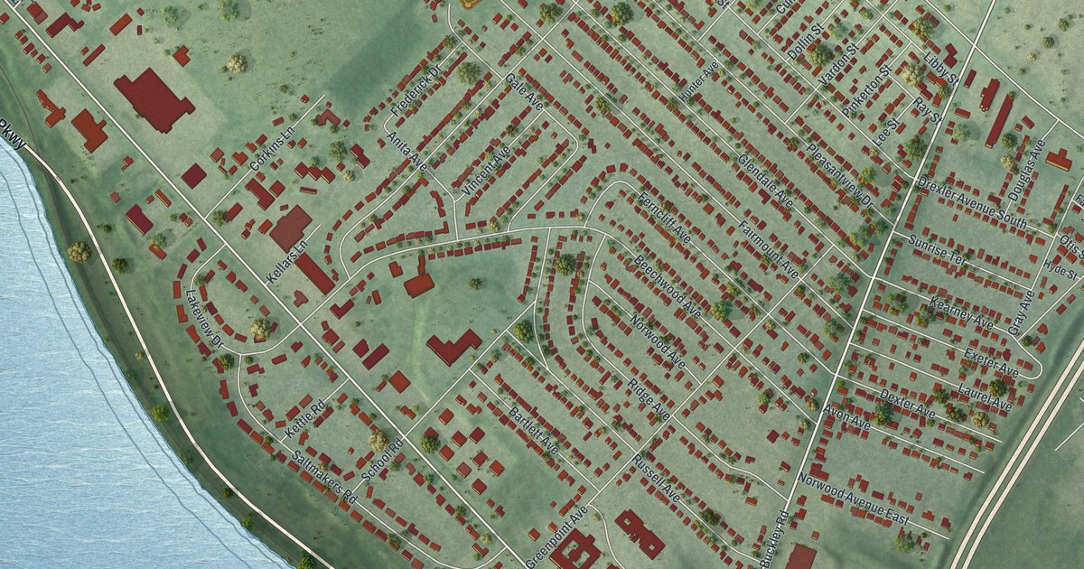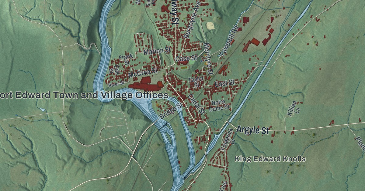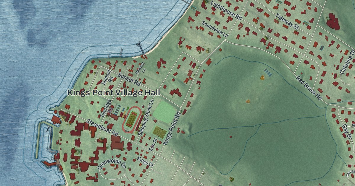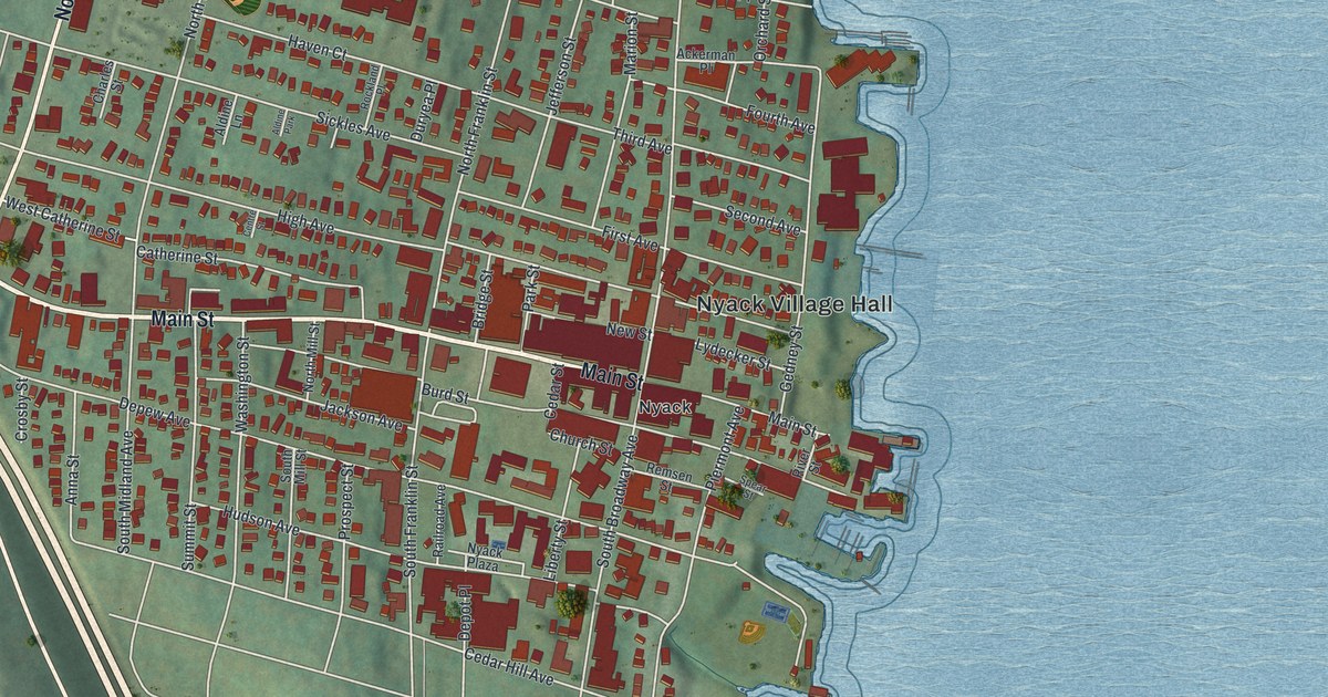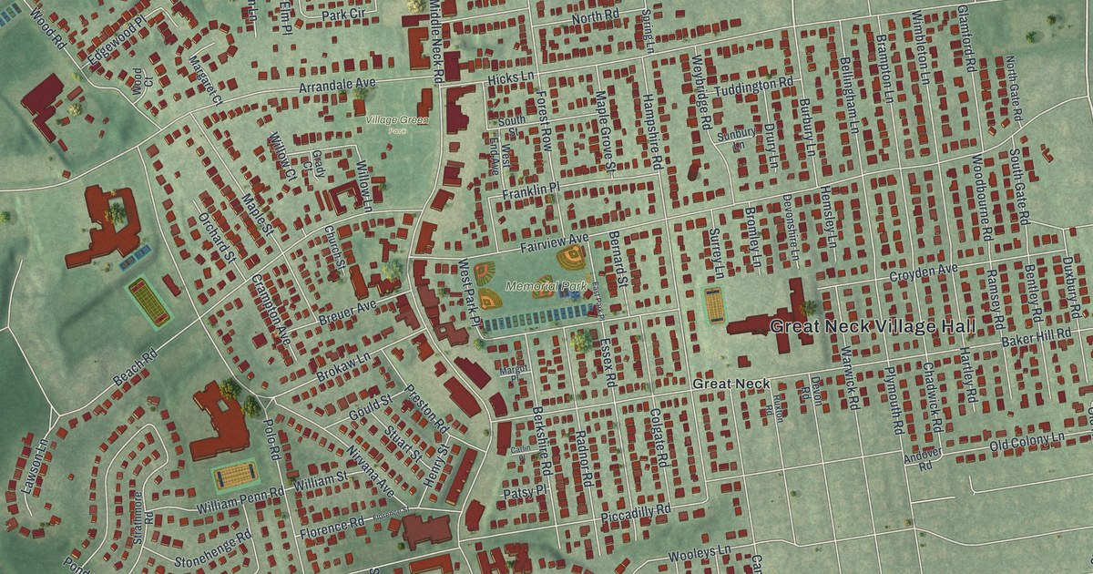
This beautifully detailed map of Great Neck, New York was created in 2026 using aerial imagery combined with modern topographical, census, street and landmark data. It’s a one-of-a-kind view of Great Neck that combines accurate data with a vintage aesthetic. The map shows every building in its true location, many of the roads carry their names, and the shaded topographic relief shows the shape of the land.
Explore an aerial view of Great Neck, New York
On the map you’ll find Great Neck Village Hall, Memorial Park, and Village Green Park, along with Station Road, Oxford Boulevard, Middle Neck Road, Steamboat Road, and more. If you look closely you can even find your house accurately drawn in its correct location. Zoom in on the preview to look for yours.
Take a closer look at the Great Neck map
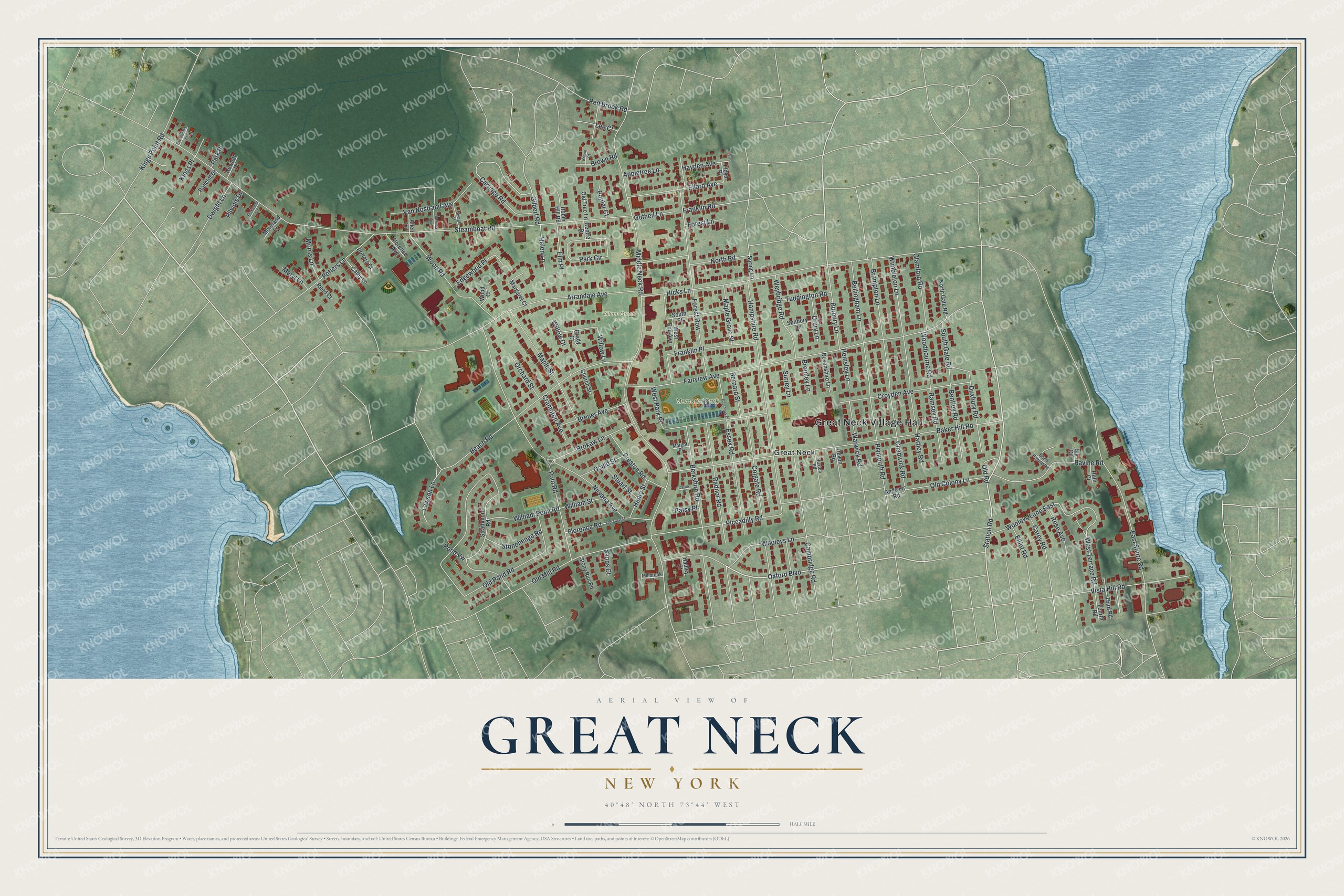
Names on this map
These names are printed on this map.
Places: Great Neck Village Hall, Memorial Park, Village Green Park and Great Neck.
Streets and roads: Station Road, Oxford Boulevard, Middle Neck Road, Steamboat Road, Baker Hill Road, Fairview Avenue, Hampshire Road, Old Pond Road, Hicks Lane, Polo Road, Croyden Avenue, Beach Road.
More street names, A to Z
Allen Lane, Andover Road, Appletree Lane, Arrandale Avenue, Bellingham Lane, Bentley Road, Berkshire Road, Bernard Street, Bly Court, Brampton Lane, Breuer Avenue, Brokaw Lane, Bromley Lane, Brown Court, Brown Road, Burbury Lane, Cambridge Road, Carey Road, Carlin Place, Carriage Road, Cathy Lane, Centre Drive, Chadwick Road, Church Street, Colgate Road, Cornelia Avenue, Crampton Avenue, Crestwood Place, Devon Road, Devonshire Lane, Drury Lane, Duxbury Road, Dwight Lane, East Park Place, East Shore Road, Edgewood Place, Ellard Avenue, Elliot Road, Elm Place, Essex Road, Florence Avenue, Florence Road, Florence Street, Floyd Place, Forest Lane, Forest Row, Fourth Road, Franklin Place, Franklin Road, George Street, Gilbert Road, Glamford Road, Gould Street, Grady Court, Gutheil Lane, Hadley Court, Hartley Road, Hayden Avenue, Helen Lane, Hemsley Lane, Henry Street, Hewlett Place, Kings Place, Kings Point Road, Lawson Lane, Lee Court, Maple Grove Street, Maple Street, Margaret Court, Margot Place, Meryl Lane, Millbrook Court, Moreland Court, Morris Lane, Nirvana Avenue, North Gate Road, North Ravine Road, North Road, Old Colony Lane, Old Mill Road, Old Road, Old Tree Lane, Orchard Street, Park Circle, Park Place, Patsy Place, Piccadilly Road, Pickwood Lane, Pilvinis Drive, Plymouth Road, Pond Vw, Poplar Court, Potters Court, Potters Lane, Preston Road, Radcliff Drive, Radnor Road, Ramsey Road, Ravine Road, Red Brook Road, Reed Court, Robin Hill Road, Rose Avenue, Ruth Court, Ruxton Road, Sands Court, South Gate Road, South Street, Spring Lane, Stonehenge Road, Stony Run Road, Strathmore Road, Stuart Street, Sunbury Lane, Surrey Lane, Third Road, Tuddington Road, Van Nostrand Avenue, Vista Hill Road, Warwick Road, West End Avenue, West Park Place, West Terrace Road, Weybridge Road, William Penn Road, William Street, Willow Court, Willow Lane, Wimbleton Lane, Woodbourne Road, Wood Court, Wood Road, Wooleys Lane, Wooleys Lane East.
See it on a wall
The Great Neck map as a framed print. Swipe for more.


This beautifully detailed map of Great Neck makes an attractive addition to your office, library, or den, and it can even be used to teach children the geography and history of the area. It also makes a great gift for anyone with Great Neck roots. When you’re done exploring, click here to get your copy of the Great Neck map.