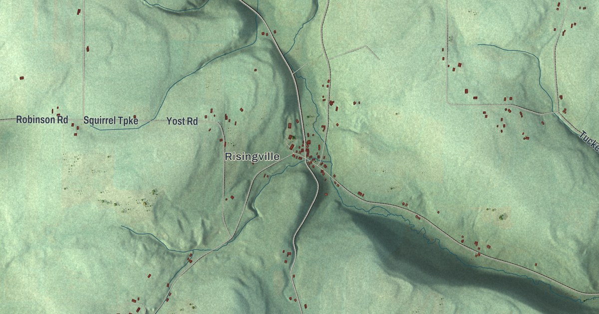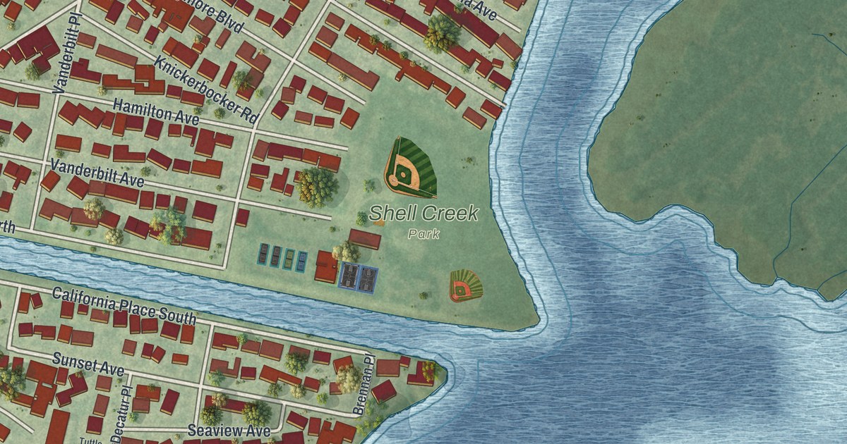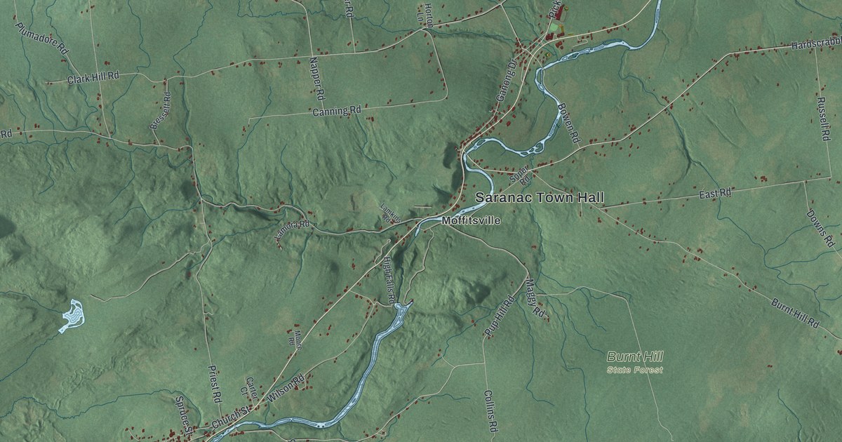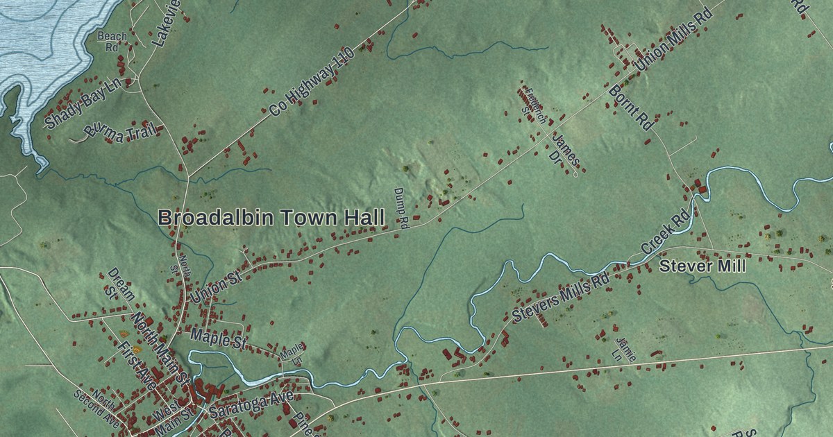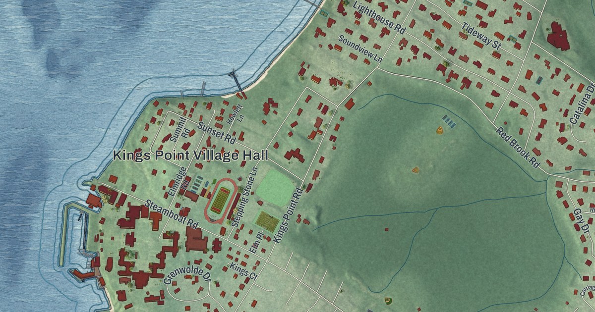
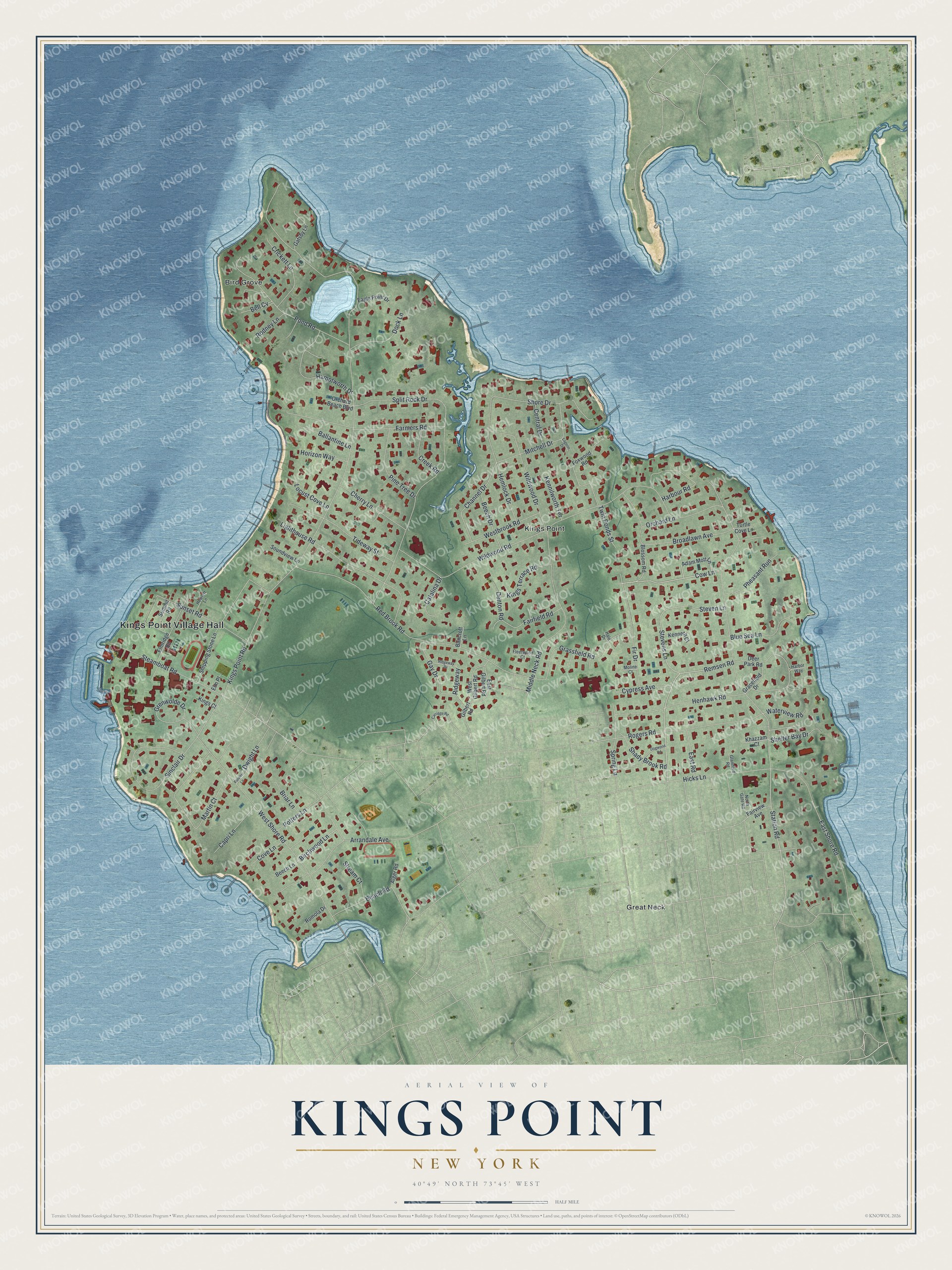
This beautifully detailed map of Kings Point, New York was created in 2026 using aerial imagery combined with modern topographical, census, street and landmark data. It’s a one-of-a-kind view of Kings Point that combines accurate data with a vintage aesthetic. The map shows every building in its true location, many of the roads carry their names, and the shaded topographic relief shows the shape of the land.
Explore an aerial view of Kings Point, New York
On the map you’ll find Kings Point Village Hall, Bird Grove, and Great Neck, along with Cow Lane, Remsen Road, Station Road, Birchwood Lane, and more. If you look closely you can even find your house accurately drawn in its correct location. Zoom in on the preview to look for yours.
Did You Know?
Kings Point is named for the King family, who owned large parts of the land here. In 1942 the federal government acquired land in the village as the permanent home of the U.S. Merchant Marine Academy. Walter P. Chrysler’s old Gold Coast estate became part of the campus. President Franklin Roosevelt dedicated the school in 1943.
Take a closer look at the Kings Point map
Names on this map
These names are printed on this map.
Places: Kings Point Village Hall, Bird Grove, Great Neck and Kings Point.
Streets and roads: Cow Lane, Remsen Road, Station Road, Birchwood Lane, East Shore Road, Kings Point Road, Red Brook Road, West Shore Road, Split Rock Drive, Sinclair Drive, Middle Neck Road, Beach Road.
More street names, A to Z
Adam Mott Lane, Alger Road, Arrandale Avenue, Ballantine Lane, Bancroft Lane, Beech Drive, Beech Lane, Bell Cv, Blossom Road, Blue Sea Lane, Briar Lane, Broadlawn Avenue, Capri Lane, Carriage Road, Catalina Drive, Central Drive, Channel Drive, Cherry Lane, Cove Lane, Creek Road, Crickett Lane, Cypress Avenue, Deer Park Road, Denton Road, Dock Lane, Dogwood Road, Dwight Lane, Eagle Point Drive, East Gilbert Road, East Road, Elm Place, Elmridge Road, Fairfield Road, Fairview Avenue, Farmers Road, Fir Drive, Fleetwood Court, Flower Lane, Foxwood Road, Gatsby Lane, Gay Drive, Gilbert Road, Glamford Road, Gracefield Drive, Grassfield Road, Grenwolde Drive, Hale Drive, Hamptworth Drive, Harbor Way, Harbour Road, Hemlock Drive, Henhawk Road, Hewlett Lane, Hicks Lane, Horizon Way, Kenneth Court, Kennilworth Terrace, Khazzam Court, Kings Court, Kings Terrace Road, Lagoon Drive, Lighthouse Road, Locust Cove Lane, Martin Court, Mitchell Drive, Moline Court, North Gate Road, Orchard Beach Boulevard, Orchard Lane, Pheasant Run, Pine Tree Drive, Pond Road, Potters Lane, Ridgeway, Ridgeway Drive, Rodney Lane, Rogers Road, Romola Drive, Shady Brook Road, Shelter Bay Drive, Shore Drive, Soundview Lane, Spring Lane, Steamboat Road, Stepping Stone Lane, Steven Lane, Stevens Lane, Stream Court, Summit Road, Sunset Road, Tideway Street, Turtle Cove Lane, Twin Ponds Street, Waterview Road, Westbrook Road, West Gilbert Road, Wildwood Drive, Wildwood Road.
See it on a wall
The Kings Point map as a framed print. Swipe for more.


This beautifully detailed map of Kings Point makes an attractive addition to your office, library, or den, and it can even be used to teach children the geography and history of the area. It also makes a great gift for anyone who grew up in Kings Point or moved away. When you’re done exploring, click here to get your copy of the Kings Point map.