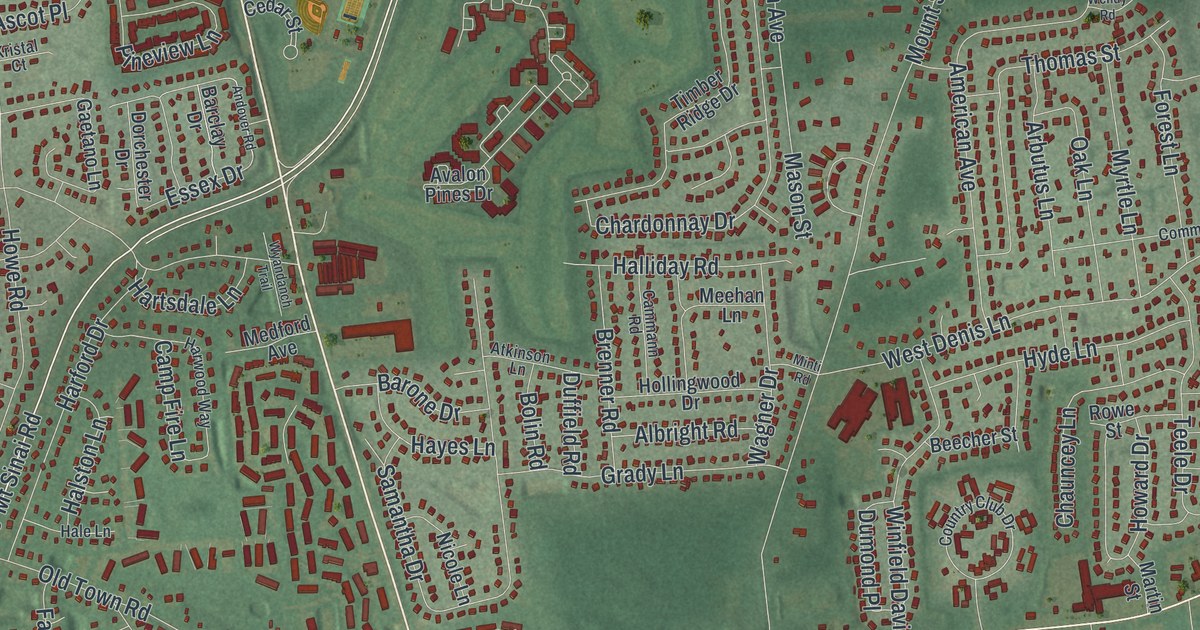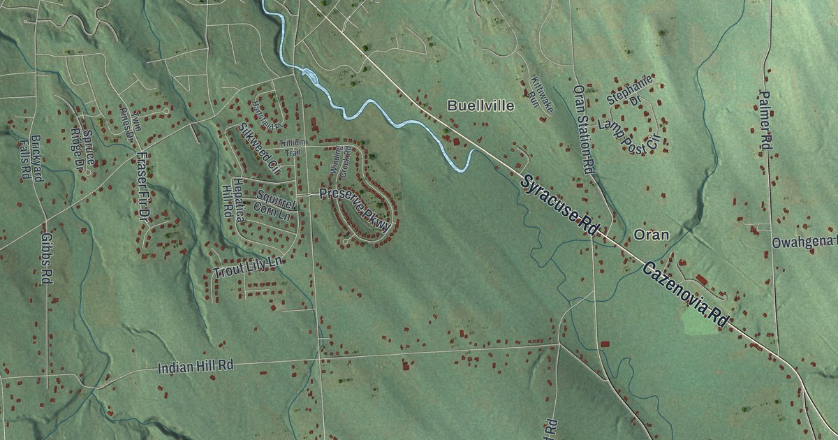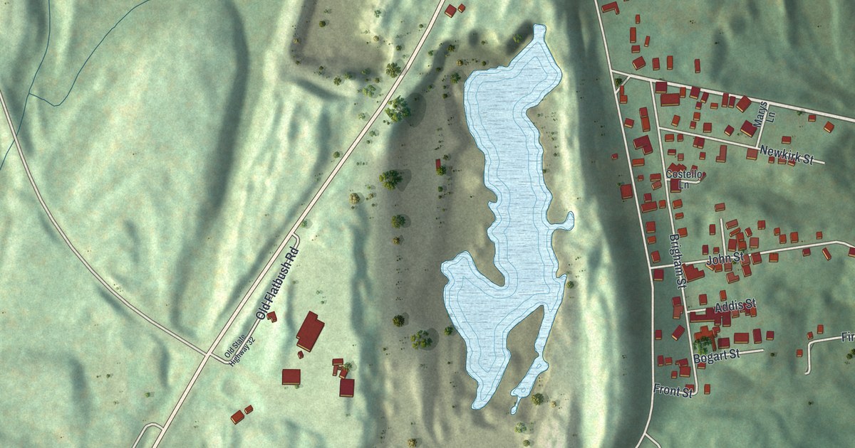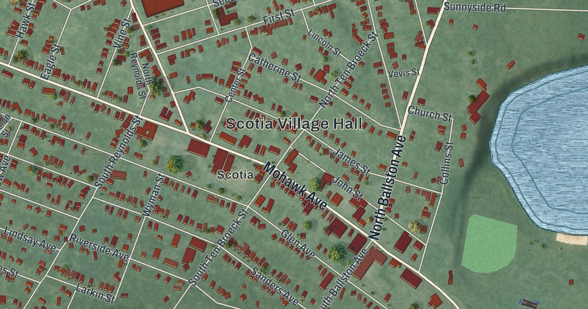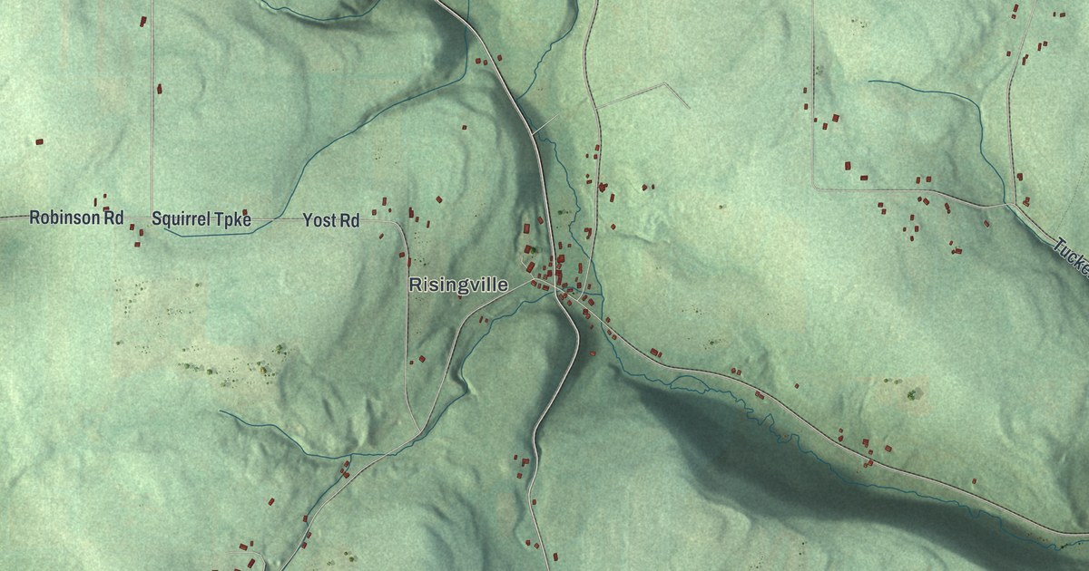
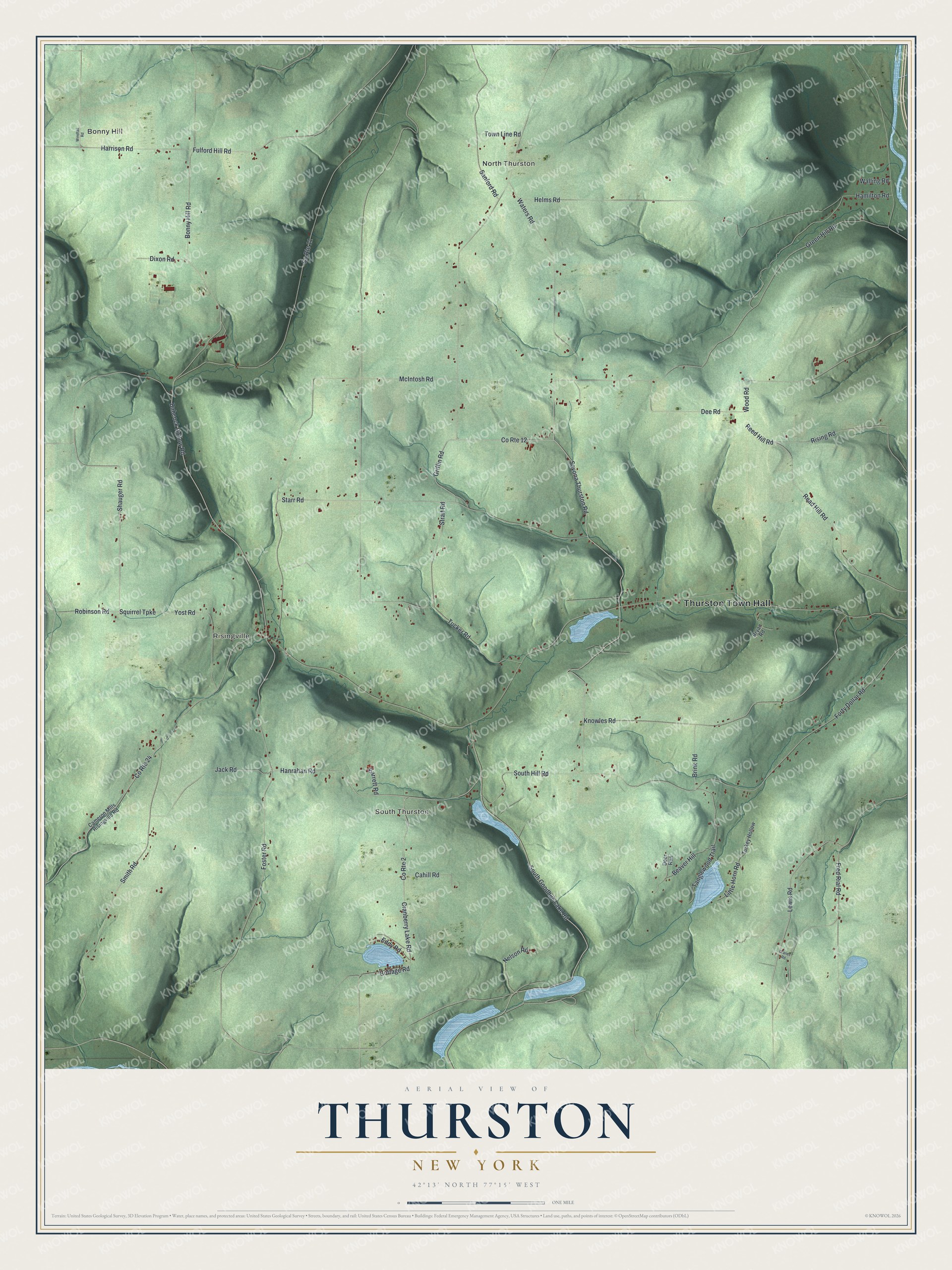
This beautifully detailed map of Thurston, New York was created in 2026 using aerial imagery combined with modern topographical, census, street and landmark data. It’s a one-of-a-kind view of Thurston that combines accurate data with a vintage aesthetic. The map shows every building in its true location, many of the roads carry their names, and the shaded topographic relief shows the shape of the land.
Explore an aerial view of Thurston, New York
On the map you’ll find Thurston Town Hall, Bonny Hill, North Thurston, South Thurston, and Risingville, along with Hanrahan Road, Griffin Road, Shauger Road, Babcock Hollow Road, and more. If you look closely you can even find your house accurately drawn in its correct location. Zoom in on the preview to look for yours.
Did You Know?
Thurston takes its name from William Thurston, one of the early landowners here. Settlers first arrived around 1813. The town was formed out of the Town of Cameron in 1844.
Take a closer look at the Thurston map
Names on this map
These names are printed on this map.
Places: Thurston Town Hall, Bonny Hill, North Thurston, South Thurston and Risingville.
Streets and roads: Hanrahan Road, Griffin Road, Shauger Road, County Route 12, Babcock Hollow Road, Squirrel Turnpike, South Goodhue Lake Road, Dee Road, Savona Thurston Road, Lewis Road, Rising Road, Starr Road.
More street names, A to Z
Barrett Road, Beaver Hill, Bonny Hill Road, Brink Road, Bryan Road, Cahill Road, Cameron Mills Risingville Road, Cottage Road, County Route 2, County Route 11, County Route 24, Cranberry Lake Road, Cranes Road, Deer Run, Dixon Road, Eddy Road, Forty Dollar Road, Foster Road, Fred Rial Road, Fulford Hill Road, Green Hill Road, Hamilton Road, Harrison Road, Helms Road, Jack Road, Knowles Road, Little Horn Road, McIntosh Road, Nelson Road, Read Hill Road, Reed Hill Road, Robinson Road, Sanford Road, Smith Road, South Hill Road, Strait Road, Tanglewood Trail, Town Line Road, Tucker Road, Turkey Hollow, Walling Road, Waters Road, Windfall Road, Wood Road, Yost Road.
See it on a wall
The Thurston map as a framed print. Swipe for more.


This beautifully detailed map of Thurston makes an attractive addition to your office, library, or den, and it can even be used to teach children the geography and history of the area. It also makes a great gift for anyone with Thurston roots. When you’re done exploring, click here to get your copy of the Thurston map.