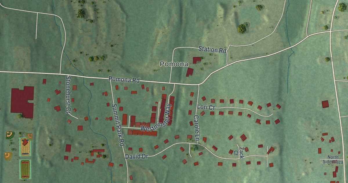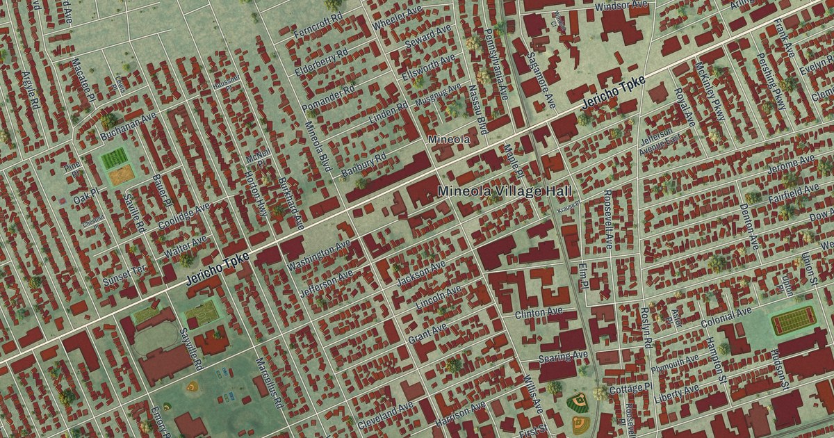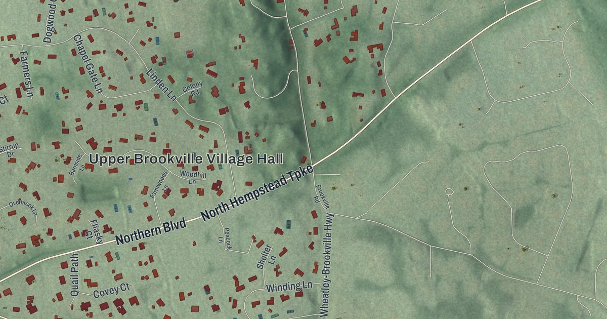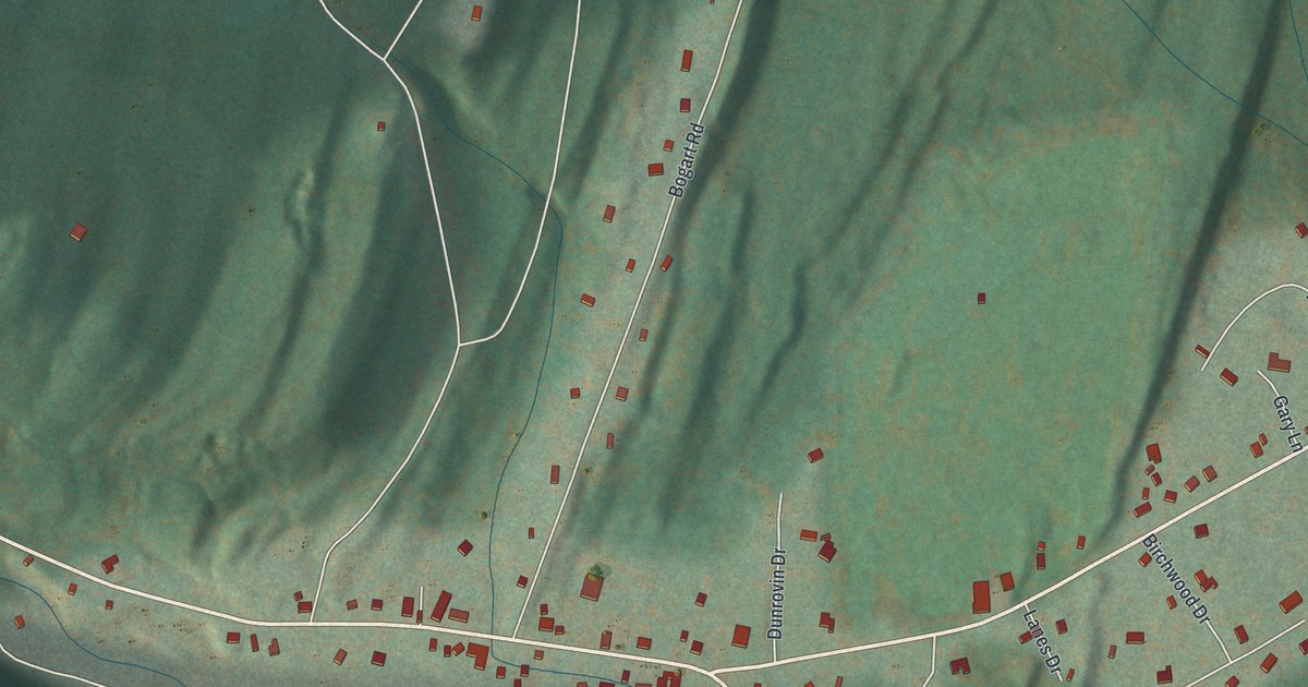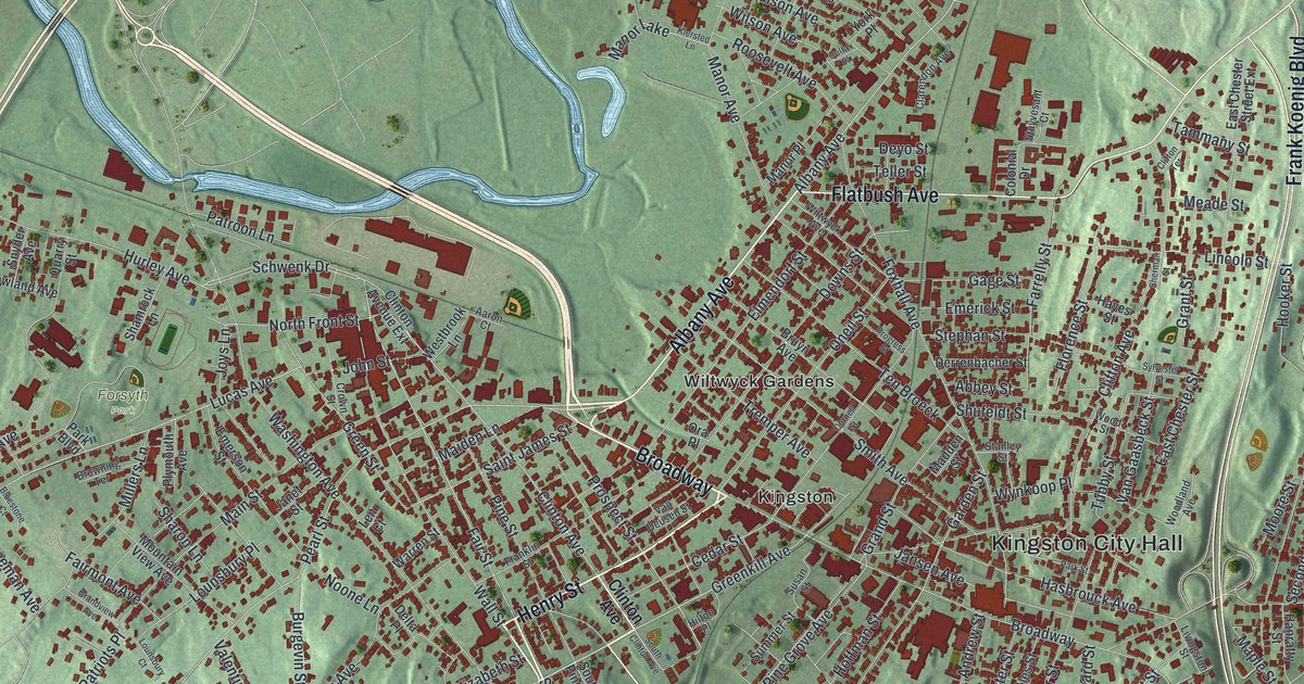
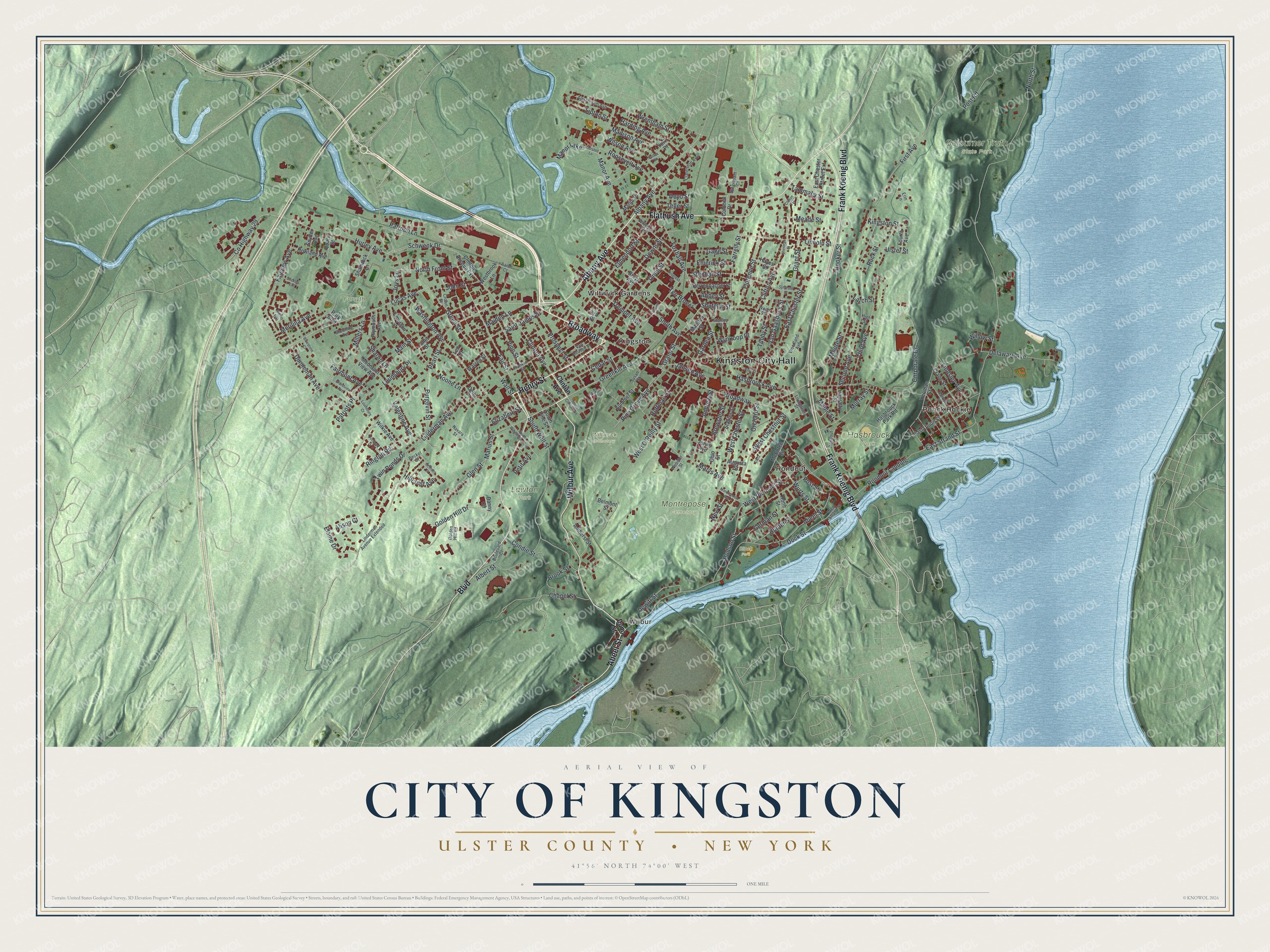
This beautifully detailed map of the City of Kingston, Ulster County, New York was created in 2026 using aerial imagery combined with modern topographical, census, street and landmark data. It’s a one-of-a-kind view of the City of Kingston that combines accurate data with a vintage aesthetic. The map shows every building in its true location, many of the roads carry their names, and the shaded topographic relief shows the shape of the land.
Explore an aerial view of the City of Kingston, Ulster County, New York
On the map you’ll find Kingston City Hall, Wilbur, Ponck Hockie, Rondout, Wiltwyck Gardens, Forsyth Park, Hasbrouck Park, Lawton Park, and Montrepose Cemetery, along with Albany Avenue, Henry Street, Wilbur Avenue, Flatbush Avenue, and more. If you look closely you can even find your house accurately drawn in its correct location. Zoom in on the preview to look for yours.
Did You Know?
In 1652 Thomas Chambers bought land at a place the Dutch called Esopus. By June 1653 he and several others had settled there and begun farming. Their settlements grew into the Dutch village of Wiltwijck, which the English later renamed Kingston. In 1777 Kingston became the first capital of independent New York State.
Take a closer look at the City of Kingston, Ulster County map
Names on this map
These names are printed on this map.
Places: Kingston City Hall, Wilbur, Forsyth Park, Hasbrouck Park, Lawton Park, Montrepose Cemetery, Sojourner Truth State Park, Wiltwyck Cemetery, Block Park, Kingston, Ponck Hockie, Rondout, Wiltwyck Gardens and Manor Lake.
Streets and roads: Albany Avenue, Henry Street, Broadway, Wilbur Avenue, Flatbush Avenue, Abeel Street, Frank Koenig Boulevard, Boulevard, Greenkill Avenue, Fair Street, Schwenk Drive, Clinton Avenue.
More street names, A to Z
Aaron Court, Abbey Street, Abruyn Street, Albert Street, Alison Court, Amherst Street, Amsterdam Avenue, Andrew Street, Arlmont Street, Augusta Street, Becket Street, Belmont Street, Bluestone Court, Boulevard Court, Brewster Street, Brook Street, Browning Terrace, Bruyn Avenue, Burgevin Street, Cedar Street, Chapel Street, Clarendon Avenue, Clifton Avenue, Clifton Terrace, Clinton Avenue Extension, Colfax Place, Colonial Drive, Condie Street, Cornell Street, Corporate Drive, County Highway 29, Crane Street, Crown Street, Danny Circle, Delaware Avenue, Delta Place, Derrenbacher Street, Dewitt Street, Deyo Street, Dietz Court, Dock Street, Downs Street, Dunneman Avenue, Dunn Street, East Chester Street, East Chester Street Extension, East Strand Street, East Union Street, Elaine Drive, Elizabeth Street, Elmendorf Street, Emerick Street, Emerson Street, Erin Lane, Fairmont Avenue, Fairview Avenue, Farrelly Street, First Avenue, Florence Street, Fourth Avenue, Foxhall Avenue, Franklin Street, Gage Street, Garden Street, German Street, Glen Street, Golden Hill Drive, Golden Hill Road, Grand Street, Grandview Avenue, Grant Street, Green Street, Hanratty Street, Harding Avenue, Hasbrouck Avenue, Hasbrouck Park Road, Hayes Street, High Street, Hillcrest Avenue, Hilton Place, Hoffman Street, Hone Street, Hooker Street, Howland Avenue, Hudson Street, Hunter Street, Hurley Avenue, Janet Street, Jansen Avenue, Jervis Avenue, John Street, Joys Lane, Kiersted Lane, Kingston Street, Larch Street, Len Court, Lincoln Street, Linderman Avenue, Linderman Avenue Extended, Lindsley Avenue, Lipton Street, Livingston Street, Lounsbury Court, Lounsbury Place, Lucas Avenue, Madden Street, Madison Avenue, Maiden Lane, Main Street, Manor Avenue, Manor Place, Maple Street, Marius Street, Marys Avenue, McEntee Street, Meade Street, Merilina Avenue, Merritt Avenue, Millers Lane, Montrepose Avenue, Moore Street, Mountain View Avenue, Murray Street, Navara Street, New Street, Noone Lane, North Front Street, North Street, Ohio Street, Oneil Street, Ora Place, Orchard Street, Overlook Drive, Park Boulevard, Park Street, Patriots Place, Patroon Lane, Pearl Street, Petit Avenue, Pine Grove Avenue, Pine Street, Plymouth Avenue, Post Road, Post Street, Progress Street, Prospect Street, Purvis Street, Quarry Street, Ringtop Road, Rock Street, Rondout Drive, Rondout Landing, Roosevelt Avenue, Saint James Street, Second Avenue, Shamrock Lane, Sharon Lane, Sherman Street, Shufeldt Street, Smith Avenue, Snyder Avenue, South Clinton Avenue, South Pine Street, South Wall Street, South Washington Avenue, Stanley Street, Staples Street, Stephan Street, Stickles Lane, Stuyvesant Court, Summer Street, Susan Street, Sylvester Street, Tammany Street, Teller Street, Ten Broeck, Third Avenue, Tremper Avenue, Tubby Street, Twin Ponds Drive, Ulster Street, Valentine Avenue, Van Deusen Street, Van Gaasbeck Street, Wall Street, Warren Street, Washington Avenue, Webster Street, Westbrook Lane, West Chester Street, West Chestnut Street, West O'Reilly Street, West Pierpont Street, West Strand Street, Wilkie Avenue, Willow Street, Wilson Avenue, Wiltwyck Avenue, Woodland Avenue, Wood Street, Wrentham Street, Wurts Street, Wynkoop Place, Yeoman Street, York Place.
See it on a wall
The Kingston, Ulster County map as a framed print. Swipe for more.


This beautifully detailed map of the City of Kingston, Ulster County makes an attractive addition to your office, library, or den, and it can even be used to teach children the geography and history of the area. It also makes a great gift for someone who left the City of Kingston and still calls it home. When you’re done exploring, click here to get your copy of the City of Kingston, Ulster County map.