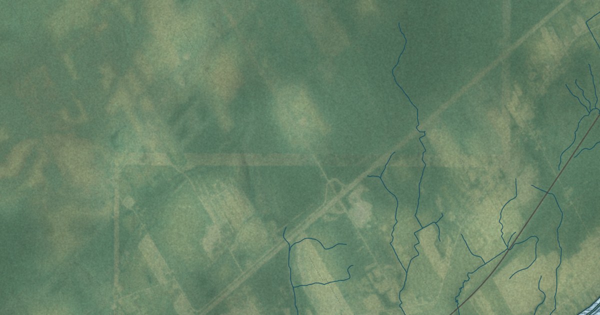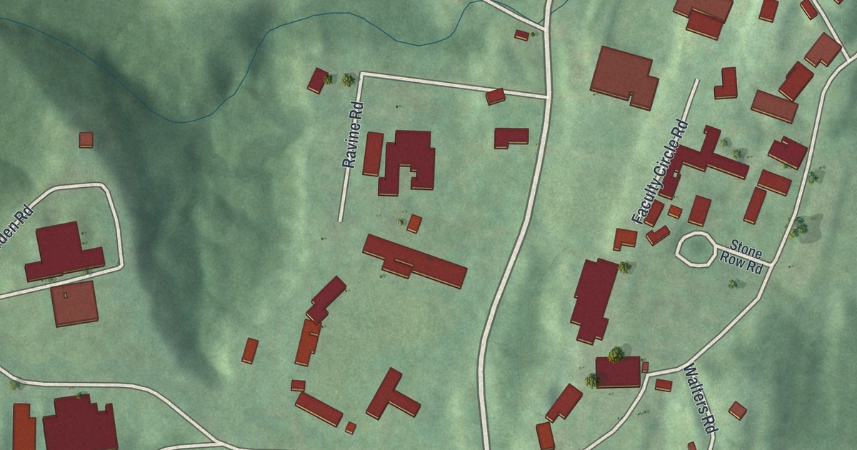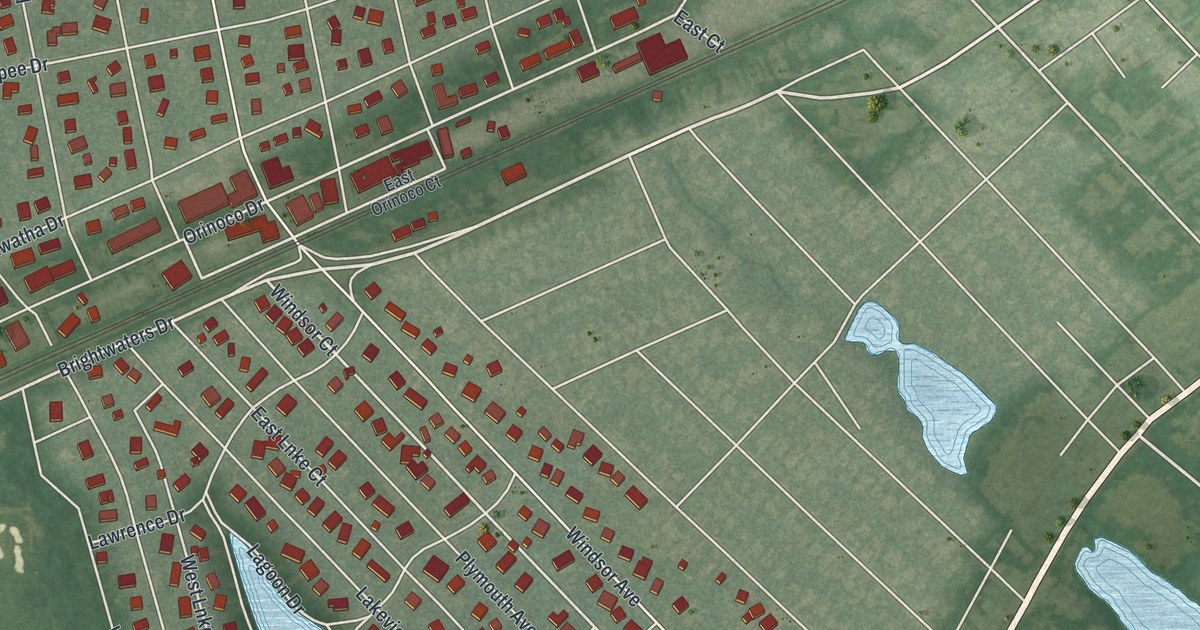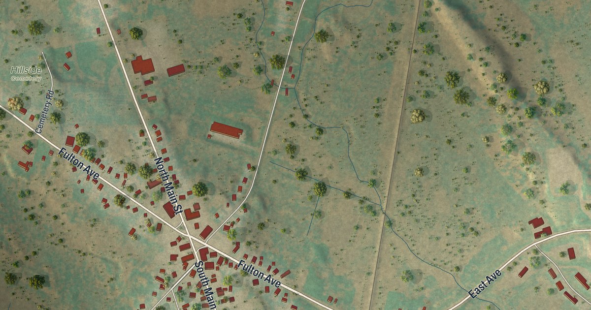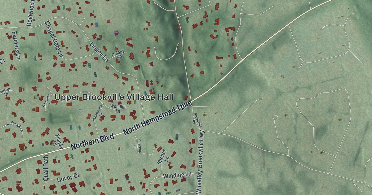
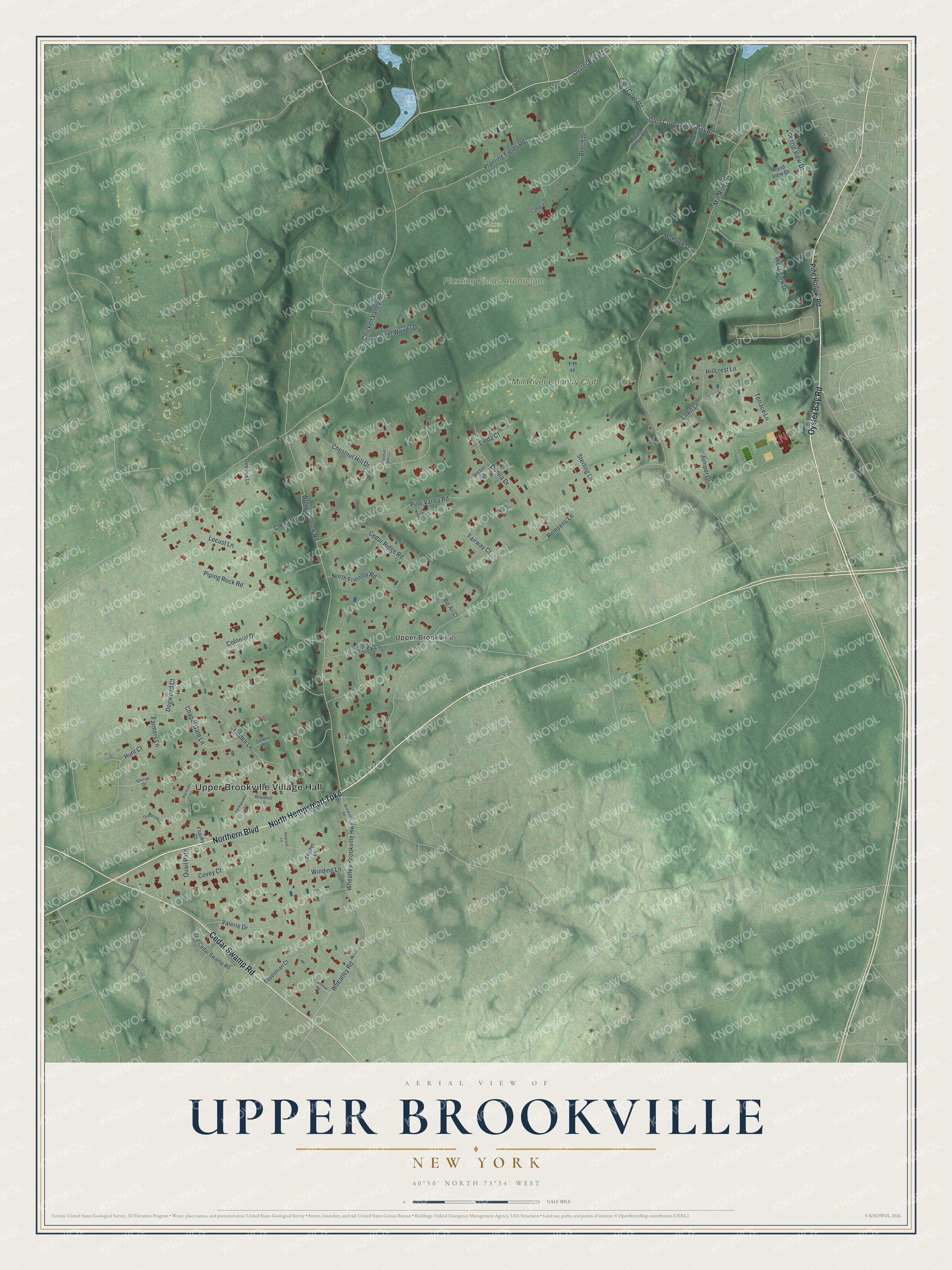
This beautifully detailed map of Upper Brookville, New York was created in 2026 using aerial imagery combined with modern topographical, census, street and landmark data. It’s a one-of-a-kind view of Upper Brookville that combines accurate data with a vintage aesthetic. The map shows every building in its true location, many of the roads carry their names, and the shaded topographic relief shows the shape of the land.
Explore an aerial view of Upper Brookville, New York
On the map you’ll find Upper Brookville Village Hall and Planting Fields Arboretum, along with Oyster Bay Road, Northern Boulevard, Hempstead Turnpike, Cedar Swamp Road, and more. If you look closely you can even find your house accurately drawn in its correct location. Zoom in on the preview to look for yours.
Did You Know?
The village takes its name from a brook that once followed Wolver Hollow, its main road. The land sits lower than the areas around it. Resident Hope Goddard Iselin refused to live anywhere called lower and proposed Upper Brookville instead. The name stuck, and the village incorporated on July 28, 1932.
Take a closer look at the Upper Brookville map
Names on this map
These names are printed on this map.
Places: Upper Brookville Village Hall, Planting Fields Arboretum, Taxus Field, Upper Brookville and Mill River Country Club.
Streets and roads: Oyster Bay Road, Northern Boulevard, North Hempstead Turnpike, Cedar Swamp Road, Glen Cove Oyster Bay Road, Remsens Lane, Mill River Road, Wolver Hollow Road, Chicken Valley Road, Glen Cove Road, Linden Lane, Wheatley Road.
More street names, A to Z
Barnside Lane, Beech Drive, Bel Air Court, Brookville Road, Camelia Drive, Canon Lane, Cedar Ridge Road, Centre View Drive, Chapel Gate Lane, Chestnut Hill Court, Chestnut Hill Drive, Clews Drive, Colonial Drive, Colony Road, Covey Court, Dogwood Court, Donna Drive, Equestrian Court, Fairway Court, Farmers Lane, Farmwoods Lane, Fliasky Court, Hillcrest Lane, Hunt Court, Juniper Drive, Laurel Woods Drive, Lawn Lane, Linda Court, Locust Lane, Mohawk Drive, North Friendly Road, Old Cedar Swamp Road, Overbrook Lane, Peacock Lane, Pine Hollow Road, Pine Valley Road, Piping Rock Road, Plainview Road, Planting Fields Road, Pond View Drive, Quail Path, Red Fox Lane, Ripley Lane, Shelter Lane, Sterling Lane, Stirrup Drive, Terrace Lane, The Knoll, Valerie Drive, Victor Court, Wash Hollow Road, West View Drive, Wheatley-Brookville Highway, Winding Lane, Woodhill Lane.
See it on a wall
The Upper Brookville map as a framed print. Swipe for more.


This beautifully detailed map of Upper Brookville makes an attractive addition to your office, library, or den, and it can even be used to teach children the geography and history of the area. It also makes a great gift for anyone with Upper Brookville roots. When you’re done exploring, click here to get your copy of the Upper Brookville map.