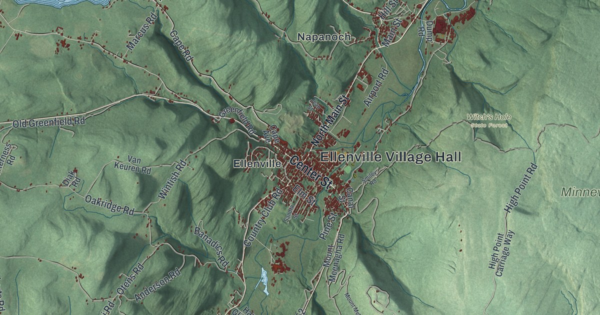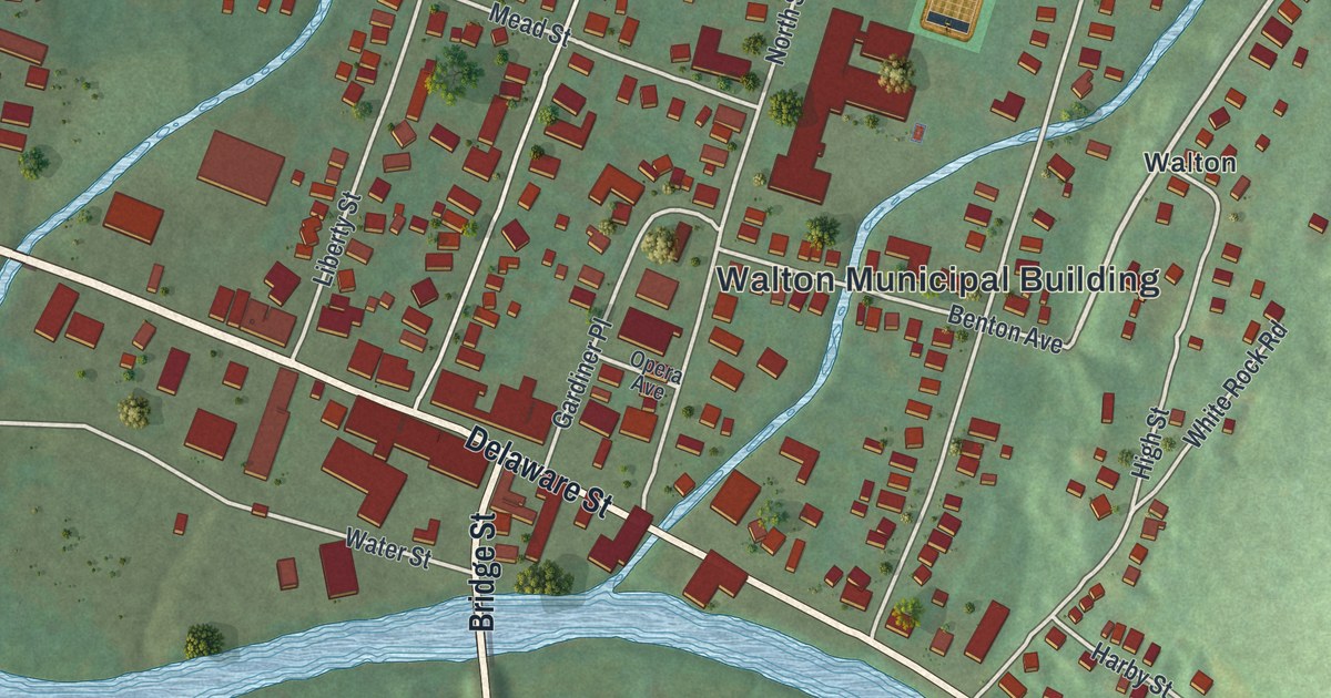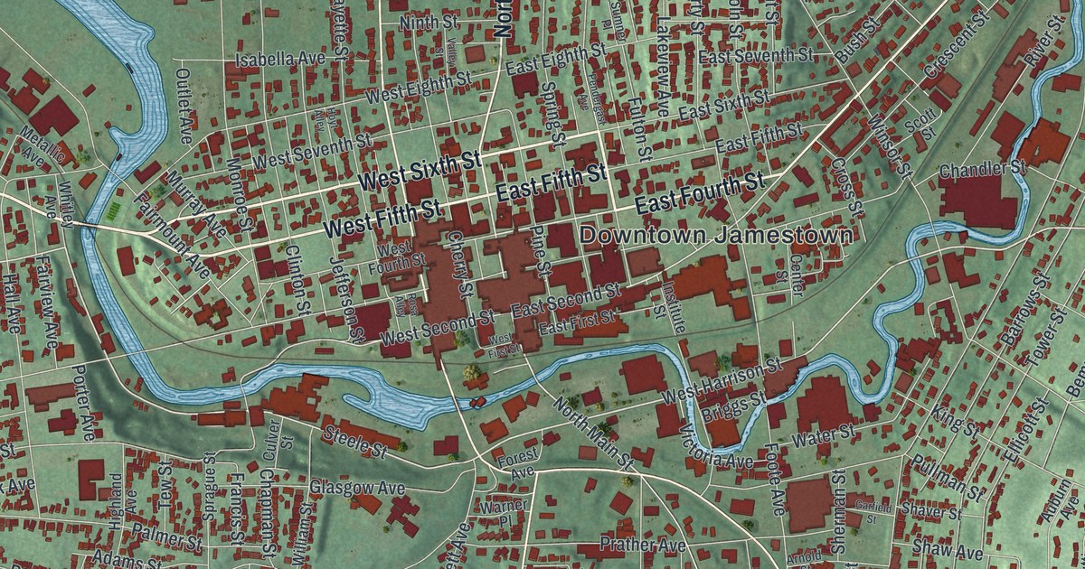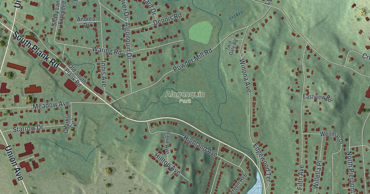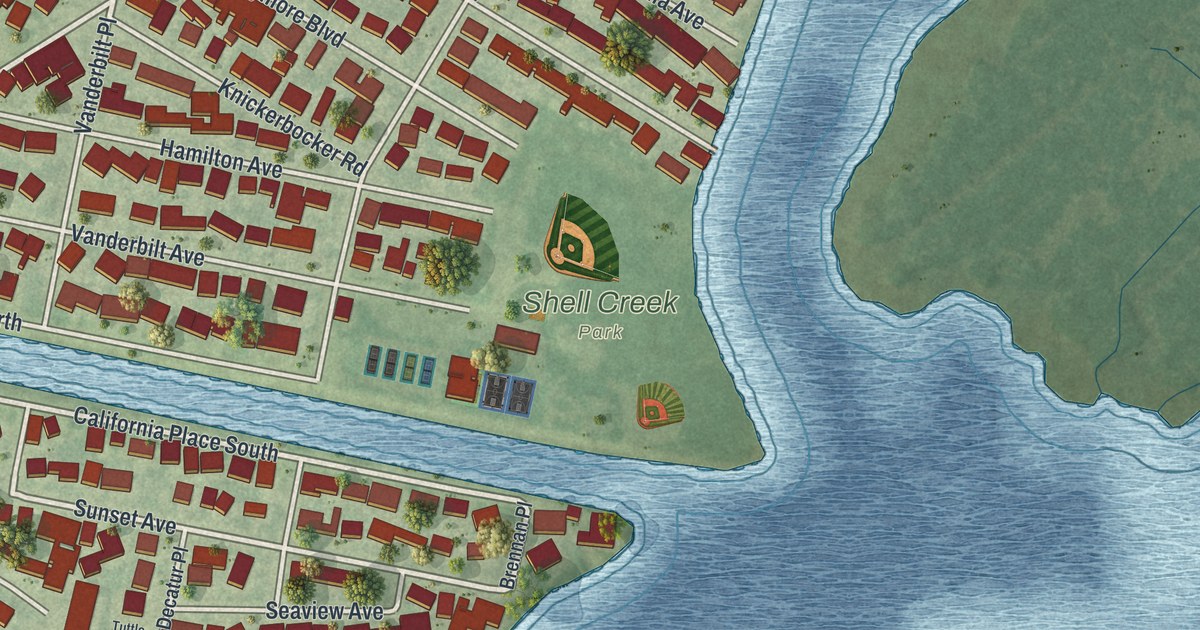
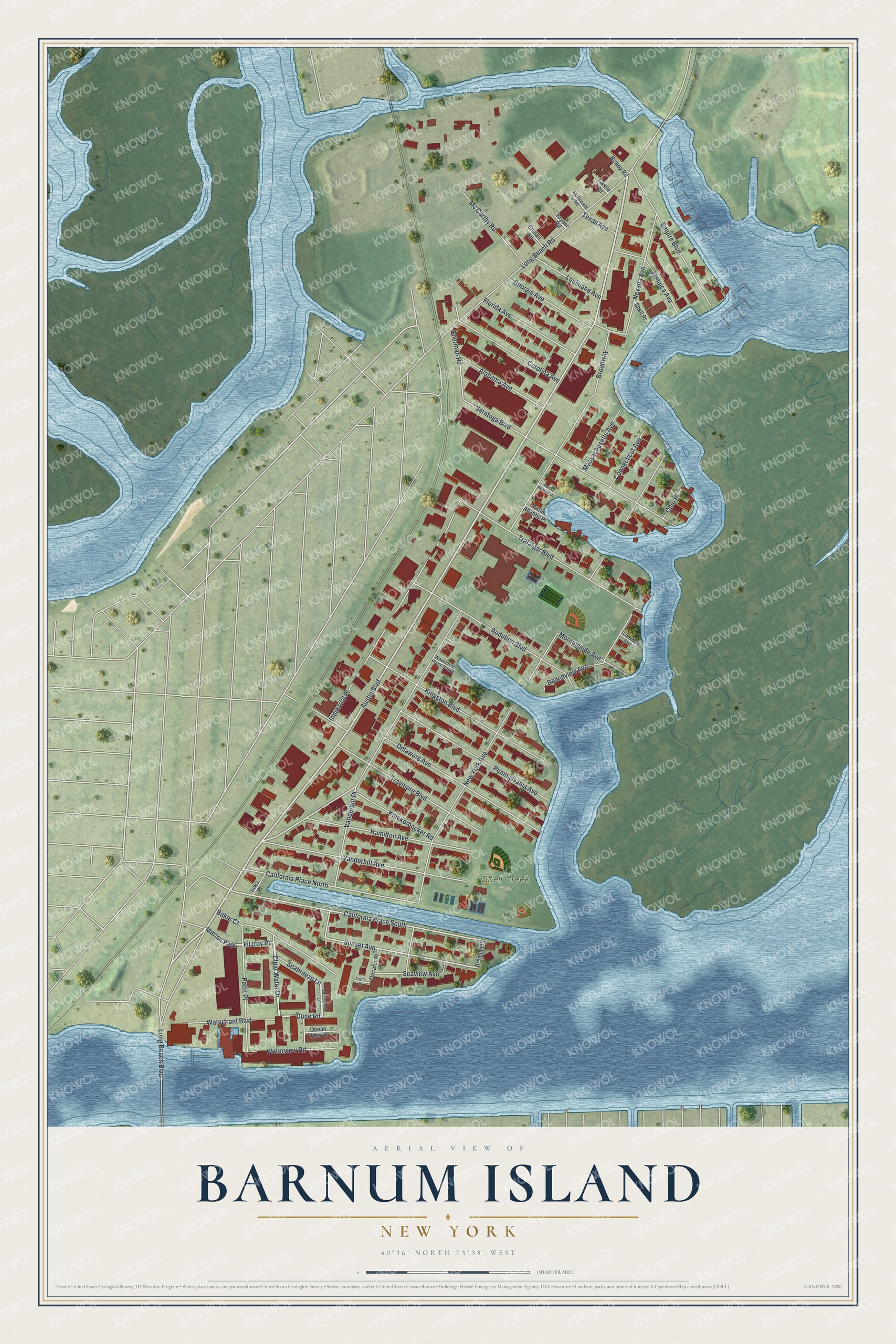
This beautifully detailed map of Barnum Island, New York was created in 2026 using aerial imagery combined with modern topographical, census, street and landmark data. It’s a one-of-a-kind view of Barnum Island that combines accurate data with a vintage aesthetic. The map shows every building in its true location, many of the roads carry their names, and the shaded topographic relief shows the shape of the land.
Explore an aerial view of Barnum Island, New York
On the map you’ll find Fitzroy Place and Shell Creek Park, along with Clear Water Drive, Marina Path, Dune Road, Austin Boulevard, and more. If you look closely you can even find your house accurately drawn in its correct location. Zoom in on the preview to look for yours.
Did You Know?
At first the land was called Hog Island, for wild pigs that European explorers brought. Sarah Ann Baldwin Barnum arranged its purchase for a poor farm, a self-supporting almshouse, and it was renamed for her. Local lore ties the name to the circus impresario, but that is wrong.
Take a closer look at the Barnum Island map
Names on this map
These names are printed on this map.
Places: Shell Creek Park.
Streets and roads: Clear Water Drive, Marina Path, Fitzroy Place, Dune Road, Austin Boulevard, Broadway, California Place South, Sunset Avenue, Georgia Avenue, New York Avenue, Long Beach Road, Industrial Place.
More street names, A to Z
Alabama Avenue, Audubon Boulevard, Baker Court, Beachview Avenue, Bishop Road, Brennan Place, Bryant Road, California Place North, Carolina Avenue, Castle Road, Cathedral Avenue, Connecticut Avenue, Decatur Place, Delaware Avenue, Driftwood Lane, Empire Boulevard, Enman Road, Florida Avenue, Hamilton Avenue, Iowa Place, Jamaica Avenue, Kingston Boulevard, Knickerbocker Road, Long Beach Boulevard, Louisiana Avenue, Massachusetts Avenue, Mc Carthy Road, McDonald Road, Morningside Avenue, Nevada Avenue, North Atlantic Place, Ocean View Court, Ohio Place, Pennsylvania Avenue, Pettit Place, Saratoga Boulevard, Seabreeze Lane, Seaview Avenue, Shell Place, Sherman Road, South Atlantic Place, Texas Avenue, Trafalgar Boulevard, Traymore Boulevard, Tuttle Place, Vanderbilt Avenue, Vanderbilt Place, Waterfront Boulevard, Waterview Road, Wavecrest Place South.
See it on a wall
The Barnum Island map as a framed print. Swipe for more.


This beautifully detailed map of Barnum Island makes an attractive addition to your office, library, or den, and it can even be used to teach children the geography and history of the area. It also makes a great gift for someone who left Barnum Island and still calls it home. When you’re done exploring, click here to get your copy of the Barnum Island map.