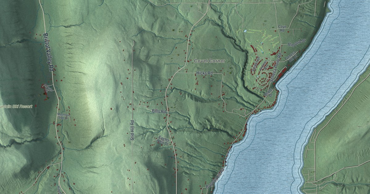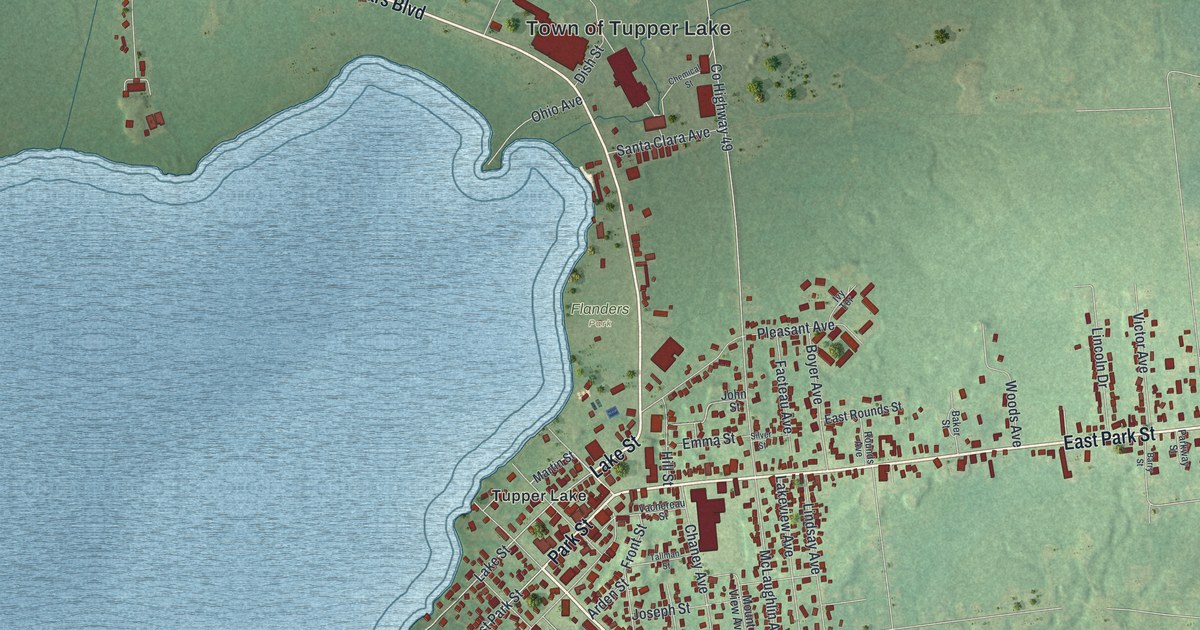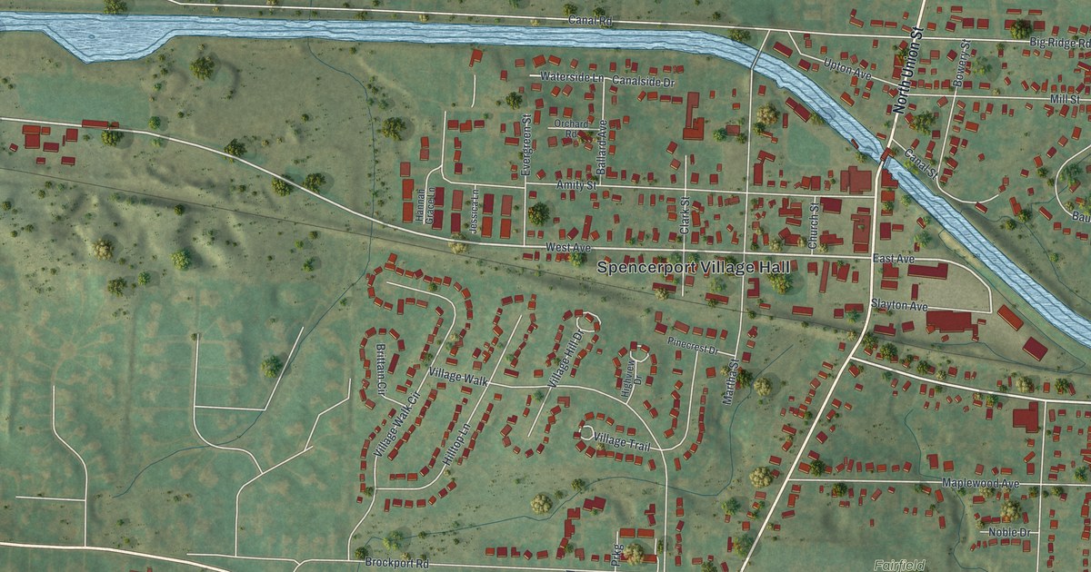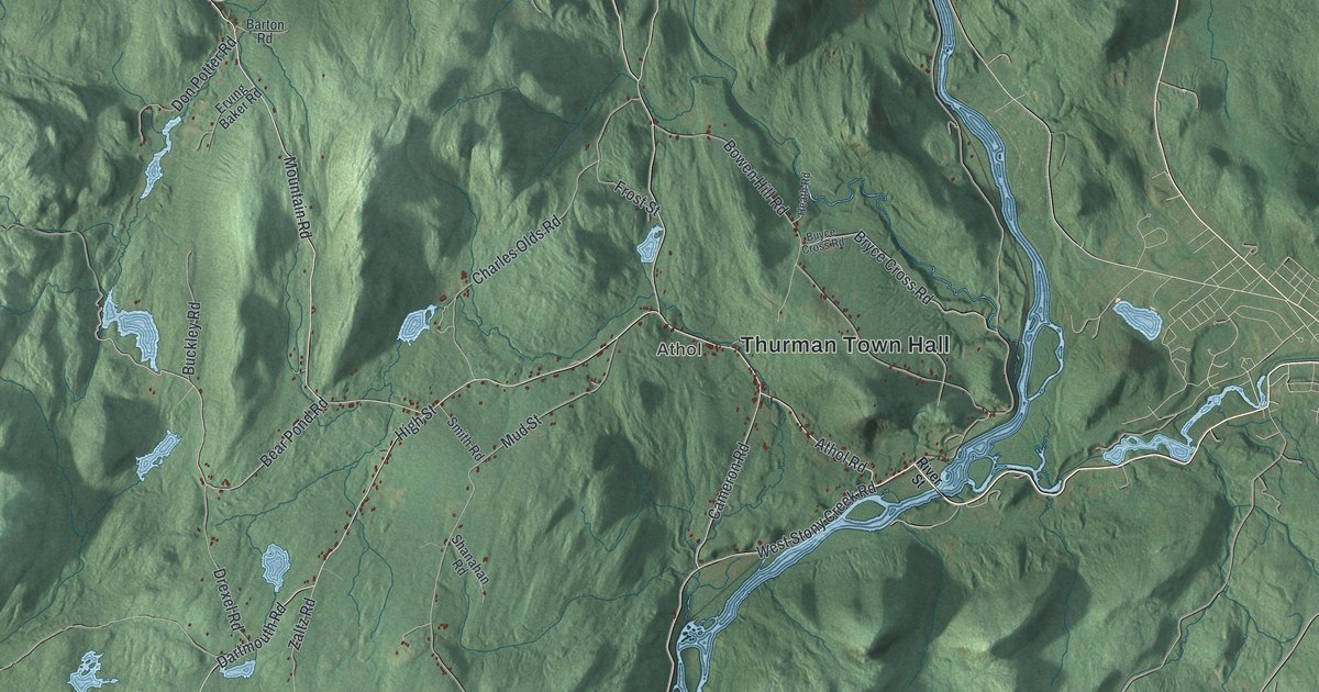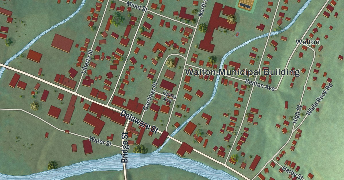
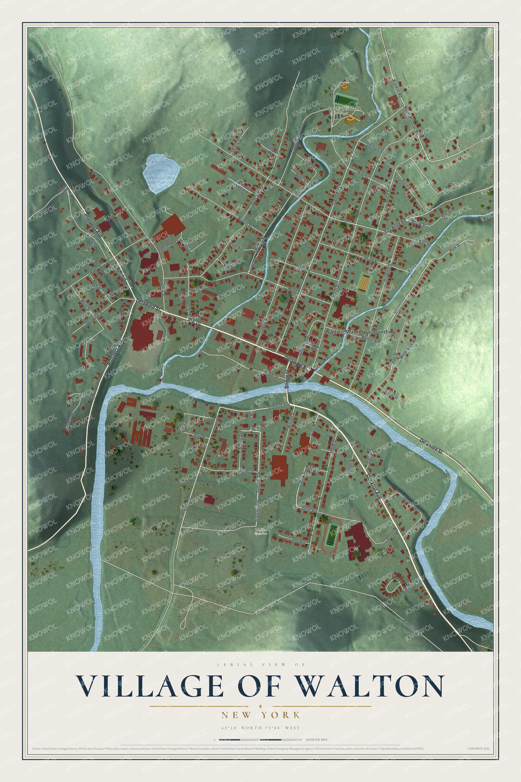
This beautifully detailed map of the Village of Walton, New York was created in 2026 using aerial imagery combined with modern topographical, census, street and landmark data. It’s a one-of-a-kind view of the Village of Walton that combines accurate data with a vintage aesthetic. The map shows every building in its true location, many of the roads carry their names, and the shaded topographic relief shows the shape of the land.
Explore an aerial view of the Village of Walton, New York
On the map you’ll find Walton Municipal Building and Austin Lincoln Park, along with Stockton Avenue, Delaware Street, Prospect Avenue, Bridge Street, and more. If you look closely you can even find your house accurately drawn in its correct location. Zoom in on the preview to look for yours.
Did You Know?
William B. Ogden was born in Walton on June 15, 1805. He grew up to become the first mayor of Chicago. He also helped found the Chicago and Northwestern Railroad. Today the village hosts the yearly Delaware County Fair each August.
Take a closer look at the Village of Walton map
Names on this map
These names are printed on this map.
Places: Walton Municipal Building, Austin Lincoln Park, Walton Cemetery and Walton.
Streets and roads: Stockton Avenue, Route 10, Delaware Street, Prospect Avenue, Bridge Street, South Street, Fancher Avenue, Mount Pleasant Road, Franklin Road, Bruce Street, Cherry Street, Guild Avenue.
More street names, A to Z
Austin Lincoln Drive, Benton Avenue, Boyer Road, Brook Street, Burton Street, Bush Avenue, Camp Avenue, East Brook Road, East Street, Elm Street, Fair Street, Fitch Street, Flynn Street, Francher Avenue, Garden Street, Gardiner Place, Griswold Street, Harby Drive, Harby Street, High Street, Hillside Terrace, Holley Street, Howell Street, John Street Extended, Kelly Avenue, Liberty Street, Maple Avenue, Maple Street, Marvin Avenue, Mead Street, Miller Avenue, More Avenue, Munn Street, Murphy Hill Road, New Street, North Street, Ogden Street, Old Prospect Avenue, Opera Avenue, Orchard Street, Park Street, Pine Street, Platt Street, Powerline Road, Pr Drive, Quarry Road, Quarry Street, Remaykes Avenue, Saint John Street, Sawyer Place, Sewell Place, Sheffield Ests, Shepard Street, Terrace Avenue, Titus Place, Townsend Street, Tripp Avenue, Tulip Circle, Union Street, Wall Street, Water Street, Wells Street, West Street, White Rock Road, William Street.
See it on a wall
The Walton map as a framed print. Swipe for more.


This beautifully detailed map of the Village of Walton makes an attractive addition to your office, library, or den, and it can even be used to teach children the geography and history of the area. It also makes a great gift for someone who left the Village of Walton and still calls it home. When you’re done exploring, click here to get your copy of the Village of Walton map.