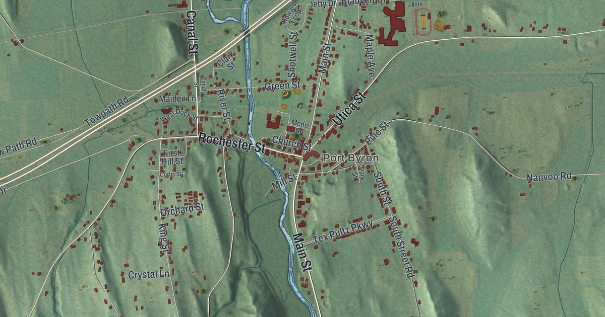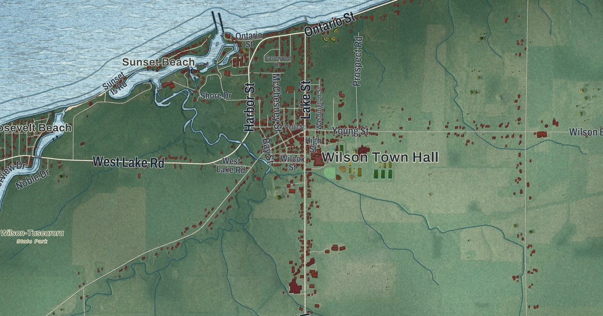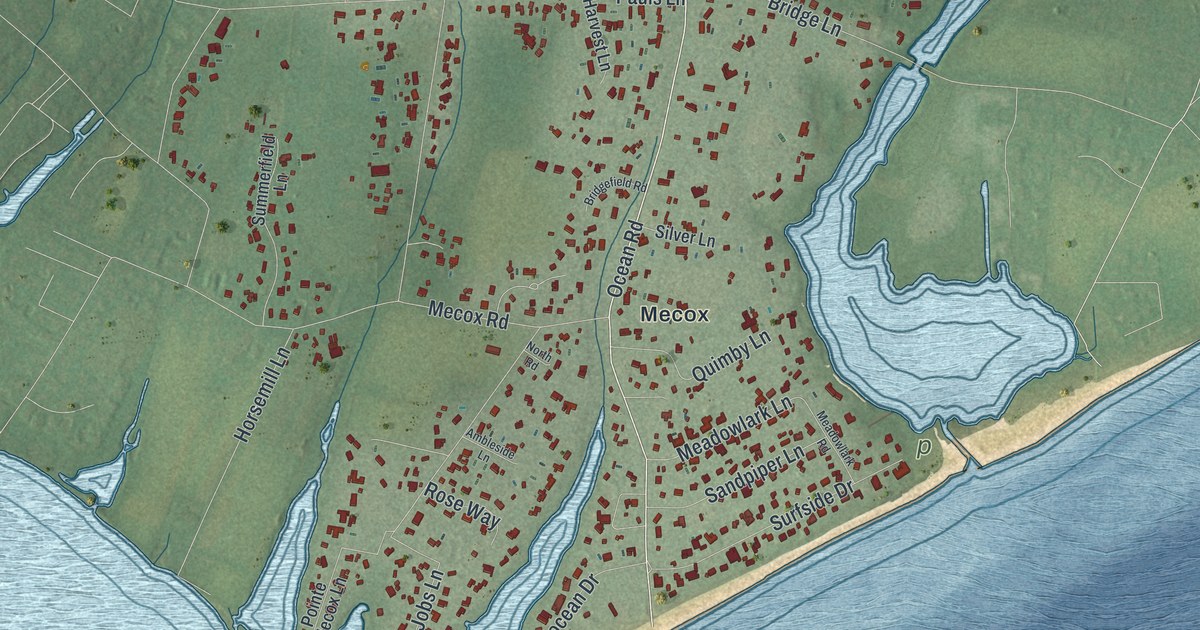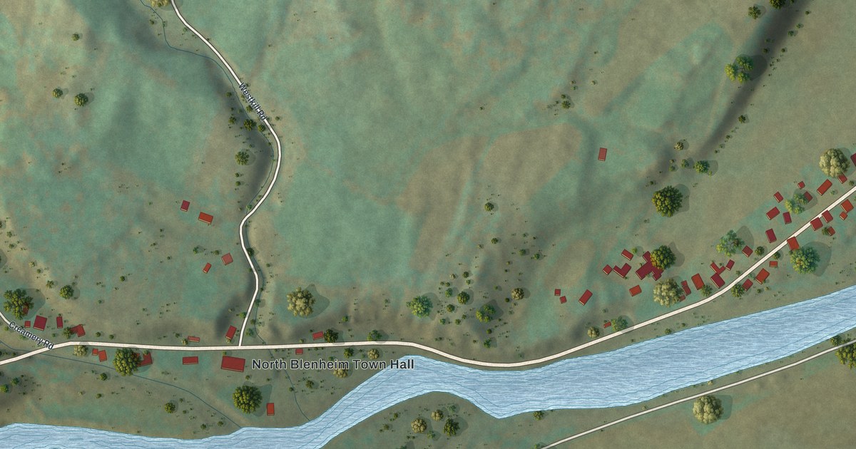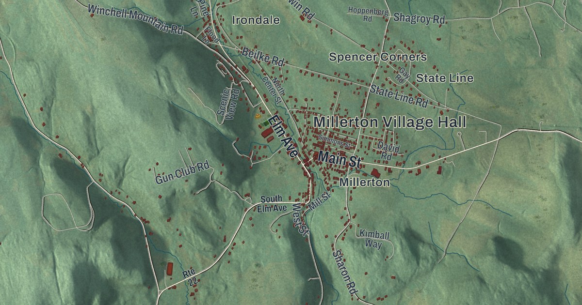
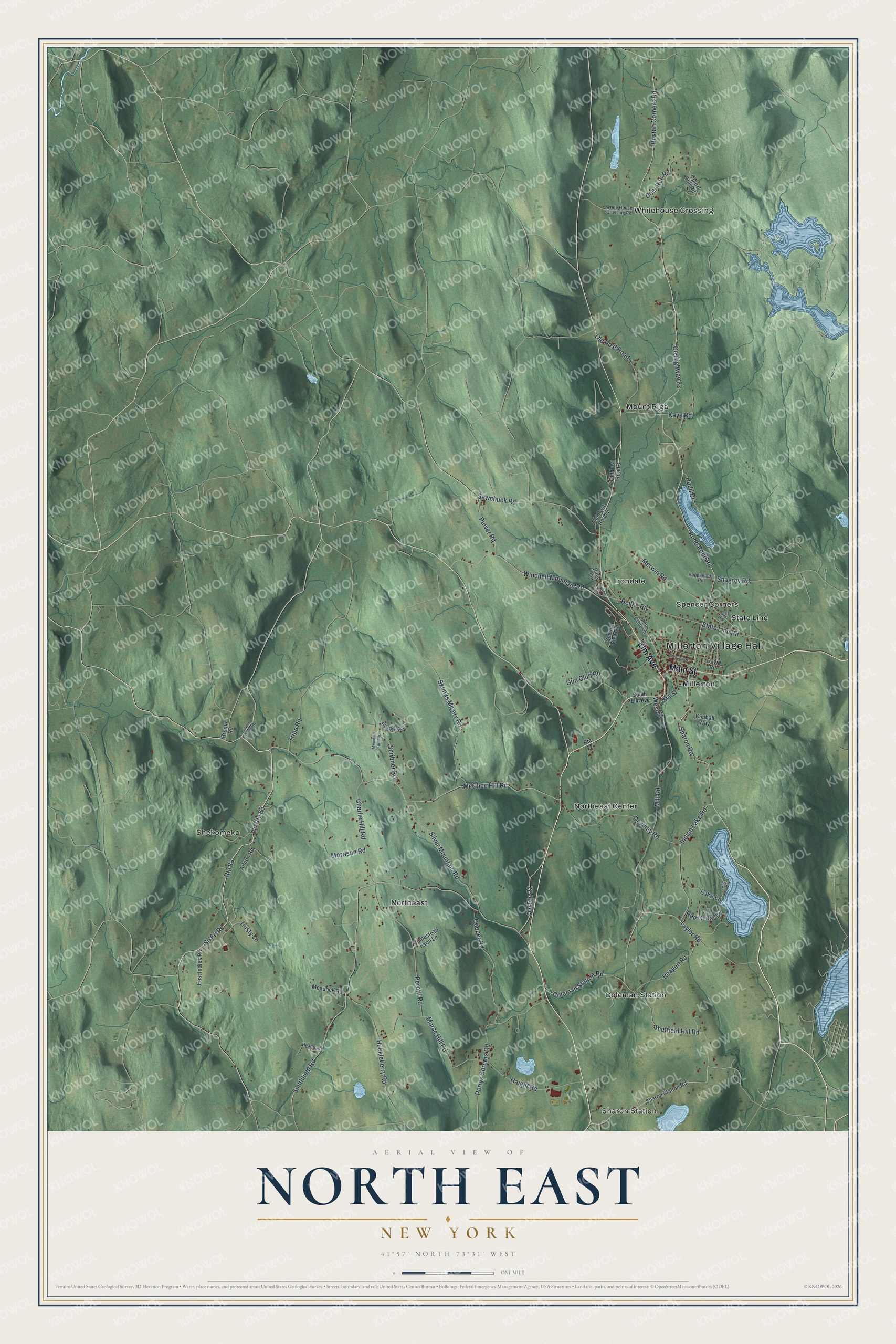
This beautifully detailed map of North East, New York was created in 2026 using aerial imagery combined with modern topographical, census, street and landmark data. It’s a one-of-a-kind view of North East that combines accurate data with a vintage aesthetic. The map shows every building in its true location, many of the roads carry their names, and the shaded topographic relief shows the shape of the land.
Explore an aerial view of North East, New York
On the map you’ll find Millerton Village Hall, Sharon Station, Shekomeko, Coleman Station, Irondale, and Millerton, along with Elm Avenue, Main Street, Sharon Road, Winchell Mountain Road, and more. If you look closely you can even find your house accurately drawn in its correct location. Zoom in on the preview to look for yours.
Did You Know?
The town is named for where it sits, in the northeastern corner of Dutchess County. Settlers from Connecticut arrived between 1725 and 1730, in a strip called The Oblong. In the Revolutionary War, miners took iron ore from the Dakin ore bed to make cannon.
Take a closer look at the North East map
Names on this map
These names are printed on this map.
Places: Millerton Village Hall, Sharon Station, Shekomeko, Coleman Station, Irondale, Millerton, Mount Riga, Northeast, Northeast Center, Spencer Corners, State Line and Whitehouse Crossing.
Streets and roads: Elm Avenue, Main Street, Route 83, County Route 83, Sharon Road, Winchell Mountain Road, Rudd Pond Road, Sawchuck Road, Sn Fri Road, County Highway 63, McGhee Hill Road, Boston Corners Road.
More street names, A to Z
Albion Road, Alice Way, Beilke Road, Briarwood Lane, Brooks Road, Charlie Hill Road, Coleman Station Road, Cooper Road, David Road, Deer Run Road, Downey Road, Dusty Lane, East Indies Road, Flood Lane, Gay Road, Gun Club Road, Haight Road, Heathcote Lane, Homestead Farm Lane, Hoppenberg Road, Huckleberry Road, Indian Lake Road, Kaye Road, Kimball Way, Lake Lane, Merwin Road, Mill Road, Mill Street, Moadock Road, Morrison Road, Morse Hill Road, Mountain Farm Road, North Center Street, Old Post Road 2, Old Post Road 3, Old Post Road 4, Old Route 22, Perotti Road, Perrys Corners Road, Pine Lane, Pulver Road, Pulvers Corners Road, Quarry Hill Road, Reagen Road, Red Cedar Lane, Route 22, Rudd Drive, Scenic View Road, Scribner Road, Shagroy Road, Sharon Station Road, Sheffield Hill Road, Silver Mountain Road, Simmons Street, Skunks Misery Road, Smithfield Road, South Elm Avenue, State Line Road, Taylor Road, Tripp Road, West Street, White House Crossing Road.
See it on a wall
The North East map as a framed print. Swipe for more.


This beautifully detailed map of North East makes an attractive addition to your office, library, or den, and it can even be used to teach children the geography and history of the area. It also makes a great gift for anyone who grew up in North East or moved away. When you’re done exploring, click here to get your copy of the North East map.