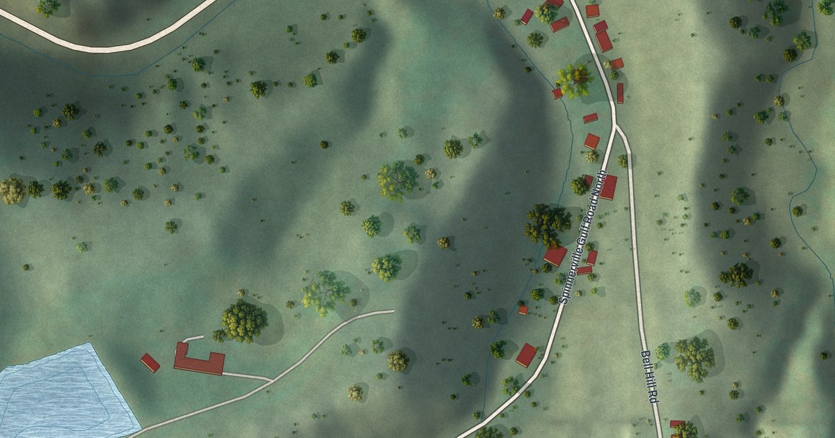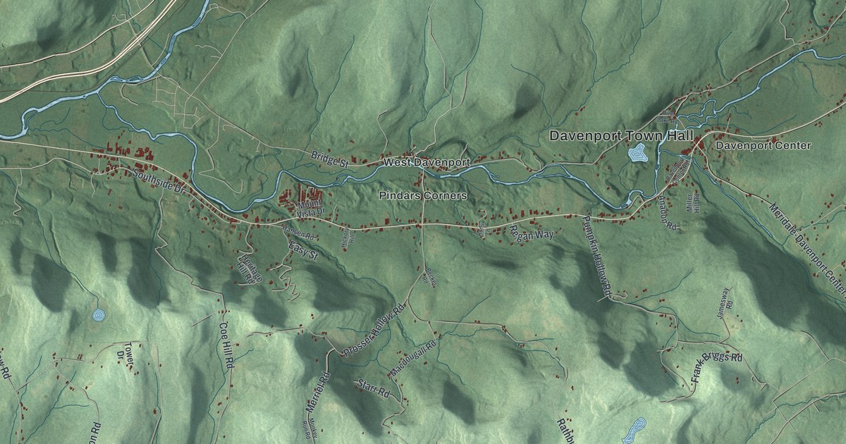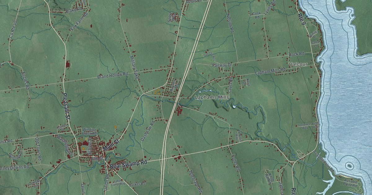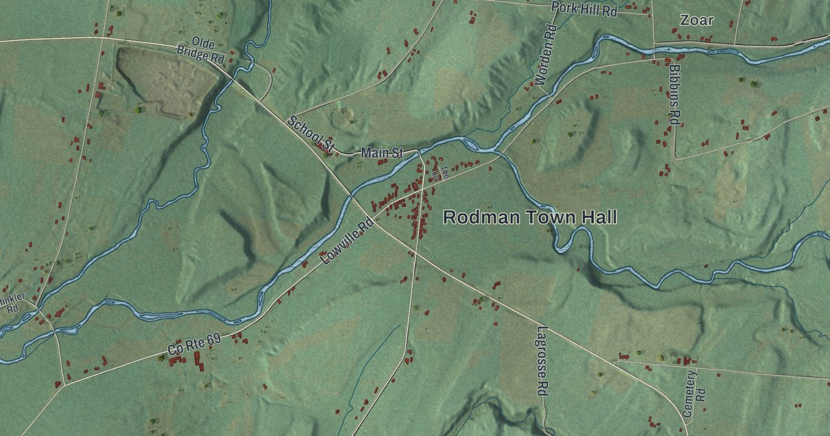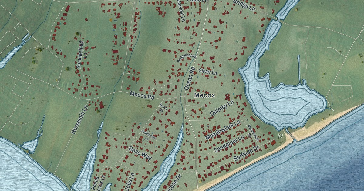
This beautifully detailed map of Bridgehampton, New York was created in 2026 using aerial imagery combined with modern topographical, census, street and landmark data. It’s a one-of-a-kind view of Bridgehampton that combines accurate data with a vintage aesthetic. The map shows every building in its true location, many of the roads carry their names, and the shaded topographic relief shows the shape of the land.
Explore an aerial view of Bridgehampton, New York
On the map you’ll find Mecox, along with Montauk Highway, Ocean Road, Bridge Hampton Sag Harbor Turnpike, Ocean Drive, Hildreth Avenue, and more. If you look closely you can even find your house accurately drawn in its correct location. Zoom in on the preview to look for yours.
Did You Know?
Settlers from Southampton built a community at the head of Sagg Pond and called it Bullhead. In 1686 Ezekiel Sandford built Sagg Bridge across the pond. It linked Mecox and Sagaponack. That bridge gave the hamlet its new name, Bridgehampton.
Take a closer look at the Bridgehampton map
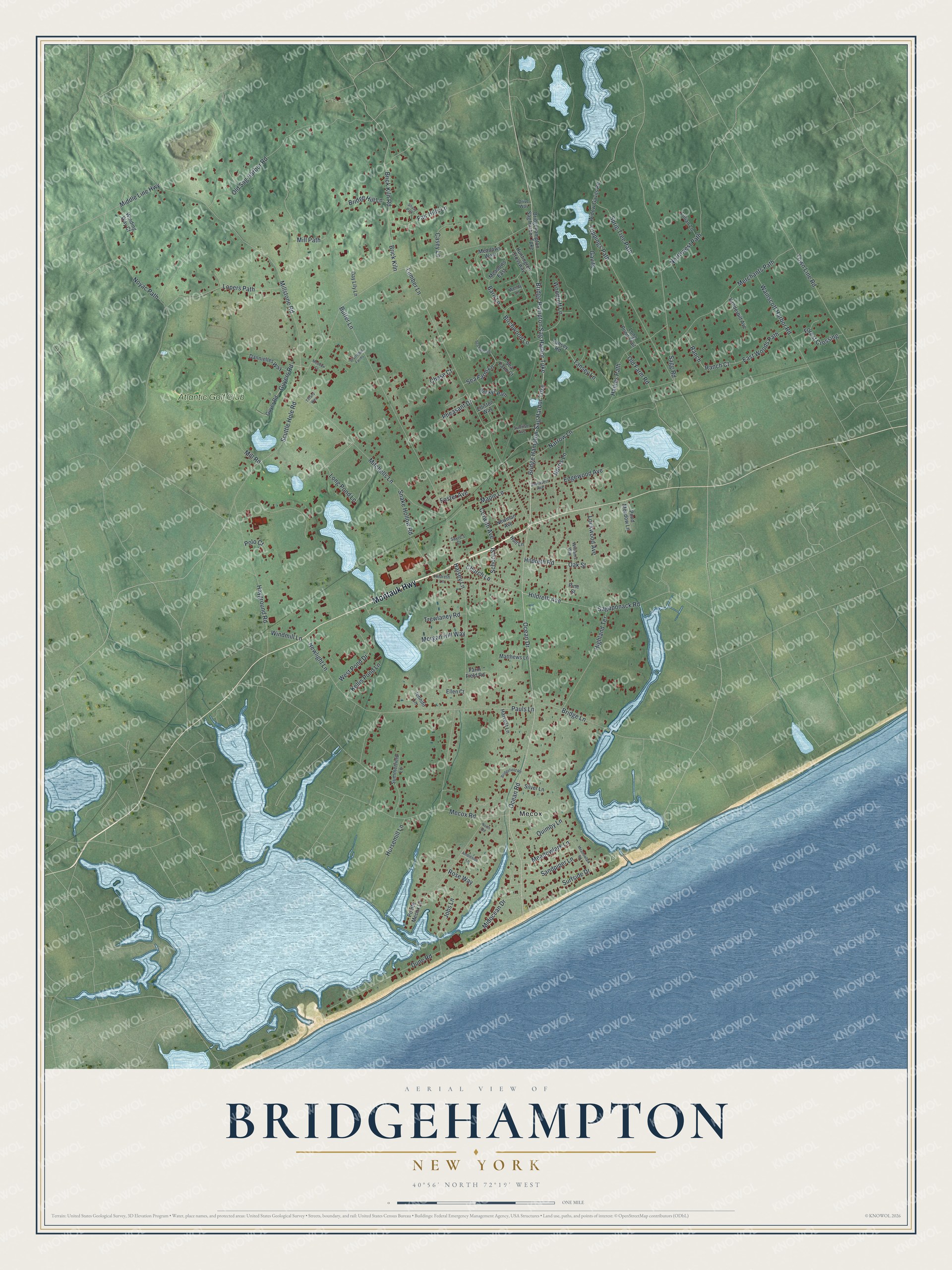
Names on this map
These names are printed on this map.
Places: Mecox and Atlantic Golf Club.
Streets and roads: Montauk Highway, Ocean Road, Bridge Hampton Sag Harbor Turnpike, Bridge Hampton-Sag Harbor Turnpike, Ocean Drive, Hildreth Avenue, Hildreth Road, Oak Street, Old Farm Road, Sagg Road, Scuttle Hole Road, Lumber Lane.
More street names, A to Z
Ambleside Lane, Barn Lane, Beckys Path, Birchwood Lane, Brick Kiln, Brick Kiln Road, Bridgefield Road, Bridgehampton Sag Harbor Turnpike, Bridge Hill Lane, Bridge Lane, Butter Lane, Casey Lane, Chase Court, Church Lane, Corwith Avenue, Dannielles Way, Day Lily Lane, Drive Way, Dune Road, East Woods Path, Edgewood Avenue, Ellen Court, Elliston Way, Fair Hills Lane, Farm Field Road, Forest Crossing, Foster Avenue, Gavits, Guyer Road, Guyers Road, Haines Path, Halsey Lane, Harvest Lane, Hayground Road, Highland Terrace, Hildreth Lane, Horsemill Lane, Hull Lane, Huntington Crossway, Jennifir Lane, Jobs Lane, Kellis Pond Lane, Lillian Lane, Lockwood Avenue, Long Pond Lane, Long Pond Trail, Lopers Path, Maple Lane, Matthews Lane, Meadow Court, Meadowlark Lane, Meadowlark Road, Meadows East, Meadows West, Mecox Road, Merchants Path, Middle Line Highway, Midocean Drive, Mill Path, Mill Road, Millstone Road, Mitchells Lane, Morgan Hill Way, Narrow Lane, Newlight Lane, Newman Avenue, Norris Lane, North Road, Northwest Path, Noyac Path, Old Sag Harbor Road, Pauls Lane, Pheasant Drive, Pine Street, Pointe Mecox Lane, Polo Court, Pond Meadow Lane, Quimby Lane, Ranch, Ranch Court, Rose Way, Sagaponack Road, Sandpiper Lane, Sawasett Avenue, Sayre's Court, School Street, Scuttlebut Farms, Sea Farm Court, Sea Farm Lane, Sea Farm Road, Shady Path, Silver Lane, Snake Hollow Road, Sprig Tree Path, Summerfield Lane, Sunrise Avenue, Surfside Drive, Tansey Lane, Tansey Road, Tiffany Way, Toppings Path, Town Line Road, Trewlaney Road, Vanderbilt Avenue, Wainscott Harbor Road, Wendy Lane, West Pond Drive, Widow Gavits Road, Williams Way, Winding Way Court, Windmill Lane, Woodruff Lane.
See it on a wall
The Bridgehampton map as a framed print. Swipe for more.


This beautifully detailed map of Bridgehampton makes an attractive addition to your office, library, or den, and it can even be used to teach children the geography and history of the area. It also makes a great gift for someone who left Bridgehampton and still calls it home. When you’re done exploring, click here to get your copy of the Bridgehampton map.