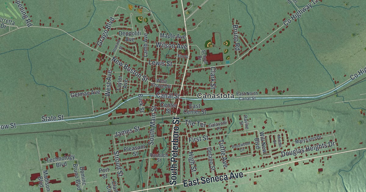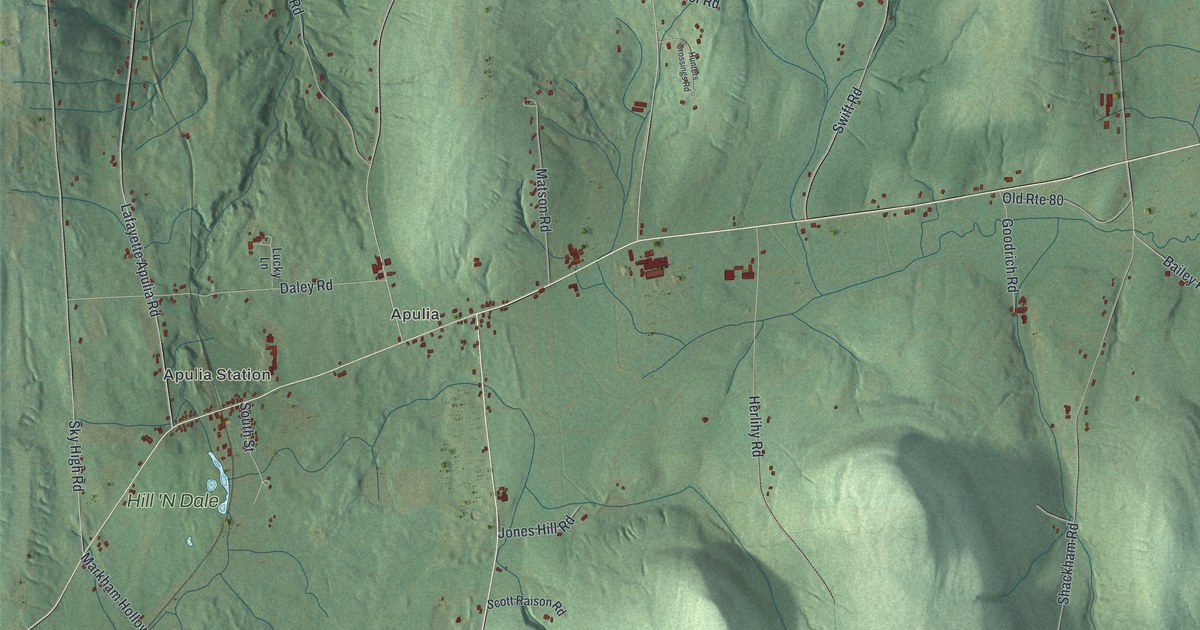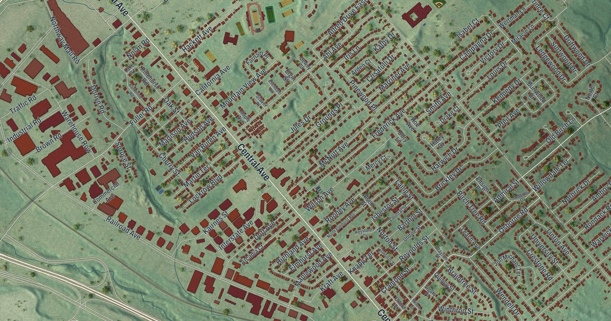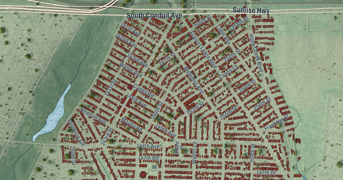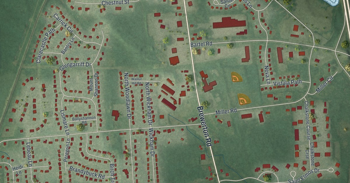
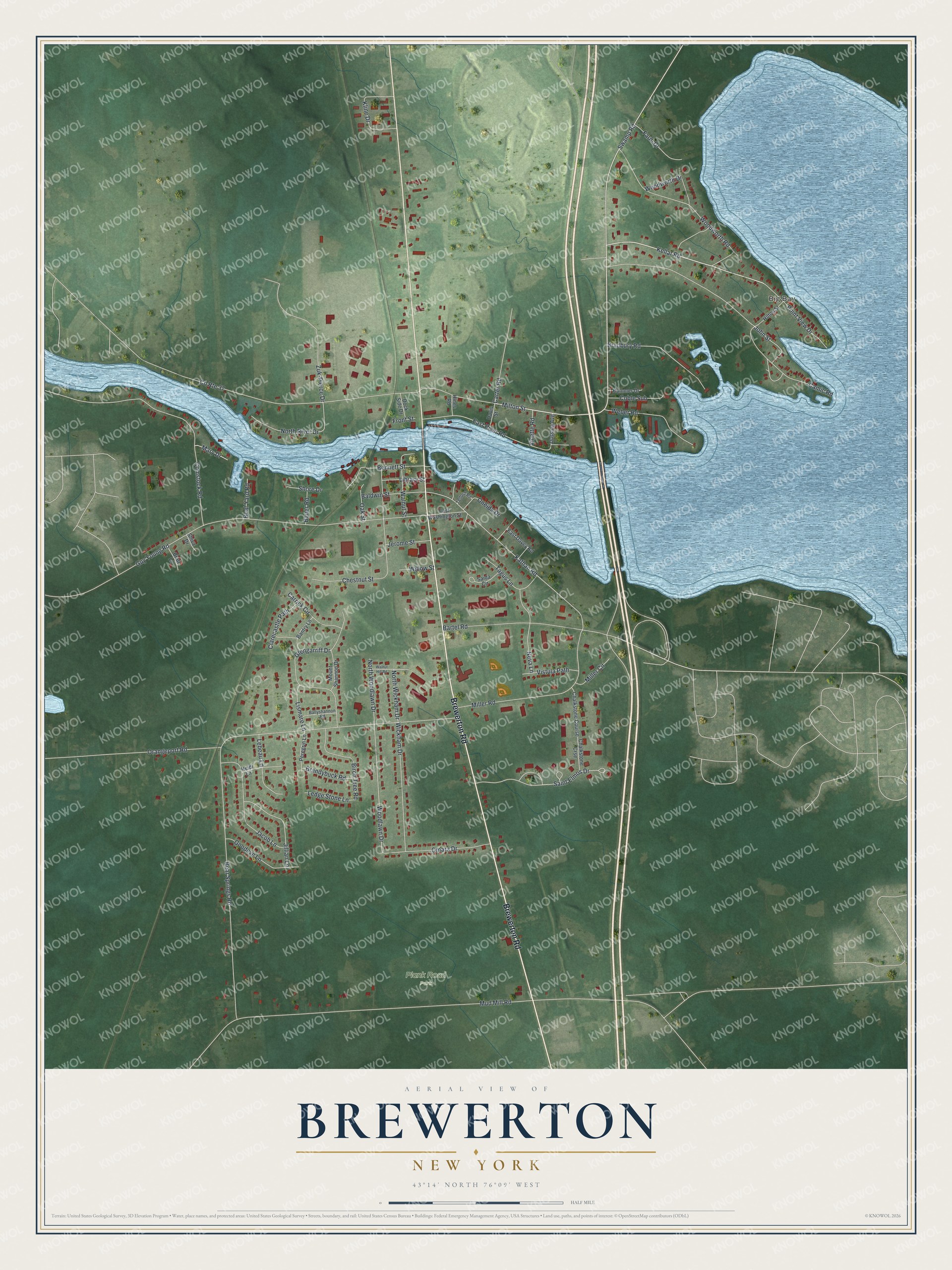
This beautifully detailed map of Brewerton, New York was created in 2026 using aerial imagery combined with modern topographical, census, street and landmark data. It’s a one-of-a-kind view of Brewerton that combines accurate data with a vintage aesthetic. The map shows every building in its true location, many of the roads carry their names, and the shaded topographic relief shows the shape of the land.
Explore an aerial view of Brewerton, New York
On the map you’ll find Big Bay and Plank Road Park, along with Brewerton Road, Kellar Road, Milton Street, John Street, Woodlawn Drive, and more. If you look closely you can even find your house accurately drawn in its correct location. Zoom in on the preview to look for yours.
Did You Know?
Fort Brewerton was built in 1759 to guard the water route from Albany to the port of Oswego. Settlers came in 1789 to trade in furs. The fort joined the National Register in 1973, and a blockhouse museum stands beside it.
Take a closer look at the Brewerton map
Names on this map
These names are printed on this map.
Places: Big Bay and Plank Road Park.
Streets and roads: Brewerton Road, County Route 37, Kellar Road, Milton Street, John Street, Woodlawn Drive, Kathan Road, Mud Mill Road, Orangeport Road, Guy Young Road, Camic Road, Bear Springs Road.
More street names, A to Z
Baldwin Street, Ballyshannon Road, Bantry Lane, Bartel Road, Bauer Road, Bennett Street, Birch Tree Road, Boat Yard Road, Bradbury Road, Brandybuck Road, Bratt Lane, Carrick Circle, Carter Road, Chalkstone Course, Chalkstone Crse, Chestnut Street, Clarecastle Path, Coble Sub, Comstock Road, Davis Street, Dock Side Drive, Dussing Avenue, East Davey Road, East River Road, East Washington Street, Farm Drive, Front Street, Glengarriff Drive, Goodeve Lane, Heidi Lane, Hilton Street, Hines Road, Hummer Drive, Jacob Lane, Jerome Street, Jillian Lane, Kline Drive, Lebeau Lane, Ledge Stone Lane, Library Street, Lismare Lane, Mary Drive, Miller Circle, Miller Road, Mount Shannon Drive, Neva Lane, North River Drive, North Wickham Drive, North Woodlawn Drive, Oak Street, Omara Drive, Oneida Drive, Peregrin Lane, Point View Drive, Saida Circle, Saint Elmos Drive, Shiva Drive, Shore Drive, Swamp Road, Tagus Lane, Telford Road, Vinette Road, Vistula Path, Walnut Hill Road, Walnut Street, Weber Road, Wickham Drive, Willow Street, Woodworth Drive, Woodworth Road, Zuk-Pierce Drive.
See it on a wall
The Brewerton map as a framed print. Swipe for more.


This beautifully detailed map of Brewerton makes an attractive addition to your office, library, or den, and it can even be used to teach children the geography and history of the area. It also makes a great gift for anyone who grew up in Brewerton or moved away. When you’re done exploring, click here to get your copy of the Brewerton map.