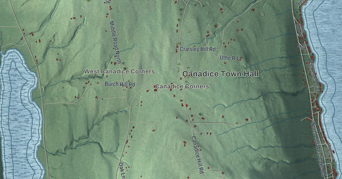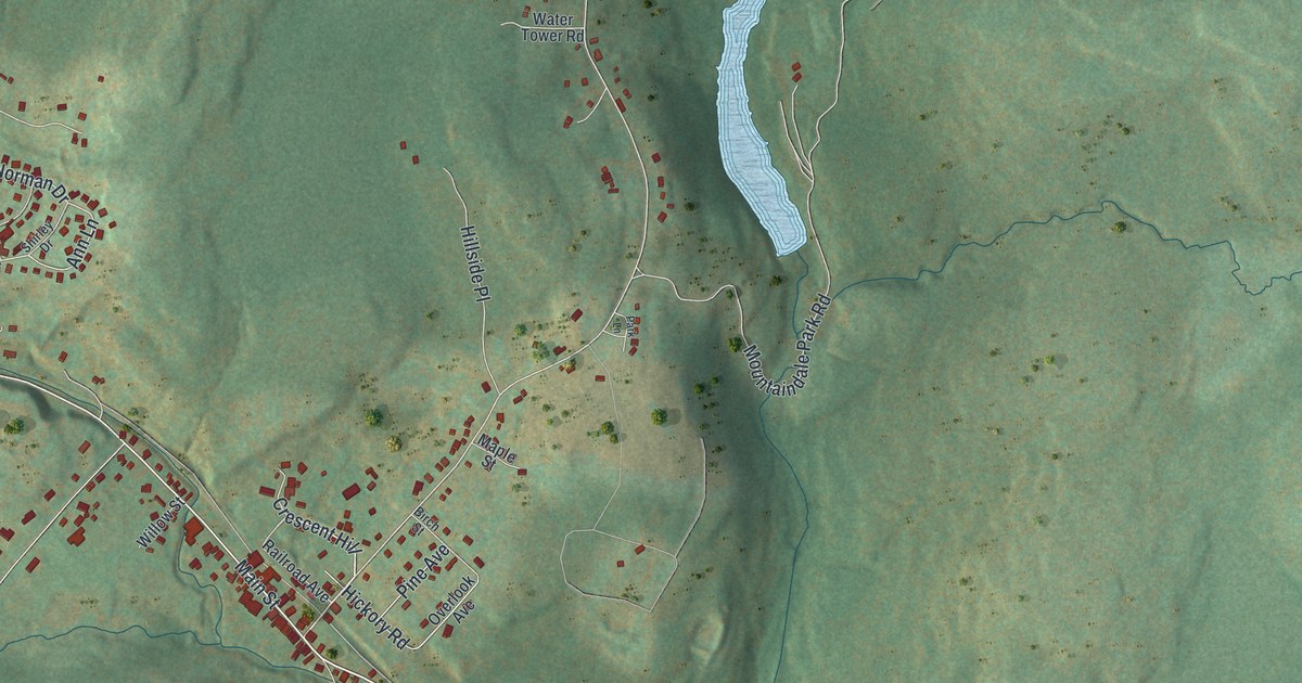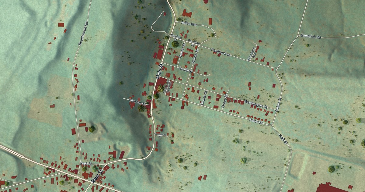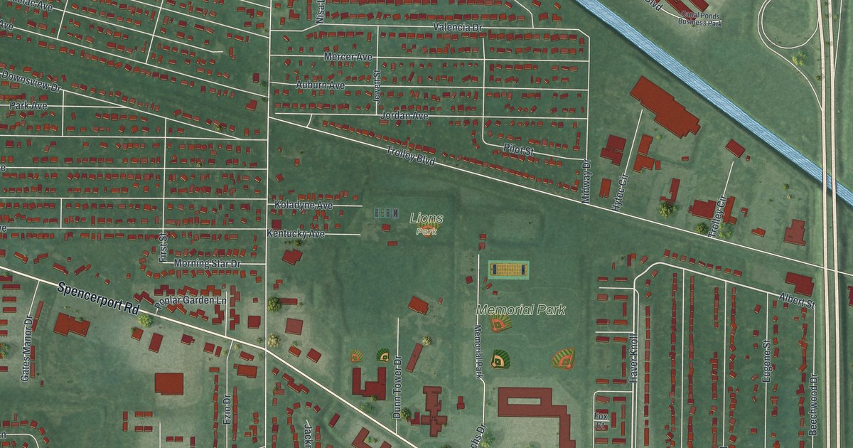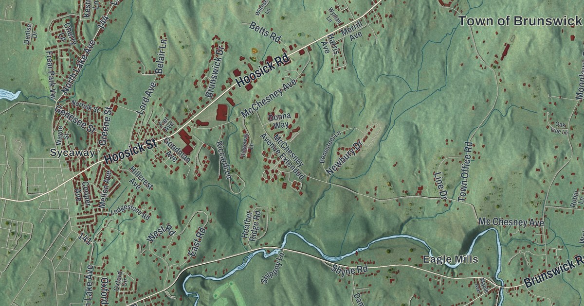
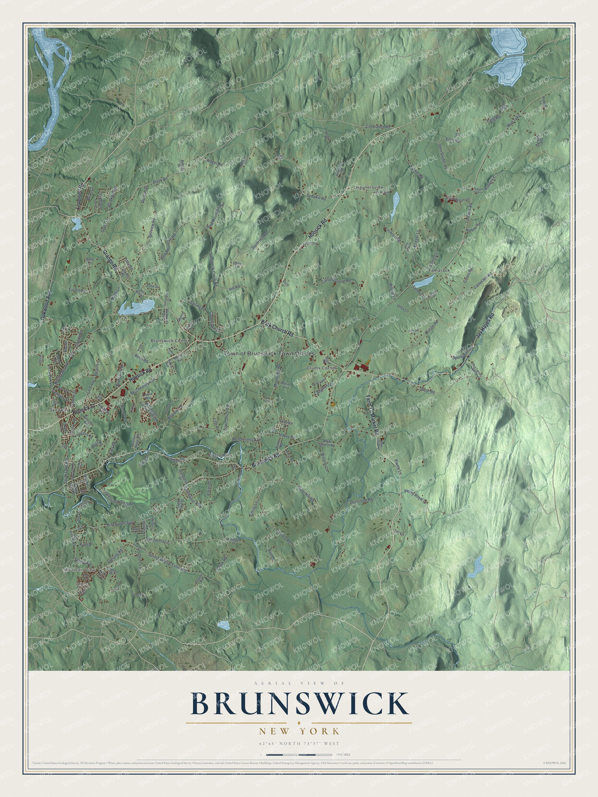
This beautifully detailed map of Brunswick, New York was created in 2026 using aerial imagery combined with modern topographical, census, street and landmark data. It’s a one-of-a-kind view of Brunswick that combines accurate data with a vintage aesthetic. The map shows every building in its true location, many of the roads carry their names, and the shaded topographic relief shows the shape of the land.
Explore an aerial view of Brunswick, New York
On the map you’ll find Albia, Mountain View, Brunswick Center, Clums Corner, and Eagle Mills, along with Hoosick Road, Hoosick Street, Brunswick Road, Farm To Market Road, Grange Road, and more. If you look closely you can even find your house accurately drawn in its correct location. Zoom in on the preview to look for yours.
Did You Know?
Brunswick’s first settlers arrived between 1711 and 1715, at Haynersville. Many were German Palatines who had volunteered for a 1711 expedition against Canada in Queen Anne’s War. They liked the country they saw and came back to settle it. Haynersville took its name from the tavern Johannes Hayner Jr. opened there in 1772.
Take a closer look at the Brunswick map
Names on this map
These names are printed on this map.
Places: Town of Brunswick Town Offices, Albia, Mountain View, Brunswick Center, Clums Corner, Eagle Mills, Haynersville, Sycaway and Tamarack.
Streets and roads: Hoosick Road, Hoosick Street, Brunswick Road, Farm To Market Road, Grange Road, Jay Hayes Road, Brick Church Road, Oakwood Avenue, Leversee Road, Pinewoods Avenue, Plank Road, Cooksboro Road.
More street names, A to Z
Bald Mountain Road, Belair Lane, Bells Lane, Bellview Road, Bentley Drive, Berkshire Drive, Betts Road, Birchkill Lane, Bleakley Avenue, Blue Factory Hill Road, Bonesteel Lane, Bornt Road, Bott Lane, Brian Court, Brunswick Drive, Brunswick Park Drive, Buck Road, Bulson Road, Camel Hill Road, Carrolls Grove Road, Cherry Lane, Chester Court, Church Street, Cloverlawn Road, Colehamer Avenue, Cole Lane, Cole Lane Extended, Coons Road, Cooper Avenue, Cranston Road, Creek Road, Curtis Lane, Damascus Drive, Darling Road, Dater Hill Road, Dearstyne Road, Deepkill Road, Denise Drive, Donna Way, Downey Road, Duncan Drive, Dusenberry Lane, Eagle Ridge Drive, East Road, Eddy Lane, Eddy Road, Ethier Drive, Farrell Road, Fiet Avenue, Fitting Lane, Flower Road, Frear Park Vw, Garfield Road, Gene Avenue, Genesee Street, Goodman Avenue, Greene Street, Gypsy Lane, Hakes Road, Harris Avenue, Heather Ridge Road, Herrington Lane, Higbee Road, Hillcrest Avenue, Hill Road, Hoban Lane, Howe Lane, Hudson Drive, Indian Creek Lane, John Snyder Road, Joy Lane, Kestner Lane, Krieger Lane, Langmore Lane, Lang Road, Langstaff Lane, Lansing Road, Ledgestone Road, Liberty Road, Lindsay Drive, Line Drive, Lockrow Road, Lord Avenue, Maple Avenue, Mc Chesney Avenue, McChesney Avenue, McChesney Avenue Extended, Meadowview Drive, Mellon Avenue, Menemsha Lane, Merrill Avenue, Mickel Hill Road, Miller Lane, Moonlawn Road, Mud Turnpike, Muriel Lane, Muskrat Road, Myers Road, Newbury Drive, Norfolk Street, Norman Lane, North Lake Avenue, North Langmore Lane, O'Brien Lane, Oak Tree Lane, Old Route 42, Old Siek Road, Oxford Circle, Oxford Road, Packer Avenue, Penny Royal Lane, Petticoat Lane, Pinegrove Drive, Pineview Avenue, Plante Lane, Pleasantview Avenue, Riccardi Lane, Ridge Road, Ridgeway Lane, Riding Club Road, Rifenburg Road, Roberts Lane, Robin Lane, Russell Court, Rutledge Lane, Scott Drive, Sharpe Road, Shippey Lane, Shyne Road, Skyline Drive, Smith Hill Road, South Lake Avenue, South Road, Sportsman Road, Spring Avenue, Spring Avenue Extended, Sweeney Drive, Sweetmilk Creek Road, Tamarac Road, Tambul Lane, The Crossways, Town Office Road, Troy Country Club Road, Tybush Lane, Urba Lane, Victoria Avenue, Vista Road, Wager Road, Walter Road, Wayne Street, Westbrook Street, West Road, White Church Lane, White Church Road, Wiegner Lane, Willard Lane, Wilrose Lane, Windfield Lane, Windy Acres Road, Wyck Lane, Wyman Lane.
See it on a wall
The Brunswick map as a framed print. Swipe for more.


This beautifully detailed map of Brunswick makes an attractive addition to your office, library, or den, and it can even be used to teach children the geography and history of the area. It also makes a great gift for someone who left Brunswick and still calls it home. When you’re done exploring, click here to get your copy of the Brunswick map.