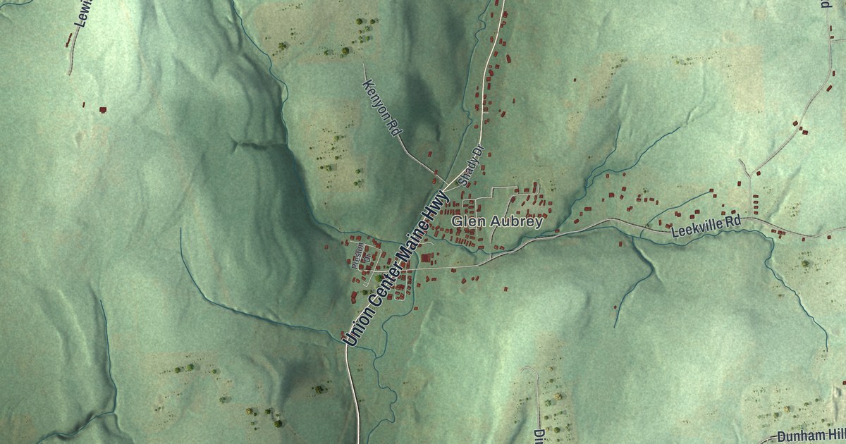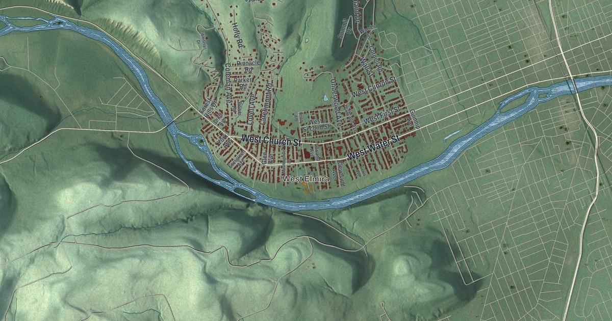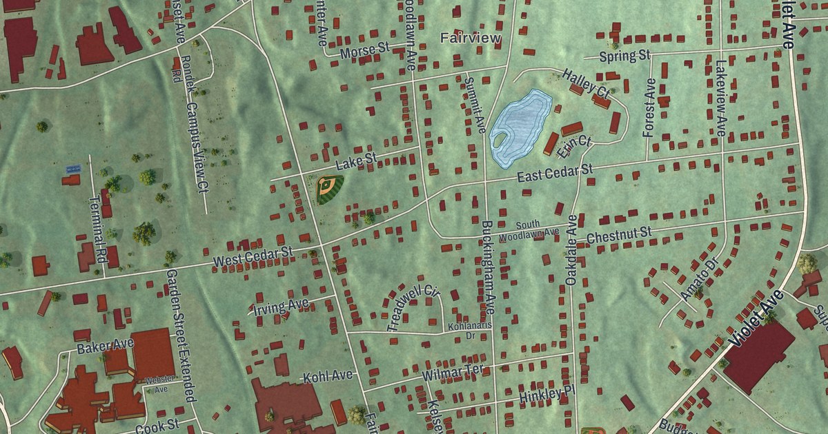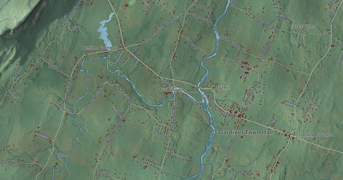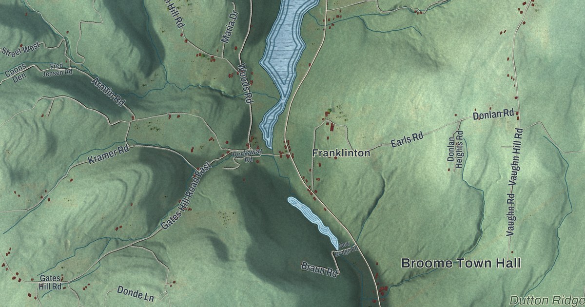
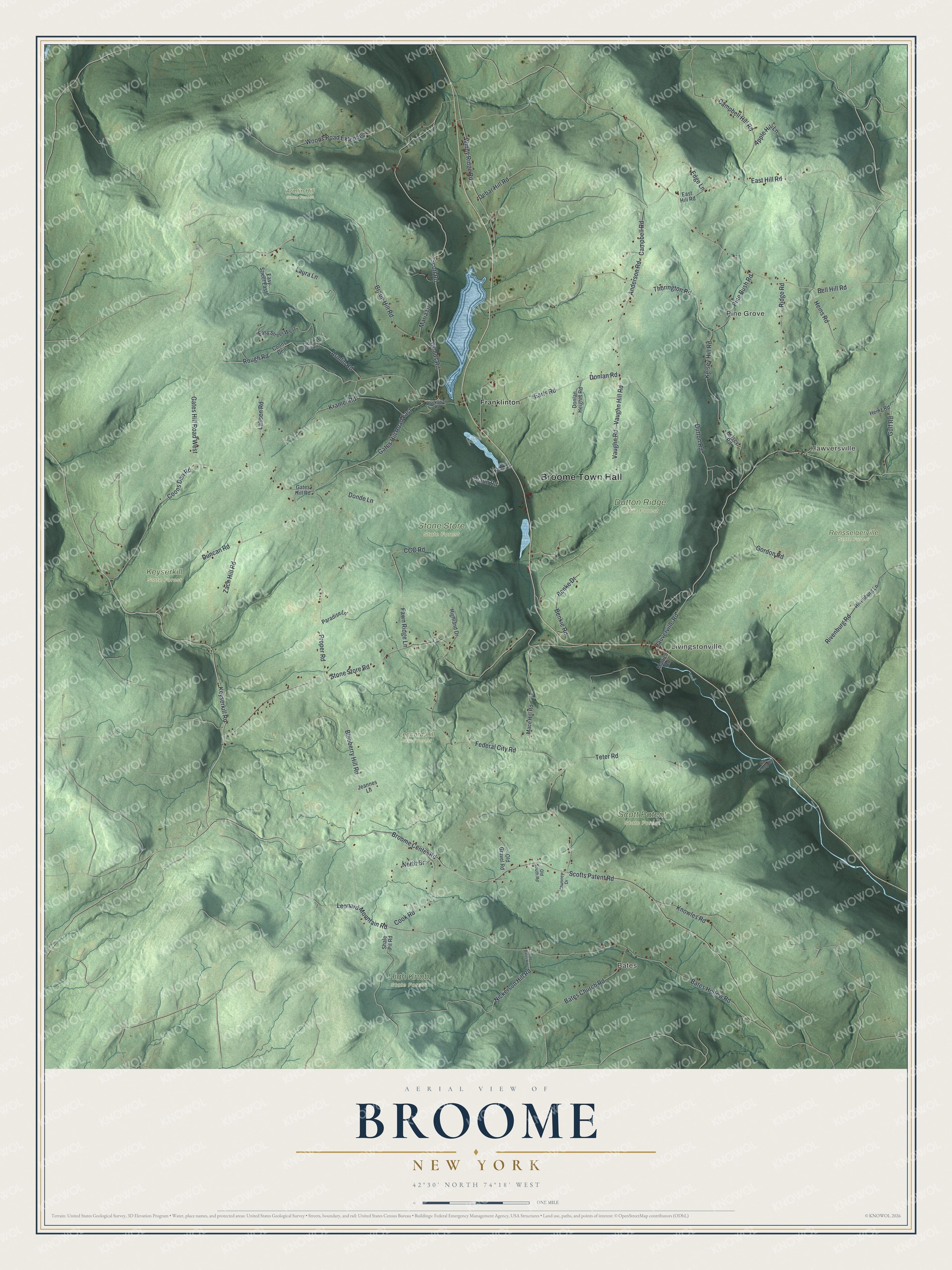
This beautifully detailed map of Broome, New York was created in 2026 using aerial imagery combined with modern topographical, census, street and landmark data. It’s a one-of-a-kind view of Broome that combines accurate data with a vintage aesthetic. The map shows every building in its true location, many of the roads carry their names, and the shaded topographic relief shows the shape of the land.
Explore an aerial view of Broome, New York
On the map you’ll find Broome Town Hall, Bates, Hawversville, Pine Grove, Livingstonville, Franklinton, Armlin Hill State Forest, Dutton Ridge State Forest, High Knob State Forest, and Keyserkill State Forest, along with Keyserkill Road, Gulf Road, Bell Hill Road, Scotts Patent Road, and more. If you look closely you can even find your house accurately drawn in its correct location. Zoom in on the preview to look for yours.
Did You Know?
Few settlers came here until after the American Revolution. When Schoharie County was formed in 1797, this was one of its six first towns, then called Bristol. In 1808 the name changed to Broome, in honor of John Broome.
Take a closer look at the Broome map
Names on this map
These names are printed on this map.
Places: Broome Town Hall, Bates, Hawversville, Pine Grove, Livingstonville, Armlin Hill State Forest, Dutton Ridge State Forest, High Knob State Forest, Keyserkill State Forest, Leonard Hill State Forest, Rensselaerville State Forest, Scott Patent State Forest, Stone Store State Forest and Franklinton.
Streets and roads: Keyserkill Road, Gulf Road, Bell Hill Road, Scotts Patent Road, Heins Road, Donlan Road, Anderson Road, Nickerson Hill Road, Broome Center Road, Leonard Mountain Road, Federal City Road, Armlin Road.
More street names, A to Z
Apple Hill Lane, Bates Church Road, Bates Hollow Road, Benke Drive, Benkie Road, Blueberry Hill Road, Braun Hill Road, Braun Road, Campbell Hill Road, Campbell Road, CC Camp Road, CCC Road, Chimney Drive, Cook Road, Coons Den, Coons Den Road, Debar Hill Road, Donde Lane, Donlan Heights Road, Duncan Road, Dutton Road, Earls Road, East Hili Road, East Hill Road, Easy Street East, Easy Street West, Edge Lane, Fawn Ridge Lane, Fred Jensen Road, Gates Hill Road, Gates Hill Road East, Gates Hill Road West, Gordon Road, Hauverville Road, Heinz Road, Highland Drive, Jeannes Lane, Kelsey Hill Road, Kelsey Road, Knowles Road, Kramer Road, Lassen Road, Laura Lane, Mace Hill Road, Maria Drive, Mattice Road, New Bridge Road, North Drive, Old Gravel Road, Old South Road, Paradise Lane, Pine Bush Road, Proper Road, Ray Bates Road, Ridge Road, Rivenburg Lane, Rivenburg Road, Rockaway Road, Rough Road, Scott Road, Shale Pit Road, Stone Store Road, Teter Road, Thorington Road, Vaughn Hill Road, Vaughn Road, Windy Ridge Road, Woods Road, Woods Road Extended, Zach Hill Road.
See it on a wall
The Broome map as a framed print. Swipe for more.


This beautifully detailed map of Broome makes an attractive addition to your office, library, or den, and it can even be used to teach children the geography and history of the area. It also makes a great gift for anyone who grew up in Broome or moved away. When you’re done exploring, click here to get your copy of the Broome map.