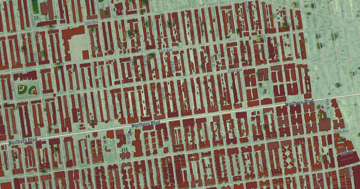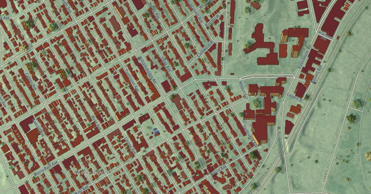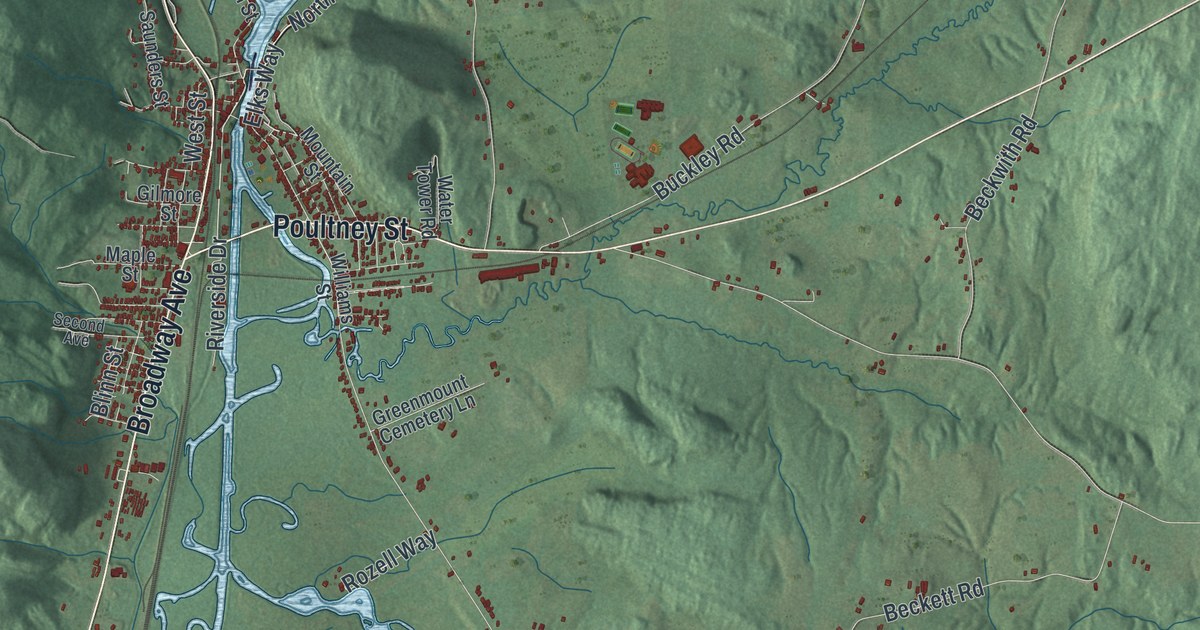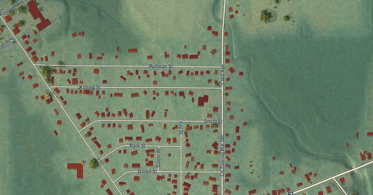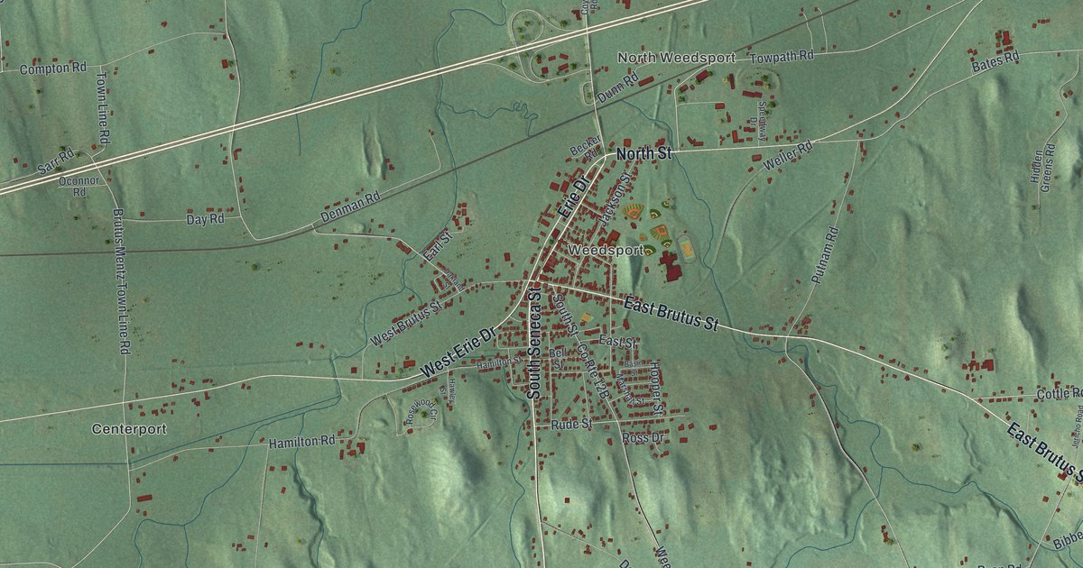
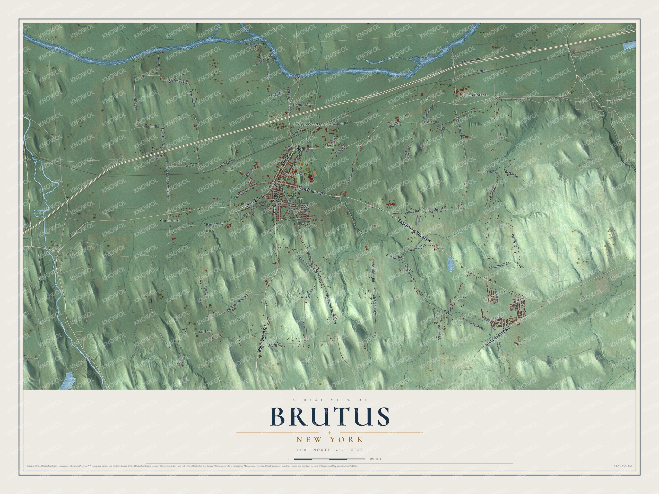
This beautifully detailed map of Brutus, New York was created in 2026 using aerial imagery combined with modern topographical, census, street and landmark data. It’s a one-of-a-kind view of Brutus that combines accurate data with a vintage aesthetic. The map shows every building in its true location, many of the roads carry their names, and the shaded topographic relief shows the shape of the land.
Explore an aerial view of Brutus, New York
On the map you’ll find Pump Corners, Weedsport, North Weedsport, and Centerport, along with Seneca Street, North Street, Street Road, Brutus Street, Brutus Street Road, and more. If you look closely you can even find your house accurately drawn in its correct location. Zoom in on the preview to look for yours.
Did You Know?
Brutus lay within the Central New York Military Tract. A clerk with a love of the classics gave the town its name. It split from Aurelius in March 1802, and residents held their first town meeting a year later.
Take a closer look at the Brutus map
Names on this map
These names are printed on this map.
Places: Pump Corners, Weedsport, North Weedsport and Centerport.
Streets and roads: South Seneca Street, North Street, North Street Road, East Brutus Street, East Brutus Street Road, Erie Drive, West Erie Drive, Grant Avenue Road, Towpath Road, Rude Street, Clinton Road, Brutus Road.
More street names, A to Z
Baker Road, Ball Road, Barker Road, Basin Street, Bates Road, Becker Road, Bell Street, Bentley School Road, Bibbens Road, Bonta Bridge Road, Brutus Mentz Town Line Road, Campground Road, Cedar Lane, Chamberlin Road, Clements Road, Compton Road, Cooper Road, Cottle Road, County Route 14, County Route 105, Coyle Road, Daisy Lane, Day Road, Denman Road, Downs Road, Dunn Road, Earl Street, East Street, Fietta Lane, Fourth Drive, Hall Road, Hamilton Road, Hamilton Street, Hawley Street, Henderson Lane, Hewitt Lane, Hidden Greens Road, Hollywood Road, Hooper Street, Hoyt Road, Jackson Street, Jericho Road, Jericho Road Extended, Lippoldt Road, Lower Lane, Marshall Street, Mills Road, Mower Road, Oakland Road, Oakland Street, Oconnor Road, Pierce Road, Pump Road, Putnam Road, Riverforest Road, Rosewood Circle, Ross Drive, Ryan Road, Sarr Road, Shepherd Road, South Street, Speedway Drive, Stein Road, Stevens Road, Stickle Road, Tanner Road, Town Line Road, Trombley Road, Weedsport-Sennett Road, Weedsport Sennett Road, Weller Road, West Brutus Street, Woodside Lane.
See it on a wall
The Brutus map as a framed print. Swipe for more.


This beautifully detailed map of Brutus makes an attractive addition to your office, library, or den, and it can even be used to teach children the geography and history of the area. It also makes a great gift for someone who left Brutus and still calls it home. When you’re done exploring, click here to get your copy of the Brutus map.