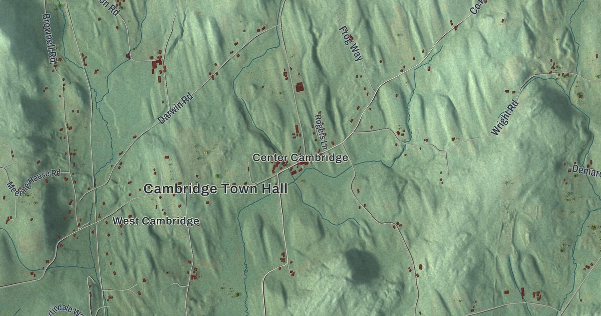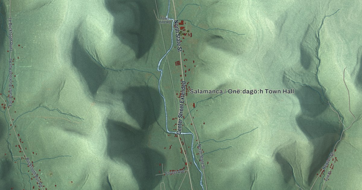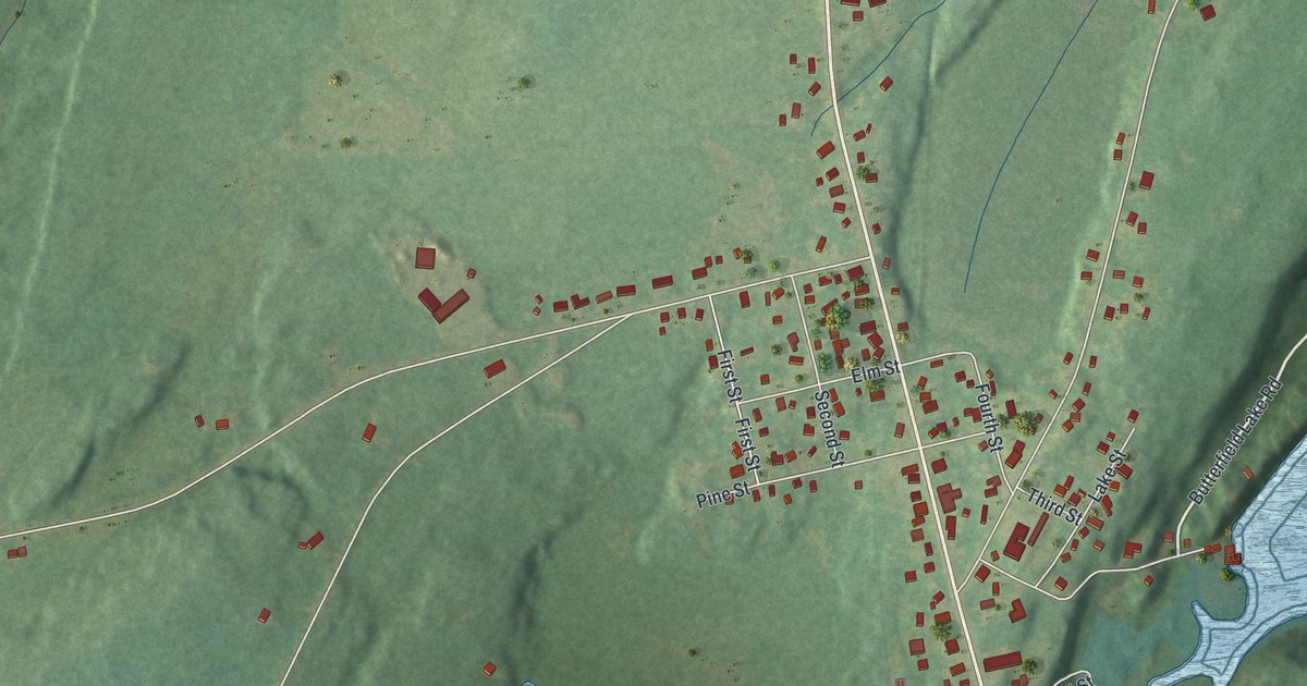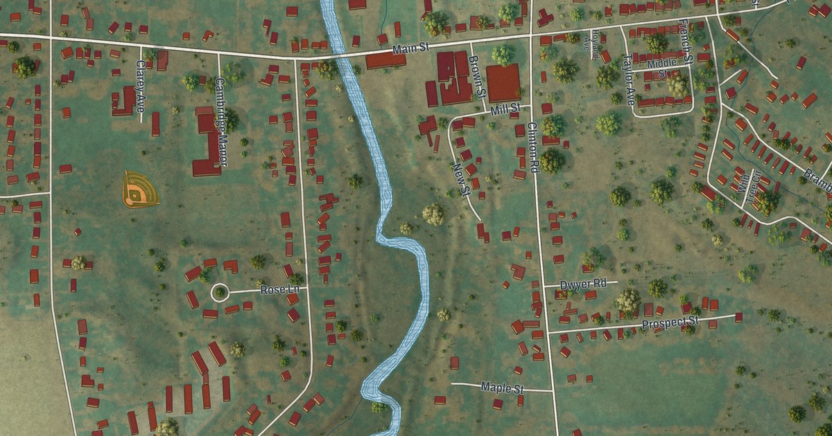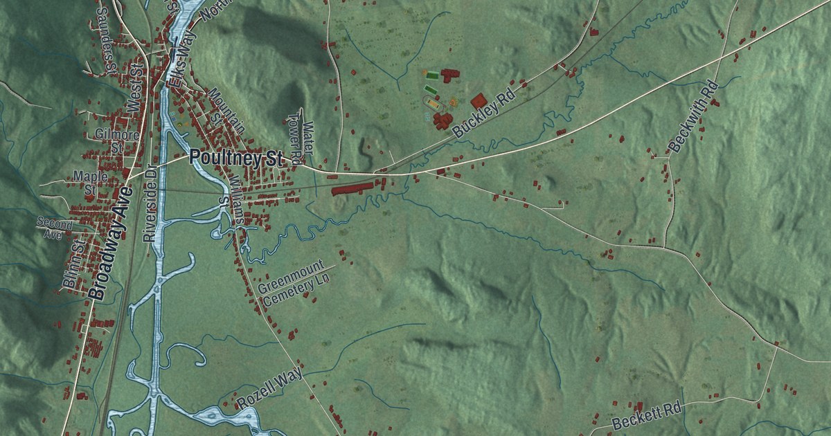
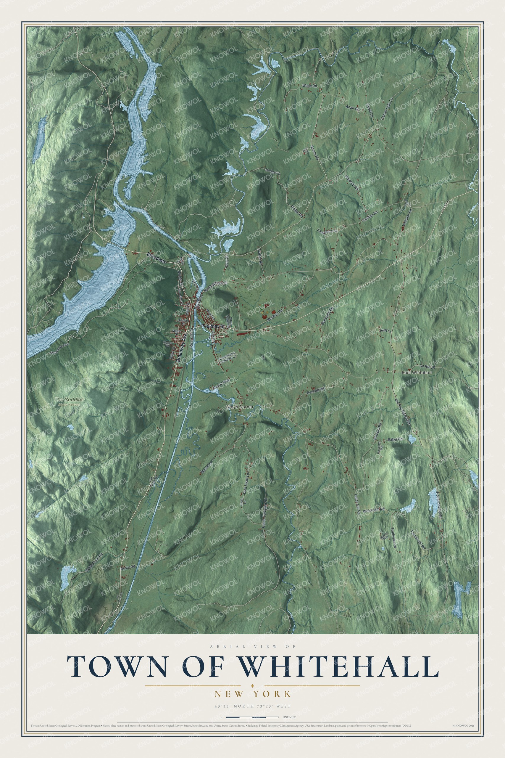
This beautifully detailed map of the Town of Whitehall, New York was created in 2026 using aerial imagery combined with modern topographical, census, street and landmark data. It’s a one-of-a-kind view of the Town of Whitehall that combines accurate data with a vintage aesthetic. The map shows every building in its true location, many of the roads carry their names, and the shaded topographic relief shows the shape of the land.
Explore an aerial view of the Town of Whitehall, New York
On the map you’ll find East Whitehall, Grays Corner, and The Saddles State Forest, along with Poultney Street, Broadway Avenue, Elks Way, Sciota Road, Old Fair Haven Road, and more. If you look closely you can even find your house accurately drawn in its correct location. Zoom in on the preview to look for yours.
Did You Know?
In 1930, the owners of Whitehall’s silk mill shut it down and wrecked the machinery. Hundreds of people lost their jobs. The townspeople quickly raised money, bought the mill and new equipment, and formed Champlain Spinners. By 1940 the new company was still running with success. That’s from the 1940 WPA guide to New York.
Take a closer look at the Town of Whitehall map
Names on this map
These names are printed on this map.
Places: East Whitehall, Grays Corner and The Saddles State Forest.
Streets and roads: Broadway, Poultney Street, Broadway Avenue, Elks Way, Sciota Road, Old Fair Haven Road, Upper Turnpike Road, Hatch Hill Road, Carlton Road, Winters Road, Holcombville Road, Dodge Lane.
More street names, A to Z
Abair Road, Baker Road, Beckett Road, Beckwith Road, Blinn Street, Buckley Road, Carver Falls Lane, Chapman Road, County Route 18, Death Rock Way, Dick Hyatt Lane, Dodge Road, Doig Street, Dolph Pond Road, Gilmore Street, Glasser Way, Gould Lane, Greenmount Cemetery Lane, Hollister Road, Hyatt Lane, Lamphere Lane, Main Street, Maple Street, Morse Lane, Mountain Street, Neddo Street, North Street, North William Street, Old State Road, Pauquette Way, Perry Lane, Riverside Drive, Rozell Way, Ryder Road, Saunders Street, Second Avenue, Stalker Road, Tanner Hill Road, Truthville Road, Van Tassell Road, Wade Road, Ward Road, Water Tower Road, Welch Hill Road, Wescott Road, West Street, Williams Street.
See it on a wall
The Whitehall map as a framed print. Swipe for more.


This beautifully detailed map of the Town of Whitehall makes an attractive addition to your office, library, or den, and it can even be used to teach children the geography and history of the area. It also makes a great gift for anyone who grew up in the Town of Whitehall or moved away. When you’re done exploring, click here to get your copy of the Town of Whitehall map.