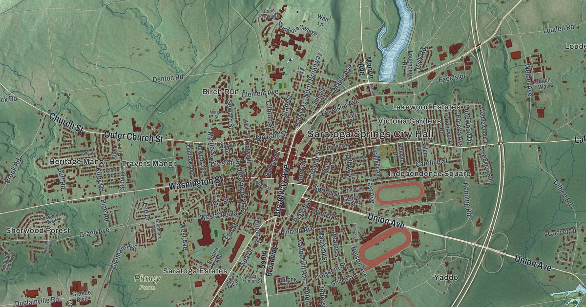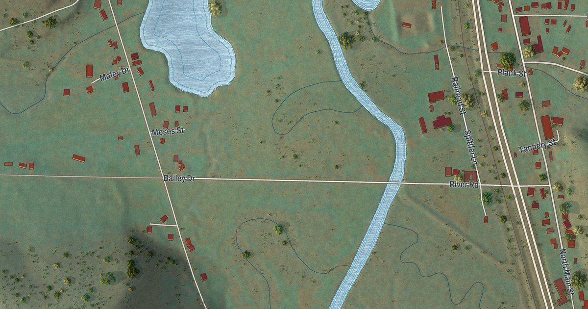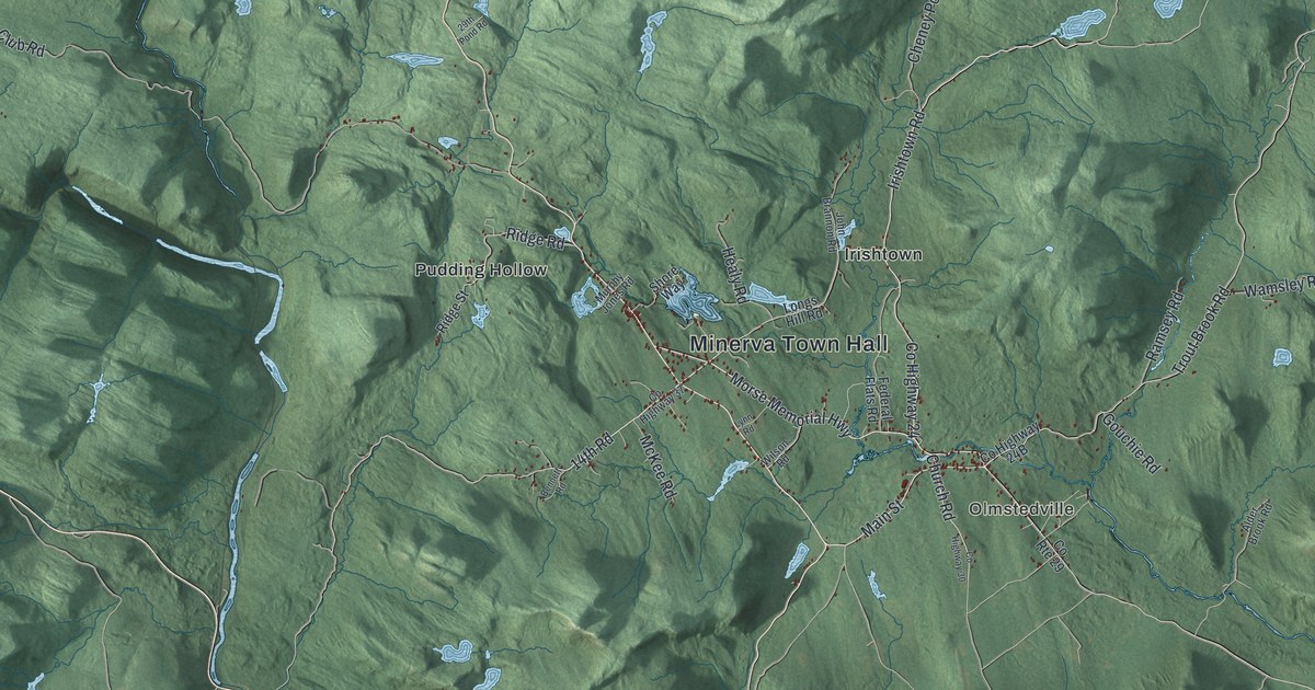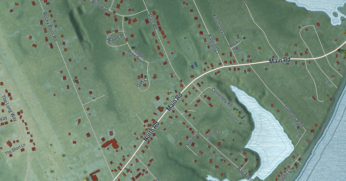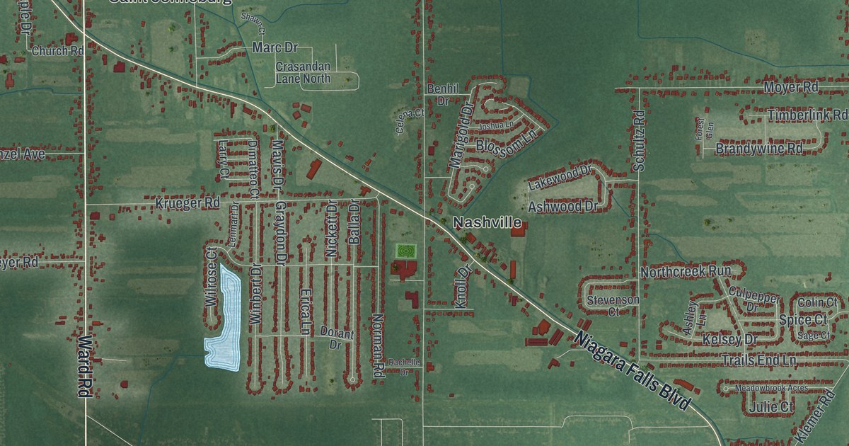
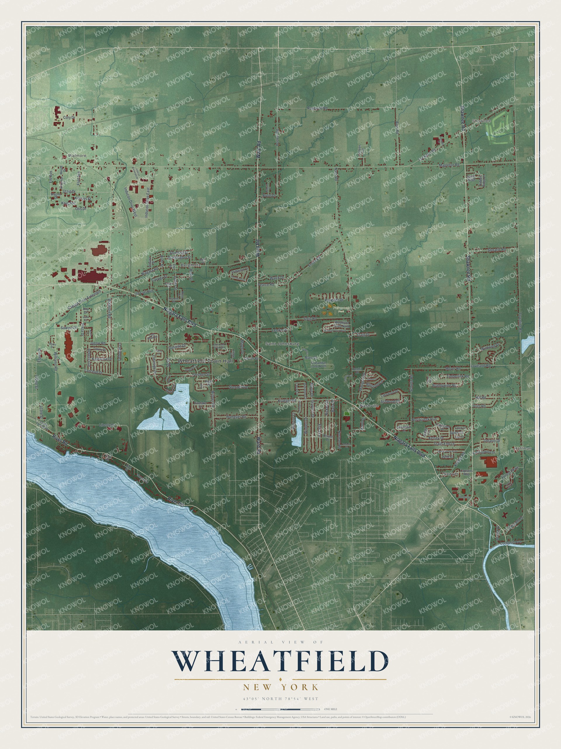
This beautifully detailed map of Wheatfield, New York was created in 2026 using aerial imagery combined with modern topographical, census, street and landmark data. It’s a one-of-a-kind view of Wheatfield that combines accurate data with a vintage aesthetic. The map shows every building in its true location, many of the roads carry their names, and the shaded topographic relief shows the shape of the land.
Explore an aerial view of Wheatfield, New York
On the map you’ll find Wheatfield Town Hall, Hoffman, Shawnee, Walmore, Bergholtz, Nashville, and Fairmount Park, along with Ward Road, Niagara Falls Boulevard, Shawnee Road, River Road, and more. If you look closely you can even find your house accurately drawn in its correct location. Zoom in on the preview to look for yours.
Did You Know?
Wheatfield got its name from its rich clay loam, ideal ground for wheat. Voters gathered for the first meeting of the new town in June 1836. German newcomers arrived from 1843 and built a hamlet called Bergholz. It honored a German village with that same name.
Take a closer look at the Wheatfield map
Names on this map
These names are printed on this map.
Places: Wheatfield Town Hall, Hoffman, Shawnee, Walmore, Fairmount Park, Bergholtz, Nashville, Saint Johnsburg and Sawyer.
Streets and roads: Ward Road, Niagara Falls Boulevard, Shawnee Road, River Road, Hoover Road, 102nd Street, Niagara Road, Lockport Road, Townline Road, Nash Road, Walmore Road, Errick Road.
More street names, A to Z
103rd Street, Alder Creek Drive North, Amy Drive, Arnold Drive, Ashley Lane, Ashwood Drive, Baer Road, Balla Drive, Benhil Drive, Blossom Lane, Brandywine Road, Brent Drive, Brian Lane, Captains Way, Cayuga Drive Extended, Cayuga Street, Celena Court, Church Road, Colin Court, Colleen Terrace, Commerce Drive, Cory Drive, Craig Drive, Crasandan Lane North, Crescent Drive, Culpepper Drive, Danielle Drive, Deborah Lane, Deuro Drive, Dimatteo Court, Dorant Drive, Driftwood Drive, Elaine Drive, Ent Avenue, Erica Lane, Ferchen Street, Flint Avenue, Forest Glen, Forest Lake Drive, Forest Parkway, Fritz Road, Graydon Drive, Hidden Ridge Lane, Hill Road, Hird Street, Homeyer Road, Hunt Street, Inducon Corporate Drive, Inducon Drive East, Inducon Drive West, Jagow Road, Joann Court, Joshua Lane, Julie Court, Katherine Drive, Kelsey Drive, Kinross Street, Kirkbridge Drive, Klemer Road, Knoll Drive, Knottingwood Drive, Krueger Road, Krug Avenue, Lake Mead Road, Lakeside Drive, Lakewood Drive, Lancelot Drive, Larry Court, Lasalle Expressway, Lemke Drive, Lendell Drive, Lenmart Drive, Liberty Drive, Lockport Avenue, Loveland Road, Luther Street, Maple Drive, Mapleton Road, Marc Drive, Marigold Drive, Mavis Drive, Meadowbrook Acres, Milleville Circle, Moyer Road, Nickett Drive, Nickis Lane, Norman Road, Northcreek Run, Old Falls Boulevard, Ontario Drive, Osprey Lane, Otis Drive, Parkside Drive, Patel Drive, Pearce Road, Pinelake Drive, Plaza Drive, Rachelle Drive, Raymond Road, Rebecca Drive, Reynolds Road, Rock Dove Lane, Rohr Street, Rose Court, Sage Court, Sawyer Drive, Schultz Road, Schultz Street, Shawn Court, Skylark Lane, Slusaric Road, Spice Court, Steig Road, Stenzel Avenue, Stevenson Court, Stoelting Drive, Stone Ridge, Sunset Drive, Sylvan Place, Sy Road, Tawny Drive, The Square, Thornwoods Drive, Timberlink Road, Trails End Lane, Utzig Drive, Village Drive, Violet Circle, Wagner Drive, Walck Drive, Washington Street, Wendt Drive, Wildwing Drive, Williams Road, Wilrose Court, Winbert Drive, Witmer Road, Woodland Court North, Woodland Court South, Wurl Street, York Road.
See it on a wall
The Wheatfield map as a framed print. Swipe for more.


This beautifully detailed map of Wheatfield makes an attractive addition to your office, library, or den, and it can even be used to teach children the geography and history of the area. It also makes a great gift for anyone with Wheatfield roots. When you’re done exploring, click here to get your copy of the Wheatfield map.