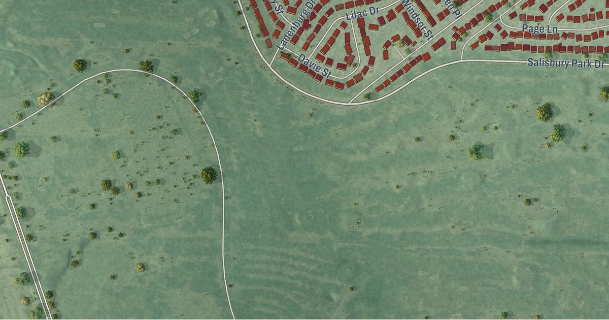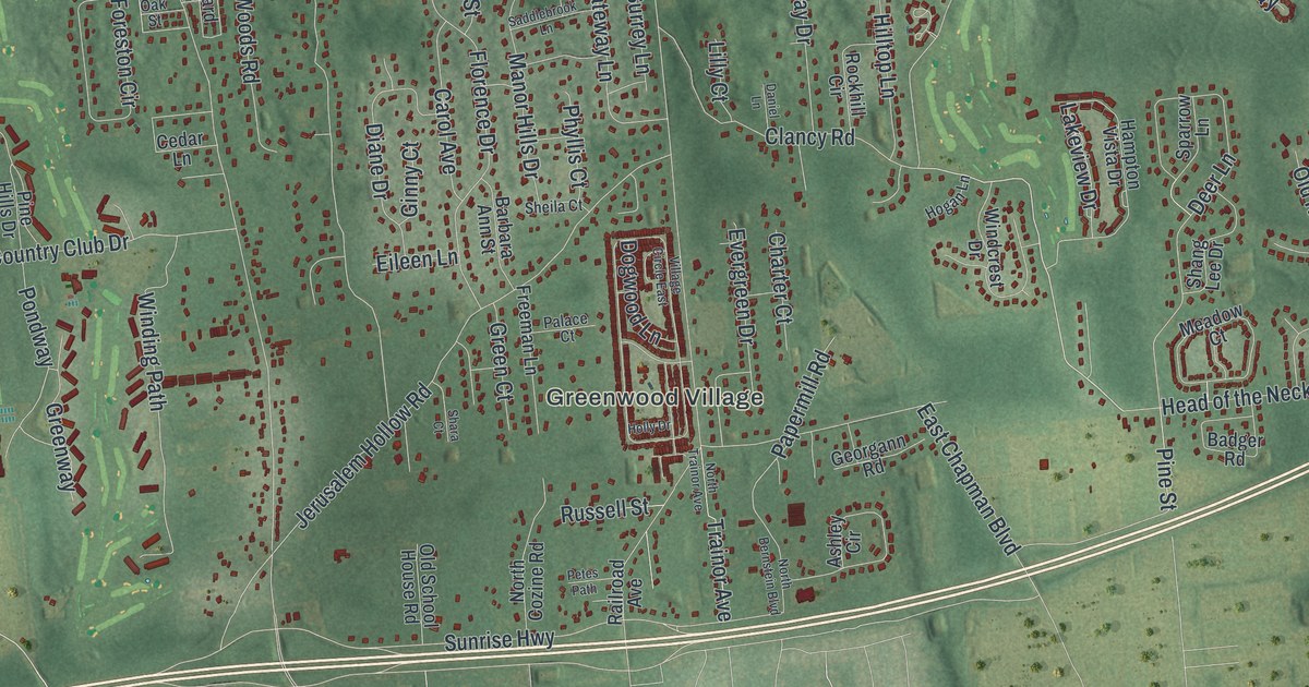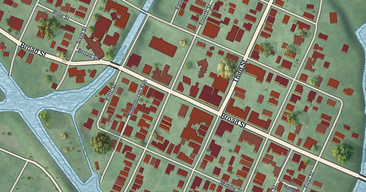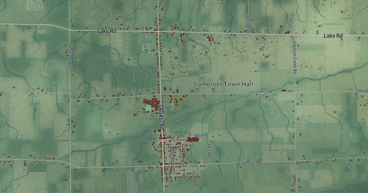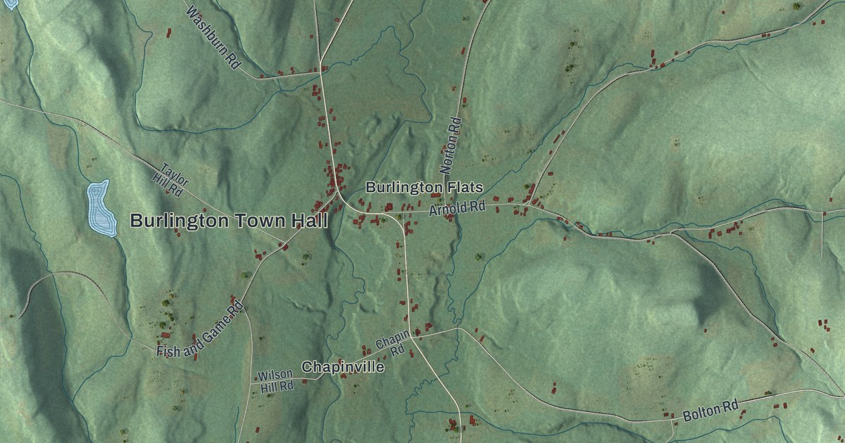
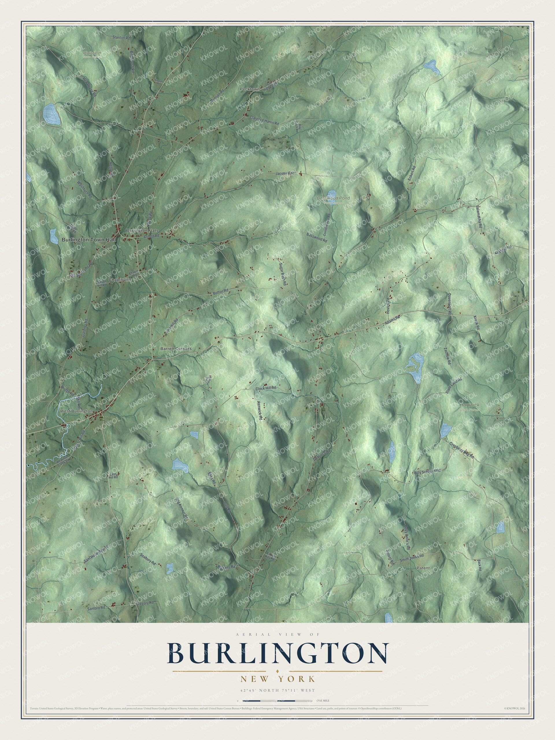
This beautifully detailed map of Burlington, New York was created in 2026 using aerial imagery combined with modern topographical, census, street and landmark data. It’s a one-of-a-kind view of Burlington that combines accurate data with a vintage aesthetic. The map shows every building in its true location, many of the roads carry their names, and the shaded topographic relief shows the shape of the land.
Explore an aerial view of Burlington, New York
On the map you’ll find Burlington Town Hall, Patent, Pecktown, West Burlington, Barrett Corners, Burlington Flats, Basswood Pond State Forest, Hartwick State Forest, and Plainfield State Forest, along with Parker Hill Road, Mill Road, Cranberry Bog Road, Santoro Road, and more. If you look closely you can even find your house accurately drawn in its correct location. Zoom in on the preview to look for yours.
Did You Know?
William Cooper and Andrew Craig, who owned early land patents here, named the town for Burlington, New Jersey. Its first settlers came from New England. The town was set off from Otsego on April 10, 1792.
Take a closer look at the Burlington map
Names on this map
These names are printed on this map.
Places: Burlington Town Hall, Patent, Pecktown, West Burlington, Basswood Pond State Forest, Hartwick State Forest, Plainfield State Forest, Barrett Corners, Burlington Flats and Chapinville.
Streets and roads: Parker Hill Road, Mill Road, Cranberry Bog Road, Santoro Road, Smith Jenks Road, Arnold Road, Bolton Road, Bliss Road, Red House Road, Jacobs Road, Gulf Road, Patent Road.
More street names, A to Z
Adams Road, Back Road, Basswood Road, Betty Anne's Road, Billy Cursh Road, Billy Schwerd Road, Bingham Road, Bridge Road, Chapin Road, Clarence Harris Road, Clock Hill Road, Conservation Road, County Highway 19, Davenport Road, Deminco Road, Dog Kennel Road, East Hill Road, Eckert Road, El Jen Kay Road, Fish and Game Road, Gardner Road, Gregory Road, Heppe Road, Hovick Road, John Hill Road, Kostelic Road, Kreck Road, Munson Road, Norton Road, Pickens Road, Ray Fitch Road, Renwick Road, Salamacha Road, Sam Holdridge Road, Seabury Road, Stanton Road, State Land Road, Sugar Bush Road, Taylor Hill Road, Three Ponds Drive, Washburn Road, Wharton Creek Road, Wilson Hill Road, Zachow Road.
See it on a wall
The Burlington map as a framed print. Swipe for more.


This beautifully detailed map of Burlington makes an attractive addition to your office, library, or den, and it can even be used to teach children the geography and history of the area. It also makes a great gift for someone who left Burlington and still calls it home. When you’re done exploring, click here to get your copy of the Burlington map.