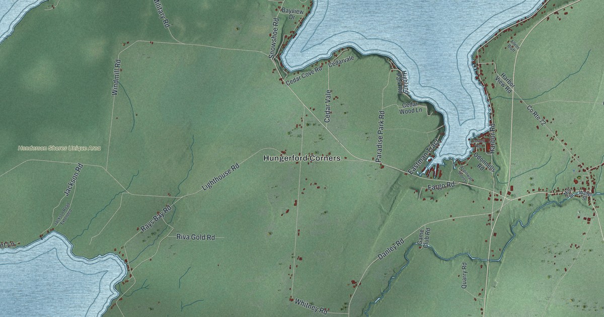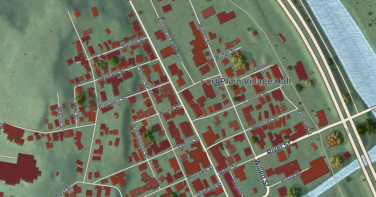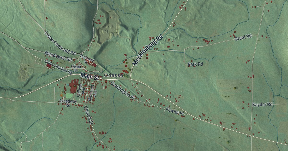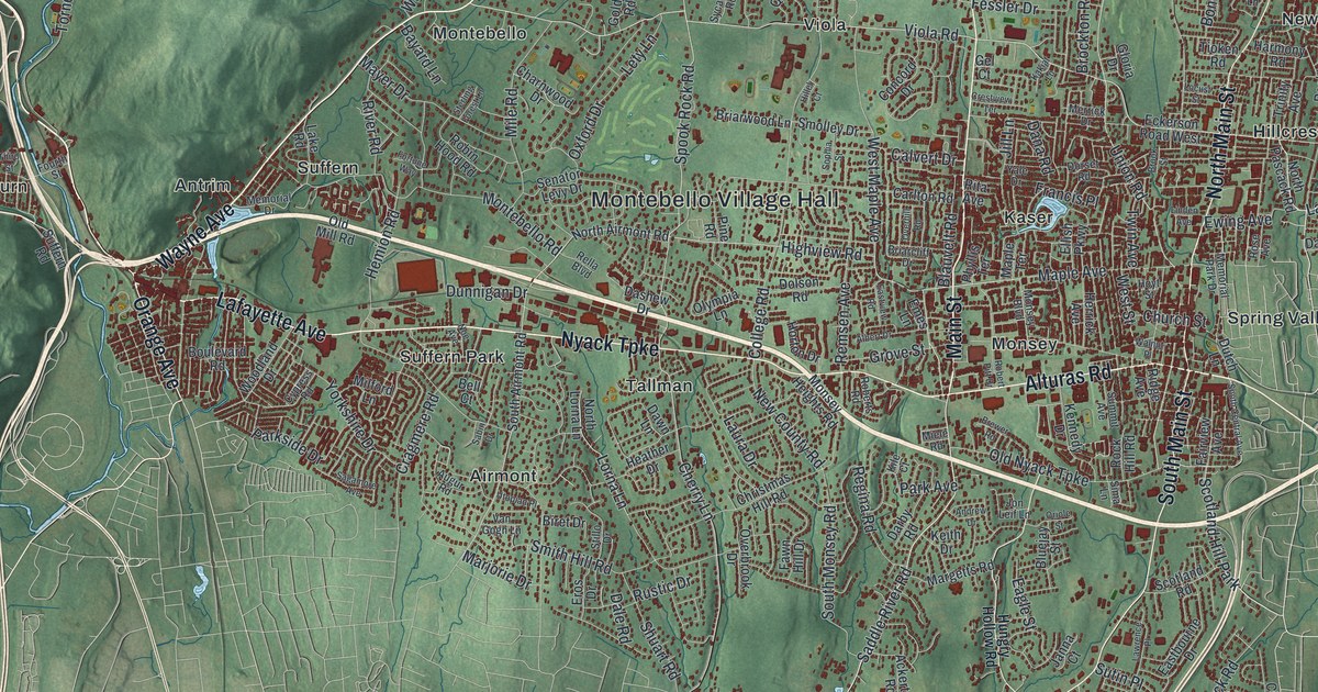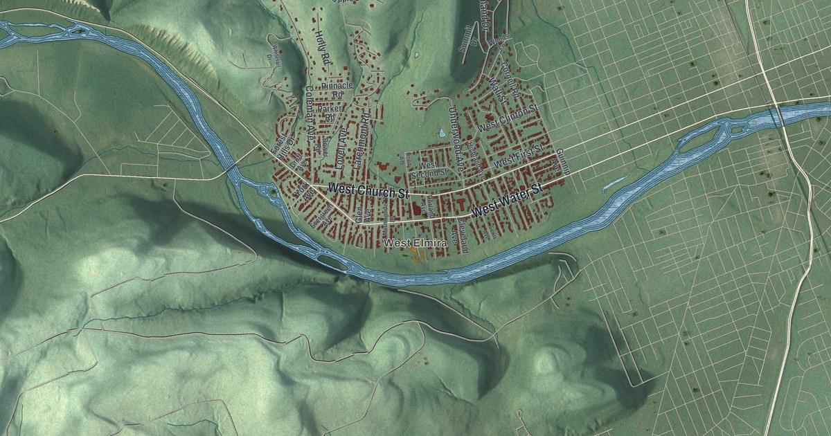
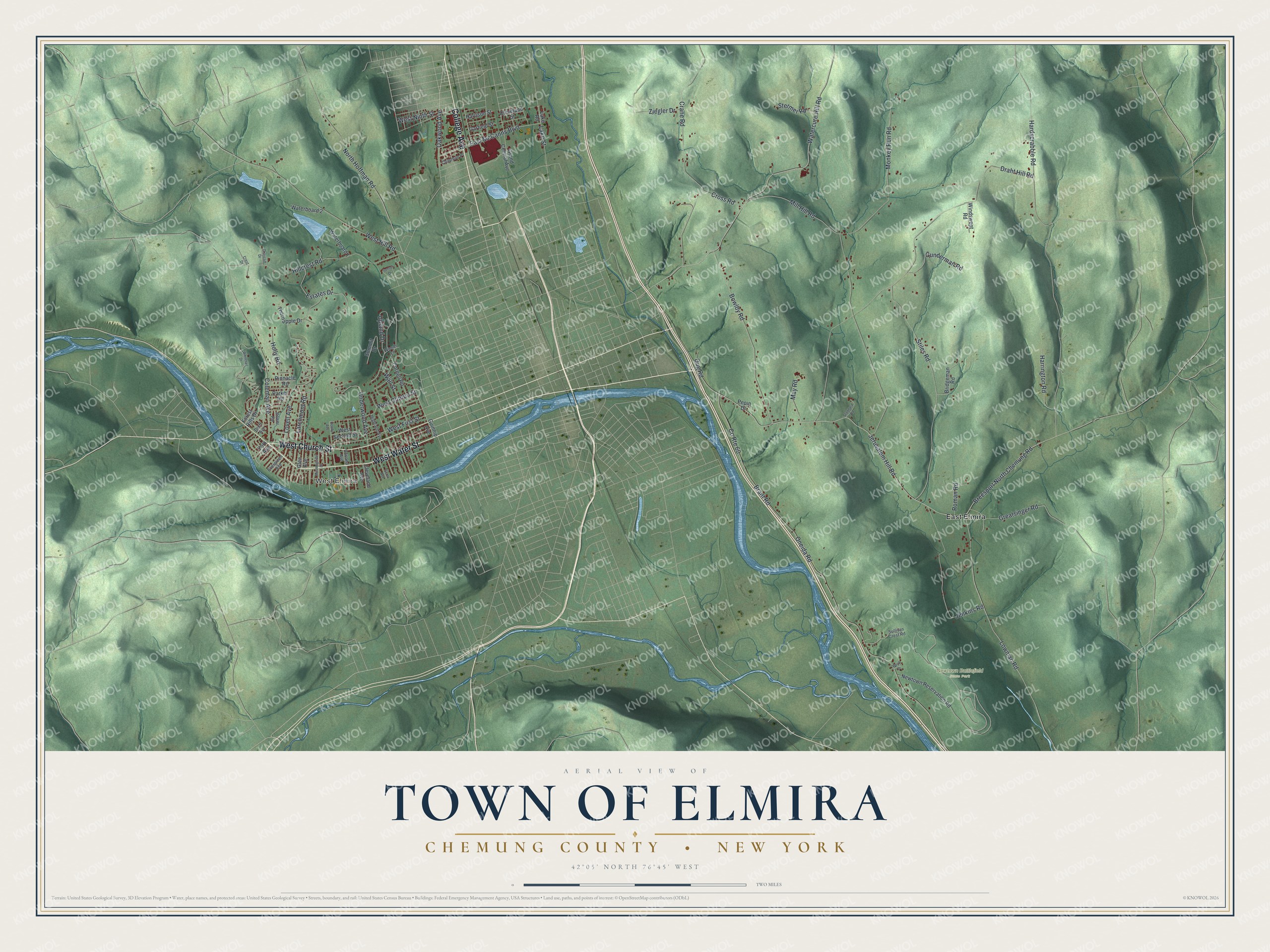
This beautifully detailed map of the Town of Elmira, Chemung County, New York was created in 2026 using aerial imagery combined with modern topographical, census, street and landmark data. It’s a one-of-a-kind view of the Town of Elmira that combines accurate data with a vintage aesthetic. The map shows every building in its true location, many of the roads carry their names, and the shaded topographic relief shows the shape of the land.
Explore an aerial view of the Town of Elmira, Chemung County, New York
On the map you’ll find West Elmira, East Elmira, and Newtown Battlefield State Park, along with College Avenue, Church Street, Water Street, Oakwood Avenue, McCanns Boulevard, and more. If you look closely you can even find your house accurately drawn in its correct location. Zoom in on the preview to look for yours.
Did You Know?
In 1779 the Sullivan Expedition fought the British at the Battle of Newtown. The fighting took place in what is now the southern part of the town of Elmira. When the town was formed from Chemung in 1792, it took the name Newtown. It changed its name to Elmira in 1808.
Take a closer look at the Town of Elmira, Chemung County map
Names on this map
These names are printed on this map.
Places: West Elmira, Newtown Battlefield State Park and East Elmira.
Streets and roads: College Avenue, West Church Street, West Water Street, Oakwood Avenue, East McCanns Boulevard, Jerusalem Hill Road, Watercure Hill Road, County Route 60, Draht Hill Road, Monkey Run Road, Stiles Road, Oneida Road.
More street names, A to Z
Bower Road, Bowlby Road, Boyd Drive, Brant Road, Breesport North Chemung Road, Bridgeman Road, Chapman Place, Cleveland Avenue, Cleveland Street, Coleman Avenue, Cornell Road, Crane Road, Crest Drive, Cross Road, Dug Road, Durland Avenue, Estates Drive, Evergreen Avenue, Forest Hills Drive, Garfield Street, Glen Avenue, Grand Central Avenue, Graycliff Drive, Greatsinger Road, Groff Avenue, Guinnip Avenue, Gunderman Road, Hardscrabble Road, Harrington Road, Harrison Street, Hendy Avenue, Highland Avenue, Hillcrest Road, Holly Road, Jenkins Road, Lake Road, Lake Street, Larchmont Road, Lovell Avenue, Lowman Road, May Road, Mill Hill Road, Morningside Drive, Newtown Reservation Road, North Hoffman Road, Parker Road, Pepin Drive, Pinnacle Road, Roman Road, Scott Avenue, Stannard Road, Stermer Road, Sullivan Crest Road, Summit Drive, Sunset Drive, Thornapple Drive, Underwood Avenue, Upland Drive, Wall Street, Waterboard 1, Waterboard 2, West Clinton Street, West First Street, West Hill Road, West Ninth Street, West Second Street, Whitetail Drive, Windswept Road, Woods Lane, York Avenue, Ziegler Drive.
See it on a wall
The Elmira, Chemung County map as a framed print. Swipe for more.


This beautifully detailed map of the Town of Elmira, Chemung County makes an attractive addition to your office, library, or den, and it can even be used to teach children the geography and history of the area. It also makes a great gift for someone who left the Town of Elmira and still calls it home. When you’re done exploring, click here to get your copy of the Town of Elmira, Chemung County map.