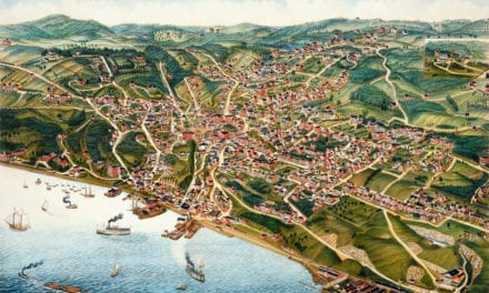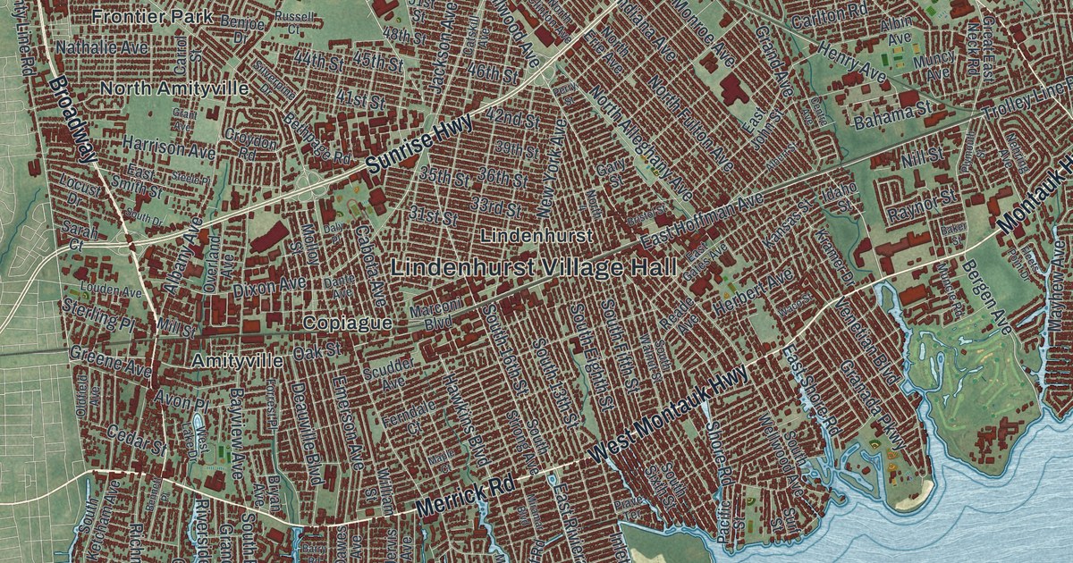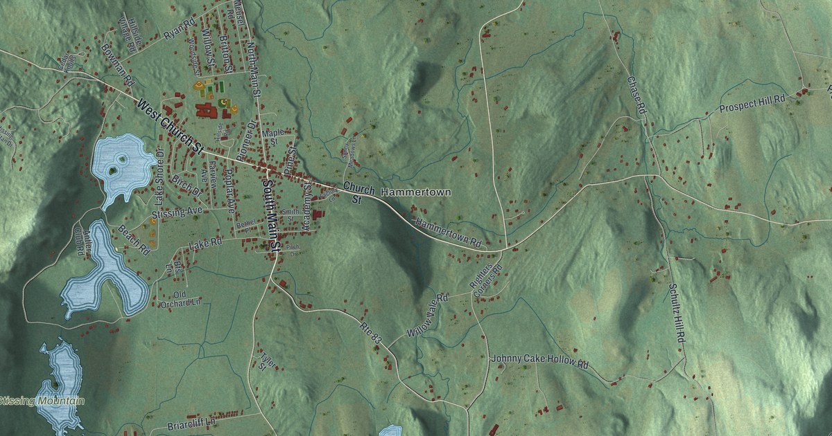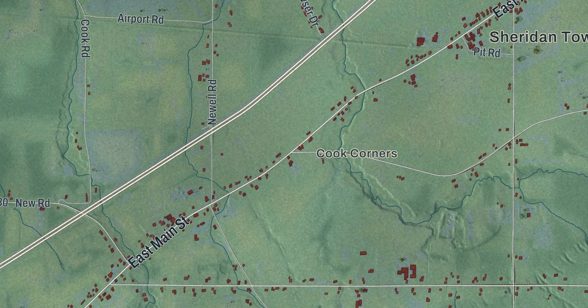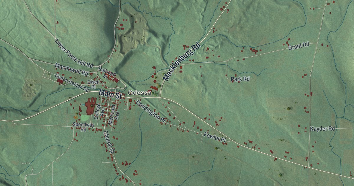
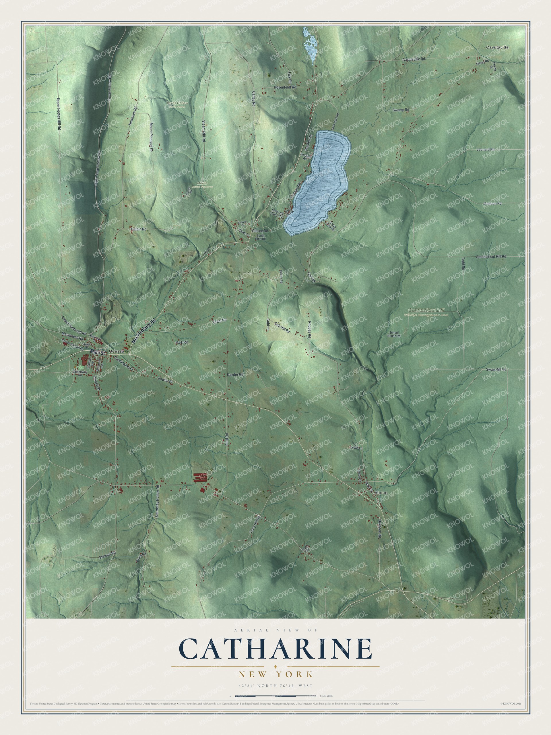
This beautifully detailed map of Catharine, New York was created in 2026 using aerial imagery combined with modern topographical, census, street and landmark data. It’s a one-of-a-kind view of Catharine that combines accurate data with a vintage aesthetic. The map shows every building in its true location, many of the roads carry their names, and the shaded topographic relief shows the shape of the land.
Explore an aerial view of Catharine, New York
On the map you’ll find Cayutaville, Odessa, Alpine, Connecticut Hill Wildlife Management Area, Martin Nature Preserve, and Texas Hollow State Forest, along with Main Street, Mecklenburg Road, Swan Hill Road, Beranek Road, Terry Hill Road, and more. If you look closely you can even find your house accurately drawn in its correct location. Zoom in on the preview to look for yours.
Did You Know?
The town honors Catherine Montour, a Native American leader and interpreter in the region. A Seneca village known as Catharine’s Town once stood near the falls. Colonial troops destroyed it during the Sullivan Expedition of 1779. The state legislature created the town in 1798.
Take a closer look at the Catharine map
Names on this map
These names are printed on this map.
Places: Cayutaville, Odessa, Alpine, Connecticut Hill Wildlife Management Area, Martin Nature Preserve, Texas Hollow State Forest and Trailer Park.
Streets and roads: Main Street, Mecklenburg Road, Swan Hill Road, Beranek Road, Terry Hill Road, Vanloon Road, Cayutaville Road, Church Street, Leonard Road, Lower Foots Hill Road, Texas Hollow Road, Oak Hill Road.
More street names, A to Z
Bailey Road, Beardsley Hollow Road, Beckwith Road, Brink Road, Carley Road, Charles Road, Coddington Place, College Avenue, Connecticut Hill Road, Cool Lea Camp Road, Cool Lea Drive, Cottage Road, Cotton Hanlon Road, Fowler Place, Gabi Lane, Gibson Road, Grant Road, Grove Park Road, Gulf Road, Halpin Road, Hayden Road, Hosenfeldt Road, Kayder Road, Lewis Lane, Lisk Road, Loch Heid Road, Lower Texas Hollow Road, Macdowell Road, Merchant Avenue, Mount Pleasant Drive, Newtown Road, Owen Place, Park Road, Pertl Road, Privite Drive, Railroad Street, Rhodes Road, School House Road, School Street, Shady Lane, Shepard Road, South Pine Road, Speedway Road, States Road, Steam Mill Road, Stewart Road, Swamp Road, Todd Road, Upper Footes Hill Road.
See it on a wall
The Catharine map as a framed print. Swipe for more.


This beautifully detailed map of Catharine makes an attractive addition to your office, library, or den, and it can even be used to teach children the geography and history of the area. It also makes a great gift for anyone with Catharine roots. When you’re done exploring, click here to get your copy of the Catharine map.