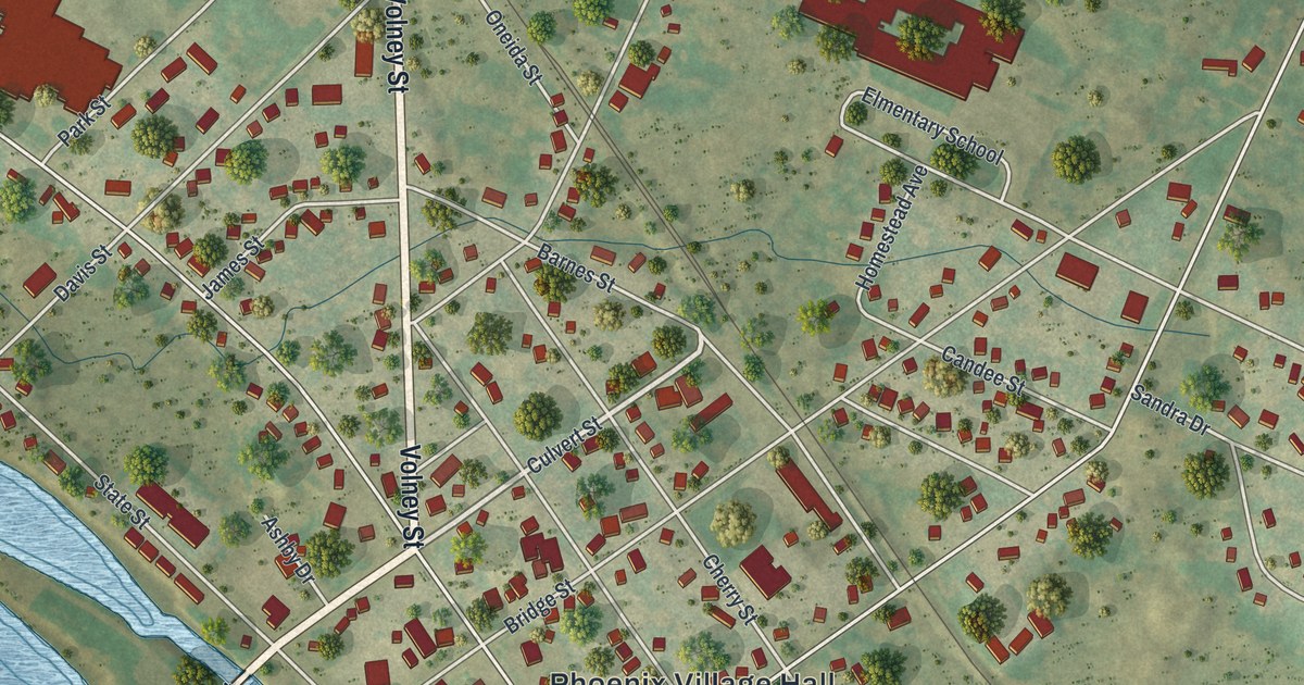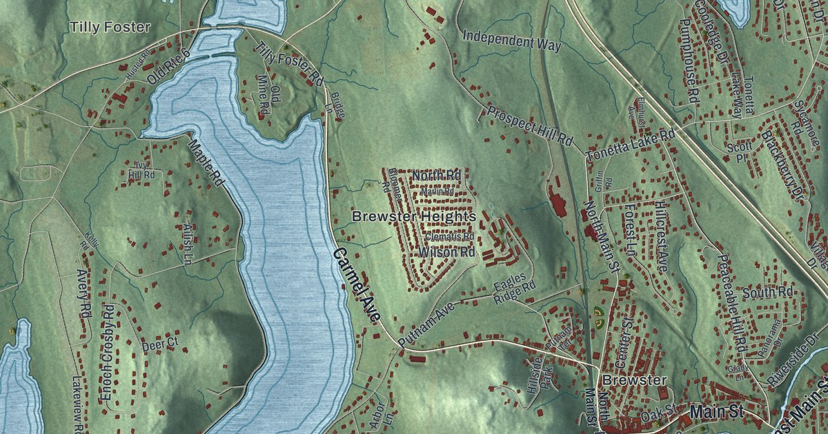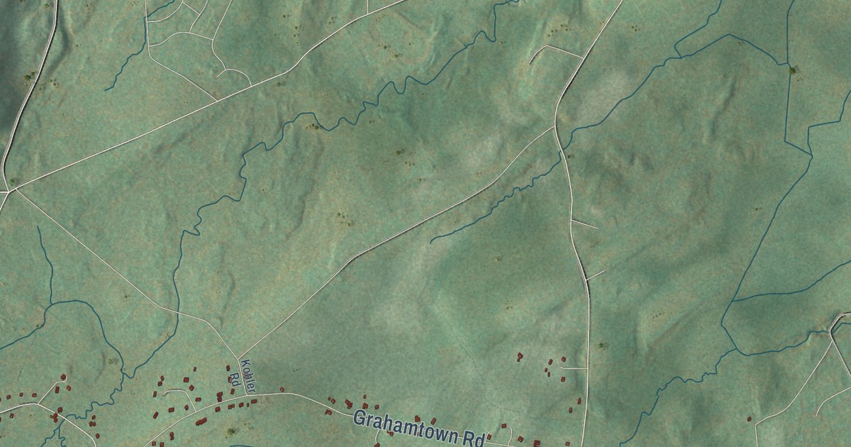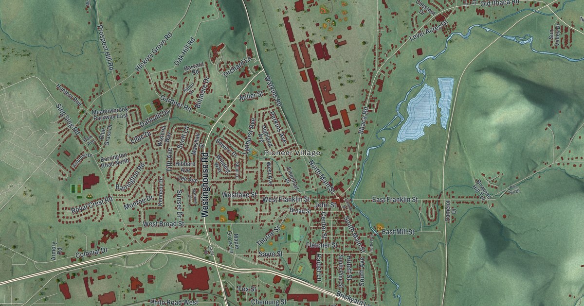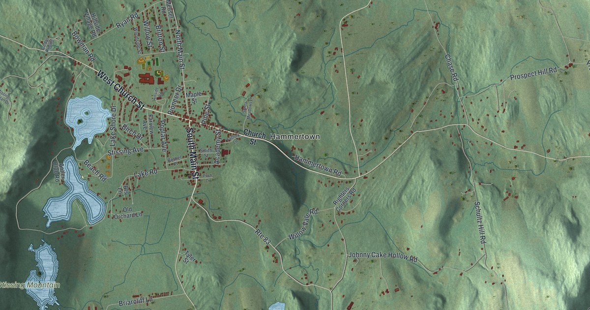
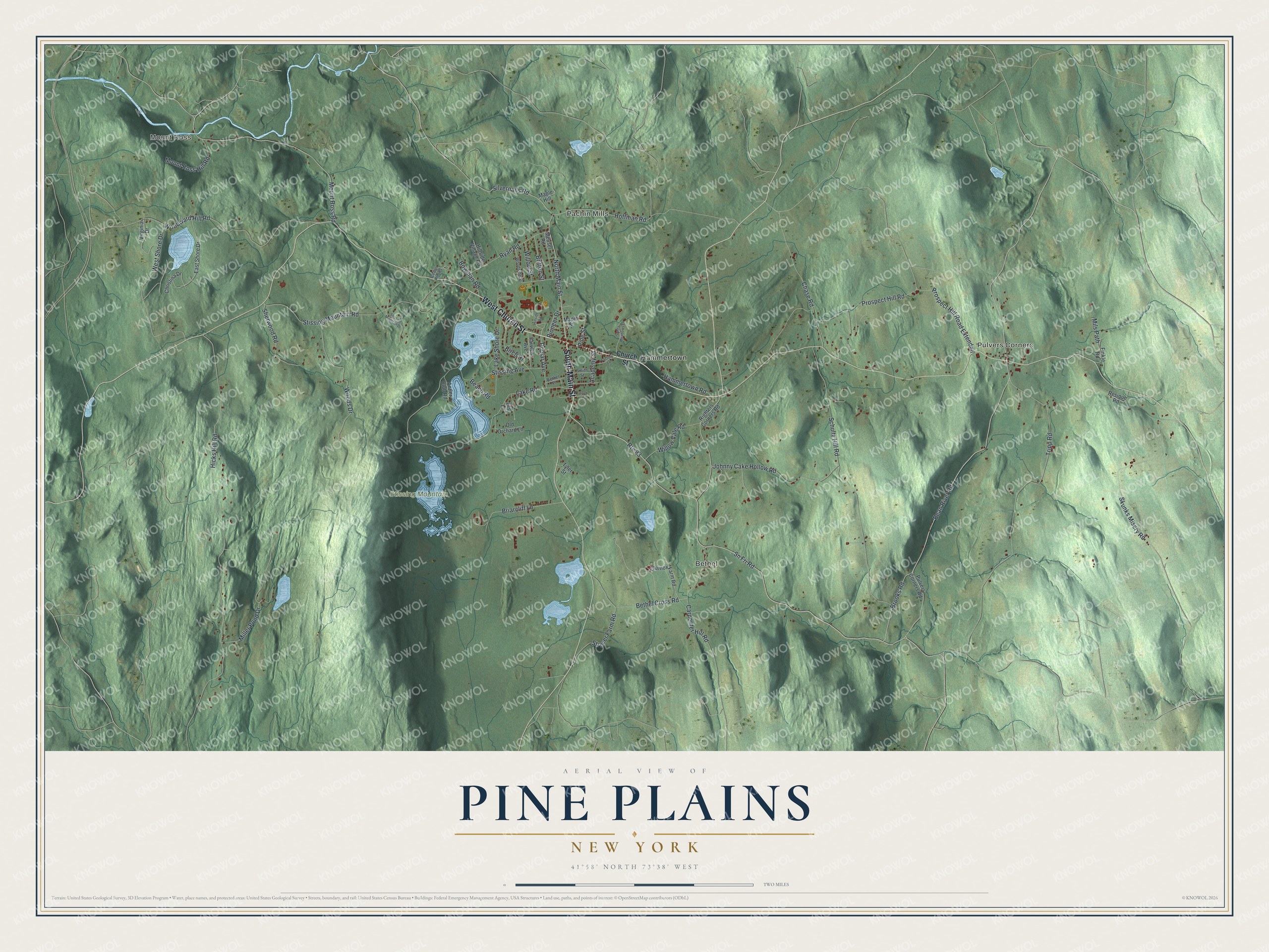
This beautifully detailed map of Pine Plains, New York was created in 2026 using aerial imagery combined with modern topographical, census, street and landmark data. It’s a one-of-a-kind view of Pine Plains that combines accurate data with a vintage aesthetic. The map shows every building in its true location, many of the roads carry their names, and the shaded topographic relief shows the shape of the land.
Explore an aerial view of Pine Plains, New York
On the map you’ll find Mount Ross, Pulvers Corners, Pachin Mills, Bethel, and Hammertown, along with Main Street, Church Street, Silvernails Road, Brooks Road, Bean River Road, and more. If you look closely you can even find your house accurately drawn in its correct location. Zoom in on the preview to look for yours.
Did You Know?
During the 1880s, P.T. Barnum kept his circus animals in Pine Plains over the winter. The quiet countryside kept curious crowds away. Several railroad lines nearby made it easy to ship the animals in and out.
Take a closer look at the Pine Plains map
Names on this map
These names are printed on this map.
Places: Mount Ross, Pulvers Corners, Pachin Mills, Bethel, Stissing Mountain and Hammertown.
Streets and roads: South Main Street, West Church Street, Route 83, North Main Street, Silvernails Road, Brooks Road, Bean River Road, Hoffman Road, Sn Fri Road, Pine Street, Mount Ross Road, Prospect Hill Road.
More street names, A to Z
Academy Street, Antler Club Road, Beach Road, Bethel Cross Road, Bethel Place, Bfs Lane, Birch Drive, Bowman Road, Briarcliff Lane, Britton Street, Carpenter Hill Road, Cedar Knolls, Chase Road, Christina Drive, Church Street, East Shore Drive, Equinox Farm Road, Factory Lane, Farview Avenue, Finkle Road, Hammertown Road, Hicks Hill Road, Hillside Road, Hillside Village Road, Johnny Cake Hollow Road, Lake Road, Lake Shore Drive, Maple Hill, Maple Street, Meusel Road, Miller Pond Drive, Mils Path, Mount Ross Hill Road, Old Orchard Lane, Pilch Drive, Pioneer Drive, Poplar Avenue, Prospect Hill Road Extended, Pulvers Corners Road, Resique Road, Righters Corners Road, Ryan Road, Schultz Hill Road, Sherwood Road, Skunks Misery Road, Smith Street, Stissing Avenue, Stissing Mountain Road, Stissing Mountan Drive, Strever Farm Road, Sunny Meadows Lane, Tripp Road, Tyler Street, Virginia Drive, West Shore Drive, Willow Street, Willow Vale Road, Woods Drive, Woodside Street, Woodward Hill Road.
See it on a wall
The Pine Plains map as a framed print. Swipe for more.


This beautifully detailed map of Pine Plains makes an attractive addition to your office, library, or den, and it can even be used to teach children the geography and history of the area. It also makes a great gift for anyone with Pine Plains roots. When you’re done exploring, click here to get your copy of the Pine Plains map.