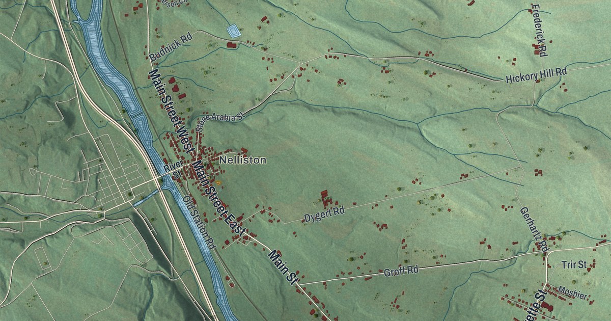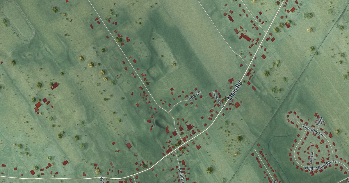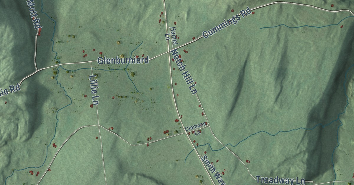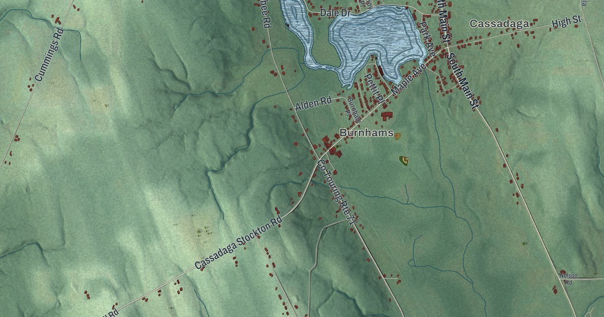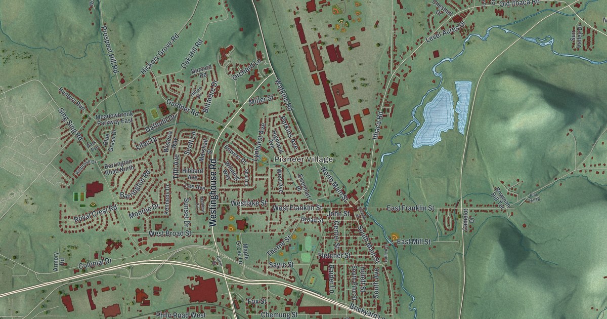
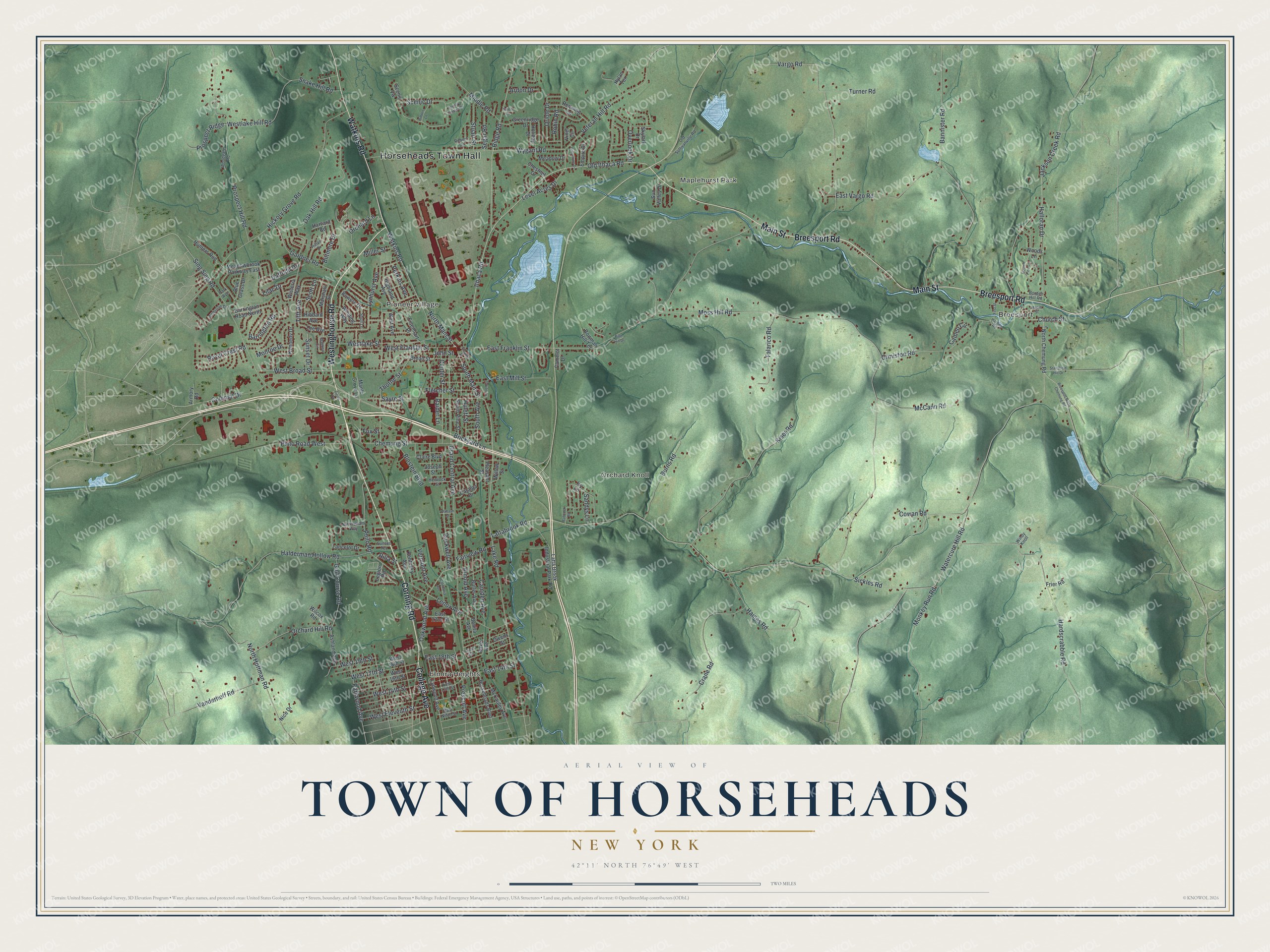
This beautifully detailed map of the Town of Horseheads, New York was created in 2026 using aerial imagery combined with modern topographical, census, street and landmark data. It’s a one-of-a-kind view of the Town of Horseheads that combines accurate data with a vintage aesthetic. The map shows every building in its true location, many of the roads carry their names, and the shaded topographic relief shows the shape of the land.
Explore an aerial view of the Town of Horseheads, New York
On the map you’ll find Horseheads Town Hall, Breesport, Elmira Heights, Pioneer Village, Maplehurst Park, and Orchard Knoll, along with Corning Road, Westinghouse Road, Breesport Road, Main Street, and more. If you look closely you can even find your house accurately drawn in its correct location. Zoom in on the preview to look for yours.
Take a closer look at the Town of Horseheads map
Names on this map
These names are printed on this map.
Places: Horseheads Town Hall, Breesport, Elmira Heights, Pioneer Village, Maplehurst Park and Orchard Knoll.
Streets and roads: Corning Road, Westinghouse Road, Breesport Road, Main Street, Watkins Road, College Avenue, Old Ithaca Road, West Franklin Street, North Main Street, South Main Street, Lake Road, Thorne Street.
More street names, A to Z
Ambrose Drive, Ardon Drive, Armory Road, Arnold Avenue, Ashland Avenue, Babcock Road, Baker Avenue, Bannister Road, Barrington Road, Barrington Road North, Benita Avenue, Biltmore Drive, Blostein Boulevard, Blue Grass Drive, Borden Hill Road, Bowers Drive, Bowman Hill Terrace, Breesport North Chemung Road, Brickyard Lane, Broad Street, Burns Road, Butler Avenue, California Avenue, Camden Avenue, Camelot Drive, Cameo Circle, Catalpa Drive, Center Street, Chemung Street, Chestnut Drive, Church Street, Circle Drive, Claire Boulevard, Colonial Drive, Country Estates Drive, Cowan Road, Crane Road, Daffodil Drive, East 13th Street, East 14th Street, East 18th Street, East 22nd Street, East Franklin Street, East Mill Street, East Ninth Street, East Vargo Road, Eisenhart Place, Eleanor Street, Empire Drive, Fairview Road, First Street, Fletcher Street, Fox Street, Frier Road, Gardner Road, Golf Course Road, Grand Central Avenue, Greenridge Drive, Greystone Drive, Haines Road, Halderman Hollow Road, Halloran Drive, Harding Road, Hardscrabble Road, Harvard Road, Hemlock Street, Hibbard Avenue, Hickory Grove Road, Hidden Lane, Highland Avenue, Hilton Drive, Holiday Drive, Horseheads Boulevard, Hulett Street, Hunters Run, Hylan Terrace, Ithaca Road, Ivy Lane, Jackson Creek Road, John Street, Joseph Street, Kalem Circle, Kennedy Drive, Kentucky Avenue, Kiser Road, Lancelot Drive, Latta Brook Industrial Park Road, Lattabrook Road, Lee Avenue, Legion Road, Lenox Avenue, Level Acres Drive, Lilac Drive, Lynhurst Avenue, Lynwood Avenue, Maple Grove Lane, Maple Street, Marshall Street, Matthew Circle, McCann Road, McCauley Avenue, Meadowbrook Parkway East, Meadow Drive, Middle Road, Miller Street, Monkey Run Road, Monroe Drive, Moss Hill Road, Nice Drive, North Chemung Road, North Hoffman Road, Nottingham Way, Oak Hill Road, Oakwood Avenue, Old Sullivanville Road, Orchard Hill Road, Orchard Lane, Oriole Drive, Ormiston Road, Overlook Drive, Owens Avenue, Owens Street, Park Avenue, Parkwood Avenue, Perkins Avenue, Philo Road, Philo Road West, Pine Hill Drive, Pleasant Street, Prescott Avenue, Prospect Hill Road, Prospect Ridge, Raider Lane, Redwing Lane, Ridge Road, Rilla Street, Robert Drive, Robin Road, Rockwell Avenue, Royal Crest Road, Sandys Lane, Sayre Street, Scenic Drive, Scenic Vw, Scotch Pine Lane, Scott Lane, Segar Road, Shull Lane, Sickles Road, Sing Sing Road, Skylark Drive, Snake Hill Road, South Avenue, South Pine Street, Stansfield Hill Drive, Stuart Street, Sunset Drive, Sunset Terrace, Sun Valley Drive, Talarico Road, Tifft Avenue, Turner Road, Tuttle Avenue, Vanderhoff Road, Vargo Road, Vermont Avenue, Veteran Hill Road, Vinel Circle, Wabash Street, Watercure Hill Road, West 14th Street, West 16th Street, West 17th Street, West 18th Street, West 19th Street, West Avenue, West Broad Street, West Eleventh Street, Westlake Hill Road, Westlake Street, Wilcox Road, Willow Street, Winding Way, Windy Knoll, Wisteria Way, Woodgate Road, Woods Lane, Wygant Road.
See it on a wall
The Horseheads map as a framed print. Swipe for more.


This beautifully detailed map of the Town of Horseheads makes an attractive addition to your office, library, or den, and it can even be used to teach children the geography and history of the area. It also makes a great gift for someone who left the Town of Horseheads and still calls it home. When you’re done exploring, click here to get your copy of the Town of Horseheads map.