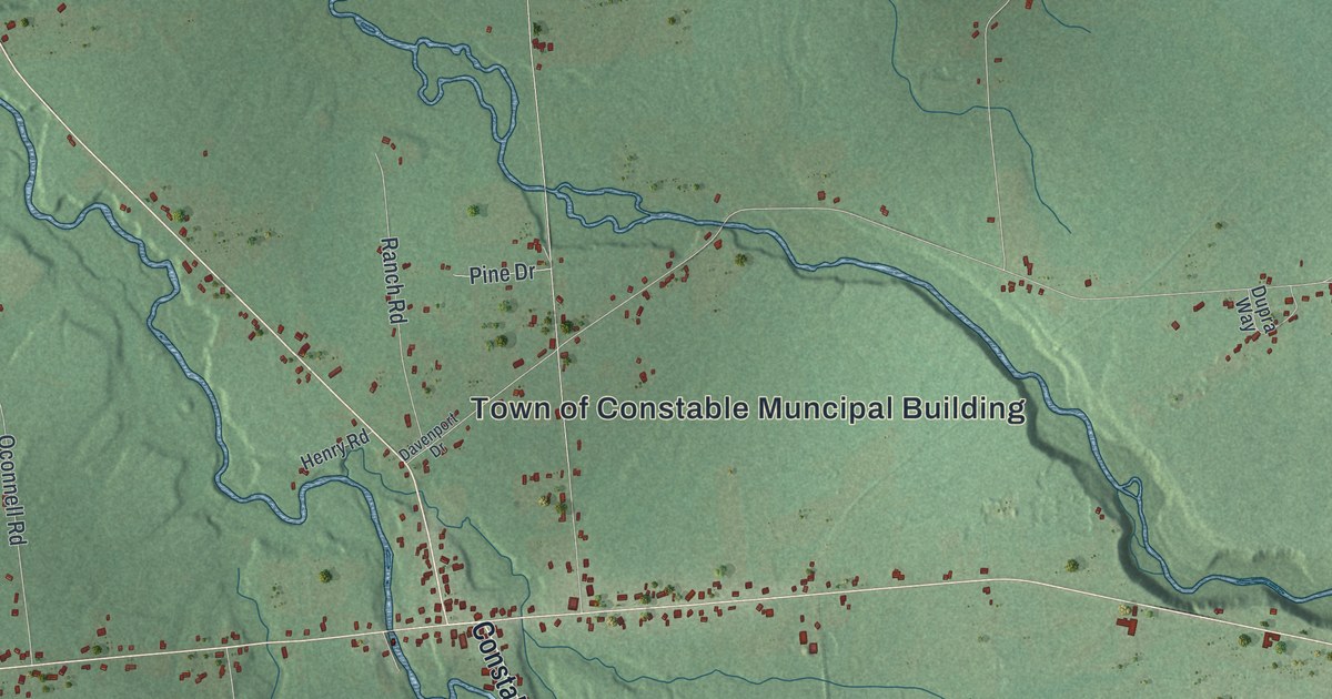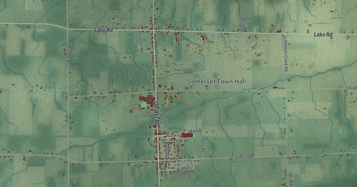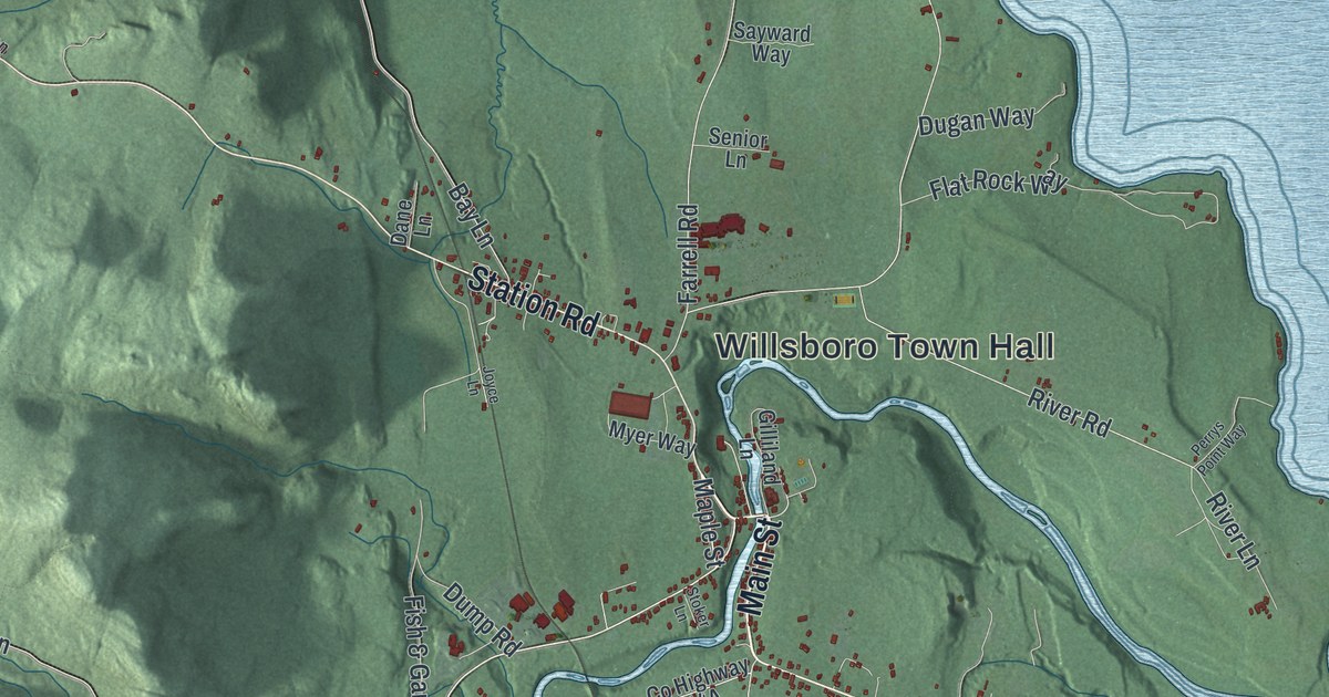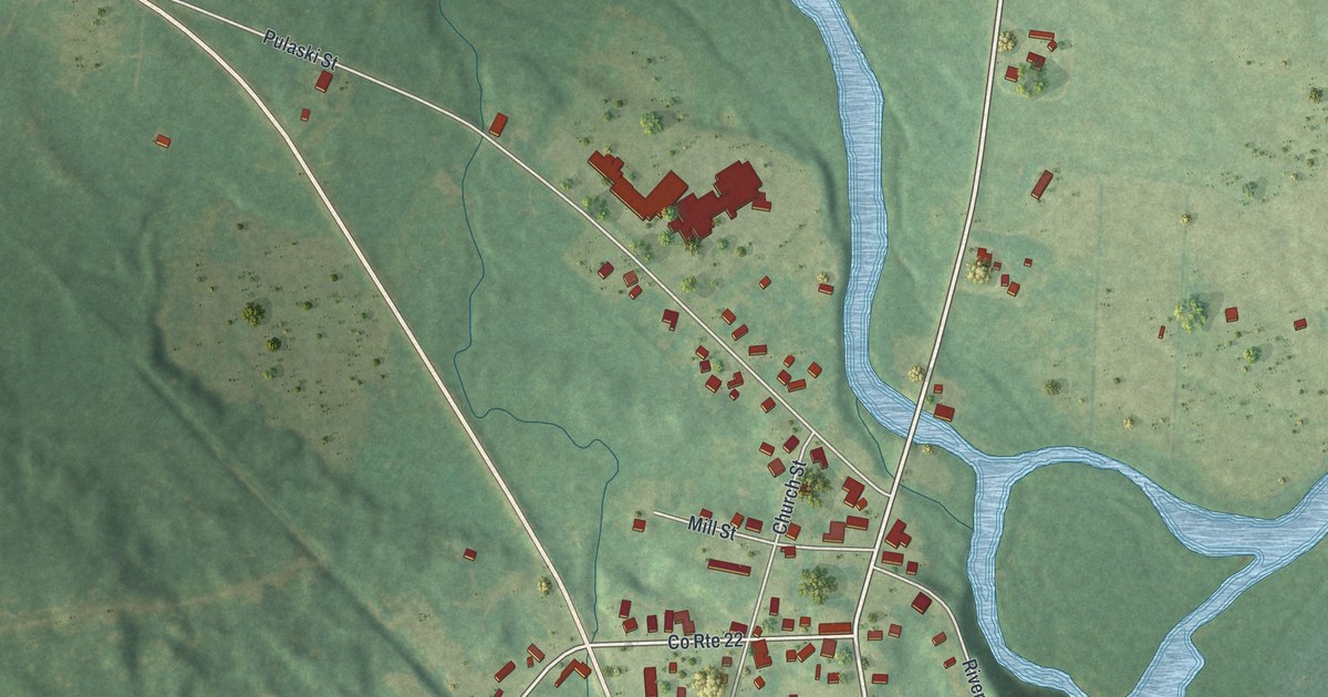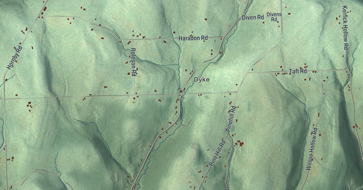
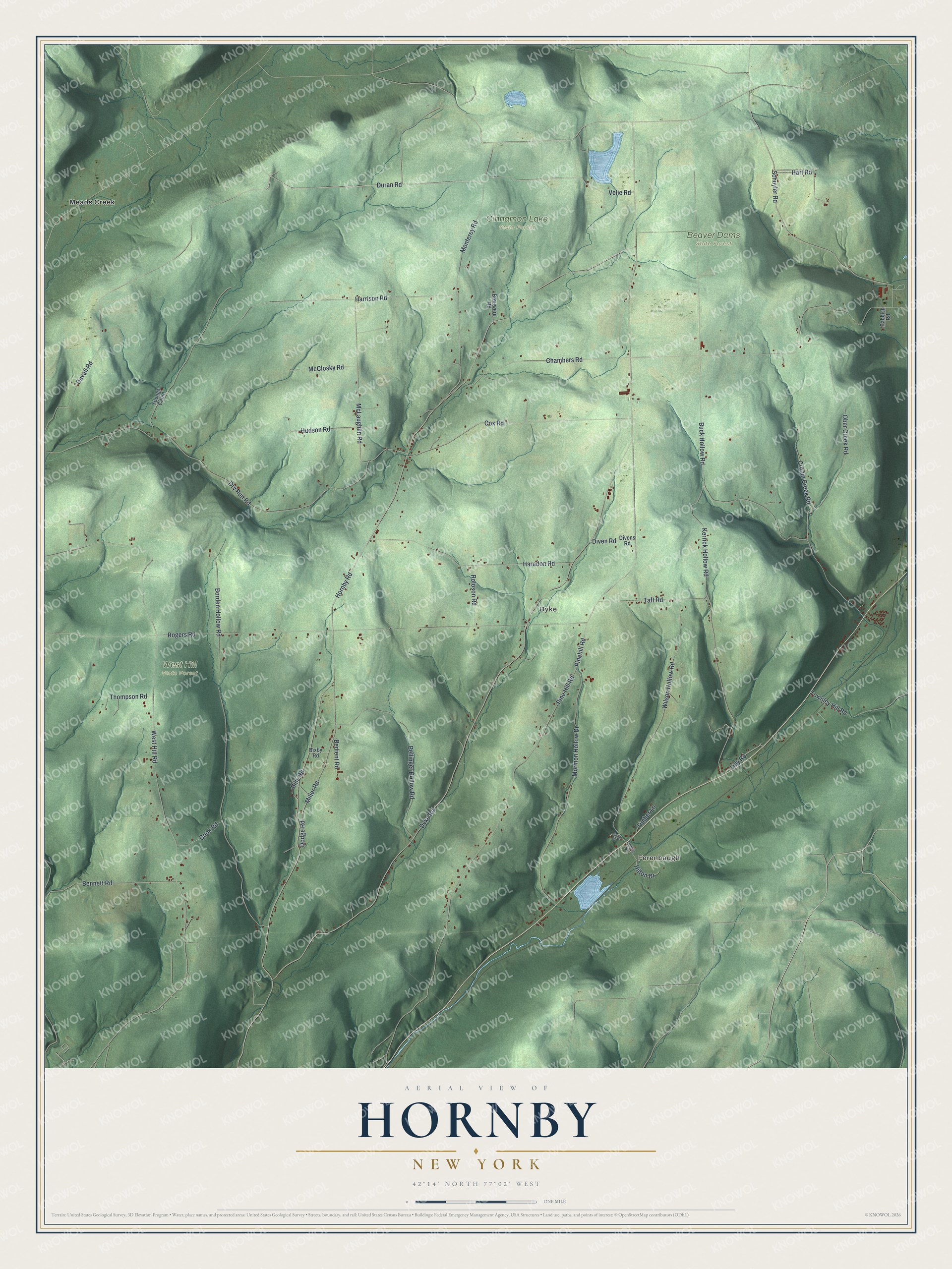
This beautifully detailed map of Hornby, New York was created in 2026 using aerial imagery combined with modern topographical, census, street and landmark data. It’s a one-of-a-kind view of Hornby that combines accurate data with a vintage aesthetic. The map shows every building in its true location, many of the roads carry their names, and the shaded topographic relief shows the shape of the land.
Explore an aerial view of Hornby, New York
On the map you’ll find Ferenbaugh, Dyke, Meads Creek, Beaver Dams State Forest, Cinnamon Lake State Forest, and West Hill State Forest, along with Duran Road, Lilly Road, Schuyler Road, Bennett Road, Hornby Road, and more. If you look closely you can even find your house accurately drawn in its correct location. Zoom in on the preview to look for yours.
Did You Know?
Hornby took its name from John Hornby, who owned land in the Pulteney Tract. Asa and Uriah Nash were the first settlers, arriving in 1814. It was carved out of Corning in 1826, when Corning was still called Painted Post.
Take a closer look at the Hornby map
Names on this map
These names are printed on this map.
Places: Ferenbaugh, Dyke, Beaver Dams State Forest, Cinnamon Lake State Forest, West Hill State Forest and Meads Creek.
Streets and roads: Duran Road, Lilly Road, Schuyler Road, Bennett Road, Hornby Road, Dyke Road, Pine Hill Road, Buck Hollow Road, Rogers Road, Chambers Road, West Hill Road, Dry Run Road.
More street names, A to Z
Babbish Road, Bedient Road, Bellinger Hollow Road, Bills Road, Bixby Road, Borden Hollow Road, Brouwere Road, Cook Road, Cox Road, Cronin Creek Road, Diven Road, Divens Road, Dobby Drive, Dodge Road, Duvall Road, Eaton Drive, Haradon Road, Harrison Road, Hart Road, Hilton Drive, Hudson Road, Kerrick Hollow Road, McClosky Road, McLaughlin Road, Miller Road, Monterey Road, Mormon Hollow Drive, Ober Creek Road, Pinehill Road, Roloson Road, Taft Road, Thompson Road, Timber Lane, Townley Hill Road, Velie Road, Wilson Hollow Road, Youngs Cabin.
See it on a wall
The Hornby map as a framed print. Swipe for more.


This beautifully detailed map of Hornby makes an attractive addition to your office, library, or den, and it can even be used to teach children the geography and history of the area. It also makes a great gift for anyone with Hornby roots. When you’re done exploring, click here to get your copy of the Hornby map.