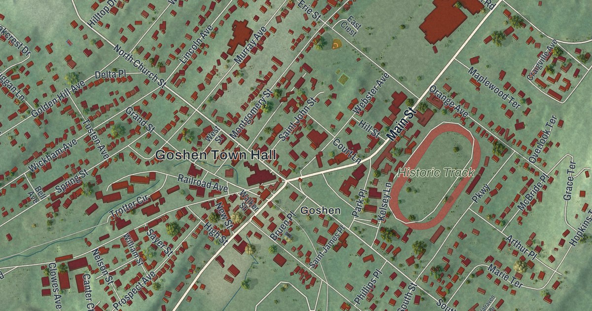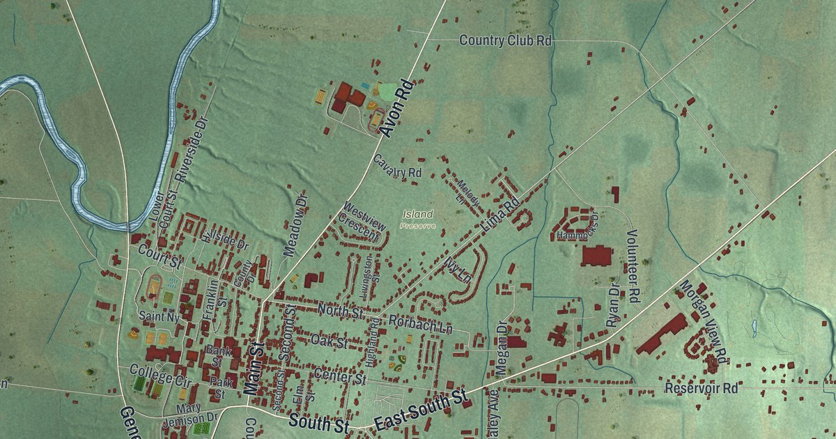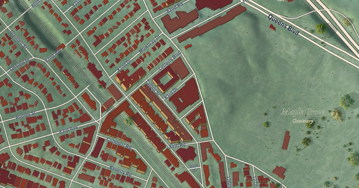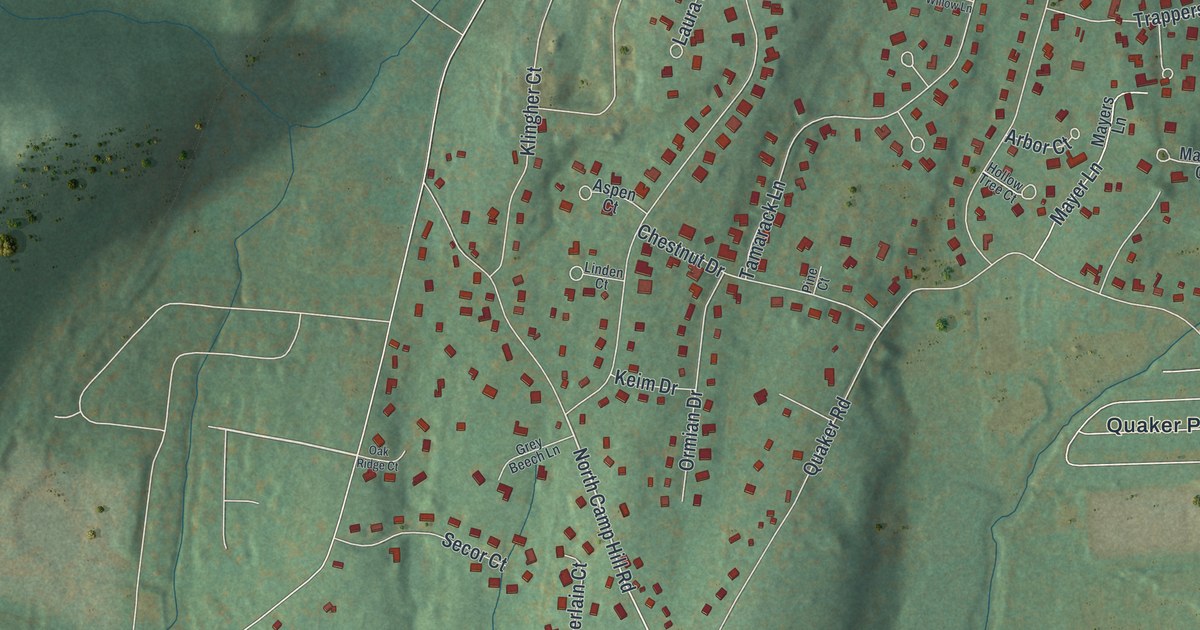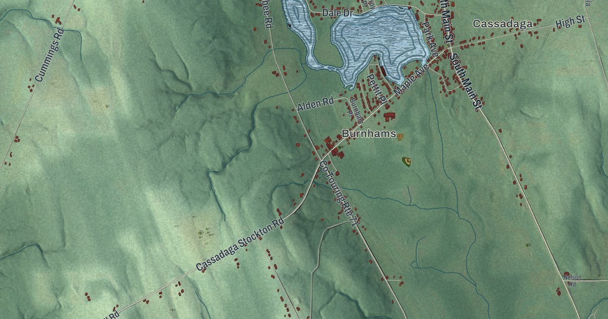
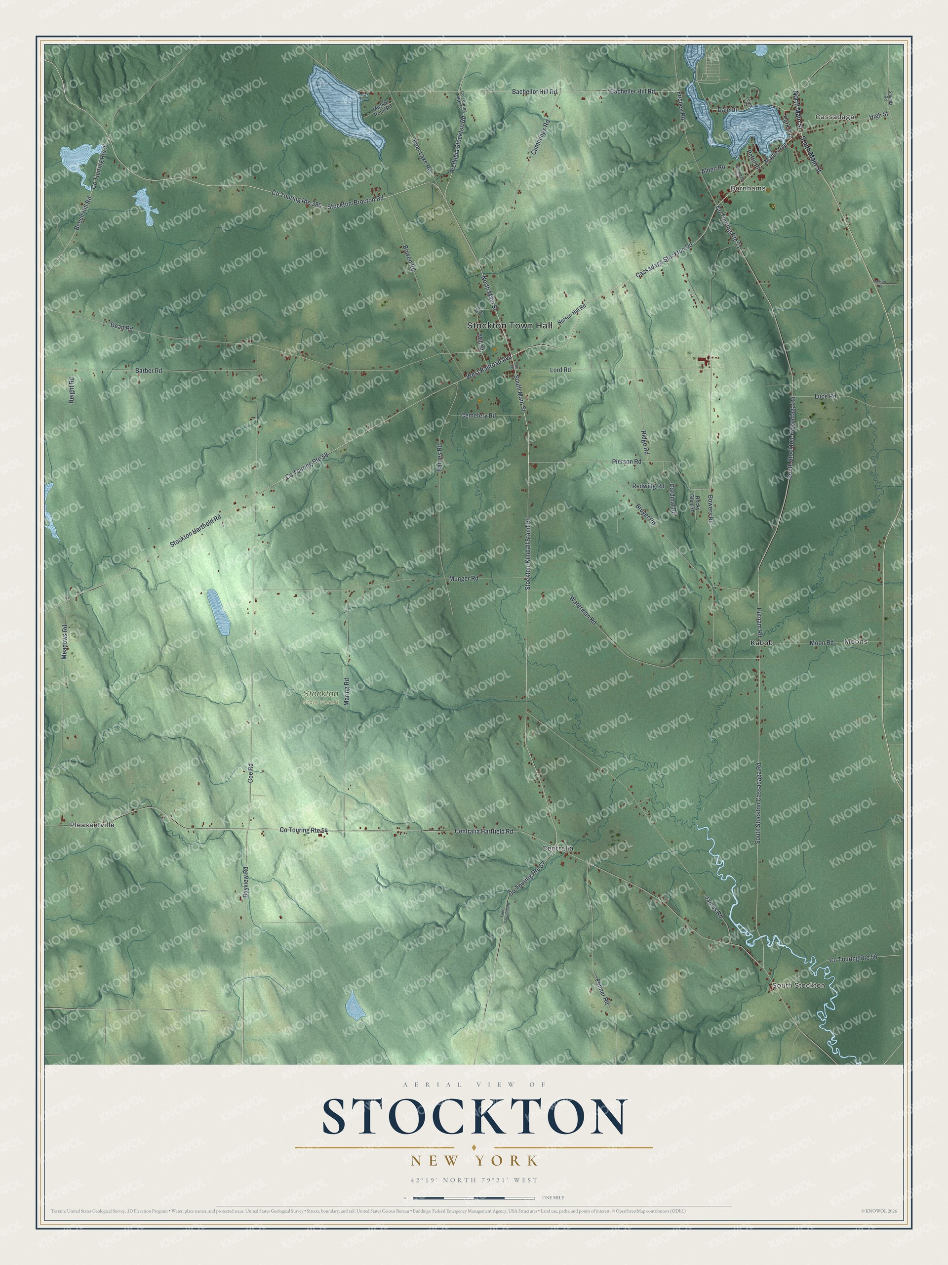
This beautifully detailed map of Stockton, New York was created in 2026 using aerial imagery combined with modern topographical, census, street and landmark data. It’s a one-of-a-kind view of Stockton that combines accurate data with a vintage aesthetic. The map shows every building in its true location, many of the roads carry their names, and the shaded topographic relief shows the shape of the land.
Explore an aerial view of Stockton, New York
On the map you’ll find Stockton Town Hall, Cassadaga, South Stockton, Burnhams, Moons, and Centralia, along with Cassadaga Stockton Road, Maple Avenue, Railroad Avenue, Main Street, and more. If you look closely you can even find your house accurately drawn in its correct location. Zoom in on the preview to look for yours.
Did You Know?
The town is named for Richard Stockton, a signer of the Declaration of Independence. Settlers first arrived around 1810, and Stockton was carved out of Chautauqua in 1821. Early farmers here suffered more from wolves than their neighbors in nearby towns.
Take a closer look at the Stockton map
Names on this map
These names are printed on this map.
Places: Stockton Town Hall, Cassadaga, South Stockton, Burnhams, Moons, Stockton State Forest, Centralia, Kabob and Pleasantville.
Streets and roads: Cassadaga Stockton Road, Maple Avenue, West Railroad Avenue, South Main Street, Stockton-Kimball Stand Road, North Main Street, Co Touring Route 380, Stockton-Brocton Road, Putnam Road, South Stockton-Cassadaga Road, Bayview Road, Bachellor Hill Road.
More street names, A to Z
Alden Road, Bacheller Hill Road, Barber Road, Barnes Road, Bear Lake Road, Beech Hill Road, Bowen Road, Bowers Road, Bruyer Road, Burnham Place, Cardinal Road, Cemetery Road, Centralia Hartfield Road, Coe Road, Co Touring Route 37, Co Touring Route 54, Co Touring Route 56, Co Touring Route 57, Co Touring Route 58, Co Touring Route 71, Co Touring Route 73, Cummings Road, Dale Drive, Dean Road, Ellery Centralia Road, Fenner Road, Fredonia Stockton Road, Frisbee Road, Height Road, High Street, James Road, Leroy Place, Lord Road, Luce Road, Maring Road, Meadows Road, Mill Road, Mill Street, Moon Road, Munger Road, Muskie Point Road, Nelson Hill Road, Nelson Road, Park Avenue, Pettit Place, Pierson Road, Redwing Road, Ridge Road, Rocky Glen Road, Route 380, Shumla Road, South Stockton Cassadaga Road, Stockton Hartfield Road, Waterman Road.
See it on a wall
The Stockton map as a framed print. Swipe for more.


This beautifully detailed map of Stockton makes an attractive addition to your office, library, or den, and it can even be used to teach children the geography and history of the area. It also makes a great gift for someone who left Stockton and still calls it home. When you’re done exploring, click here to get your copy of the Stockton map.