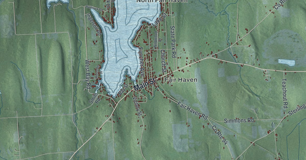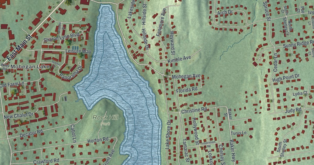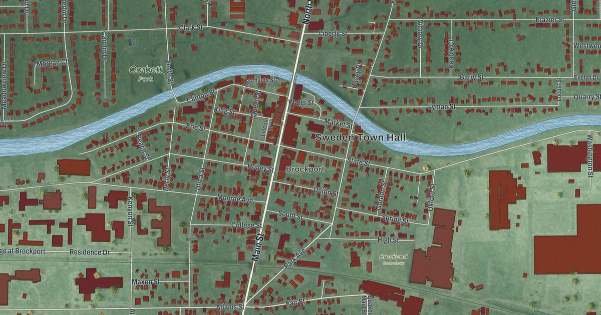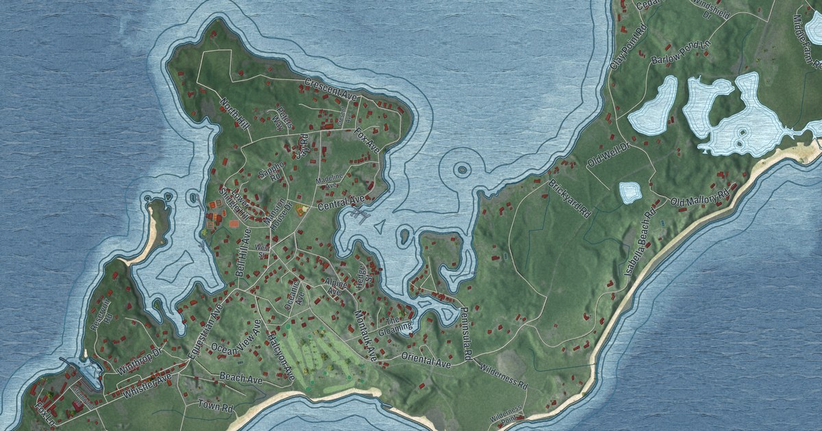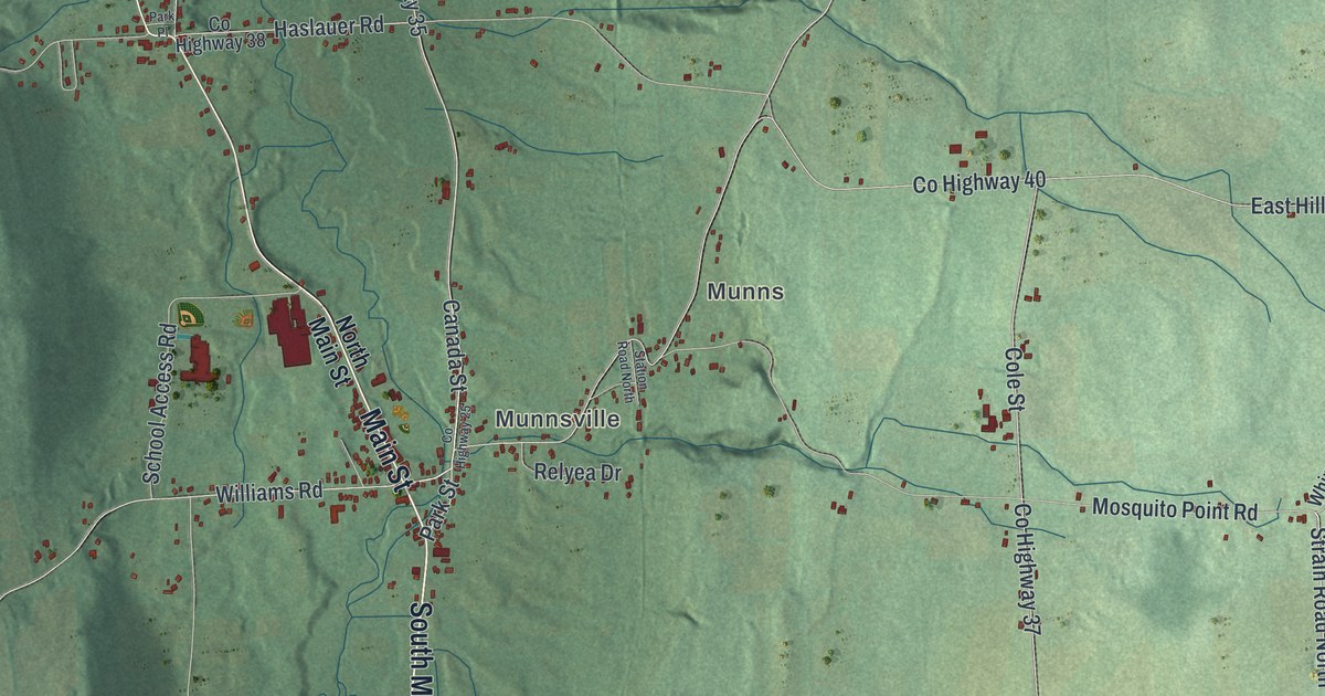
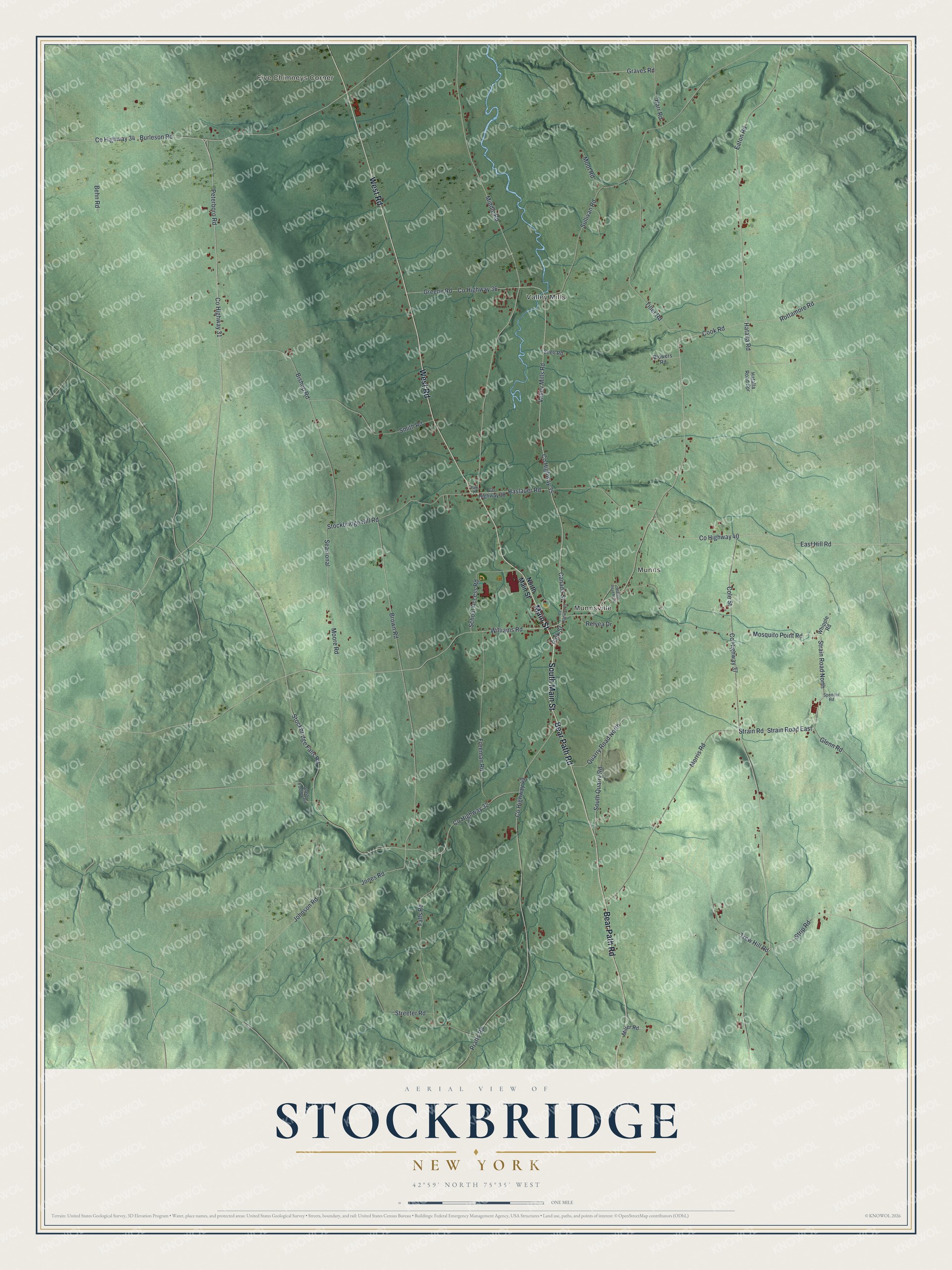
This beautifully detailed map of Stockbridge, New York was created in 2026 using aerial imagery combined with modern topographical, census, street and landmark data. It’s a one-of-a-kind view of Stockbridge that combines accurate data with a vintage aesthetic. The map shows every building in its true location, many of the roads carry their names, and the shaded topographic relief shows the shape of the land.
Explore an aerial view of Stockbridge, New York
On the map you’ll find Five Chimneys Corner, Valley Mills, Munns, and Munnsville, along with Main Street, West Road, Bear Path Road, Cook Road, Strain Road, and more. If you look closely you can even find your house accurately drawn in its correct location. Zoom in on the preview to look for yours.
Did You Know?
The town is named for the Stockbridge people, who once lived here. They were refugees from several tribes who had settled at Stockbridge, Massachusetts. The Oneida invited them to share a reservation in New York. After disputes with settlers, many later moved to Indiana and then Wisconsin. New England pioneers settled the town in 1791.
Take a closer look at the Stockbridge map
Names on this map
These names are printed on this map.
Places: Five Chimneys Corner, Valley Mills, Munns and Munnsville.
Streets and roads: South Main Street, Main Street, West Road, Bear Path Road, Cook Road, Strain Road North, Glenn Road, Canada Street, County Highway 31, County Highway 35, Hatalla Road, Peterboro Road.
More street names, A to Z
Barr Road, Behn Road, Bishop Road, Blowers Road, Brown Road, Burleson Road, Cole Street, County Highway 25, County Highway 32, County Highway 34, County Highway 36, County Highway 37, County Highway 38, County Highway 40, County Highway 49, East Hill Road, Eaton Road, Falls Road, Freeman Road, Glass Factory Road, Graves Road, Greene Road, Haslauer Road, Hatalla Road Spr, Johnson Road, Jones Road, Middle Road, Miller Road, Moore Road, Moot Road, Morris Road, Mosquito Point Road, North Main Street, Park Place, Park Street, Pratts Road, Quarry Road North, Relyea Drive, Rottamore Road, School Access Road, Seasional, Smith Road, Snell Road, South Quarry Road, Spencer Road, Station Road North, Stockbridge Falls Road, Stockbridge Hill Road, Strain Road, Strain Road East, Streeter Road, Strip Road, Sullivan Road, Tiller Road, Trew Hill Road, Valley Mills Road, Whipple Road, Williams Road.
See it on a wall
The Stockbridge map as a framed print. Swipe for more.


This beautifully detailed map of Stockbridge makes an attractive addition to your office, library, or den, and it can even be used to teach children the geography and history of the area. It also makes a great gift for anyone who grew up in Stockbridge or moved away. When you’re done exploring, click here to get your copy of the Stockbridge map.