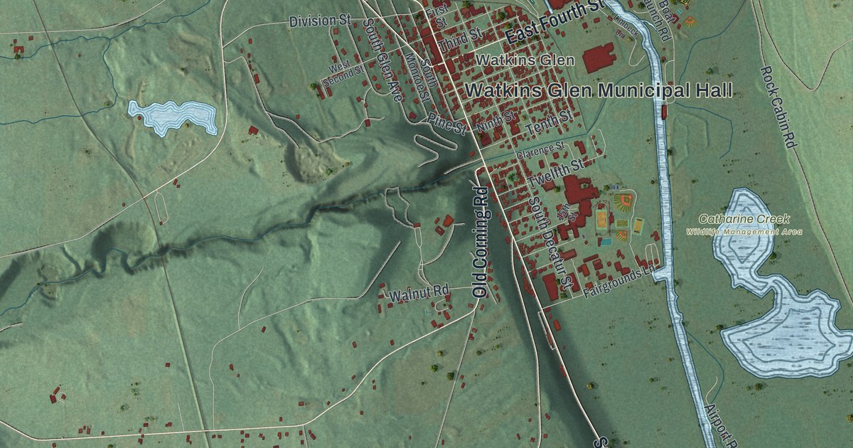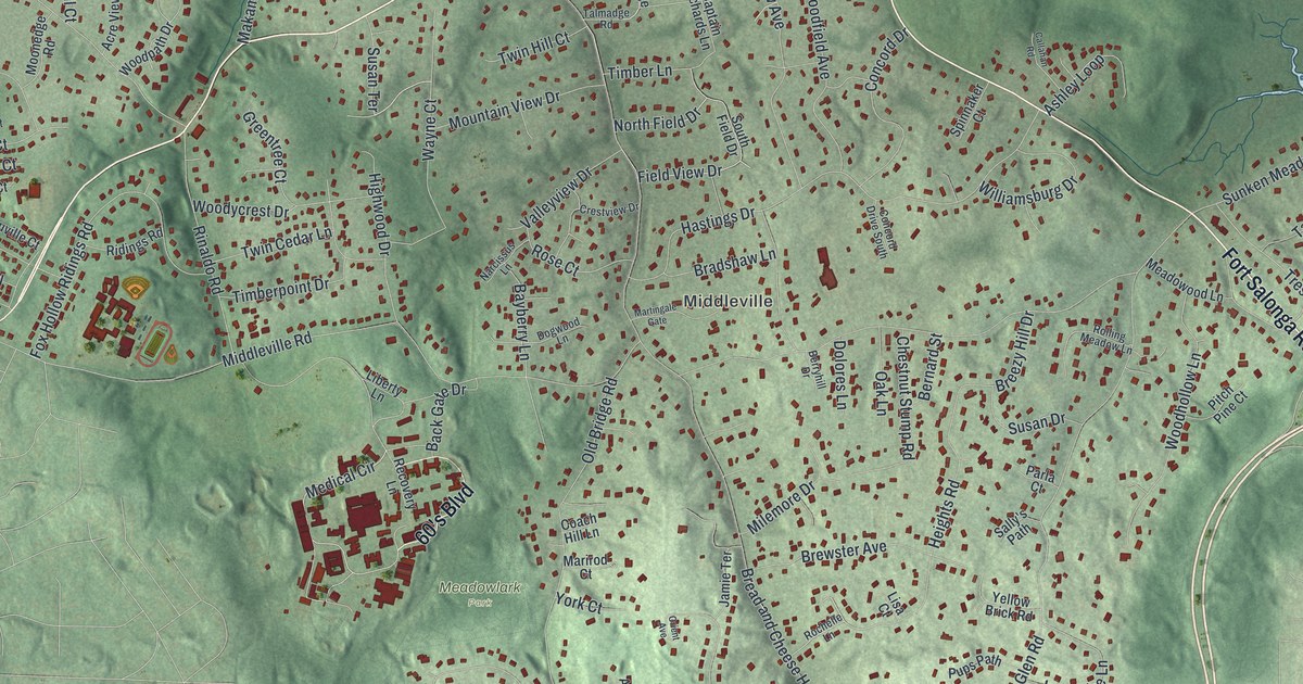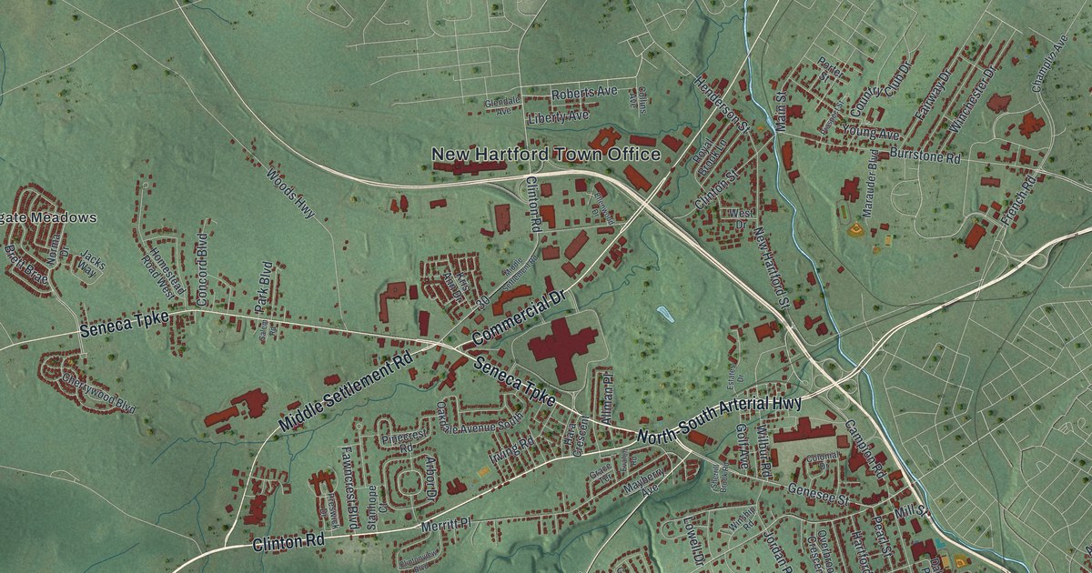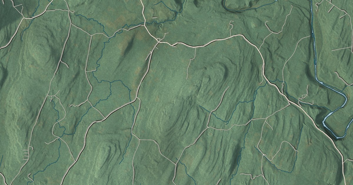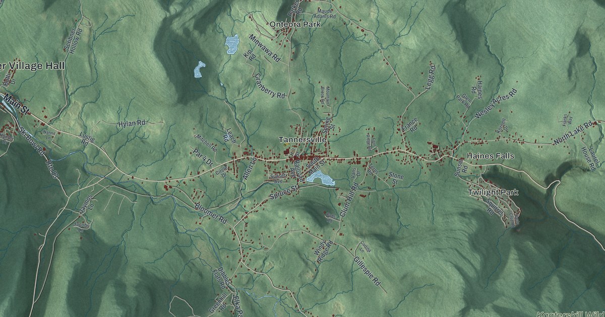
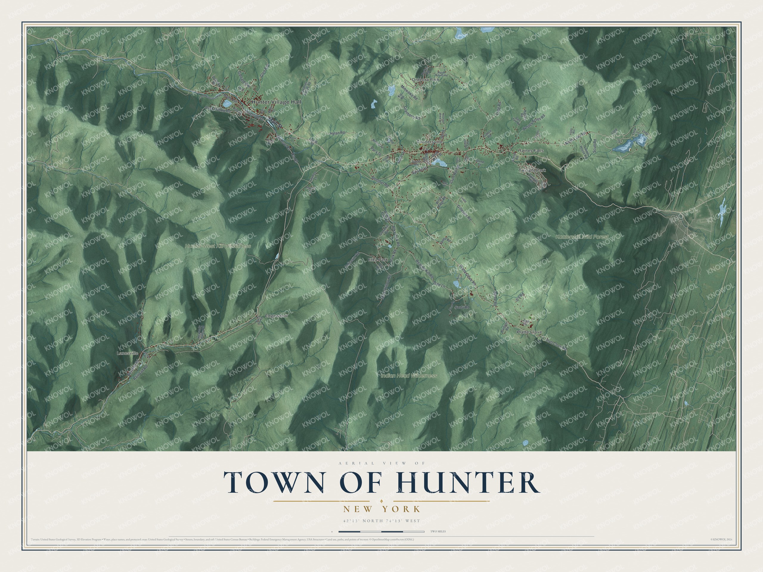
This beautifully detailed map of the Town of Hunter, New York was created in 2026 using aerial imagery combined with modern topographical, census, street and landmark data. It’s a one-of-a-kind view of the Town of Hunter that combines accurate data with a vintage aesthetic. The map shows every building in its true location, many of the roads carry their names, and the shaded topographic relief shows the shape of the land.
Explore an aerial view of the Town of Hunter, New York
On the map you’ll find Hunter Village Hall, Lanesville, Edgewood, Elka Park, Haines Falls, Onteora Park, and Kaaterskill Wild Forest, along with Main Street, Platte Clove Road, Platt Clove Road, Dale Lane, and more. If you look closely you can even find your house accurately drawn in its correct location. Zoom in on the preview to look for yours.
Did You Know?
Hunter was split from Windham on January 27, 1813, under the name Edwardsville. A year later it took the name Hunter, after John Hunter. By the late 1800s the Ulster and Delaware Railroad was bringing tourists, and the town became a popular Catskills resort.
Take a closer look at the Town of Hunter map
Names on this map
These names are printed on this map.
Places: Hunter Village Hall, Lanesville, Hunter-West Kill Wilderness, Indian Head Wilderness, Kaaterskill Wild Forest, Edgewood, Elka Park, Haines Falls, Onteora Park, Platte Clove, Tannersville and Twilight Park.
Streets and roads: Main Street, Platte Clove Road, Platt Clove Road, Dale Lane, Roaring Kill Road, Spruce Street, Mink Hollow Road, North Lake Road, Clum Hill Road, Ski Bowl Road, Elka Park Road, Glen Avenue.
More street names, A to Z
Allen Lane, Beecher Road, Bloomer Road, Bobs Road, Botti Drive, Brook Street, Bunny Lane, Byrne Road, Camp Meadowbrook Road, Cheff Lane, Circle Drive, Coliseum Road, Corfu Road, Cortina Lane, Cranberry Road, Dibbles Flats Road, Dolans Lane, Dolinsky Road, Farrell Road, Fern Ridge Road, France Road, Franks Way, Garfield Avenue, Gillespie Road, Glen Park Road, Greenhill Road, Haines Road, Heavenly Valley Road, Hill Road, Hill Street, Hunter Drive, Hylan Road, Jacobs Lane, Janssen Road, Jaymos Lane, Jj's Road, Josh Road, Kip Road, Kornell Drive, Laurel House Road, Leach Road, Legg Road, Loop 1, Loop 3, Loop 5, Loop 7, Lustig Road, Maple Avenue, Maude Adams Road, Minwawa Road, Mitchell Road, Mountain Brook Road, Nannil Lane, Notch Inn Road, Par 4 Drive, Parker Road, Park Road, Pine Lane, Prediger Road, Railroad Avenue, Railroad Road, Riverside Drive, Route 83, Rusk Hollow Road, Santa Cruz Road, Scribner Hollow Road, Scutt Road, South Main Street, Spring Street, Squirrel Road, Stone Street, Sunset Avenue, Sunset Road, Terns Road, Vans Drive, Wase Road, Wesley Acres Road, Windy Ridge Road.
See it on a wall
The Hunter map as a framed print. Swipe for more.


This beautifully detailed map of the Town of Hunter makes an attractive addition to your office, library, or den, and it can even be used to teach children the geography and history of the area. It also makes a great gift for someone who left the Town of Hunter and still calls it home. When you’re done exploring, click here to get your copy of the Town of Hunter map.