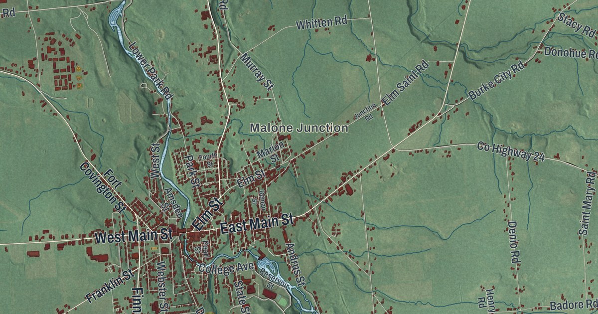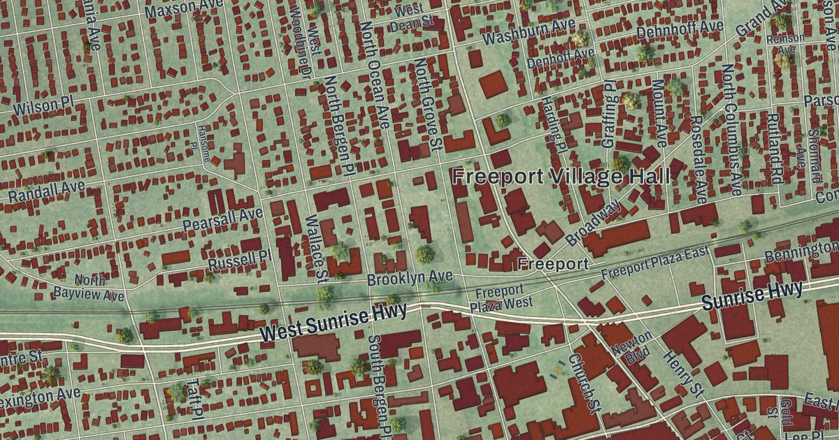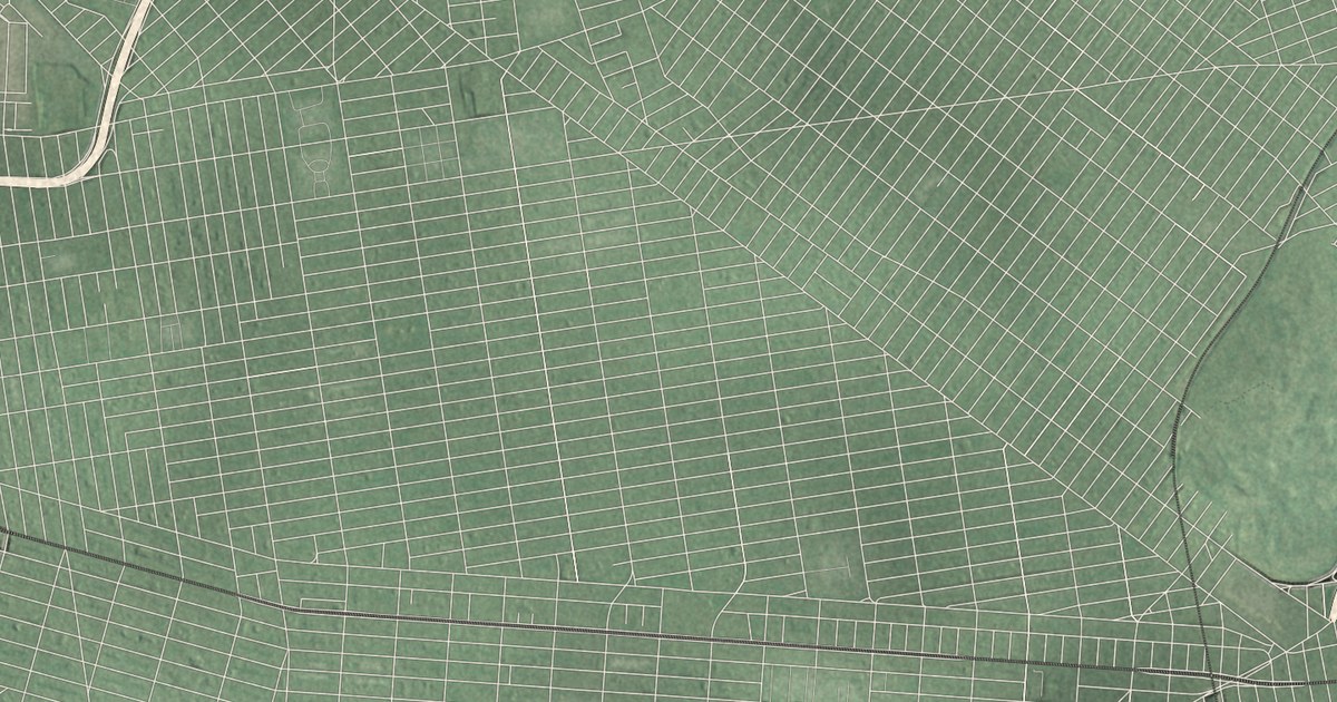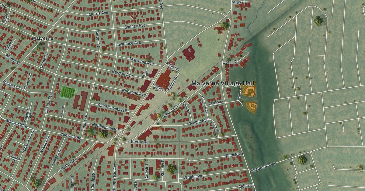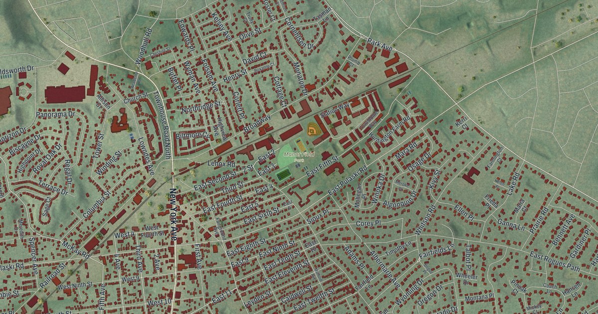
This beautifully detailed map of Huntington Station, New York was created in 2026 using aerial imagery combined with modern topographical, census, street and landmark data. It’s a one-of-a-kind view of Huntington Station that combines accurate data with a vintage aesthetic. The map shows every building in its true location, many of the roads carry their names, and the shaded topographic relief shows the shape of the land.
Explore an aerial view of Huntington Station, New York
On the map you’ll find Manor Field Park, along with New York Avenue, Jericho Turnpike, Walt Whitman Road, Oakwood Road, McKay Road, and more. If you look closely you can even find your house accurately drawn in its correct location. Zoom in on the preview to look for yours.
Take a closer look at the Huntington Station map
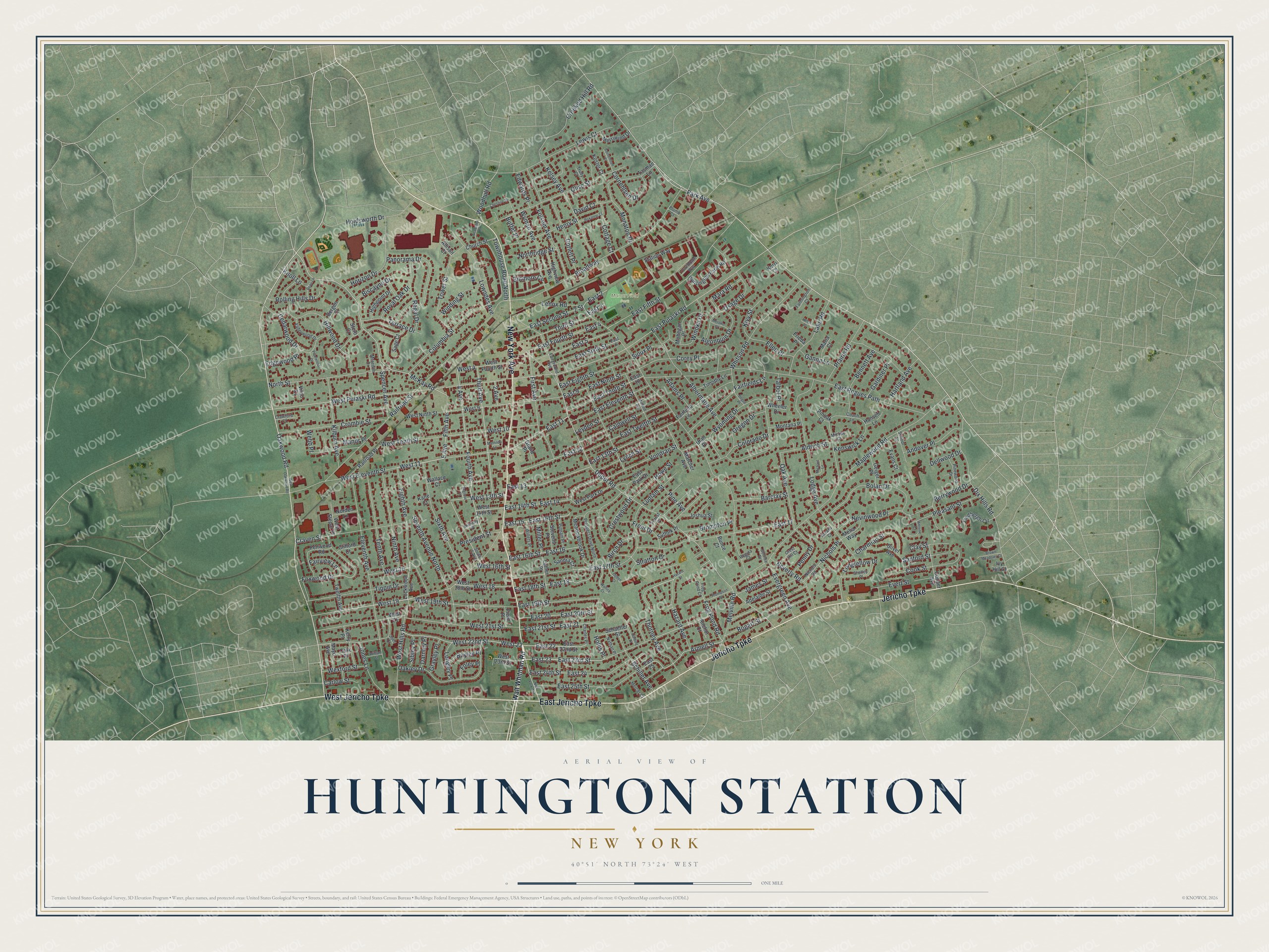
Names on this map
These names are printed on this map.
Places: Manor Field Park.
Streets and roads: New York Avenue, Jericho Turnpike, East Jericho Turnpike, West Jericho Turnpike, Oakwood Road, McKay Road, Fifth Avenue, Third Avenue, East 20, East 23, West 19, West 13th Street.
More street names, A to Z
2 Avenue, 2 Street, 4 Avenue, 5 Avenue, Academy Place, Adams Place, Adelaide Street, Albermarle Avenue, Aldrich Street, Algonquin Drive, Allison Court, Anchor Court, Andover Place, Antoine Court, Armell Street, Arvans Court, Barclay Street, Bayley Place, Beau Lane, Bennett Avenue, Bergen Court, Berrywood Drive, Bertlee Drive, Beverly Road, Biltmore Circle, Birch Drive, Biscayne Drive, Bogart Street, Bogue Place, Bolan Drive, Broadway, Brompton Place, Brown Meadows Court, Buffet Place, Bunce Court, Caldwell Street, Carlow Street, Cedarwood Drive, Charles Place, Charmian Street, Cheshire Street, Church Street, Clay Street, Clifford Court, Coach Lane, Colorado Drive, Columbia Street, Cook Street, Cooper Avenue, Corey Place, Cork Place, Corlett Place, Cornehlsen Court, Cornehlsen Drive, Cottage Court, Craven Street, Crawford Court, Crest Hill Court, Crestwood Drive, Crombie Street, Crooked Hill Road, Darnley Place, David Court, Dellwood Drive, Depot Road, Dix Hills Road, East 2, East 3, East 4, East 5, East 6, East 9, East 10, East 11, East 12, East 13, East 13th Street, East 14, East 14th Street, East 15, East 15th Street, East 16, East 16th Street, East 17, East 17th Street, East 18, East 18th Street, East 19th Street, East 20th Street, East 21, East 21st Street, East 22, East 22nd Street, East 23rd Street, East 24, East 24th Street, East 25, East 25th Street, East Eighth Street, East Eleventh Street, East Fifth Street, East Fourth Street, East Ninth Street, East Park Drive, East Pulaski Road, East Rogues Path, East Second Street, East Sixth Street, East Tenth Street, East Twelfth Street, Edgewood Place, Edwards Place, Eighth Avenue, Eleventh Avenue, Ellen Place, Evans Court, Evergreen Avenue, Evert Street, Fairfield Lane, Fairfields Lane, Fairground Avenue, Fairview Lane, Farmington Court, Fenwood Road, Field Place, First Avenue, Foley Place, Folsom Avenue, Forest Place, Fourth Avenue, Foxwood Drive, Frieda Place, Frog Pond Court, Frog Pond Road, Front Drive, Ganna Lane, Gardiner Place, Geiger Place, Grand Place, Grayley Place, Hansen Lane, Harding Place, Hartland Avenue, Hazard Avenue, Hazard Street, Helen Place, Henry Street, Hickory Place, Highpoint Drive, Highview Avenue, Hillwood Drive, Holdsworth Drive, Hollis Place, Horizon Drive, Howe Street, Huntington Farm Road, Ivy Hill Court, James Street, Joel Court, Jones Lane, Joshua Street, Kane Court, Kelsey Avenue, Kenswick Lane, Kerri Court, Kerry Place, Kilburn Avenue, Kivy Street, Knoll Lane, Koster Court, Lake Road, Lenox Road, Lewis Court, Leyden Street, Lindbergh Circle, Lockwood Avenue, Lodge Avenue, Longfellow Drive, Longley Place, Lowndes Avenue, Ludlam Street, Luther Place, Lynch Street, Manor Place, Maplewood Road, Mara Road, Marcher Avenue, Maria Court, Mathilda Lane, Mayo Avenue, Meadowbrook Drive, Melia Way, Melville Road, Mercer Court, Meredith Drive, Meroke Court, Merriwind Drive, Michael Lane, Mickey Court, Miller Place, Mohegan Place, Monaton Drive, Montana Place, Mulford Avenue, Nathan Place, Nevinwood Place, Nichols Place, Nichols Road, Ninth Avenue, Norden Lane, Northridge Street, North Street, Oak Avenue, Oakley Drive, Ogden Court, Olive Street, Oregon Drive, Osage Drive, Panorama Drive, Park Avenue, Pearwood Drive, Penny Drive, Pine Avenue, Pinewood Drive, Pinoak Court, Pleasant Street, Plumb Court, Prairie Road, President Street, Prospect Drive North, Putnam Place, Railroad Place, Railroad Street, Regal Drive, Regina Court, Rolling Hills Drive, Roxanne Court, Royal Oak Drive, Sage Court, Sandra Court, Sanford Street, Schaeffer Street, Schiller Avenue, School Lane, Segrove Place, Seventh Avenue North, Shelley Place, Sibley Place, Silver Avenue, Sioux Place, Sixth Avenue, South 5 Avenue, Spencer Avenue, Station Way, Stern Court, Stevens Place, Stratton Drive, Suffolk Place, Talbot Place, Tasman Lane, Tenth Avenue, Terrace Drive, Third Street, Thompson Place, Thorney Avenue, Timothy Lane, Tippin Drive, Tower Street, Townhome Way, Townhouse Road North, Trudy Court, Twelfth Avenue, Utah Place, Valleywood Drive, Vilno Court, Vondran Street, Wallace Court, Wallice Court, Walt Whitman Road, Webb Place, West 4, West 9, West 10, West 11, West 14th Street, West 15, West 16th Street, West 18, West 18th Street, West 19th Street, West 21, West 21st Street, West 22, West 22nd Street, West 23rd Street, West Eleventh Street, West Fourth Street, West Hills Road, West Ninth Street, West Oakwood Road, West Park Drive, West Pulaski Road, West Stepar Place, West Tenth Street, Wexford Street, Wheeler Drive, Whitson Road, Willets Place, William Street, Winding Street, Winoka Drive, Woodhull Road, Wyman Avenue, Wyoming Drive.
See it on a wall
The Huntington Station map as a framed print. Swipe for more.


This beautifully detailed map of Huntington Station makes an attractive addition to your office, library, or den, and it can even be used to teach children the geography and history of the area. It also makes a great gift for anyone who grew up in Huntington Station or moved away. When you’re done exploring, click here to get your copy of the Huntington Station map.