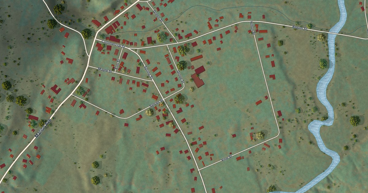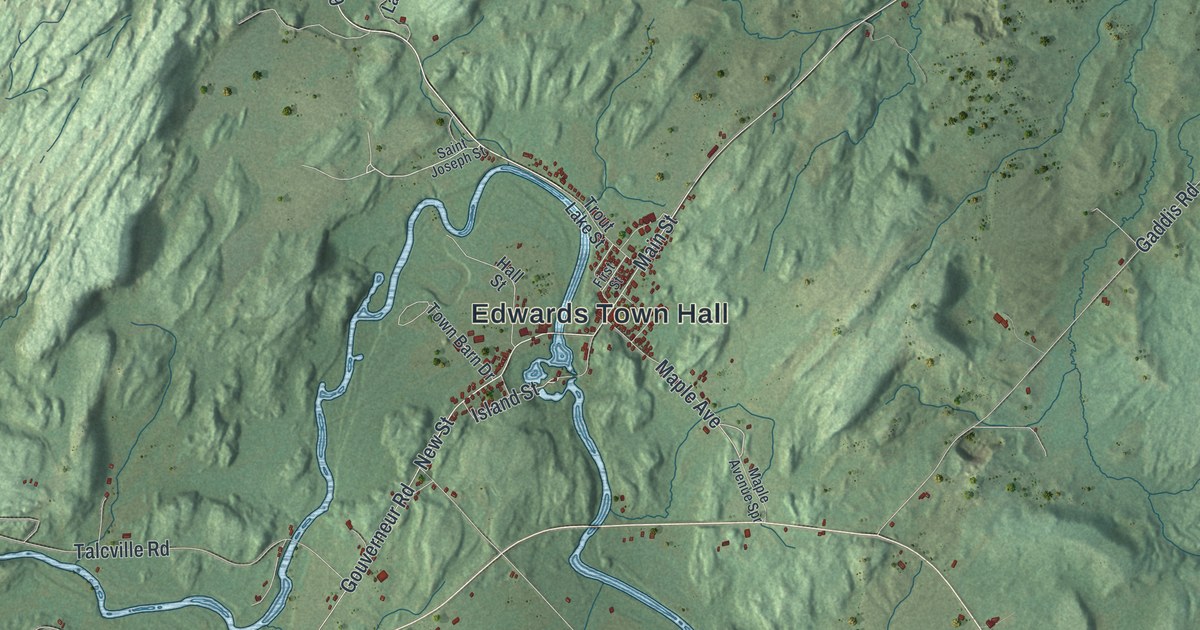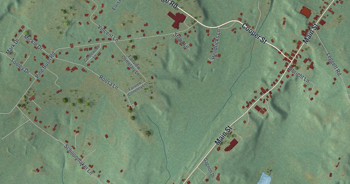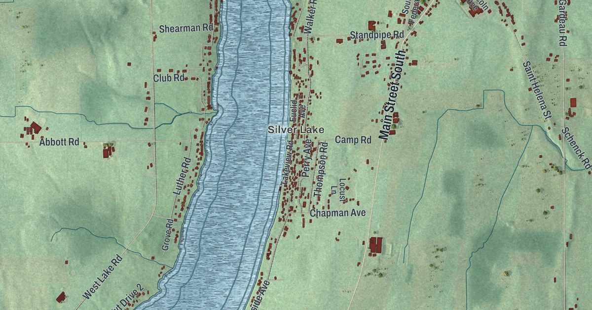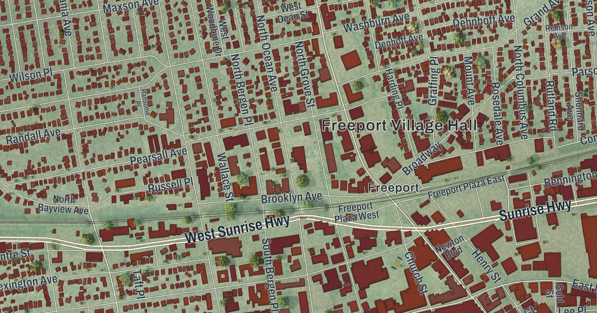
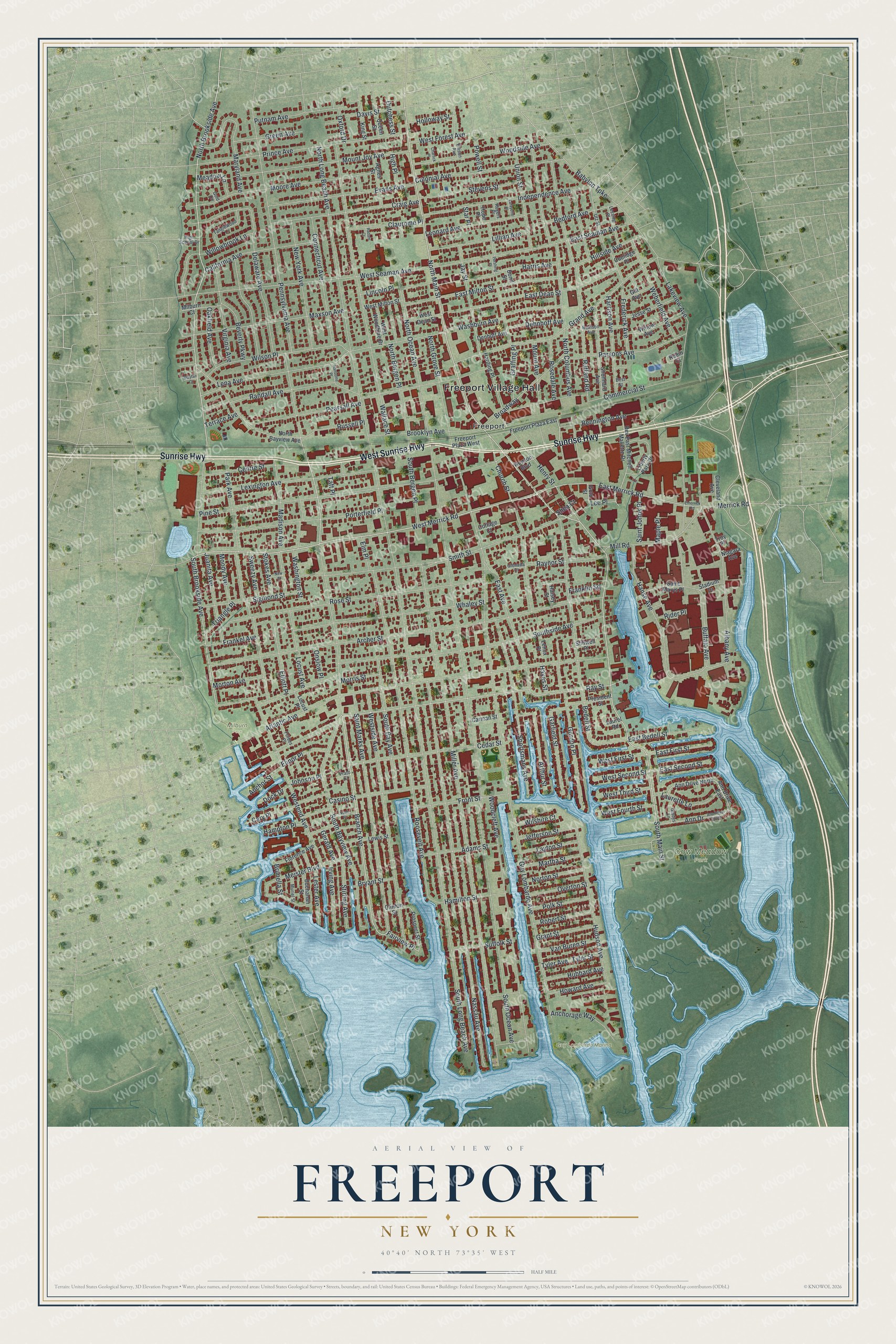
This beautifully detailed map of Freeport, New York was created in 2026 using aerial imagery combined with modern topographical, census, street and landmark data. It’s a one-of-a-kind view of Freeport that combines accurate data with a vintage aesthetic. The map shows every building in its true location, many of the roads carry their names, and the shaded topographic relief shows the shape of the land.
Explore an aerial view of Freeport, New York
On the map you’ll find Freeport Village Hall, Cow Meadow Park, and Milburn Park, along with Sunrise Highway, Bayview Avenue, Main Street, Brookside Avenue, and more. If you look closely you can even find your house accurately drawn in its correct location. Zoom in on the preview to look for yours.
Did You Know?
In 1853 residents voted to rename their village Freeport. The name came from a colonial nickname among ship captains. Captains could land cargo here without paying customs duties. After the Civil War, Freeport grew into a center for commercial oystering.
Take a closer look at the Freeport map
Names on this map
These names are printed on this map.
Places: Freeport Village Hall, Cow Meadow Park, Guy Lombardo Marina, Milburn Park and Freeport.
Streets and roads: Sunrise Highway, West Sunrise Highway, South Bayview Avenue, South Main Street, North Main Street, North Brookside Avenue, West Merrick Road, Branch Avenue, Merrick Road, South Brookside Avenue, Fairview Place, Ray Street.
More street names, A to Z
Adams Street, Agnes Street, Albany Avenue, Anchorage Way, Anchor Street, Ann Drive, Ann Drive East, Ann Drive North, Ann Drive South, Archer Street, Arthur Street, Atlantic Avenue, Babylon Turnpike, Bedell Street, Bedford Avenue, Bennington Avenue, Best Street, Beverly Parkway, Bond Street, Broadway, Brooklyn Avenue, Brunella Street, Bryant Street, Buchanan Street, Buffalo Avenue, California Avenue, Carman Street, Cary Place, Casino Street, Cedar Street, Centre Street, Charlick Place, Church Street, Claurome Place, Cleveland Avenue, Clinton Street, Colonial Avenue, Commercial Street, Connecticut Avenue, Coolidge Place, Cottage Court, Craig Avenue, Davis Street, Dehnhoff Avenue, Delaware Avenue, Denhoff Avenue, Dock Drive, Dutchess Street, East Avenue, East Bedell Street, East Dean Street, East First Street, East Merrick Road, East Milton Street, East Seaman Avenue, East Second Street, Elinor Place, Elliott Place, Ellison Avenue, Elm Place, Emerrick Road, Evans Avenue, Florence Avenue, Forbes Place, Frankel Avenue, Franklin Square, Frederick Avenue, Freeport Plaza East, Freeport Plaza West, Front Street, Garfield Street, Gerald Avenue, Gill Avenue, Gladys Lane, Glenada Court, Gold Circle, Gold Street, Gordon Place, Graffing Place, Grand Avenue, Grant Street, Green Avenue, Guy Lombardo Avenue, Halsey Street, Hamilton Street, Hampton Place, Hanse Avenue, Hansome Place, Harding Place, Harris Avenue, Harrison Avenue, Hayes Street, Henry Street, High Place, High School Drive, Hillside Avenue, Holloway Street, Hope Place, Howard Avenue, Hubbard Avenue, Hudson Avenue, Independence Avenue, Irving Avenue, Jay Street, Jefferson Street, Jesse Street, Johnson Place, Juanita Avenue, King Street, Lafayette Place, Lakeview Avenue, Laurel Road, Laurette Lane, Layton Street, Lee Place, Lena Avenue, Lenox Place, Leonard Avenue, Lessing Place, Lester Avenue, Lewis Street, Lexington Avenue, Liberty Park Drive, Lillian Avenue, Lincoln Place, Locust Avenue, Locust Place, Madison Avenue, Maple Place, Martha Street, Maryland Avenue, Maxson Avenue, Mayfair Court, Meadow Lane, Meister Boulevard, Milburn Court, Miller Avenue, Mill Road, Moody Avenue, Moore Avenue, Morris Street, Morton Avenue, Mount Avenue, Mount Joy Avenue, Muriel Street, Nassau Avenue, New Street, Newton Boulevard, New York Avenue, Niagara Avenue, Noon Place, North Bayview Avenue, North Bergen Place, North Columbus Avenue, North Grove Street, North Long Beach Avenue, North Ocean Avenue, Norton Street, Oakfield Avenue, Onslow Place, Overton Street, Oxford Drive, Park Avenue, Parsons Avenue, Pearsall Avenue, Pennsylvania Avenue, Pershing Place, Pine Street, Polk Street, Porterfield Place, Powell Street, Prato Court, President Street, Prince Avenue, Prospect Street, Putnam Avenue, Queen Street, Radam Court, Randall Avenue, Raynor Street, Remson Avenue, Rev East Mitchell Mallette Drive, Rider Place, Robert Street, Robin Court, Rogers Place, Roosevelt Avenue, Rosedale Avenue, Rose Street, Russell Place, Rutland Road, Saint Johns Place, Saint Marks Avenue, Saint Marys Place, Shea Court, Shonnard Avenue, Sigmond Street, Smith Street, South Bay Avenue, South Bergen Place, South Long Beach Avenue, South Ocean Avenue, Southside Avenue, Sportsmans Avenue, Stadium Drive, Star Place, Stevens Street, Stillwell Place, Stirling Avenue, Stokes Avenue, Suffolk Street, Sweezy Avenue, Taft Place, Tanglewood Lane, Terrace Avenue, Triangle Place, Troy Place, Tyler Avenue, Tyler Street, Union Street, Utz Street, Van Buren Street, Virginia Avenue, Wallace Street, Washburn Avenue, Washington Street, Weberfield Avenue, West Dean Street, Westend Avenue, West First Street, West Forest Avenue, West Fourth Street, West Milton Street, West Seaman Avenue, West Second Street, Westside Avenue, West Third Street, West Woodbine Drive, Whaley Street, Willow Avenue, Willowbrook Lane, Wilshire Court, Wilson Place, Woodcleft Avenue, Woodside Avenue.
See it on a wall
The Freeport map as a framed print. Swipe for more.


This beautifully detailed map of Freeport makes an attractive addition to your office, library, or den, and it can even be used to teach children the geography and history of the area. It also makes a great gift for anyone who grew up in Freeport or moved away. When you’re done exploring, click here to get your copy of the Freeport map.