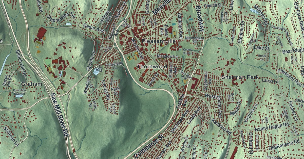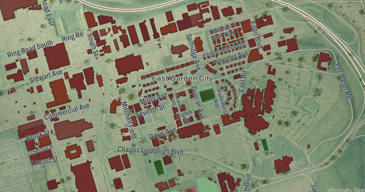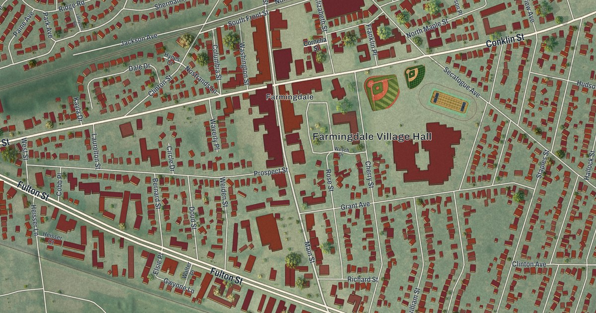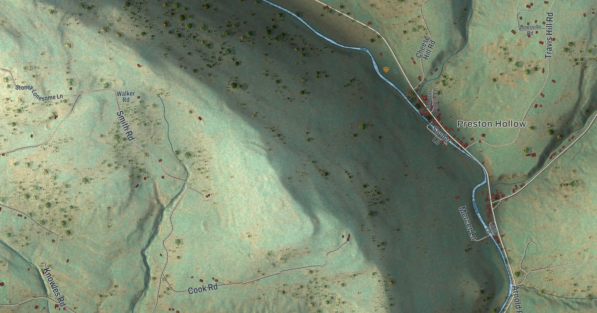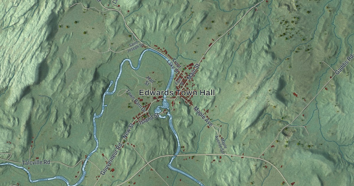
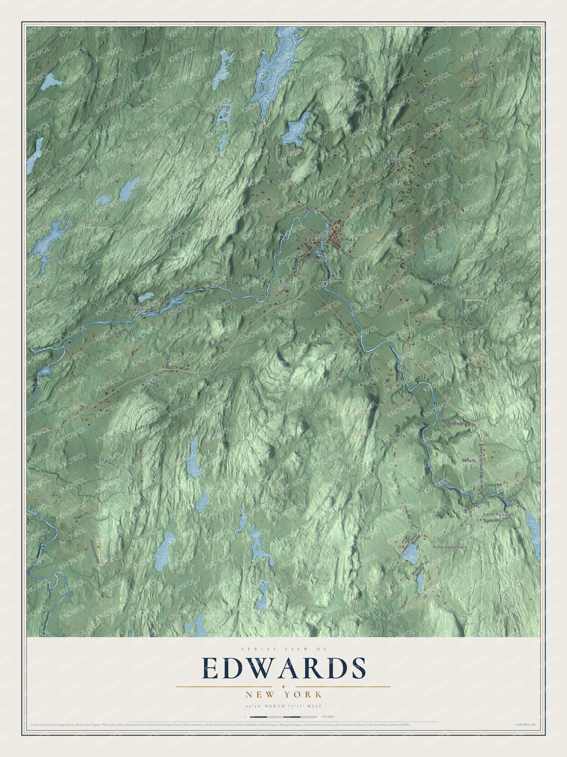
This beautifully detailed map of Edwards, New York was created in 2026 using aerial imagery combined with modern topographical, census, street and landmark data. It’s a one-of-a-kind view of Edwards that combines accurate data with a vintage aesthetic. The map shows every building in its true location, many of the roads carry their names, and the shaded topographic relief shows the shape of the land.
Explore an aerial view of Edwards, New York
On the map you’ll find Edwards Town Hall, South Edwards, Pond Settlement, Talcville, Stammer Creek State Forest, Trout Lake State Forest, and Wolf Lake State Forest, along with New Street, Guiles Road, Main Street, Island Street, and more. If you look closely you can even find your house accurately drawn in its correct location. Zoom in on the preview to look for yours.
Did You Know?
Settlers began arriving in Edwards during the War of 1812. The village took its name from Edward McCormack, a brother of its founder. The town was formed in 1827 from part of Fowler. The village of Edwards dissolved at the end of 2012, leaving the town as the single government.
Take a closer look at the Edwards map
Names on this map
These names are printed on this map.
Places: Edwards Town Hall, South Edwards, Pond Settlement, Talcville, Stammer Creek State Forest, Trout Lake State Forest and Wolf Lake State Forest.
Streets and roads: New Street, Guiles Road, Main Street, Island Street, River Road, Talcville Road, Thomlinson Road, Campbell Road, Sullivan Road, Ames Road, Gaddis Road, Court Rt 19.
More street names, A to Z
Bancroft Road, Berg Road, Bingo Road, Birch Heights, Cedar Lake Road, Cole Road, Colony Road, County Route 24, East Pitcairn South Edwards Road, First Street, Fletcher Road, Givens Road, Gouverneur Road, Hall Street, Harmon Road, Hermon-Edwards Road, Jones Pond Road, Jones Road, Maple Avenue, Maple Avenue Spr, Old Route 58, Old State Highway 58, Rice Road, Saint Joseph Street, Shaw Road, Shawville Road, Spruce Road, Stammerville Road, Town Barn Drive, Trout Lake Street, Watson Road, Whispering Winds Drive.
See it on a wall
The Edwards map as a framed print. Swipe for more.


This beautifully detailed map of Edwards makes an attractive addition to your office, library, or den, and it can even be used to teach children the geography and history of the area. It also makes a great gift for anyone with Edwards roots. When you’re done exploring, click here to get your copy of the Edwards map.