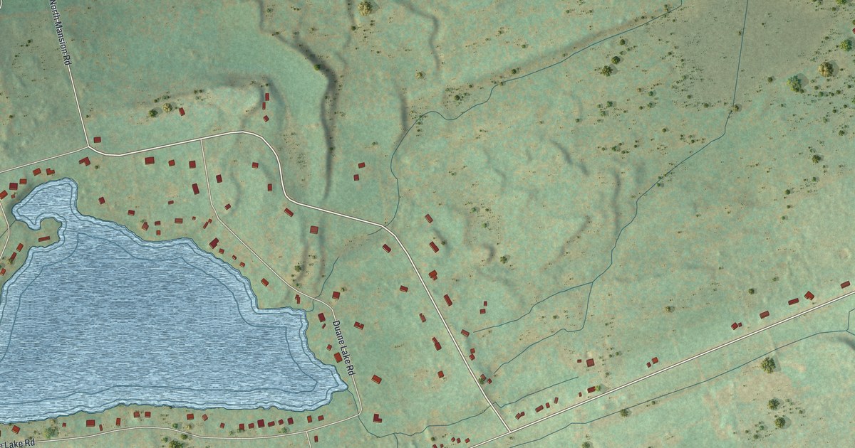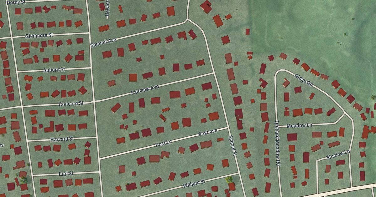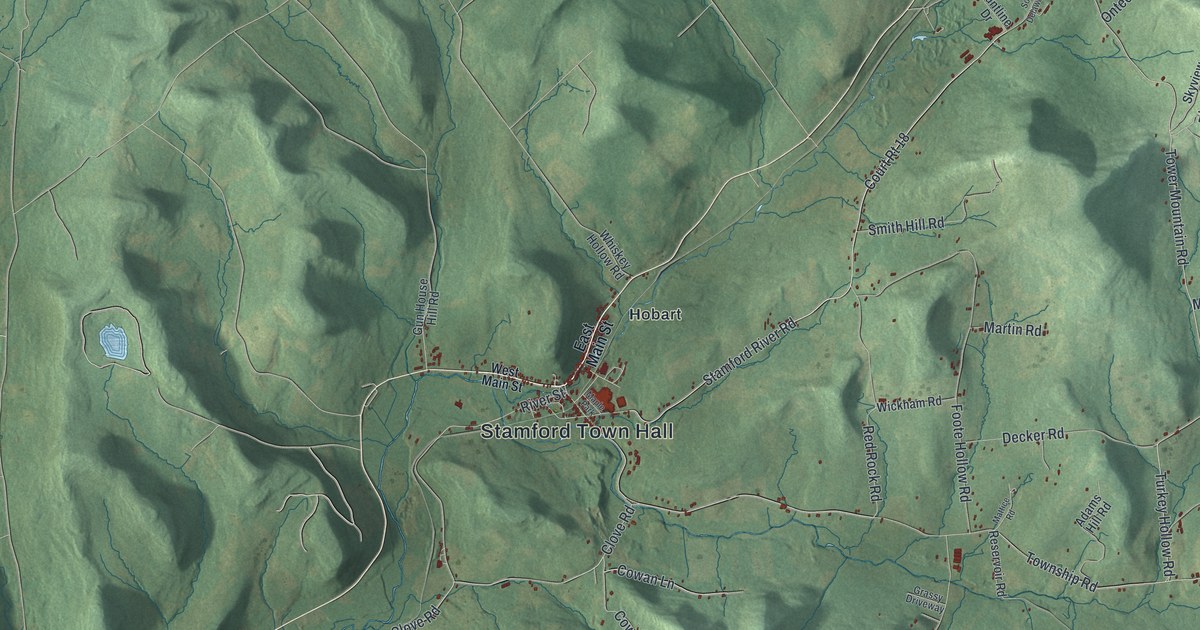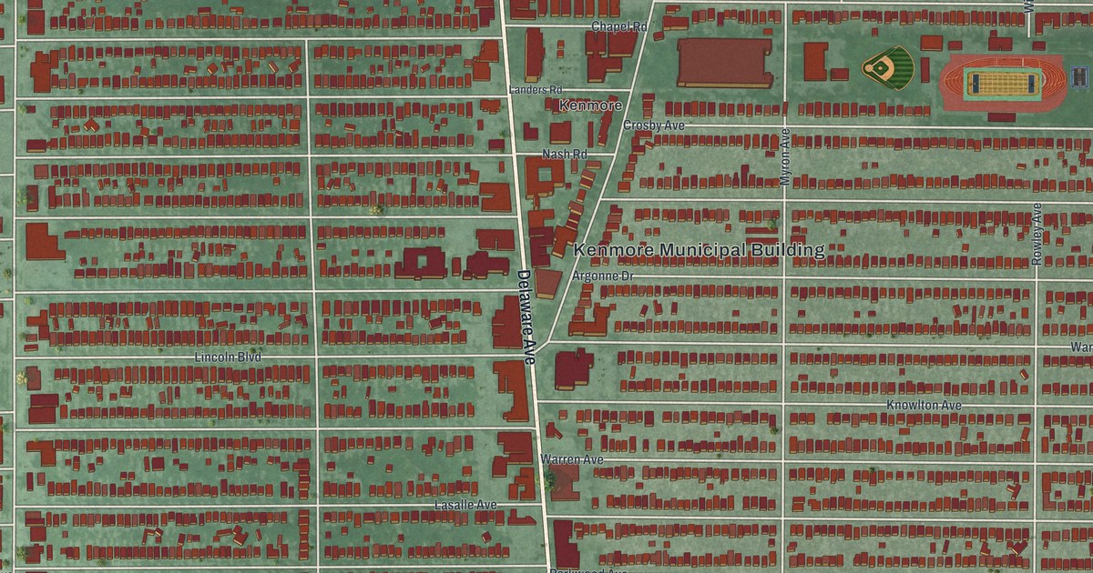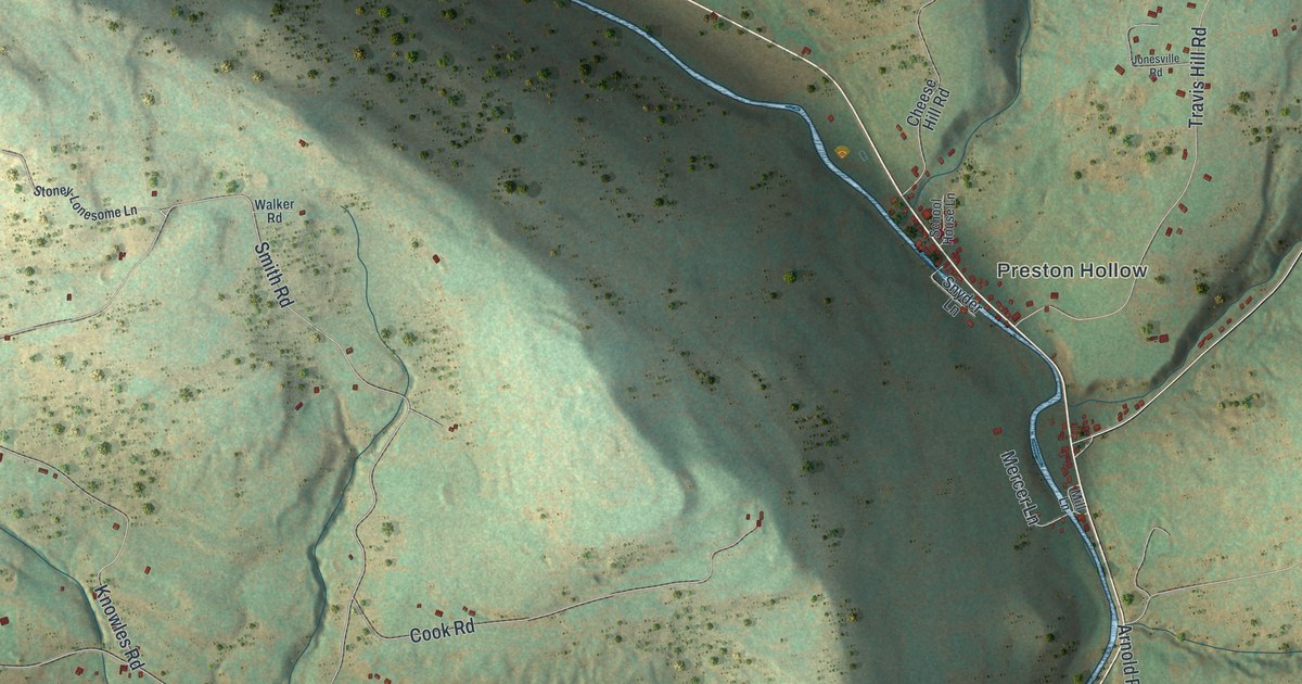
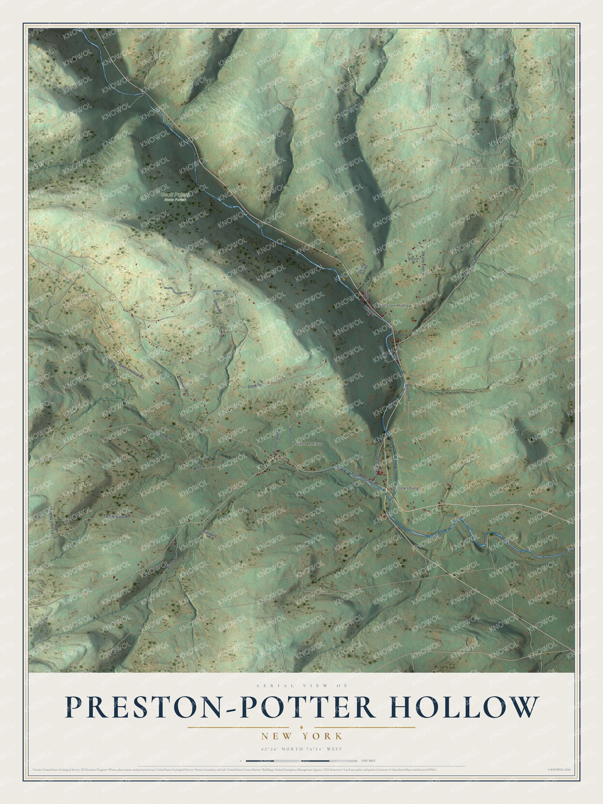
This beautifully detailed map of Preston-Potter Hollow, New York was created in 2026 using aerial imagery combined with modern topographical, census, street and landmark data. It's a modern aerial view of Preston-Potter Hollow in Albany County, New York, that combines modern data with a vintage aesthetic. The roads feature printed names, and if you look closely you can find your exact house accurately shown in its correct location.
Explore an aerial view of Preston-Potter Hollow, New York
On this map you'll find Cooksburg, Preston Hollow, Potter Hollow, Scott Patent State Forest, Potter Hollow Road, Fox Creek Road, Pucker Street, Smith Road, Arnold Road, Tanglewood Road, Knowles Road, Travis Hill Road, and more. Each red shape is a building, so zoom in on the preview and look for yours.
Every town has a first chapter, and Preston-Potter Hollow is no exception. Potter's Hollow took its name from its early settlers Samuel and Timothy Potter and was first settled about 1806. Potter Palmer, the Chicago millionaire who owned the well known Palmer House hotel, was born and grew up here, where his father Benjamin Palmer was a large farmer and landowner and a justice of the peace. Preston Hollow, the other village in the name, sits on Catskill Creek and was founded by Dr. Samuel Preston in 1798. That's from the History of the County of Albany.
Preston-Potter Hollow is a community in Albany County. The Census Bureau counted 367 people here in 2020.
Take a closer look at the Preston-Potter Hollow map
Names on this map
These names are printed on this map.
Places: Cooksburg, Preston Hollow, Potter Hollow and Scott Patent State Forest.
Streets and roads: Potter Hollow Road, Fox Creek Road, Pucker Street, Smith Road, Arnold Road, Tanglewood Road, Knowles Road, Travis Hill Road, Cook Road, Bates Hollow Road, Engle Road, Burkhardt Road.
More street names, A to Z
Bates Lane, Cheese Hill Road, Frieda's Hill Lane, Friedas Hill Lane, Jonesville Road, Kings Lane, Mercer Lane, Mill Lane, Rivenburg Lane, Sandy Lane, School House Lane, Snyder Lane, Stoney-Lonesome Lane, Walker Road.
See it on a wall
The Preston-Potter Hollow map as a framed print. Swipe for more.


Created by KNOWOL in 2026. The buildings are small red shapes, the roads carry their printed names, and shaded relief shows the shape of the land. The title panel reads "AERIAL VIEW OF PRESTON-POTTER HOLLOW, NEW YORK" with 42°26' NORTH 74°14' WEST.
Hang it in the hallway, the office or the cabin, or give it to someone who left Preston-Potter Hollow and still calls it home. Open the preview and look for a street you know. See sizes and frames for the Preston-Potter Hollow map.