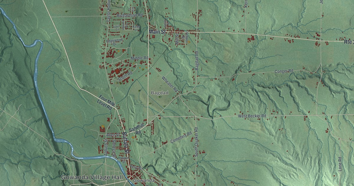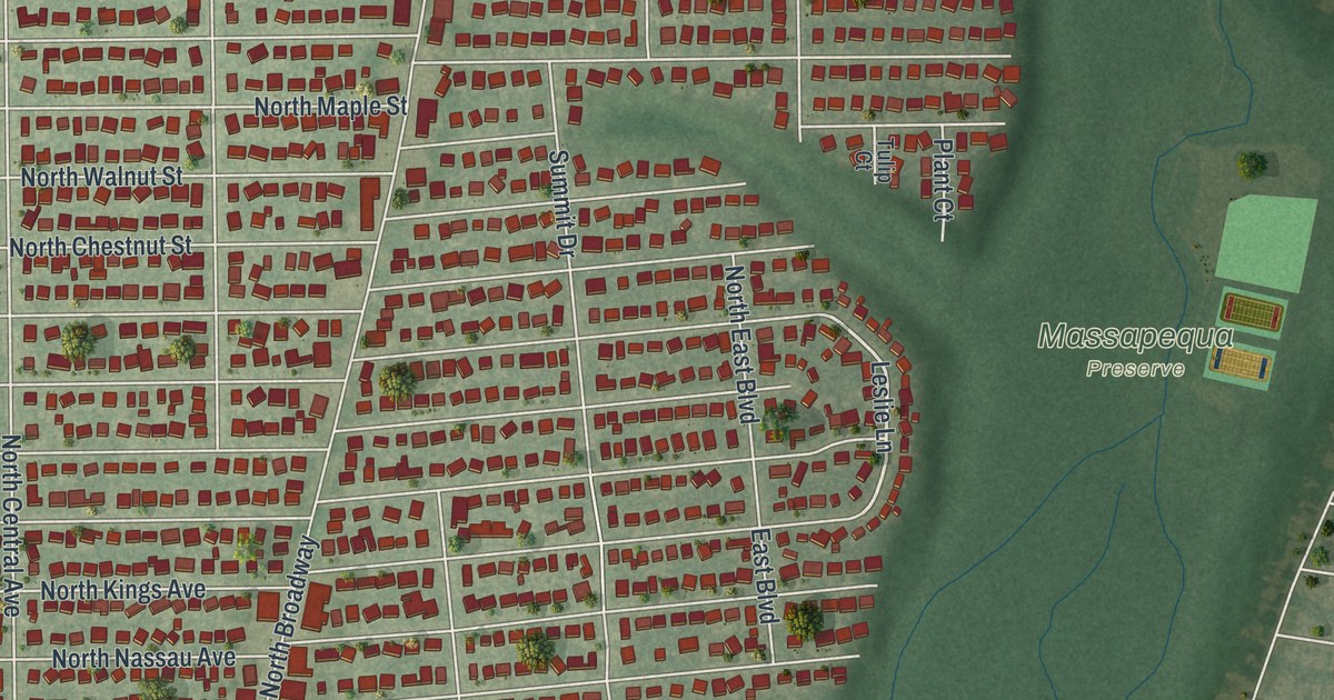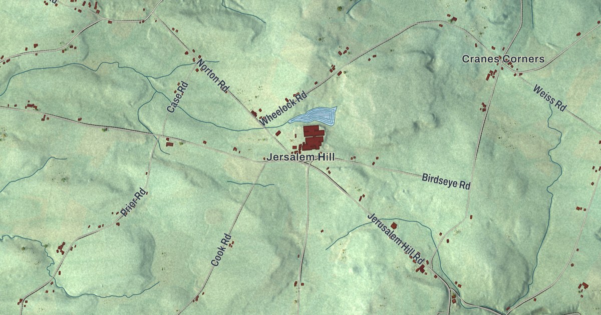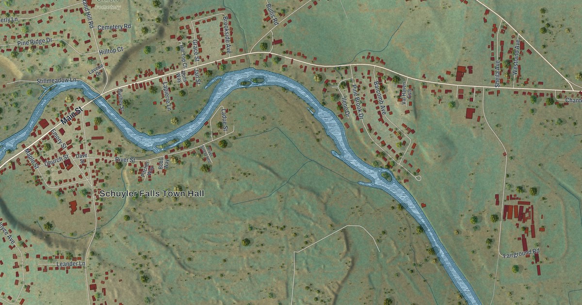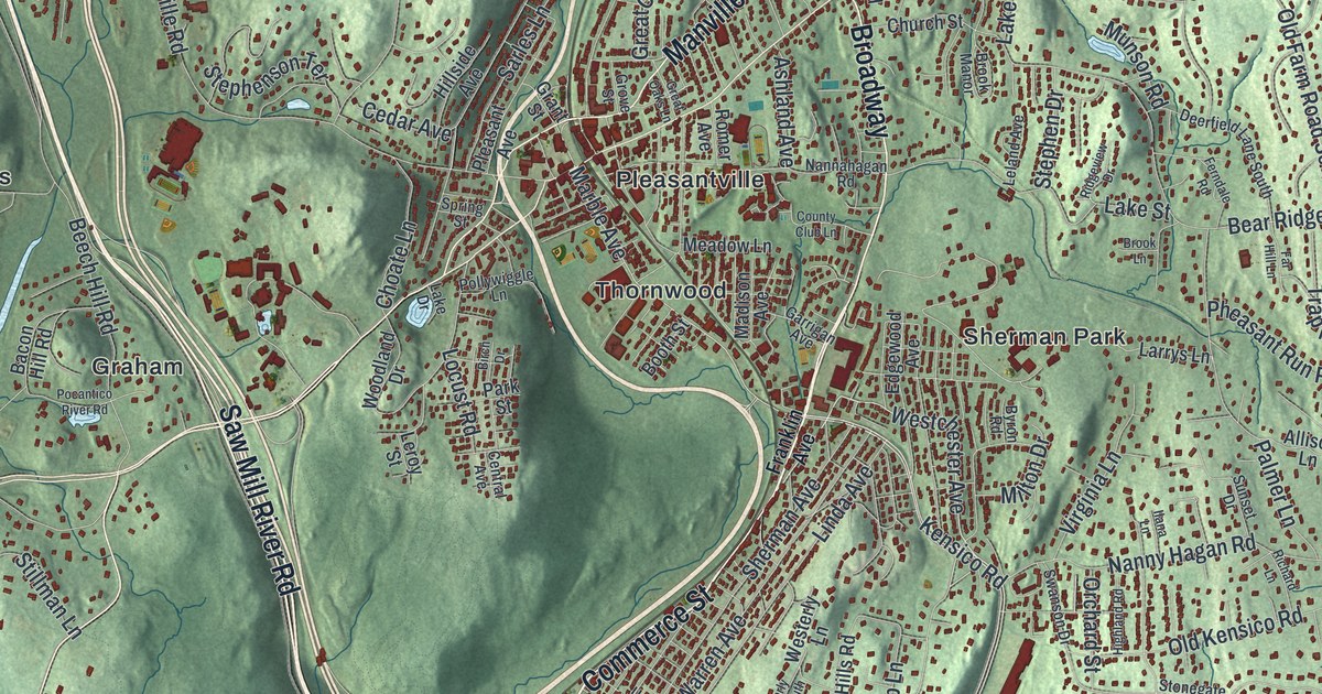
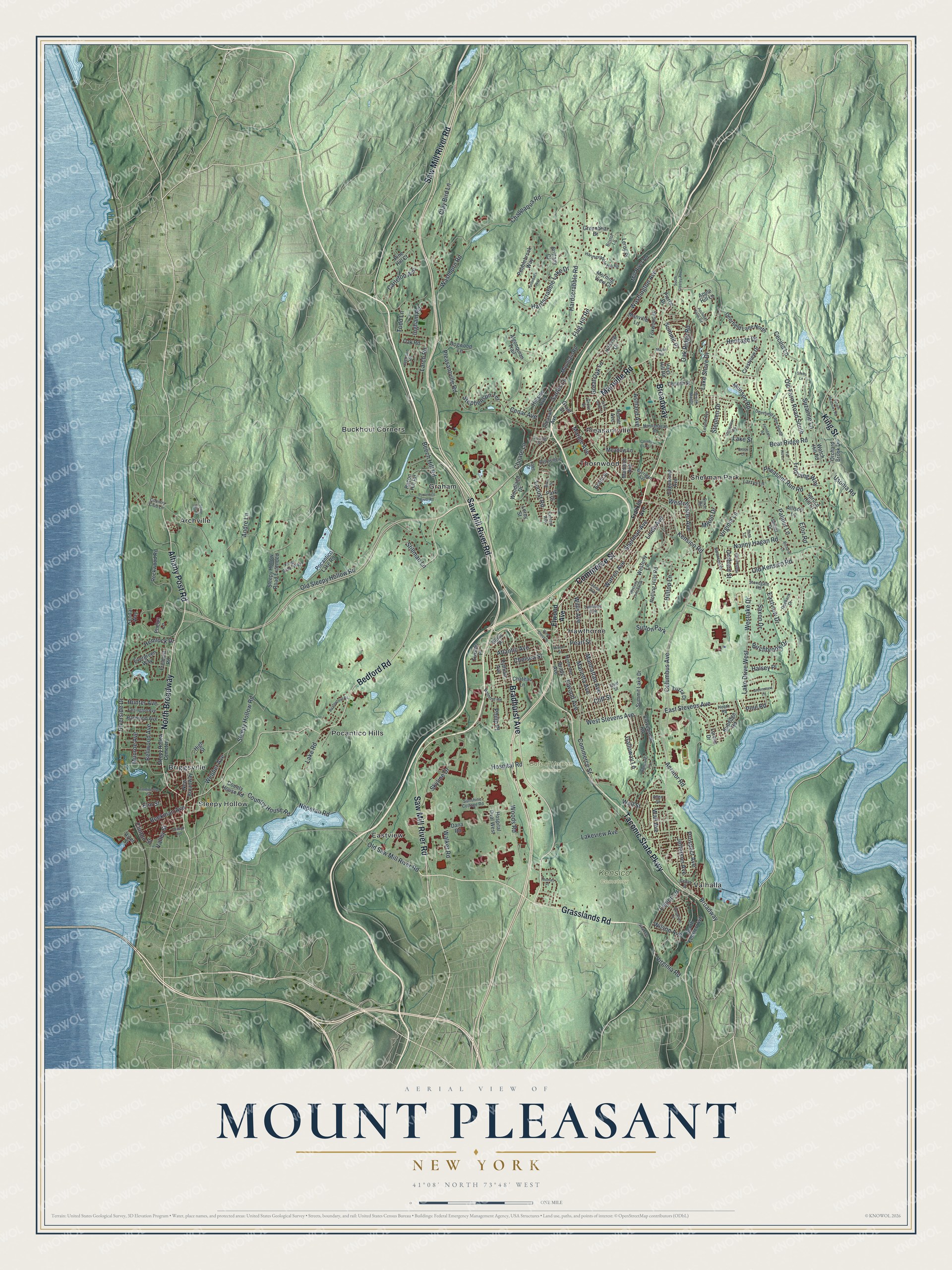
This beautifully detailed map of Mount Pleasant, New York was created in 2026 using aerial imagery combined with modern topographical, census, street and landmark data. It’s a one-of-a-kind view of Mount Pleasant that combines accurate data with a vintage aesthetic. The map shows every building in its true location, many of the roads carry their names, and the shaded topographic relief shows the shape of the land.
Explore an aerial view of Mount Pleasant, New York
On the map you’ll find North Broadway, Archville, Briggsville, Buckhout Corners, Eastview, Graham, Gate of Heaven Cemetery, and Kensico Cemetery, along with Saw Mill River Road, Bradhurst Avenue, Grasslands Road, Albany Post Road, and more. If you look closely you can even find your house accurately drawn in its correct location. Zoom in on the preview to look for yours.
Did You Know?
Kykuit, the John D. Rockefeller Estate, stands in Pocantico Hills in the town of Mount Pleasant. The 40-room house was built for the oil tycoon and finished in 1913. Four generations of the family lived there. Its Dutch name means lookout, and it sits on the highest point in the hamlet.
Take a closer look at the Mount Pleasant map
Names on this map
These names are printed on this map.
Places: Gate of Heaven Cemetery, Kensico Cemetery, Archville, Briggsville, Buckhout Corners, Eastview, Graham, Hawthorne, Pleasantville, Pocantico Hills, Sherman Park, Sleepy Hollow, Thornwood, Valhalla, Sutton Park and Sleepy Hollow Cemetery.
Streets and roads: Saw Mill River Road, Bradhurst Avenue, Grasslands Road, Albany Post Road, North Broadway, Commerce Street, Broadway, Bedford Road, Taconic State Parkway, Manville Road, King Street, Columbus Avenue.
More street names, A to Z
Aerator Road, Algonquian Trail, Allen Street, Allison Lane, Andre Lane, Applehill Farm Road, Apple Hill Lane, Ashland Avenue, Atlantic Avenue, Bacon Hill Road, Bear Ridge Road, Beech Hill Road, Beekman Avenue, Bellwood Avenue, Belmont Road, Benic Place, Birchbrook Drive, Birch Drive, Booth Street, Brady Avenue, Bristol Lane, Brittany Court, Brook Lane, Brook Manor, Byram Meadows Road, Byron Road, Carleton Avenue, Cecilia Lane, Cedar Avenue, Cedar Street, Central Avenue, Chappaqua Road, Chateau Lane, Chelsea Street, Choate Lane, Church Street, Clay Bird Lane, Cliff Street, Clinton Street, Clovebrook Road, College Avenue, Continental Street, Country Club Lane, Country House Road, County Club Lane, County House Road, Crestview Drive, Dana Road, Deerfield Lane North, Deerfield Lane South, Dogwood Lane, East Stevens Avenue, Eastview Drive, Edgewood Avenue, Elm Street, Elwood Avenue, Eton Road, Evergreen Way, Far Hill Lane, Farrington Avenue, Ferndale Road, Flag Hill Road, Foxwood Drive, Franklin Avenue, Fremont Road, Galloway Lane, Garrigan Avenue, Gold Street, Grant Street, Great Oak Lane, Great Oaks Lane, Greenbriar Drive, Greenwood Lane, Grove Street, Halsey Place, Hardscrabble Hill Road, Hardscrabble Lake Drive, Hardscrabble Road, Harwood Avenue, Hays Hill Road, Heath Road, Hemlock Drive, Heritage Drive, Highclere Lane, Highland Road, High Street, Hillside Avenue, Hilltop Lane, Hillview Drive, Hospital Oval West, Hospital Road, Hunter Avenue, Ilana Lane, Ingham Road, Jackson Road, Jefferson Avenue, Kendal Way, Kensico Road, Kings Grant Way, Lake Drive, Lake Drive West, Lake Road, Lake Shore Drive, Lake Street, Lakeview Avenue, Larch Road, Larrys Lane, Legion Drive, Leland Avenue, Leroy Place, Leroy Street, Linda Avenue, Locust Road, Lorenz Drive, Lozza Drive, Lynwood Avenue, Madison Avenue, Manhattan Avenue, Manville Lane, Maple Hill, Marble Avenue, Marietta Avenue, Meadow Lane, Milford Street, Mill River Road, Milton Drive, Morning View Court, Mountain Road, Munroe Avenue, Munson Road, Myrtle Avenue, Nannahagan Road, Nanny Hagan Road, Neperan Road, New Broadway, Oak Ridge Road, Oak Road, Old Farm Road South, Old Kensico Road, Old Saw Mill River Road, Old Sleepy Hollow Road, Orchard Brook Drive, Orchard Street, Palmer Lane, Park Street, Pearl Street, Pebblebrook Way, Pheasant Run Road, Phelps Lane, Philip Place, Pierce Drive, Pine Hill Court, Pine Road, Pleasant Avenue, Pleasantville Road, Pocantico Lake Road, Pocantico River Road, Pollywiggle Lane, Prospect Avenue, Pythian Avenue, Raafenberg Road, Reeback Drive, Richard Lane, Ridgeview Drive, Riverside Drive, River Street, Rockwood Road, Rolling Hills Road, Romer Avenue, Roosevelt Drive, Rutledge Road, Sarles Lane, Saxon Drive, Sherman Avenue, Skyline Drive, Sleepy Hollow Road, Sleepy Hollow Road Extended, South Greeley Avenue, South Kensico Avenue, Spring Street, Spruce Hill Court, Stella Lane, Stephen Drive, Stephens Lane, Stephenson Terrace, Stillman Lane, Stonegate Road, Summit Lake Drive, Summit Place, Sunset Drive, Sunshine Cottage Road, Suzanne Lane, Swanson Drive, Thomas Place, Todd Lane, Tower Hill Road, Trapping Way, Turtleback Way, Tuxedo Place, Union Avenue, Usonia Road, Valley Street, Virginia Lane, Virginia Road, Walker Road, Wall Avenue, Wall Street, Warren Avenue, Washburn Road, Washington Avenue, Watch Hill Road, Webber Avenue, Westchester Avenue, West Cross Street, Westerly Lane, Westerly Lane South, Westlake Drive, West Stevens Avenue, Willis Avenue, Wilson Avenue, Woodland Drive, Woods Road.
See it on a wall
The Mount Pleasant map as a framed print. Swipe for more.


This beautifully detailed map of Mount Pleasant makes an attractive addition to your office, library, or den, and it can even be used to teach children the geography and history of the area. It also makes a great gift for anyone who grew up in Mount Pleasant or moved away. When you’re done exploring, click here to get your copy of the Mount Pleasant map.